Carnedd Das Eithin
Heritage Site in Montgomeryshire
Wales
Carnedd Das Eithin
Carnedd Das Eithin is a historic heritage site located in Montgomeryshire, Wales. It is a well-preserved Bronze Age burial cairn, also known as a tumulus or a round barrow. The site is situated on a hilltop, offering panoramic views of the surrounding landscape.
The cairn measures approximately 15 meters in diameter and stands at a height of 2 meters. It is made up of stones and earth, carefully constructed by the ancient inhabitants of the area. The burial mound is believed to date back to around 2000-1600 BC, making it over 3,000 years old.
Excavations carried out in the 19th century revealed that the cairn contained a central burial chamber, which had been looted in the past. However, some pottery fragments and cremated human remains were discovered, providing valuable insights into the burial practices of the Bronze Age people.
Carnedd Das Eithin is a significant archaeological site, offering a glimpse into the lives and rituals of the people who lived in the area during the Bronze Age. It is also a testament to their engineering skills and the importance they placed on honoring and remembering their deceased.
The site is easily accessible for visitors, with a footpath leading up to the cairn. Interpretive panels provide information about the history and significance of Carnedd Das Eithin, allowing visitors to appreciate the site in its historical context. The breathtaking views from the hilltop further enhance the visitor experience, making it a popular destination for history enthusiasts and nature lovers alike.
If you have any feedback on the listing, please let us know in the comments section below.
Carnedd Das Eithin Images
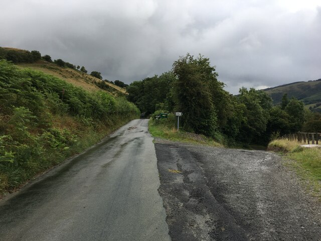
Images are sourced within 2km of 52.8/-3.402 or Grid Reference SJ0523. Thanks to Geograph Open Source API. All images are credited.


Carnedd Das Eithin is located at Grid Ref: SJ0523 (Lat: 52.8, Lng: -3.402)
Unitary Authority: Powys
Police Authority: Dyfed Powys
What 3 Words
///admires.downs.paint. Near Llangynog, Powys
Nearby Locations
Related Wikis
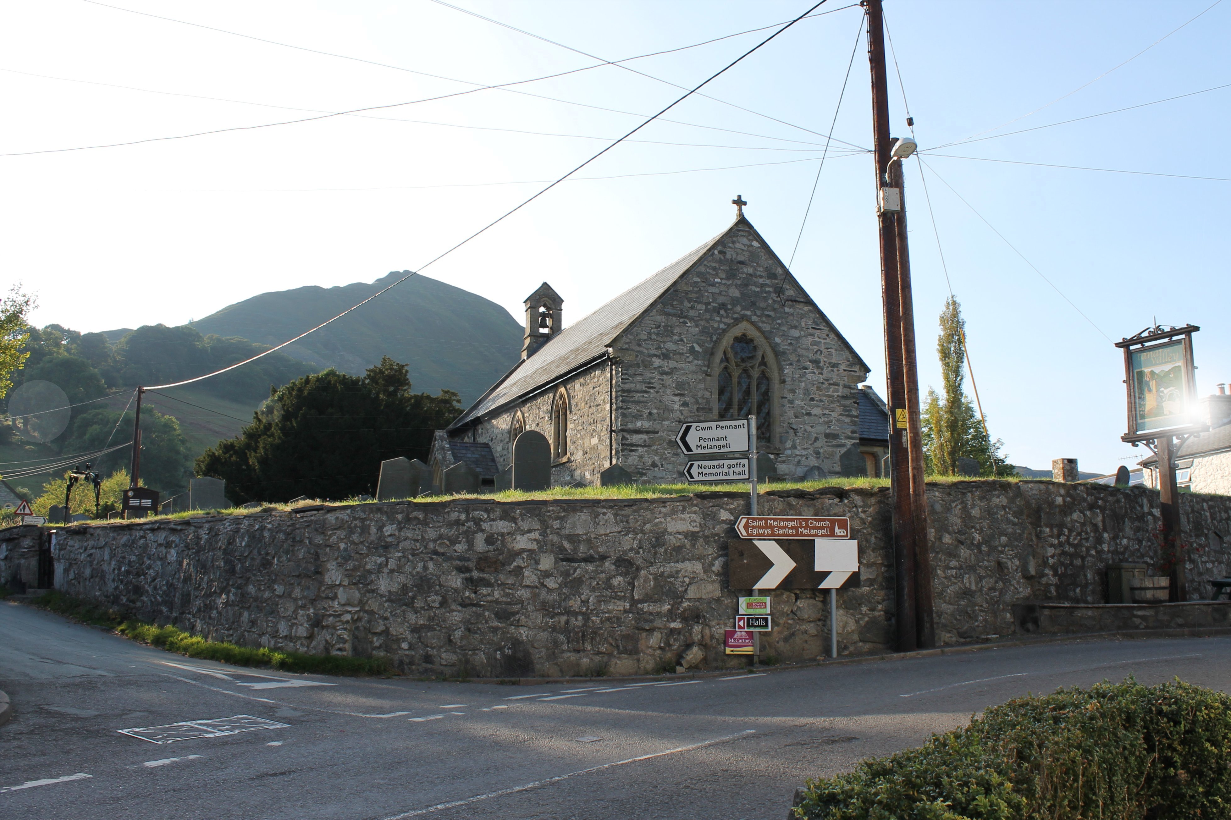
Llangynog
Llangynog (; grid reference SJ053261) is a village and community at the confluence of the Afon Eirth and the Afon Tanat at the foot of the Berwyn range...

Llangynog railway station
Llangynog railway station was the western terminus station of the Tanat Valley Light Railway in Llangynog, Powys, Wales. The station opened in 1904, closed...

Pen-y-Bont-Fawr
Pen-y-Bont-Fawr (or Penybontfawr) is a small village and community in Montgomeryshire, Powys, Wales located in the Tanat valley. In the 2011 UK Census...
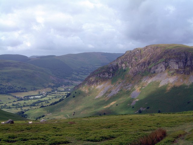
Craig Rhiwarth
Craig Rhiwarth is a mountain in the Berwyn range, in Powys (formerly Montgomeryshire), Wales, overlooking the village of Llangynog to the south. On the...
Nearby Amenities
Located within 500m of 52.8,-3.402Have you been to Carnedd Das Eithin?
Leave your review of Carnedd Das Eithin below (or comments, questions and feedback).