Carn Bwlch-y-cloddiau
Heritage Site in Montgomeryshire
Wales
Carn Bwlch-y-cloddiau

Carn Bwlch-y-cloddiau is a prominent heritage site located in Montgomeryshire, Wales. It is a Neolithic burial mound dating back to around 3200 BC, making it one of the oldest surviving structures in the region. The site is situated on a hilltop, offering breathtaking panoramic views of the surrounding landscape.
The mound itself is a circular structure with a diameter of approximately 24 meters and a height of 3 meters. It is constructed using large stones and earth, creating a distinctive profile that has remained largely intact over thousands of years. The interior of the mound is believed to contain a burial chamber, although it has not been excavated.
Carn Bwlch-y-cloddiau holds significant historical and cultural importance for the local community and archaeologists. It is thought to be a ceremonial site, possibly used for religious rituals and communal gatherings during the Neolithic period. The site's strategic position on the hilltop suggests that it may have also served as a beacon or marker for early settlers.
Today, Carn Bwlch-y-cloddiau is a popular destination for history enthusiasts and visitors seeking to explore the ancient past of Montgomeryshire. The site is easily accessible, with a well-maintained footpath leading to the top of the mound. Interpretive panels provide information about the site's history and significance.
As a designated heritage site, Carn Bwlch-y-cloddiau is protected by law, ensuring its preservation for future generations to appreciate and study. It stands as a testament to the rich archaeological heritage of Montgomeryshire and offers a fascinating glimpse into the lives and beliefs of our Neolithic ancestors.
If you have any feedback on the listing, please let us know in the comments section below.
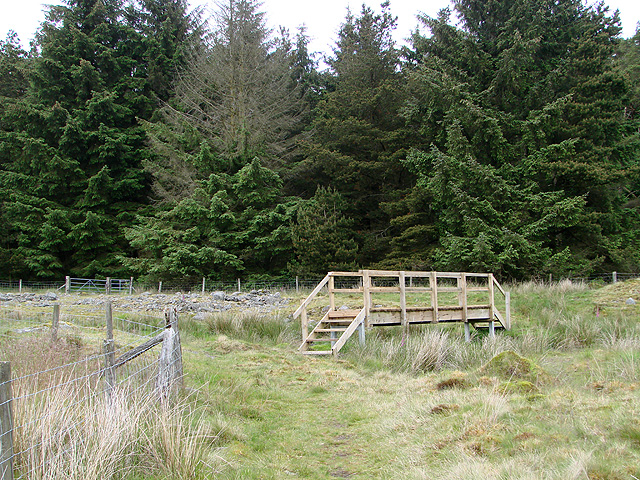
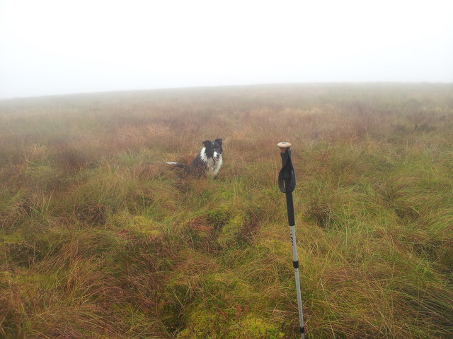
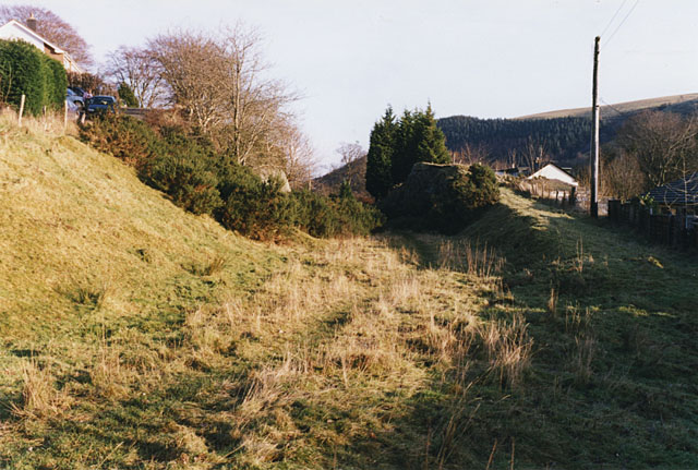
Carn Bwlch-y-cloddiau Images
Images are sourced within 2km of 52.3941/-3.6859 or Grid Reference SN8578. Thanks to Geograph Open Source API. All images are credited.


Carn Bwlch-y-cloddiau is located at Grid Ref: SN8578 (Lat: 52.3941, Lng: -3.6859)
Unitary Authority: Powys
Police Authority: Dyfed Powys
What 3 Words
///crinkled.appraised.looked. Near Cwmystwyth, Ceredigion
Nearby Locations
Related Wikis
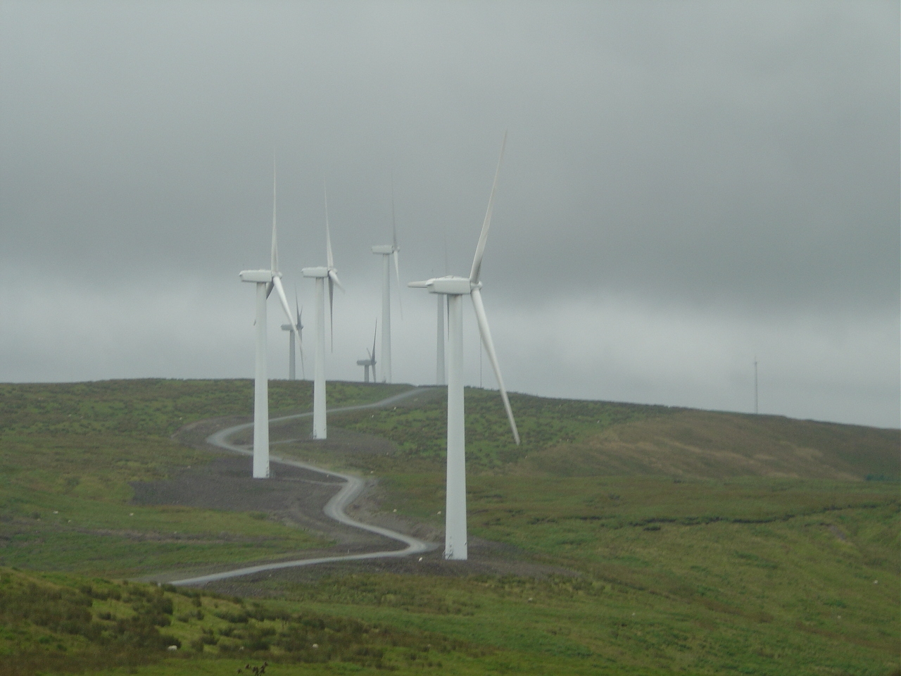
Cefn Croes Wind Farm
Cefn Croes is a wind farm in Ceredigion, Wales. It is located in the Cambrian Mountains on Cefn Croes mountain, 573m (1,880 ft) south of the A44 road between...

Elenydd
The Elenydd (Welsh: [ɛˈlɛnɨð]) is an upland area of Mid Wales, extending across parts of northern and eastern Ceredigion and Powys between Aberystwyth...
Llangurig railway station
Llangurig railway station was intended to serve the village and rural locale of Llangurig in the Welsh county of Powys. The station, which was on the Llangurig...

Llangurig
Llangurig is both a village and a community in Montgomeryshire, Powys, Wales. The population was 723 in the 2011 UK Census. The community includes the...
Nearby Amenities
Located within 500m of 52.3941,-3.6859Have you been to Carn Bwlch-y-cloddiau?
Leave your review of Carn Bwlch-y-cloddiau below (or comments, questions and feedback).