Llechwedd Ddu
Hill, Mountain in Montgomeryshire
Wales
Llechwedd Ddu

The requested URL returned error: 429 Too Many Requests
If you have any feedback on the listing, please let us know in the comments section below.
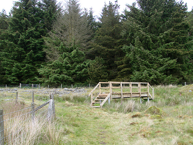
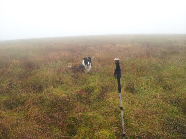
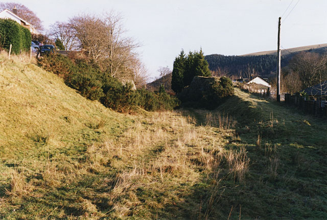
Llechwedd Ddu Images
Images are sourced within 2km of 52.394165/-3.6858874 or Grid Reference SN8578. Thanks to Geograph Open Source API. All images are credited.


Llechwedd Ddu is located at Grid Ref: SN8578 (Lat: 52.394165, Lng: -3.6858874)
Unitary Authority: Powys
Police Authority: Dyfed Powys
Also known as: Carnbwlchcloddiau
What 3 Words
///priced.ridiculed.cherry. Near Cwmystwyth, Ceredigion
Nearby Locations
Related Wikis
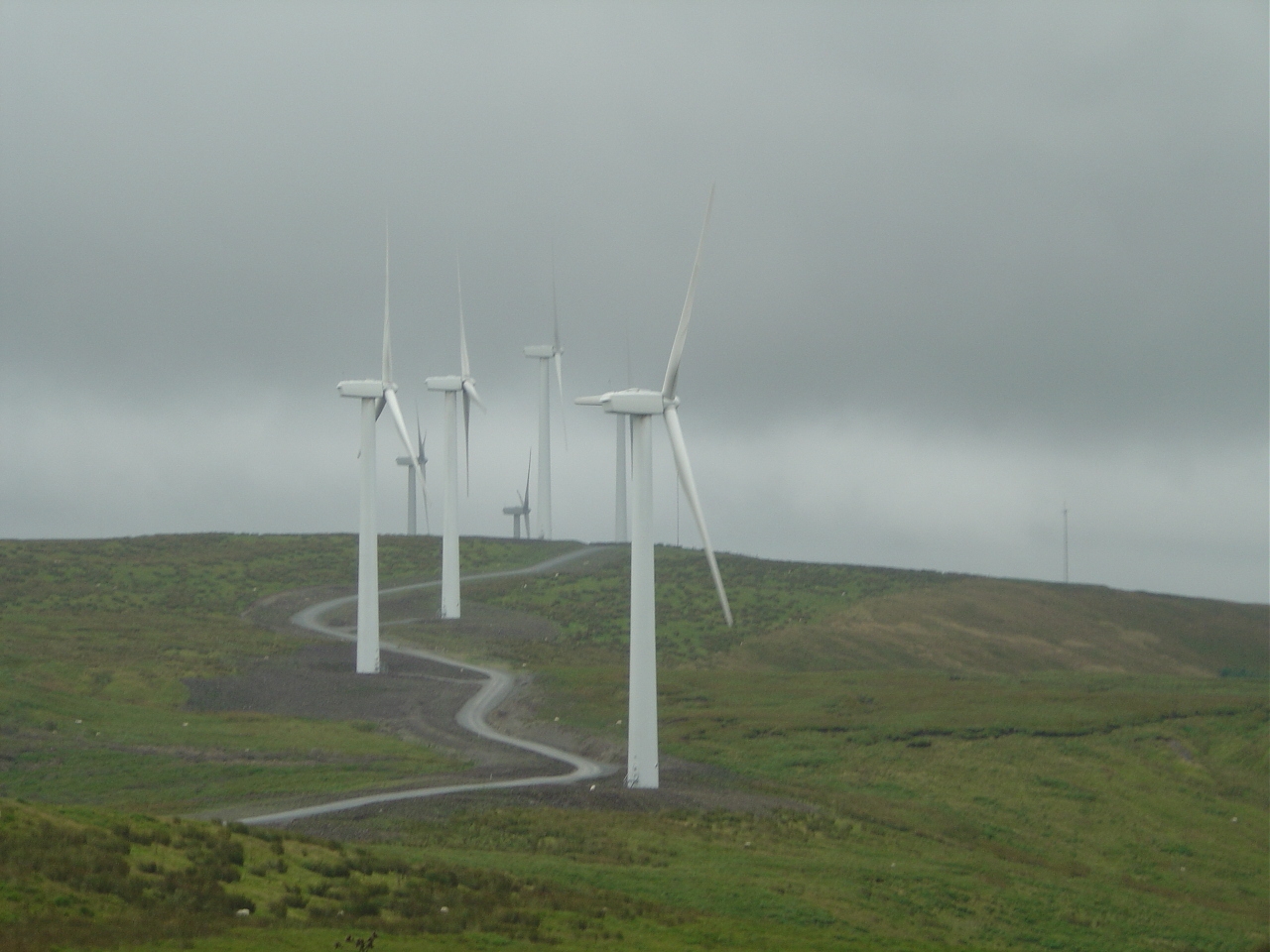
Cefn Croes Wind Farm
Cefn Croes is a wind farm in Ceredigion, Wales. It is located in the Cambrian Mountains on Cefn Croes mountain, 573m (1,880 ft) south of the A44 road between...

Elenydd
The Elenydd (Welsh: [ɛˈlɛnɨð]) is an upland area of Mid Wales, extending across parts of northern and eastern Ceredigion and Powys between Aberystwyth...
Llangurig railway station
Llangurig railway station was intended to serve the village and rural locale of Llangurig in the Welsh county of Powys. The station, which was on the Llangurig...

Llangurig
Llangurig is both a village and a community in Montgomeryshire, Powys, Wales. The population was 723 in the 2011 UK Census. The community includes the...
Nearby Amenities
Located within 500m of 52.394165,-3.6858874Have you been to Llechwedd Ddu?
Leave your review of Llechwedd Ddu below (or comments, questions and feedback).