Carn Dolgau

Heritage Site in Cardiganshire

Wales

Carn Dolgau

Dyffryn Melindwr Viewed from Bwlch Nant-yr-arian Visitor Centre.
Dyffryn Melindwr Credit: John Lucas

Carn Dolgau is an ancient heritage site located in Cardiganshire, Wales. This site is known for its well-preserved remains of a burial chamber and cairn, dating back to the Neolithic period. The burial chamber consists of a large capstone supported by several upright stones, creating a small chamber underneath. The cairn, which is a mound of stones covering the burial chamber, is believed to have been used for ritualistic purposes.

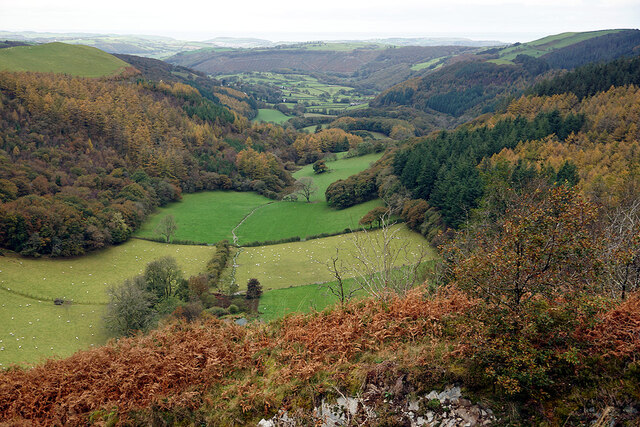
Carn Dolgau is situated in a picturesque and remote location, surrounded by rolling hills and lush greenery. The site offers visitors a glimpse into the ancient past, providing insight into the burial practices and spiritual beliefs of the people who lived in the area thousands of years ago.

Visitors to Carn Dolgau can explore the site on foot, taking in the stunning views of the surrounding countryside and marveling at the architectural ingenuity of the ancient builders. Interpretive signs provide information about the history and significance of the site, making it a valuable educational experience for those interested in archaeology and ancient civilizations. Carn Dolgau is a must-see destination for history buffs and nature lovers alike.

If you have any feedback on the listing, please let us know in the comments section below.
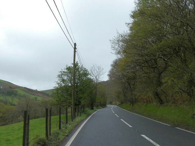
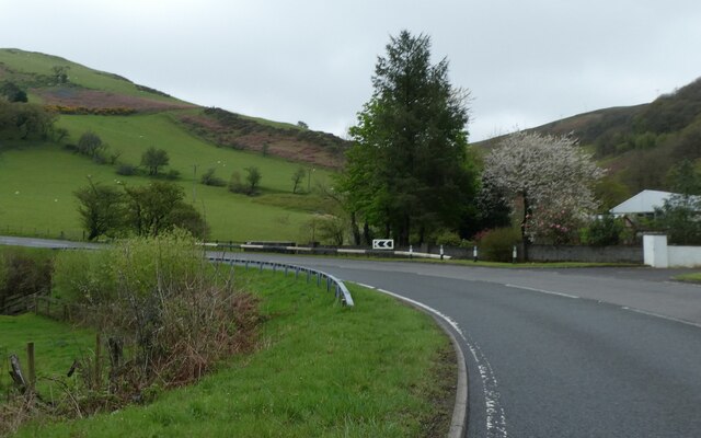
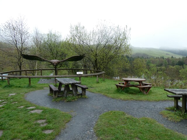
Carn Dolgau Images

Images are sourced within 2km of 52.425/-3.905 or Grid Reference SN7082. Thanks to Geograph Open Source API. All images are credited.

Dyffryn Melindwr Viewed from Bwlch Nant-yr-arian Visitor Centre.
Dyffryn Melindwr
Viewed from Bwlch Nant-yr-arian Visitor Centre.
Path leading down to Llyn Nant-yr-arian Strangely, the OS don't name this significant area of water on any map (available to me). The Nant-yr-arian café is visible on the right. A haven after a bracing walk (or ride) in the hills hereabouts!
Path leading down to Llyn Nant-yr-arian
Strangely, the OS don't name this significant area of water on any map (available to me). The Nant-yr-arian café is visible on the right. A haven after a bracing walk (or ride) in the hills hereabouts!
Pen-darren Near Nant-yr-arian Visitor Centre. Red kites are circulating above, waiting for the 2.00 feeding time.
Pen-darren
Near Nant-yr-arian Visitor Centre. Red kites are circulating above, waiting for the 2.00 feeding time.
A cyclist at Nant-yr-arian There is a multitude of paths and tracks in this area for walkers and cyclists.
A cyclist at Nant-yr-arian
There is a multitude of paths and tracks in this area for walkers and cyclists.
A view across Llyn Nant-yr-arian from Bwlch Nant-yr-arian
Cyclists on the hill A steep climb at Nant-yr-arian.
Cyclists on the hill
A steep climb at Nant-yr-arian.
Mountain bike track near Llyn Pendam
Forestry road near Esgair Gorlan
Mountain bike track Nant-yr-Arian
A44 skirting the valley above Nant Brwyno The A44 is a major road in the United Kingdom that runs for 155 miles from Oxford in southern England to Aberystwyth in west Wales.
<span class="nowrap"><a title="http://www.sabre-roads.org.uk/wiki/index.php?title=A44" rel="nofollow ugc noopener" href="http://www.sabre-roads.org.uk/wiki/index.php?title=A44">Link</a><img style="margin-left:2px;" alt="External link" title="External link - shift click to open in new window" src="https://s1.geograph.org.uk/img/external.png" width="10" height="10"/></span>  SABRE
<span class="nowrap"><a title="https://en.wikipedia.org/wiki/A44_road" rel="nofollow ugc noopener" href="https://en.wikipedia.org/wiki/A44_road">Link</a><img style="margin-left:2px;" alt="External link" title="External link - shift click to open in new window" src="https://s1.geograph.org.uk/img/external.png" width="10" height="10"/></span>  Wikipedia
A44 skirting the valley above Nant Brwyno
The A44 is a major road in the United Kingdom that runs for 155 miles from Oxford in southern England to Aberystwyth in west Wales. LinkExternal link SABRE LinkExternal link Wikipedia
A44 bend for Cwmbrwyno Bridge To avoid steep slopes, the A44 follows a contour round the valley and will double back after the curve
A44 bend for Cwmbrwyno Bridge
To avoid steep slopes, the A44 follows a contour round the valley and will double back after the curve
Picnic tables, Bwlch Nant-yr-Arian Some of the facilities at Nantyrarian Visitor Centre.
Picnic tables, Bwlch Nant-yr-Arian
Some of the facilities at Nantyrarian Visitor Centre.
Gathering for red kite feeding by lake at Bwlch Nant-yr-Arian from <a href="https://www.geograph.org.uk/photo/19769">SN7181 : Bwlch Nant Yr Arian</a> by Cered:
Bwlch Nant Yr Arian Visitor Centre is located on the A44 between Aberystwyth and Llangurig.
Red Kite feeding can be enjoyed every day at 3pm(2pm winter), offering spectacular views of the birds in a wild and wonderful setting. Two scenic waymarked walks with breathtaking views begin at the Visitor Centre, as does the All Ability Lakeside Trail giving everyone the opportunity to enjoy the natural beauty of the area. The centre also has three single track mountain bike routes offering epic rides for the more adventurous, and two waymarked horse routes.
Gathering for red kite feeding by lake at Bwlch Nant-yr-Arian
from SN7181 : Bwlch Nant Yr Arian by Cered: Bwlch Nant Yr Arian Visitor Centre is located on the A44 between Aberystwyth and Llangurig. Red Kite feeding can be enjoyed every day at 3pm(2pm winter), offering spectacular views of the birds in a wild and wonderful setting. Two scenic waymarked walks with breathtaking views begin at the Visitor Centre, as does the All Ability Lakeside Trail giving everyone the opportunity to enjoy the natural beauty of the area. The centre also has three single track mountain bike routes offering epic rides for the more adventurous, and two waymarked horse routes.
North end of lake at Bwlch Nant-yr-Arian
Red kite feeding at Bwlch Nant-yr-Arian from <a href="https://www.geograph.org.uk/photo/19769">SN7181 : Bwlch Nant Yr Arian</a> by Cered:
Bwlch Nant Yr Arian Visitor Centre is located on the A44 between Aberystwyth and Llangurig.
Red Kite feeding can be enjoyed every day at 3pm(2pm winter), offering spectacular views of the birds in a wild and wonderful setting. Two scenic waymarked walks with breathtaking views begin at the Visitor Centre, as does the All Ability Lakeside Trail giving everyone the opportunity to enjoy the natural beauty of the area. The centre also has three single track mountain bike routes offering epic rides for the more adventurous, and two waymarked horse routes.
Red kite feeding at Bwlch Nant-yr-Arian
from SN7181 : Bwlch Nant Yr Arian by Cered: Bwlch Nant Yr Arian Visitor Centre is located on the A44 between Aberystwyth and Llangurig. Red Kite feeding can be enjoyed every day at 3pm(2pm winter), offering spectacular views of the birds in a wild and wonderful setting. Two scenic waymarked walks with breathtaking views begin at the Visitor Centre, as does the All Ability Lakeside Trail giving everyone the opportunity to enjoy the natural beauty of the area. The centre also has three single track mountain bike routes offering epic rides for the more adventurous, and two waymarked horse routes.
Red kites over Bwlch Nant-yr-Arian from <a href="https://www.geograph.org.uk/photo/19769">SN7181 : Bwlch Nant Yr Arian</a> by Cered:
Bwlch Nant Yr Arian Visitor Centre is located on the A44 between Aberystwyth and Llangurig.
Red Kite feeding can be enjoyed every day at 3pm(2pm winter), offering spectacular views of the birds in a wild and wonderful setting. Two scenic waymarked walks with breathtaking views begin at the Visitor Centre, as does the All Ability Lakeside Trail giving everyone the opportunity to enjoy the natural beauty of the area. The centre also has three single track mountain bike routes offering epic rides for the more adventurous, and two waymarked horse routes.
Red kites over Bwlch Nant-yr-Arian
from SN7181 : Bwlch Nant Yr Arian by Cered: Bwlch Nant Yr Arian Visitor Centre is located on the A44 between Aberystwyth and Llangurig. Red Kite feeding can be enjoyed every day at 3pm(2pm winter), offering spectacular views of the birds in a wild and wonderful setting. Two scenic waymarked walks with breathtaking views begin at the Visitor Centre, as does the All Ability Lakeside Trail giving everyone the opportunity to enjoy the natural beauty of the area. The centre also has three single track mountain bike routes offering epic rides for the more adventurous, and two waymarked horse routes.
Red kites over the lake, Bwlch Nant-yr-Arian from <a href="https://www.geograph.org.uk/photo/19769">SN7181 : Bwlch Nant Yr Arian</a> by Cered:
Bwlch Nant Yr Arian Visitor Centre is located on the A44 between Aberystwyth and Llangurig.
Red Kite feeding can be enjoyed every day at 3pm(2pm winter), offering spectacular views of the birds in a wild and wonderful setting. Two scenic waymarked walks with breathtaking views begin at the Visitor Centre, as does the All Ability Lakeside Trail giving everyone the opportunity to enjoy the natural beauty of the area. The centre also has three single track mountain bike routes offering epic rides for the more adventurous, and two waymarked horse routes.
Red kites over the lake, Bwlch Nant-yr-Arian
from SN7181 : Bwlch Nant Yr Arian by Cered: Bwlch Nant Yr Arian Visitor Centre is located on the A44 between Aberystwyth and Llangurig. Red Kite feeding can be enjoyed every day at 3pm(2pm winter), offering spectacular views of the birds in a wild and wonderful setting. Two scenic waymarked walks with breathtaking views begin at the Visitor Centre, as does the All Ability Lakeside Trail giving everyone the opportunity to enjoy the natural beauty of the area. The centre also has three single track mountain bike routes offering epic rides for the more adventurous, and two waymarked horse routes.
Moorland at Llywernog
Show me another place!

Carn Dolgau is located at Grid Ref: SN7082 (Lat: 52.425, Lng: -3.905)

Unitary Authority: Ceredigion

Police Authority: Dyfed Powys

What 3 Words

///throat.lease.upholding. Near Bow Street, Ceredigion

Nearby Locations

Carn Dolgau

Related Wikis

Cwmerfyn

Cwmerfyn (historically Cwm-erfin or Cwmerfin) is a hamlet in the community of Trefeurig, Ceredigion, Wales, nine miles (14 km) by road east of Aberystwyth...

Cwmsymlog

Cwmsymlog is a short valley, sheltering a hamlet of the same name, in Ceredigion, in the west of Wales. Once an important mining area, but the mining slowly...

Cwmbrwyno

Cwmbrwyno is a hamlet in the community of Melindwr, Ceredigion, Wales, which is 71.2 miles (114.7 km) from Cardiff and 172.3 miles (277.3 km) from London...

Dollwen

Dollwen is a hamlet in the community of Melindwr, Ceredigion, Wales, which is 72.1 miles (116 km) from Cardiff and 173.6 miles (279.4 km) from London...

Nearby Amenities

Located within 500m of 52.425,-3.905
Description: HAZARD - mine shaft
Mtb Description: HAZARD - mine shaft
Lat/Long: 52.4226722/-3.902149
Disused Man Made: mineshaft
Lat/Long: 52.4227107/-3.9022367
The data included in this document is from www.openstreetmap.org. The data is made available under ODbL.

Have you been to Carn Dolgau?

Leave your review of Carn Dolgau below (or comments, questions and feedback).