Caratacus Stone
Heritage Site in Somerset Somerset West and Taunton
England
Caratacus Stone

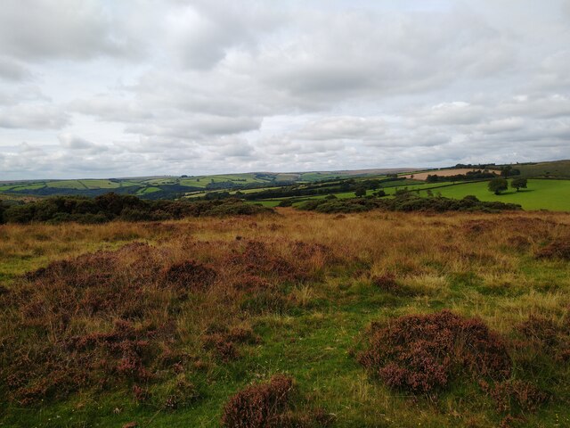
Caratacus Stone is a significant heritage site located in Somerset, England. The stone is an ancient monument dating back to the Roman period and is considered an important archaeological find. It is situated near the village of Carhampton, close to the coast of the Bristol Channel.
The Caratacus Stone is a large, upright standing stone measuring approximately 3 meters in height. It is believed to have been erected during the 1st or 2nd century AD, during the Roman occupation of Britain. The stone is named after Caratacus, a British chieftain who led the resistance against the Roman invasion.
The stone bears a Latin inscription that has been partially eroded over time, making it difficult to decipher. However, it is widely believed that the inscription commemorates a battle or significant event related to the Roman conquest of Britain. The stone is also adorned with decorative carvings, including an image of an eagle, which is a common symbol associated with Roman military might.
The Caratacus Stone is of immense historical and cultural importance, providing valuable insights into the Roman presence in Somerset. It serves as a reminder of the ancient past and the interactions between the Roman invaders and the native Britons. The stone attracts visitors, historians, and archaeologists who are intrigued by its enigmatic inscription and its connection to the Roman conquest. The site is well-maintained and accessible to the public, offering a unique opportunity to explore a tangible piece of Roman history in the heart of Somerset.
If you have any feedback on the listing, please let us know in the comments section below.
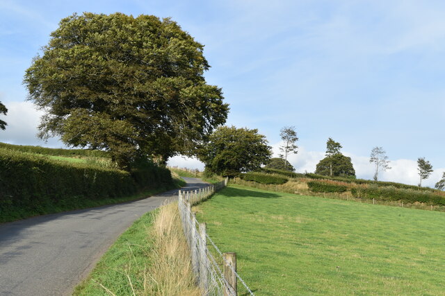
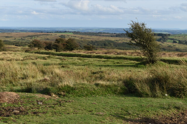
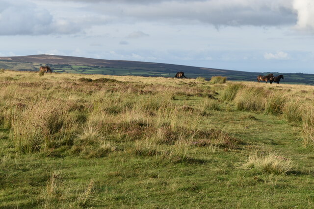
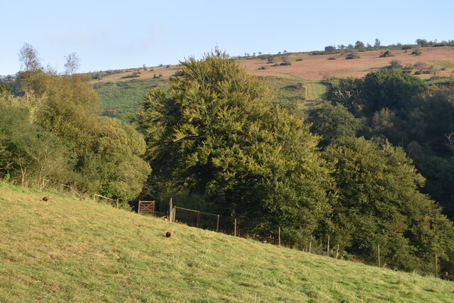
Caratacus Stone Images
Images are sourced within 2km of 51.088/-3.592 or Grid Reference SS8833. Thanks to Geograph Open Source API. All images are credited.


Caratacus Stone is located at Grid Ref: SS8833 (Lat: 51.088, Lng: -3.592)
Administrative County: Somerset
District: Somerset West and Taunton
Police Authority: Avon and Somerset
What 3 Words
///flattered.enrolling.shorter. Near Dulverton, Somerset
Nearby Locations
Related Wikis

Caratacus Stone
The Caratacus Stone, sometimes known as the Caractacus Stone, is an inscribed stone on Exmoor in Somerset, England. It is thought to date from the 6th...

South Exmoor SSSI
South Exmoor (grid reference SS880340) is a 3132.7 hectare (7742.3 acre) biological Site of Special Scientific Interest in Devon and Somerset, England...

Exmoor
Exmoor is loosely defined as an area of hilly open moorland in west Somerset and north Devon in South West England. It is named after the River Exe, the...

Tarr Steps
The Tarr Steps is a clapper bridge across the River Barle in the Exmoor National Park, Somerset, England. They are located in a national nature reserve...
Winsford, Somerset
Winsford is a village and civil parish in Somerset, England, located about 5 miles (8 km) north-west of Dulverton. It is within the borders of the Exmoor...

Garratts Wood
Garratts Wood is a woodland in Somerset, England, near the village of Winsford. It covers a total area of 1.11 hectares (2.74 acres). It is owned and managed...

Ashwick House, Dulverton
not to be confused with the 17th century Ashwick Court in eastern Somerset.Ashwick House is an Edwardian mansion in Ashwick, four miles northwest of Dulverton...
Brewer's Castle
Brewer's Castle is a defended Iron Age settlement in the West Somerset district of Somerset, England. The hill fort is situated approximately 2 miles...
Nearby Amenities
Located within 500m of 51.088,-3.592Have you been to Caratacus Stone?
Leave your review of Caratacus Stone below (or comments, questions and feedback).