Car Dyke
Heritage Site in Cambridgeshire South Cambridgeshire
England
Car Dyke

Car Dyke is an ancient man-made waterway located in Cambridgeshire, England. It is considered a significant heritage site due to its historical and archaeological importance. Spanning over 70 miles, Car Dyke was constructed during the Roman period, possibly around the 1st century AD, and is believed to have served as a drainage channel, transport route, and defensive fortification.
The waterway was engineered with a unique design, featuring a flat-bottomed channel with sloping sides and an average width of 50 feet. It is believed to have connected the rivers Witham and Cam, forming part of the larger Fens water management system. Car Dyke also intersected several other Roman roads, including Ermine Street, which further highlights its strategic significance.
Today, Car Dyke remains visible as an earthwork in various locations throughout Cambridgeshire, although it has suffered from natural decay and human interference over time. Its historical importance has led to efforts to preserve and protect the site. In some areas, the waterway has been incorporated into modern drainage systems, while in others, it serves as a local landmark and recreational feature.
Car Dyke provides valuable insights into the engineering capabilities and agricultural practices of the Roman Empire. It also offers a glimpse into the region's historical landscape and the significant role played by water management in the development of the Fens. As a heritage site, Car Dyke attracts historians, archaeologists, and visitors interested in exploring ancient Roman infrastructure and the cultural heritage of Cambridgeshire.
If you have any feedback on the listing, please let us know in the comments section below.
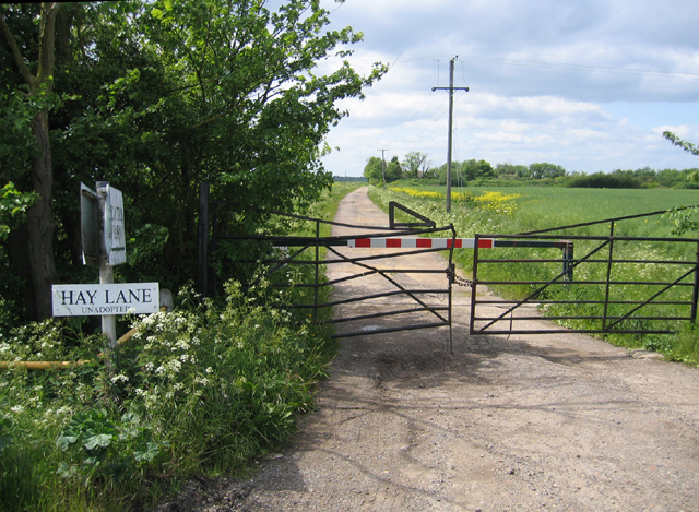
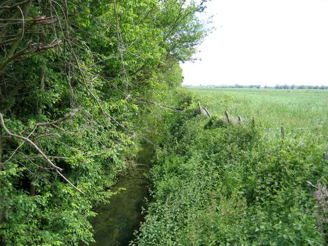
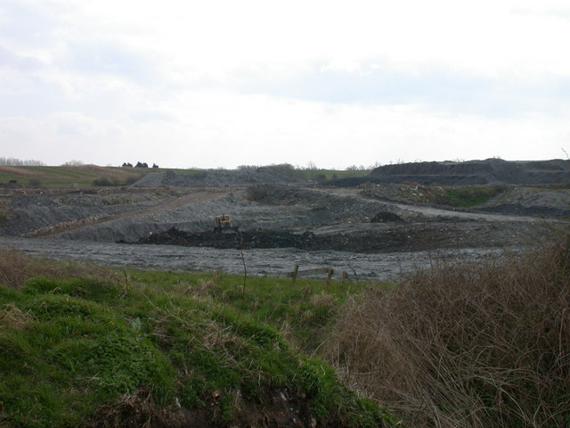
Car Dyke Images
Images are sourced within 2km of 52.285/0.163 or Grid Reference TL4767. Thanks to Geograph Open Source API. All images are credited.


Car Dyke is located at Grid Ref: TL4767 (Lat: 52.285, Lng: 0.163)
Administrative County: Cambridgeshire
District: South Cambridgeshire
Police Authority: Cambridgeshire
What 3 Words
///shave.varieties.musically. Near Cottenham, Cambridgeshire
Related Wikis

Fen Edge
Fen Edge is an area and collection of villages in the South Cambridgeshire district of Cambridgeshire, England. The five villages in Fen Edge are Cottenham...
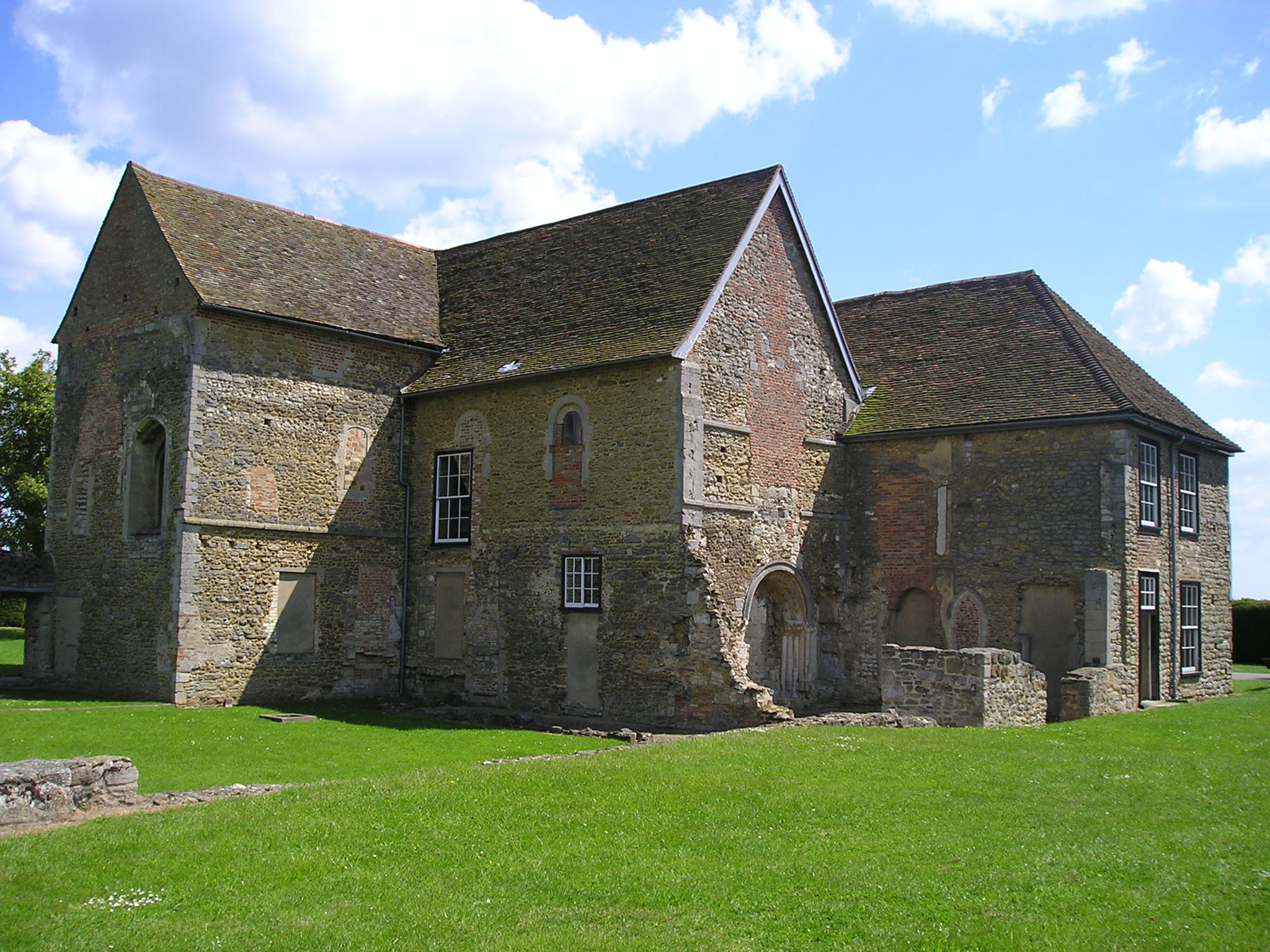
Denny Abbey
Denny Abbey is a former abbey near Waterbeach, about 6 miles (10 km) north of Cambridge in Cambridgeshire, England. It is now the Farmland Museum and Denny...
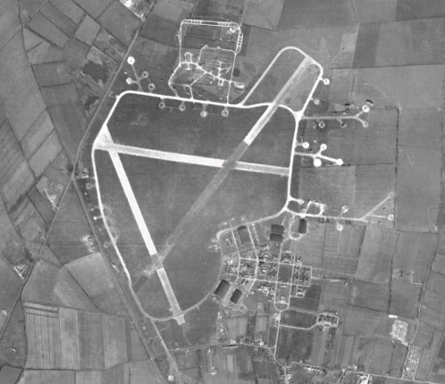
RAF Waterbeach
Royal Air Force Waterbeach or more simply RAF Waterbeach is a former Royal Air Force station located in Waterbeach, Cambridgeshire which is about 5.5 miles...

Waterbeach Barracks
Waterbeach Barracks is a former military installation in Waterbeach, Cambridgeshire. The site was an RAF Station, RAF Waterbeach and then used by the Royal...
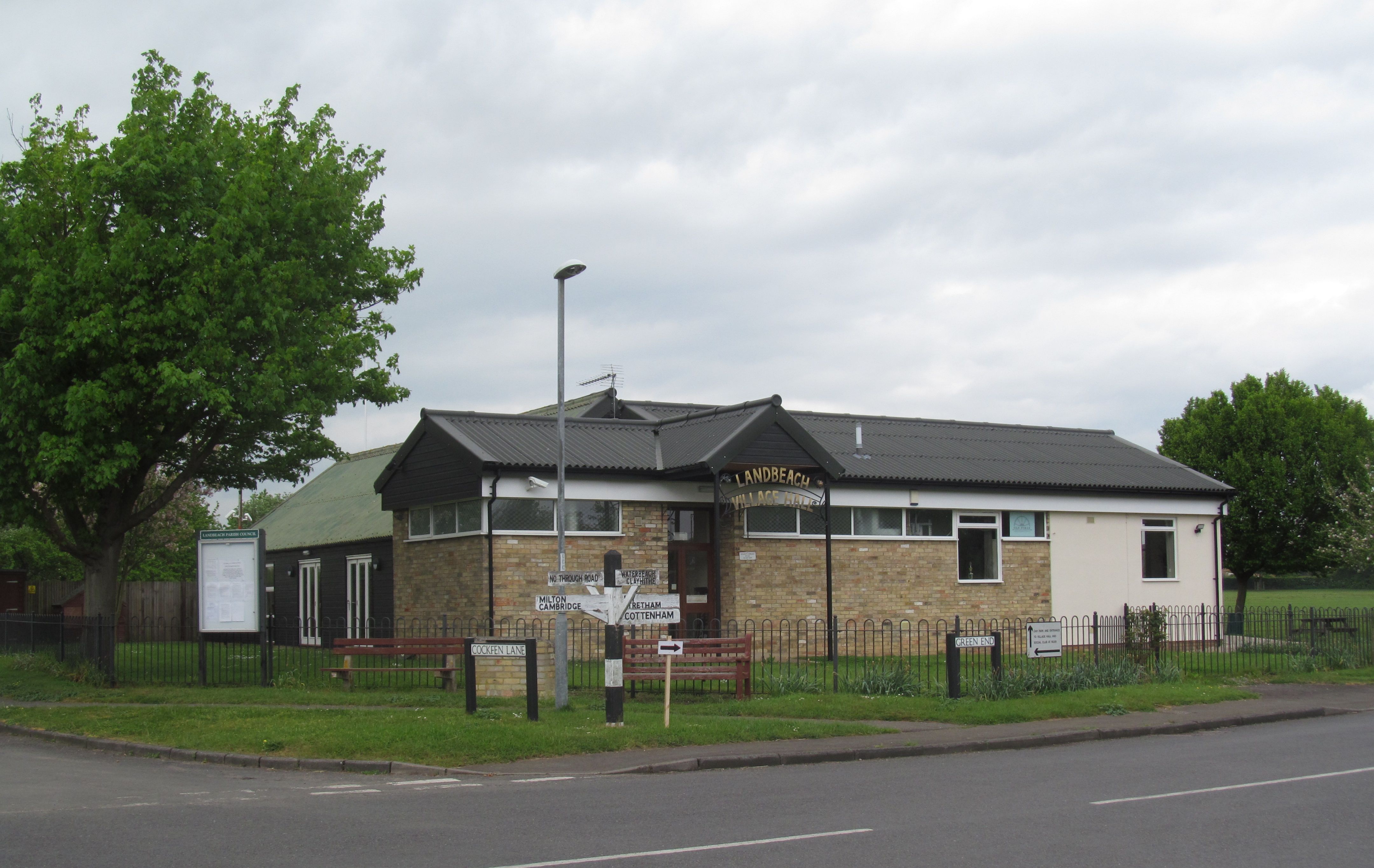
Landbeach
Landbeach is a small fen-edge English village about three miles (5 km) north of Cambridge. The parish covers an area of 9 km2 (3.5 sq mi). == History... ==
Cottenham Village College
Cottenham Village College is an academy school located in Cottenham, Cambridgeshire, England. The school offers secondary education to pupils from the...

Cottenham
Cottenham is a village in Cambridgeshire, England. Cottenham is one of the larger villages surrounding the city of Cambridge, located around five miles...

Waterbeach
Waterbeach is an expanding village 6 miles (9.7 km) north of Cambridge on the edge of The Fens, in the South Cambridgeshire district of Cambridgeshire...
Nearby Amenities
Located within 500m of 52.285,0.163Have you been to Car Dyke?
Leave your review of Car Dyke below (or comments, questions and feedback).