Frith Fen

Downs, Moorland in Cambridgeshire South Cambridgeshire

England

Frith Fen

Denny Abbey the fantastic Norman Door at this fascinating site
Denny Abbey Credit: Terry Butcher

Frith Fen is a picturesque area located in Cambridgeshire, England. It is known for its unique combination of downs and moorland landscapes, creating a diverse and beautiful natural environment. Spanning over several hectares, Frith Fen is a haven for nature enthusiasts and walkers alike.

The downs of Frith Fen are characterized by rolling hills and open grasslands. The area boasts stunning panoramic views, with the landscape stretching as far as the eye can see. Visitors can enjoy leisurely walks along the well-maintained paths, taking in the beauty of the surrounding countryside.

In contrast, the moorland of Frith Fen offers a wilder and more rugged terrain. Here, visitors can explore dense heather and gorse, interspersed with small ponds and marshy areas. The moorland is home to a variety of flora and fauna, including rare bird species and native wildlife.

Frith Fen is also known for its rich history and archaeological significance. The area has been inhabited for centuries, and archaeological finds have revealed evidence of ancient settlements and burial sites. Visitors can explore these historical sites, gaining insights into the lives of the people who once called Frith Fen home.

Overall, Frith Fen in Cambridgeshire is a stunning natural landscape that offers a unique combination of downs and moorland. With its diverse flora and fauna, rich history, and breathtaking views, it is a must-visit destination for nature lovers and those seeking tranquility in the heart of the English countryside.

If you have any feedback on the listing, please let us know in the comments section below.
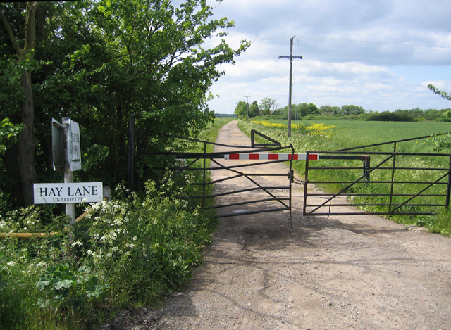
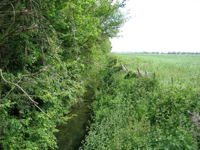
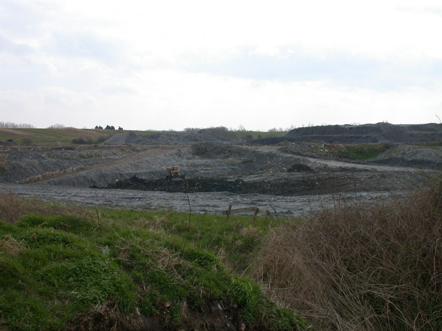
Frith Fen Images

Images are sourced within 2km of 52.28686/0.16570344 or Grid Reference TL4767. Thanks to Geograph Open Source API. All images are credited.

Denny Abbey the fantastic Norman Door at this fascinating site
Denny Abbey
the fantastic Norman Door at this fascinating site
Beach Lode, Landbeach The building is New Farm, the road is Green End, and the ditch is Beach Lode. The road crosses the ditch by the 'sharp bend' sign in the distance. Beach Lode is medieval or earlier and was once used by goods barges.
Beach Lode, Landbeach
The building is New Farm, the road is Green End, and the ditch is Beach Lode. The road crosses the ditch by the 'sharp bend' sign in the distance. Beach Lode is medieval or earlier and was once used by goods barges.
Sign at entrance to Emmaus, Landbeach Emmaus is a charity that helps formerly homeless people to earn a living by repairing and selling donated items. The Cambridge site (actually in Green End, Landbeach, next to the A10) opened in 1992 and was the first Emmaus site in the UK.
Sign at entrance to Emmaus, Landbeach
Emmaus is a charity that helps formerly homeless people to earn a living by repairing and selling donated items. The Cambridge site (actually in Green End, Landbeach, next to the A10) opened in 1992 and was the first Emmaus site in the UK.
Church Lane, Cottenham, Cambs The lane becomes a track away from the village.
Church Lane, Cottenham, Cambs
The lane becomes a track away from the village.
Long Drove, Cottenham, Cambs
Hay Lane, Cottenham, Cambs an unadopted track with locked gates; view from its junction with Beach Road.
Hay Lane, Cottenham, Cambs
an unadopted track with locked gates; view from its junction with Beach Road.
Beach Ditch, between Cottenham and Landbeach, Cambs The parish boundaries in the fens were mostly fixed only in the 13th century; intercommonable pastures between Cottenham and Landbeach were divided in 1235 when the straight Beach Ditch was dug.
Beach Ditch, between Cottenham and Landbeach, Cambs
The parish boundaries in the fens were mostly fixed only in the 13th century; intercommonable pastures between Cottenham and Landbeach were divided in 1235 when the straight Beach Ditch was dug.
Green End Cow Pastures Looking north-west from a minor road near Cottenham
Green End Cow Pastures
Looking north-west from a minor road near Cottenham
Frith Fen Drove This is a no through bridleway, terminating at the top of this field.
Frith Fen Drove
This is a no through bridleway, terminating at the top of this field.
Frith Fen Unusually for the fenland area, this is an uncultivated grassy meadow, crossed by a bridleway which leads to Cambridge Research Park.
Frith Fen
Unusually for the fenland area, this is an uncultivated grassy meadow, crossed by a bridleway which leads to Cambridge Research Park.
Cambridge Research Park Pleasant landscaping within the business park, offsetting the dreary office blocks.
Cambridge Research Park
Pleasant landscaping within the business park, offsetting the dreary office blocks.
Cambridge Waste Management Park Just off the A10 between Cambridge and Ely.
Cambridge Waste Management Park
Just off the A10 between Cambridge and Ely.
Landfill site, Long Drove, Cottenham
New pools for wildlife, Long Drove, Cottenham To replace some flashes that have formed near the landfill site that will be lost as the landfill site spreads.
New pools for wildlife, Long Drove, Cottenham
To replace some flashes that have formed near the landfill site that will be lost as the landfill site spreads.
Car Dyke Watercourse running alongside A10 road
Car Dyke
Watercourse running alongside A10 road
Approach to junction on A10 Approach to minor road leading back to Landbeach, and connecting to Cottenham
Approach to junction on A10
Approach to minor road leading back to Landbeach, and connecting to Cottenham
Milestone beside A10, VI Miles to Cambridge Other faces are less clear, front is LVII (or maybe LVIII) Miles to London, reverse is illegible (probably X) miles to Ely.
Milestone beside A10, VI Miles to Cambridge
Other faces are less clear, front is LVII (or maybe LVIII) Miles to London, reverse is illegible (probably X) miles to Ely.
Flint House, Ely Road (A10), Waterbeach
Show me another place!

Frith Fen is located at Grid Ref: TL4767 (Lat: 52.28686, Lng: 0.16570344)

Administrative County: Cambridgeshire

District: South Cambridgeshire

Police Authority: Cambridgeshire

What 3 Words

///decency.belt.lousy. Near Waterbeach, Cambridgeshire

Nearby Locations

Frith Fen Car Dyke

Related Wikis

Fen Edge

Fen Edge is an area and collection of villages in the South Cambridgeshire district of Cambridgeshire, England. The five villages in Fen Edge are Cottenham...
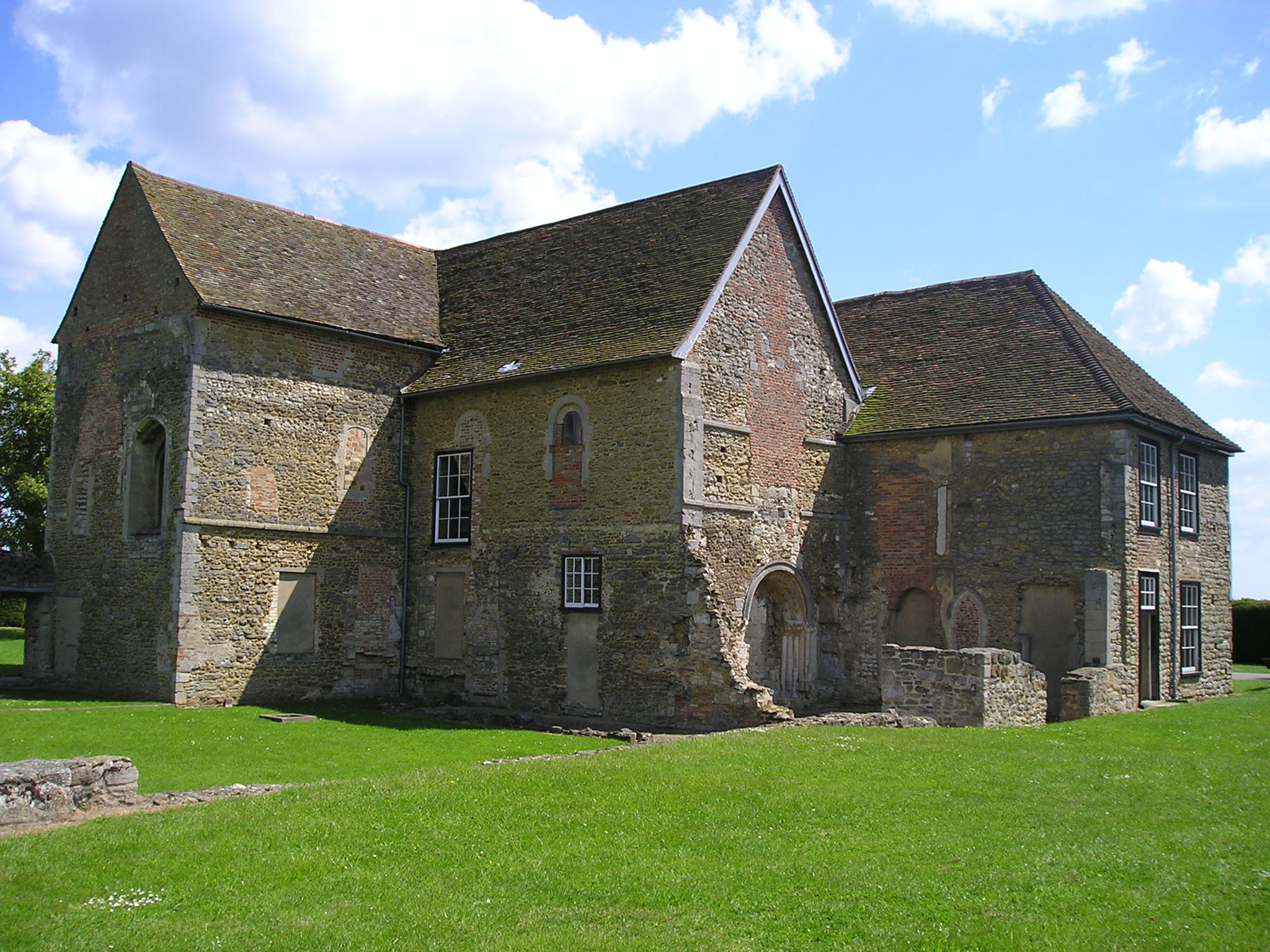
Denny Abbey

Denny Abbey is a former abbey near Waterbeach, about 6 miles (10 km) north of Cambridge in Cambridgeshire, England. It is now the Farmland Museum and Denny...
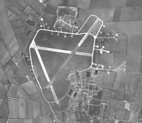
RAF Waterbeach

Royal Air Force Waterbeach or more simply RAF Waterbeach is a former Royal Air Force station located in Waterbeach, Cambridgeshire which is about 5.5 miles...

Waterbeach Barracks

Waterbeach Barracks was a military installation in Waterbeach, Cambridgeshire. The site was an RAF Station, RAF Waterbeach and then used by the Royal Engineers...

Nearby Amenities

Located within 500m of 52.28686,0.16570344
IQ Cambridge business park
Landuse: commercial
Lat/Long: 52.2891785/0.1690183
Frith Fen
Source Name: OS_Streetview
Lat/Long: 52.2855787/0.1660443
Barrier: kissing_gate
Source: bing
Lat/Long: 52.2901979/0.1657538
Bench
Source: survey
Lat/Long: 52.2877085/0.1626122
Barrier: kissing_gate
Lat/Long: 52.2886801/0.1634697
Site of Romano-British settlement
Access: private
Archaeological Site: settlement
Historic: archaeological_site
Historic Civilization: ancient_roman
Lat/Long: 52.2884348/0.1599928
The data included in this document is from www.openstreetmap.org. The data is made available under ODbL.

Have you been to Frith Fen?

Leave your review of Frith Fen below (or comments, questions and feedback).