Cairn Ley
Heritage Site in Aberdeenshire
Scotland
Cairn Ley

Cairn Ley, located in Aberdeenshire, Scotland, is a prominent heritage site that holds immense historical and archaeological significance. Situated near the village of Rhynie, Cairn Ley is a Neolithic burial monument dating back to around 2500 BCE. It consists of a large circular stone cairn, or mound, surrounded by a ditch and a bank.
The cairn itself stands at an impressive height of 4 meters and has a diameter of approximately 20 meters. It is constructed using various sizes of stones, carefully arranged to create a solid structure. The surrounding ditch is about 2 meters deep and 8 meters wide, while the bank rises to a height of 1 meter.
Excavations at Cairn Ley have revealed the remains of several burial cists, which were stone-lined enclosures used for burying the dead. These cists contained human remains, along with various grave goods such as pottery, flint tools, and animal bones. The presence of these artifacts suggests that Cairn Ley was not only a burial site but also a significant ceremonial and communal gathering place for the Neolithic people.
Cairn Ley is believed to have played a crucial role in the religious and social practices of the Neolithic community, possibly serving as a place for ancestor worship or rituals associated with death and the afterlife. Its strategic location on a hillside also offers stunning views of the surrounding landscape, adding to its overall appeal and historical importance.
Today, Cairn Ley is a protected heritage site, managed by Historic Environment Scotland. Visitors can explore the site and experience the ancient atmosphere, gaining a deeper understanding of Scotland's rich prehistoric past.
If you have any feedback on the listing, please let us know in the comments section below.
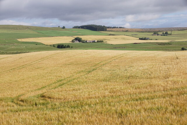
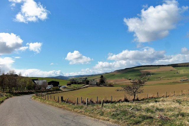
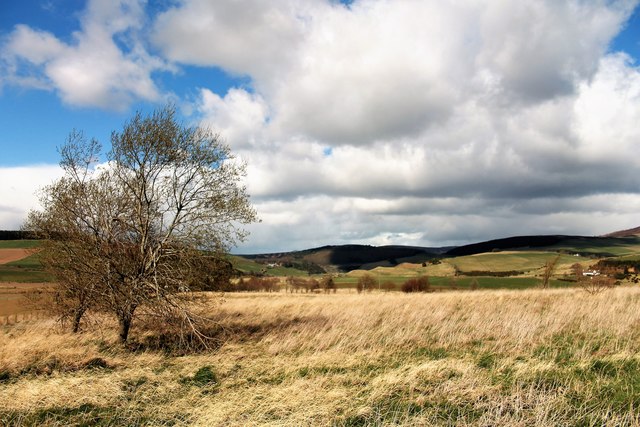
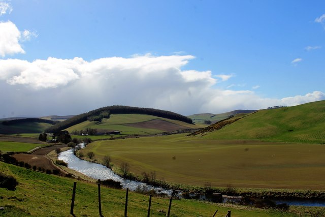
Cairn Ley Images
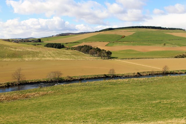
Images are sourced within 2km of 57.218/-2.887 or Grid Reference NJ4614. Thanks to Geograph Open Source API. All images are credited.


Cairn Ley is located at Grid Ref: NJ4614 (Lat: 57.218, Lng: -2.887)
What 3 Words
///refills.husband.user. Near Alford, Aberdeenshire
Nearby Locations
Related Wikis
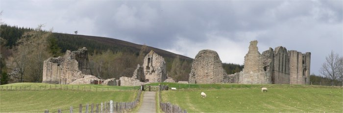
Kildrummy Castle
Kildrummy Castle is a ruined castle near Kildrummy, in Aberdeenshire, Scotland. Though ruined, it is one of the most extensive castles dating from the...

Scottish Sculpture Open
The Scottish Sculpture Open exhibition, sometimes known as the Kildrummy Open, was organised by the Scottish Sculpture Workshop from 1981 to 1997. The...
Towie Castle
Towie Castle was a 17th-century tower house, about 3.5 miles (5.6 km) southwest of Kildrummy in Aberdeenshire, Scotland, on the right bank of the Don....

Kildrummy
Kildrummy (Scottish Gaelic: Cionn Droma) is a hamlet in Aberdeenshire, Scotland near the River Don, 7 miles (11 kilometres) west of Alford. The hamlet...
Nearby Amenities
Located within 500m of 57.218,-2.887Have you been to Cairn Ley?
Leave your review of Cairn Ley below (or comments, questions and feedback).