Cadair Ifan Goch
Heritage Site in Caernarfonshire
Wales
Cadair Ifan Goch
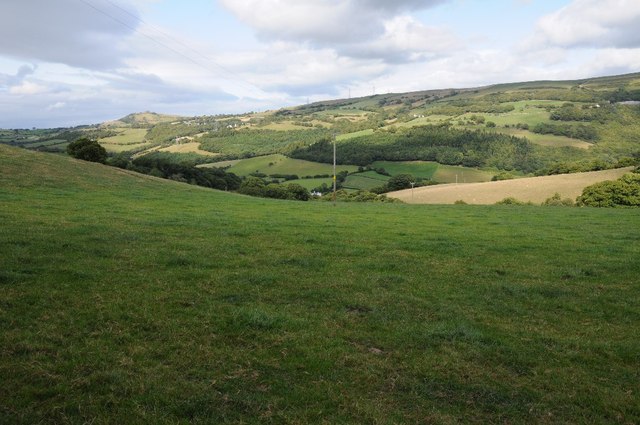
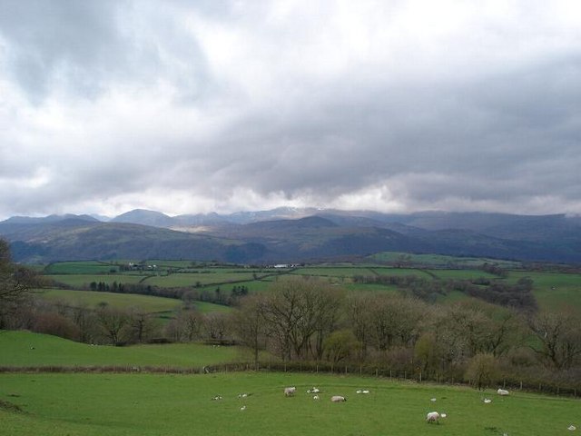
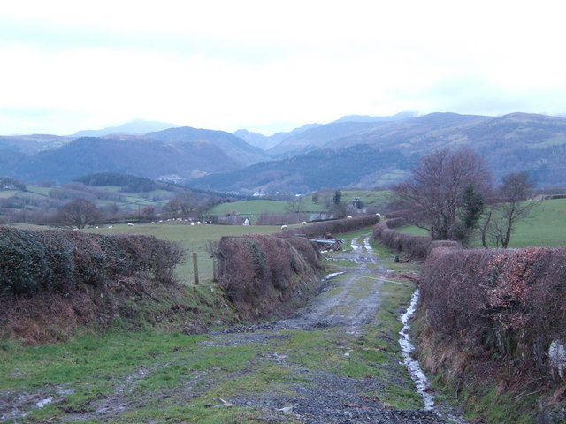
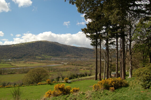
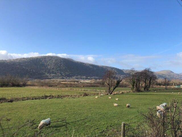
Cadair Ifan Goch, located in Caernarfonshire, Wales, is a significant heritage site known for its historical and cultural importance. Situated within Snowdonia National Park, this prominent peak stands at an elevation of 2,609 feet (795 meters) and offers breathtaking views of the surrounding landscape.
The name "Cadair Ifan Goch" translates to "Chair of Red Ivan" in English, and it refers to a large rock formation resembling a chair that sits atop the summit. This distinctive feature has been a subject of fascination for locals and visitors alike.
The site has a rich history dating back to ancient times, with archaeological evidence suggesting human activity in the area as early as the Neolithic period. Cadair Ifan Goch is believed to have served as an important meeting place and ceremonial site for the local communities.
The mountain is also intertwined with Welsh folklore and mythology. Legend has it that a giant named Ifan Goch used the chair-shaped rock as his throne, adding to the mystical aura surrounding the site.
Today, Cadair Ifan Goch is a popular destination for hikers, climbers, and nature enthusiasts. The mountain offers various trails of different difficulty levels, allowing visitors to explore its rugged terrain and experience its natural beauty up close.
As a designated heritage site, Cadair Ifan Goch is protected by conservation efforts to preserve its cultural and historical significance. It serves as a reminder of Wales' rich heritage and provides visitors with a unique opportunity to connect with the past while immersing themselves in the stunning natural surroundings.
If you have any feedback on the listing, please let us know in the comments section below.
Cadair Ifan Goch Images
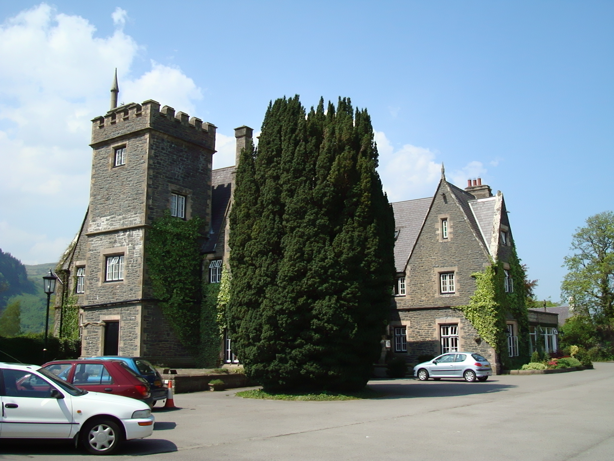
Images are sourced within 2km of 53.185/-3.813 or Grid Reference SH7866. Thanks to Geograph Open Source API. All images are credited.


Cadair Ifan Goch is located at Grid Ref: SH7866 (Lat: 53.185, Lng: -3.813)
Unitary Authority: Conwy
Police Authority: North Wales
What 3 Words
///hourglass.pinches.chatted. Near Llanrwst, Conwy
Nearby Locations
Related Wikis

Cadair Ifan Goch
Cadair Ifan Goch (Chair of Ifan Goch, the Giant) is a crag located above the Conwy Valley in North Wales in the community of Llanddoged and Maenan, and...
Maenan
Maenan is a rural settlement in Conwy, Wales, located approximately 4 miles to the north of Llanrwst and 3 miles to the south of the village of Eglwysbach...

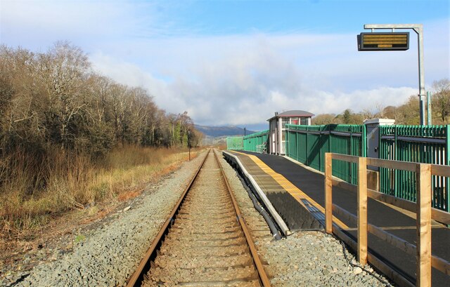
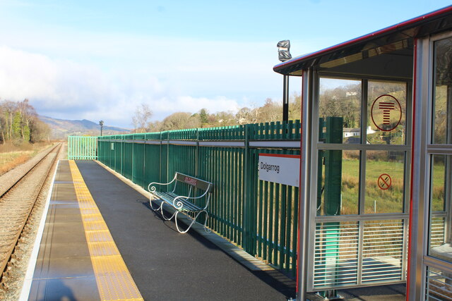
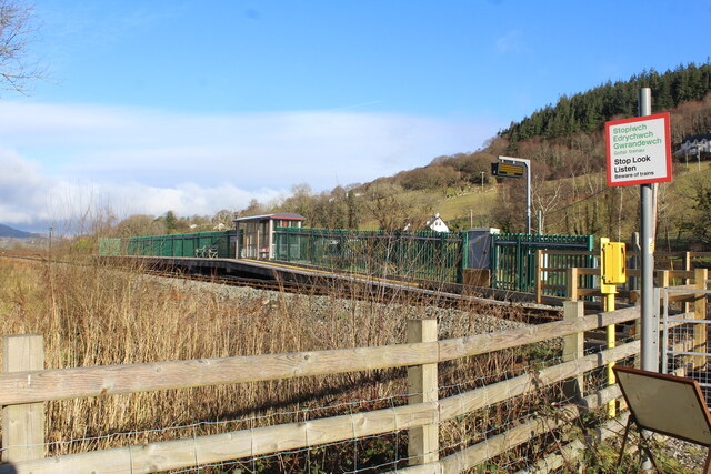
Dolgarrog railway station
Dolgarrog railway station is an unstaffed halt, and a request stop, on the Conwy Valley Line from Llandudno Junction to Blaenau Ffestiniog. The station...

Afon Ddu
Afon Ddu (Welsh for black river) is the name of several rivers in Snowdonia in north-west Wales: The largest of these flows from Llyn Cowlyd on the south...
Coed Dolgarrog National Nature Reserve
Coed Dolgarrog National Nature Reserve is a nature reserve which covers the steep western side of the Conwy Valley, outside the village of Dolgarrog, around...
Cedryn Quarry Tramway
The Cedryn Quarry Tramway (later largely used as the route of the Eigiau Tramway) was an industrial narrow gauge railway that connected the slate quarries...
Maenan Hall
Maenan Hall is a Grade I-listed hall house north west of the village of Llanddoged, Conwy, Wales. This late medieval country mansion has fine decorative...
Adventure Parc Snowdonia
Adventure Parc Snowdonia, formerly Surf Snowdonia was an adventure park and tourist attraction, incorporating an artificial wave pool, at Dolgarrog in...
Nearby Amenities
Located within 500m of 53.185,-3.813Have you been to Cadair Ifan Goch?
Leave your review of Cadair Ifan Goch below (or comments, questions and feedback).