Bury Ditches

Heritage Site in Shropshire

England

Bury Ditches

The path up to Bury Ditches hillfort The excellent wood carving on the tree stump adjacent to the path is great work and is used to help bring the site to life for interested visitors. The figure depicts an Iron Age boy, named Llew, who may have lived here before the Romans came. Him and his dog appear at various points in and around the hillfort.
The path up to Bury Ditches hillfort Credit: Jeremy Bolwell

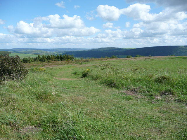
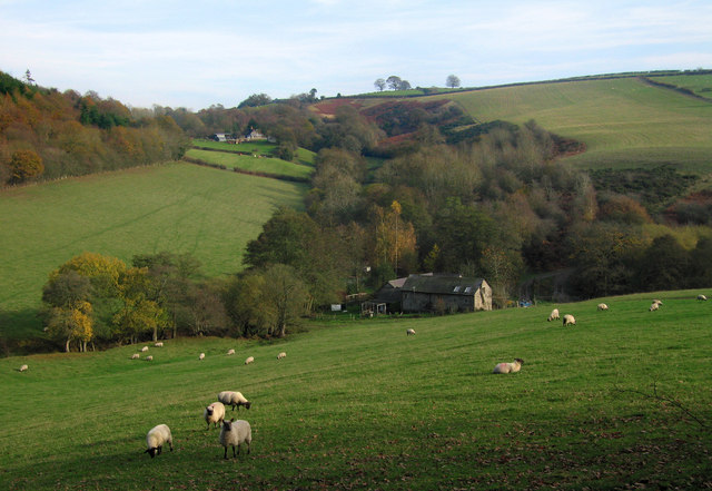
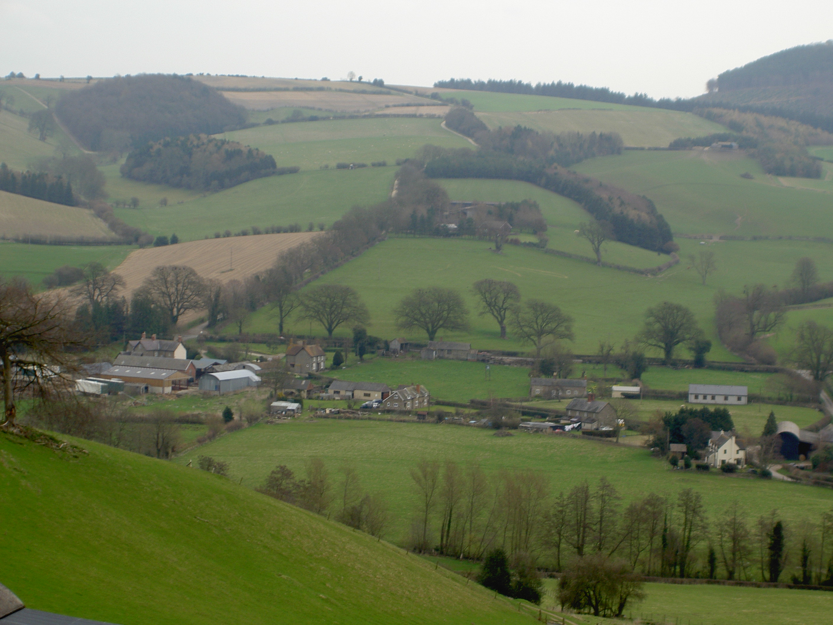
Bury Ditches is an ancient hillfort located in Shropshire, England. Situated on a commanding hilltop position, the site offers breathtaking views of the surrounding countryside. The hillfort is believed to have been built during the late Iron Age, around 500 BC, and was occupied until the Roman conquest of Britain in the 1st century AD.

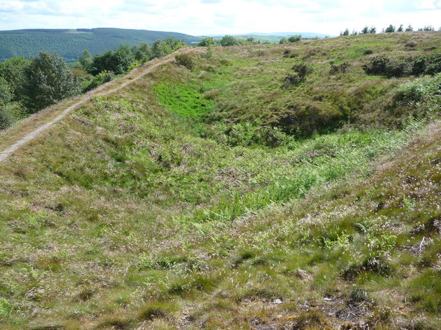
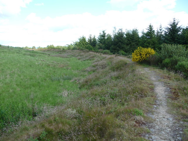
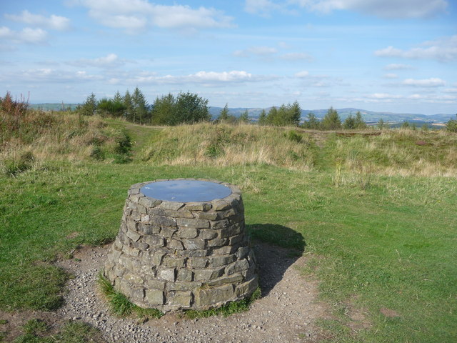
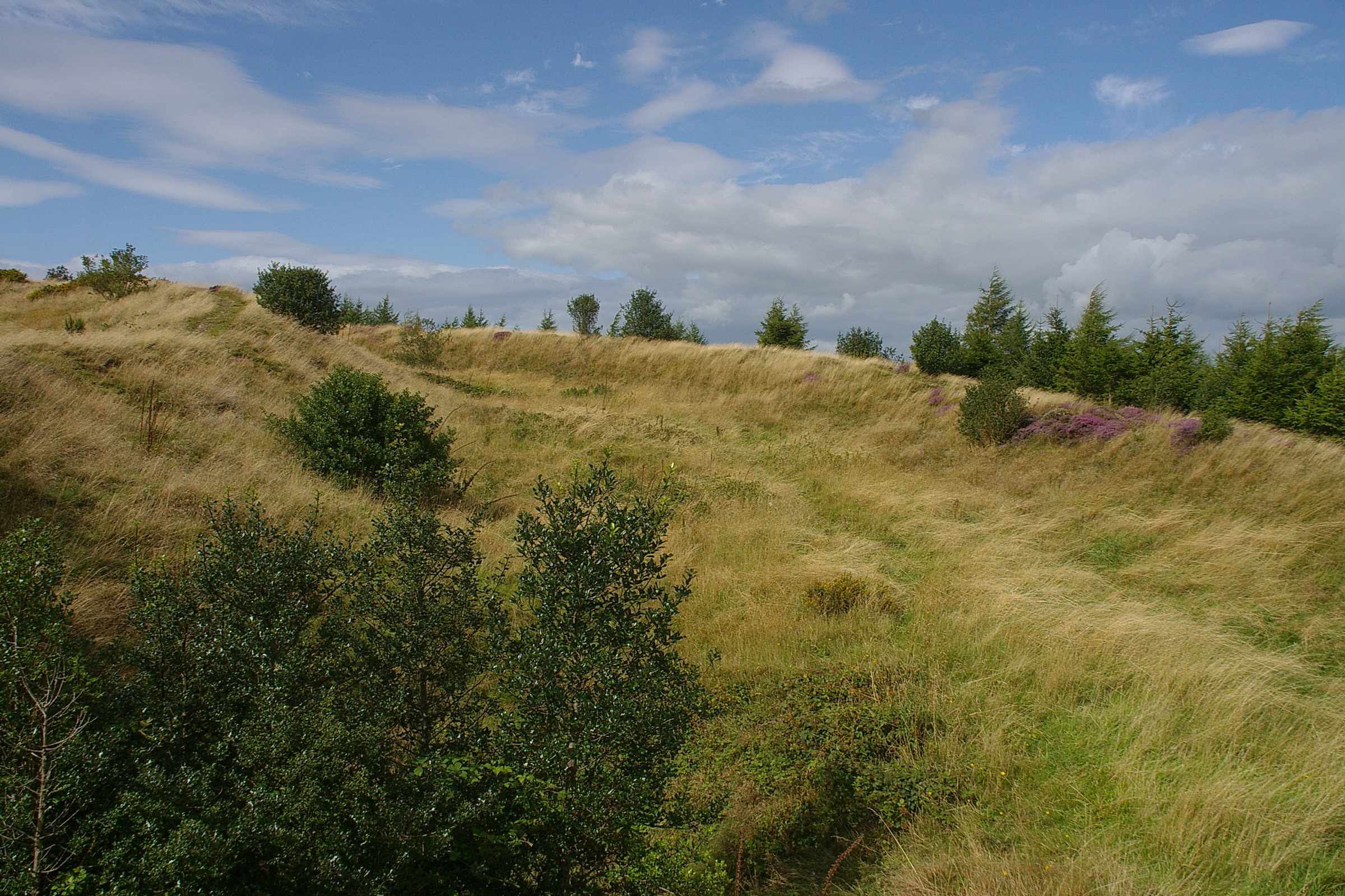
Covering an area of approximately 15 acres, Bury Ditches features an impressive system of ramparts and ditches that enclose the fort. The earthworks are well-preserved and provide valuable insights into the defensive strategies employed by its ancient inhabitants. The inner ramparts are particularly steep and would have acted as a formidable barrier against potential attackers.

Excavations at the site have revealed evidence of roundhouses and other domestic structures, suggesting that Bury Ditches was not only a defensive fortification but also a place of settlement. The discovery of pottery, tools, and animal remains further supports this hypothesis.

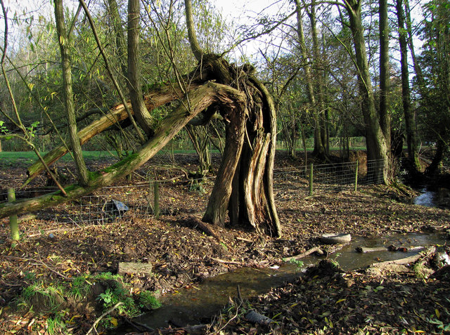
In addition to its archaeological significance, Bury Ditches is also known for its rich biodiversity. The site is home to a variety of plant and animal species, including rare orchids and butterflies. It has been designated as a Site of Special Scientific Interest (SSSI) due to its ecological importance.

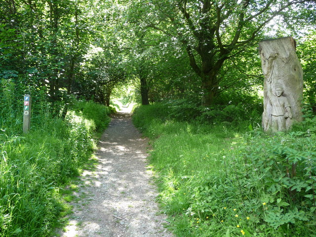
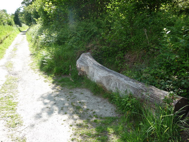
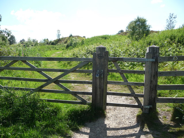
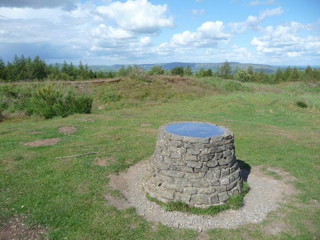
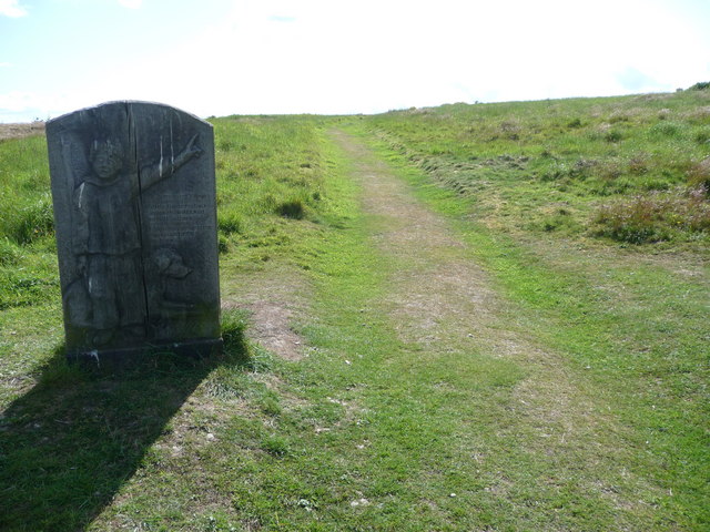
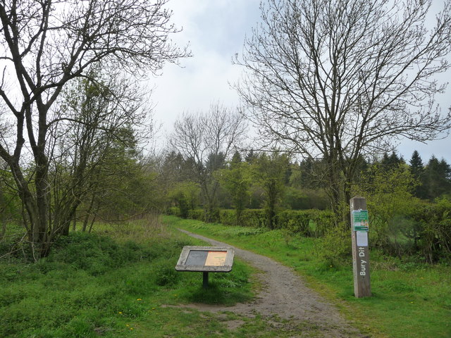
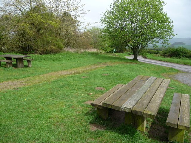
Bury Ditches attracts visitors from all over who come to explore its ancient history and enjoy the stunning natural surroundings. The site offers walking trails, allowing visitors to experience the hillfort's unique atmosphere and gain a deeper understanding of its historical and cultural significance.

If you have any feedback on the listing, please let us know in the comments section below.
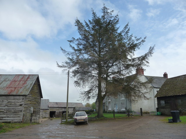
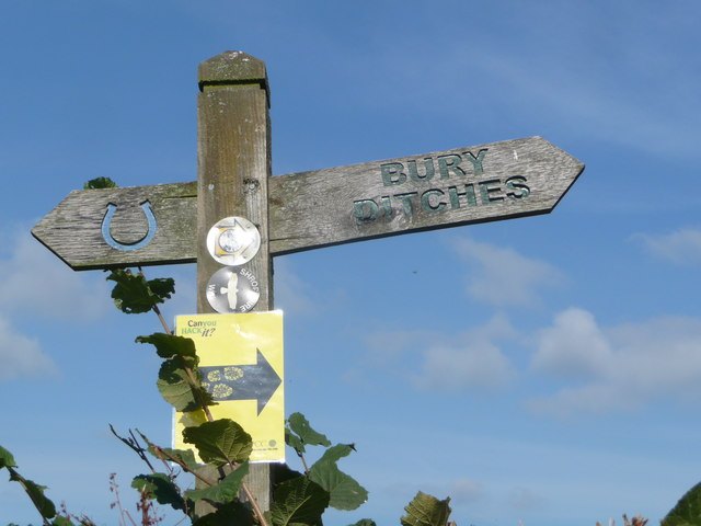
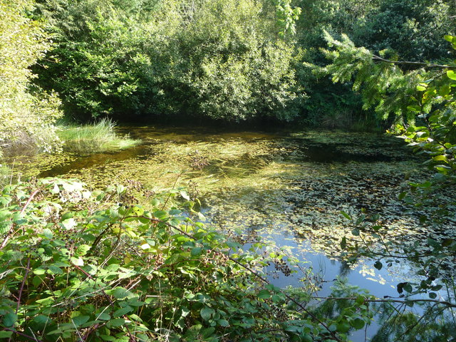
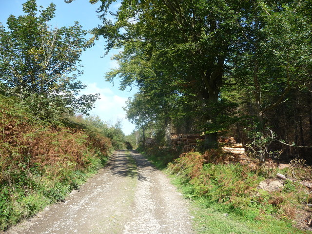
Bury Ditches Images

Images are sourced within 2km of 52.445/-2.993 or Grid Reference SO3283. Thanks to Geograph Open Source API. All images are credited.

The path up to Bury Ditches hillfort The excellent wood carving on the tree stump adjacent to the path is great work and is used to help bring the site to life for interested visitors. The figure depicts an Iron Age boy, named Llew, who may have lived here before the Romans came. Him and his dog appear at various points in and around the hillfort.
The path up to Bury Ditches hillfort
The excellent wood carving on the tree stump adjacent to the path is great work and is used to help bring the site to life for interested visitors. The figure depicts an Iron Age boy, named Llew, who may have lived here before the Romans came. Him and his dog appear at various points in and around the hillfort.
Carved tree trunk beside the path to Bury Ditches hillfort Another excellent interpretive wood carving, depicting figures from the Iron Age in various activities. Ideally sited to provide a rest for walkers ascending the steady gradient up to the hillfort entrance from the nearby car park and picnic site.
Carved tree trunk beside the path to Bury Ditches hillfort
Another excellent interpretive wood carving, depicting figures from the Iron Age in various activities. Ideally sited to provide a rest for walkers ascending the steady gradient up to the hillfort entrance from the nearby car park and picnic site.
Footpath entrance to Bury Ditches hillfort site The gate here enters just below where the entrance to the hillfort is situated, its earthwork banks can be discerned ahead. The Bury Ditches hillfort is well preserved, despite until fairly recently being forested with a plantation, which has since been cleared. The site is of high importance.
Footpath entrance to Bury Ditches hillfort site
The gate here enters just below where the entrance to the hillfort is situated, its earthwork banks can be discerned ahead. The Bury Ditches hillfort is well preserved, despite until fairly recently being forested with a plantation, which has since been cleared. The site is of high importance.
Footpath around the ramparts of Bury Ditches hillfort The ramparts crowning the site carry a path enabling you to walk completely around the site, enabling interested visitors to appreciate the size of the interior, the height of the banks, condition of the surviving defences and of course the huge views over most of Shropshire. On a summer day it is one of the very best places to be in the whole county, in my humble opinion.
Footpath around the ramparts of Bury Ditches hillfort
The ramparts crowning the site carry a path enabling you to walk completely around the site, enabling interested visitors to appreciate the size of the interior, the height of the banks, condition of the surviving defences and of course the huge views over most of Shropshire. On a summer day it is one of the very best places to be in the whole county, in my humble opinion.
Path around Bury Ditches hillfort ramparts The O/S map still shows Bury Ditches as an afforested plantation, but the hillfort site has been clear felled and allowed to return to grassland and heather moor, although the plantation abuts it.
Path around Bury Ditches hillfort ramparts
The O/S map still shows Bury Ditches as an afforested plantation, but the hillfort site has been clear felled and allowed to return to grassland and heather moor, although the plantation abuts it.
Part of Bury Ditches hillfort A family enjoy the interpretative information at the site and explore the ramparts near the entrance. The view beyond eastwards covers large expanses of the county.
Part of Bury Ditches hillfort
A family enjoy the interpretative information at the site and explore the ramparts near the entrance. The view beyond eastwards covers large expanses of the county.
Toposcope on the summit of Sunnyhill Sunnyhill is crowned with Bury Ditches hillfort and in turn the hillfort is crowned with a small toposcope which indicates all the surrounding and distant hills and mountains. From here many of the high points within Shropshire can be seen, such as Caer Caradoc and Ratlinghope Hillforts or Caynham Camp and sites in adjacent counties such as Corndon Hill and Radnor Forest.
Toposcope on the summit of Sunnyhill
Sunnyhill is crowned with Bury Ditches hillfort and in turn the hillfort is crowned with a small toposcope which indicates all the surrounding and distant hills and mountains. From here many of the high points within Shropshire can be seen, such as Caer Caradoc and Ratlinghope Hillforts or Caynham Camp and sites in adjacent counties such as Corndon Hill and Radnor Forest.
Interpretation information at Bury Ditches hillfort Llew, the representation of an Iron Age boy, welcomes visitors to the hillfort site, helpfully showing where the best views are to be seen. His faithful hound sits patiently by his side. He lived in a wonderful spot, in summer at least.
Interpretation information at Bury Ditches hillfort
Llew, the representation of an Iron Age boy, welcomes visitors to the hillfort site, helpfully showing where the best views are to be seen. His faithful hound sits patiently by his side. He lived in a wonderful spot, in summer at least.
Old tree near Clunton
Farmland below Sunnyhill
Path to Bury Ditches A lovely easy access walk in to the hillfort crowning Sunnyhill.
Path to Bury Ditches
A lovely easy access walk in to the hillfort crowning Sunnyhill.
Picnic tables at Bury Ditches car park Ready for use.
Picnic tables at Bury Ditches car park
Ready for use.
Lower Down farmhouse A typical Shropshire farmhouse.
Lower Down farmhouse
A typical Shropshire farmhouse.
Waymarker fingerpost below Bury Ditches near Clun Both the Jack Mytton Way and the Shropshire Way are carried by the footpath here. It is also a designated bridleway. The fingerpost angle gives you an idea of what incline to expect. But worth it.
Waymarker fingerpost below Bury Ditches near Clun
Both the Jack Mytton Way and the Shropshire Way are carried by the footpath here. It is also a designated bridleway. The fingerpost angle gives you an idea of what incline to expect. But worth it.
Pond in woodland below Steppleknoll Secluded woodland pond.
Pond in woodland below Steppleknoll
Secluded woodland pond.
Track below Sunnyhill Woodland operations in progress and logs are stacked beside the track. Lovely pine-y scent.
Track below Sunnyhill
Woodland operations in progress and logs are stacked beside the track. Lovely pine-y scent.
Toposcope on Bury Ditches on Sunnyhill One of the very, very best locations in Shropshire for views.
Toposcope on Bury Ditches on Sunnyhill
One of the very, very best locations in Shropshire for views.
Logging operation on Sunnyhill A wonderful pine scent fills the air here today.
Logging operation on Sunnyhill
A wonderful pine scent fills the air here today.
Show me another place!

Bury Ditches is located at Grid Ref: SO3283 (Lat: 52.445, Lng: -2.993)

Unitary Authority: Shropshire

Police Authority: West Mercia

What 3 Words

///processor.tidal.bandwagon. Near Acton, Shropshire

Related Wikis

Bury Ditches

Bury Ditches is a British Iron Age hill fort between Clun and Bishop's Castle in the Shropshire Hills of central England. == Site == The site is managed...

Acton, Shropshire

Acton is a village in Shropshire, England, south of Bishop's Castle. == External links == Media related to Acton, Shropshire at Wikimedia Commons

Clunton

Clunton is a village in south Shropshire, England, to the east of the small town of Clun. == Location == It lies on the B4368 road between Clun and Craven...

Radnor Wood

Radnor Wood is a small forest east of Clun, Shropshire, in England. It covers an area of 1.5 km2 (0.58 sq mi). It is located on top of a hill which reaches...

1990 Bishop's Castle earthquake

The 1990 Bishop's Castle earthquake occurred near the town of Bishop's Castle, Shropshire, England on 2 April. == Location, date and time == On 2 April...

Coalbrookdale Formation

Coalbrookdale Formation, earlier known as Wenlock Shale or Wenlock Shale Formation and also referred to as Herefordshire Lagerstätte in palaeontology,...

Kempton, Shropshire

Kempton is a very small village in south Shropshire, England. The village was listed as one of William de Picot's holdings in the Domesday Book of 1086...

Lydbury North

Lydbury North ( LID-bree) is a village and a geographically large civil parish in south Shropshire, England. The population of the parish at the 2011 census...

Nearby Amenities

Located within 500m of 52.445,-2.993
Sunny Hill
Ele: 392
Natural: peak
Source: npe
Lat/Long: 52.4480742/-2.9904974
Building: yes
Lat/Long: 52.4421075/-2.9934972
Tourism: viewpoint
Lat/Long: 52.4479446/-2.9906134
The data included in this document is from www.openstreetmap.org. The data is made available under ODbL.

Have you been to Bury Ditches ?

Leave your review of Bury Ditches below (or comments, questions and feedback).