Sunnyhill

Hill, Mountain in Shropshire

England

Sunnyhill

The path up to Bury Ditches hillfort The excellent wood carving on the tree stump adjacent to the path is great work and is used to help bring the site to life for interested visitors. The figure depicts an Iron Age boy, named Llew, who may have lived here before the Romans came. Him and his dog appear at various points in and around the hillfort.
The path up to Bury Ditches hillfort Credit: Jeremy Bolwell

Sunnyhill is a picturesque hill located in the county of Shropshire, England. Situated in the heart of the stunning Shropshire Hills, this prominent landmark offers breathtaking views and is a popular destination for outdoor enthusiasts.

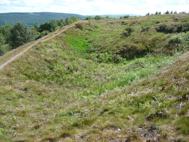
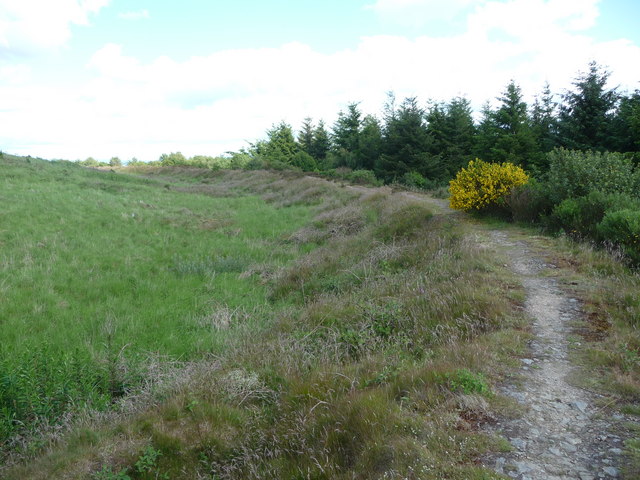
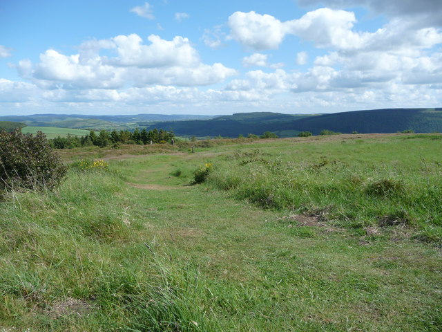
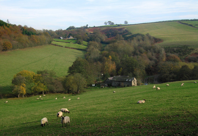
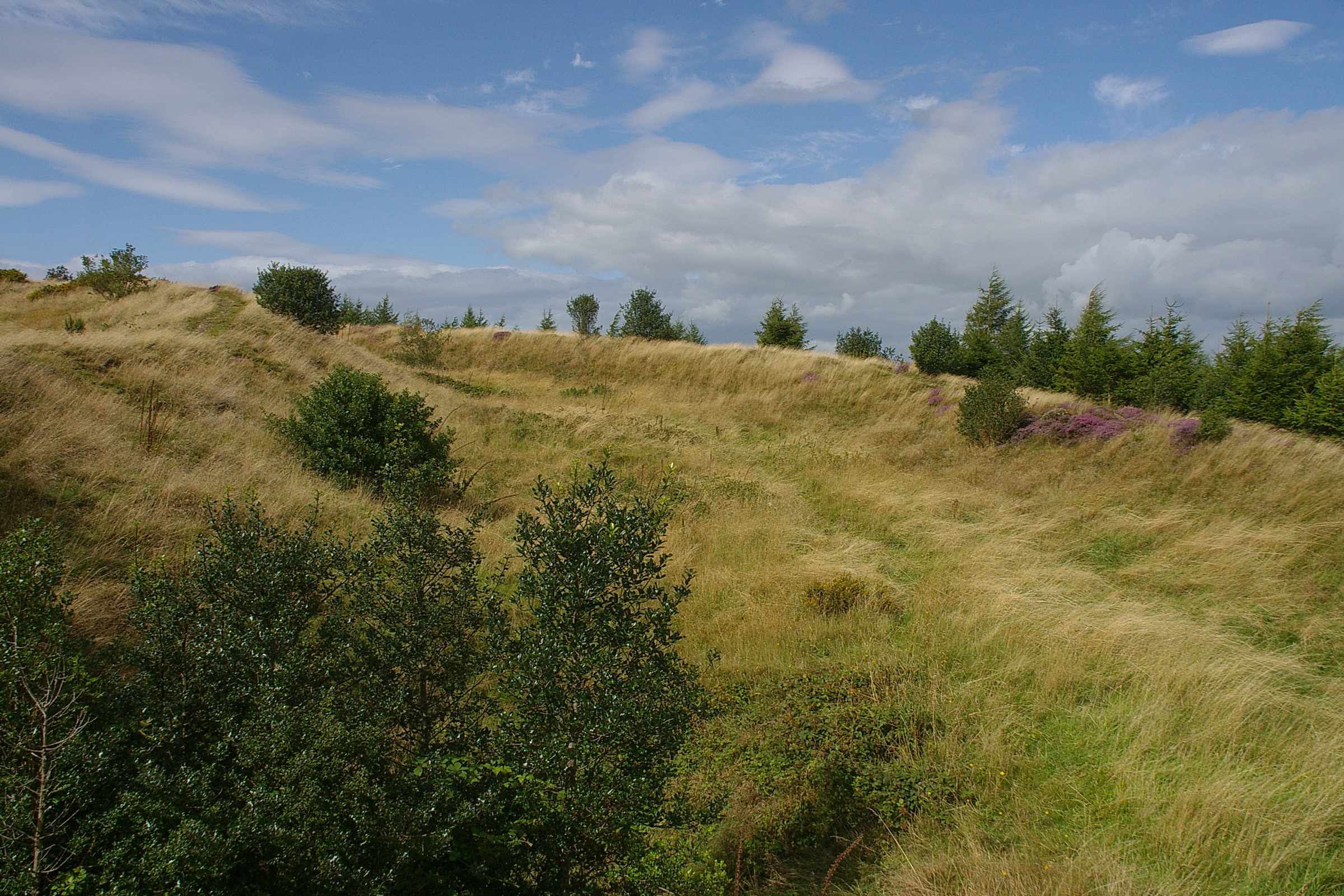
Rising to an elevation of approximately 300 meters, Sunnyhill is known for its gentle slopes and verdant meadows, making it an ideal spot for hiking, picnicking, and enjoying the great outdoors. The hill is adorned with lush greenery, including a variety of native trees and wildflowers, creating a vibrant and captivating landscape.

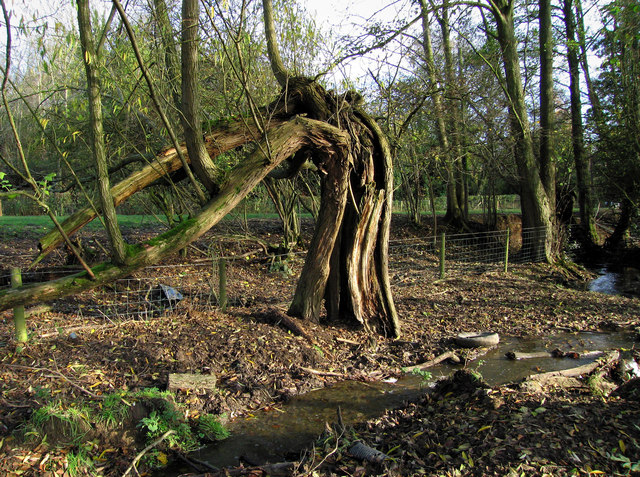
Sunnyhill is home to an array of wildlife, including rabbits, foxes, and a diverse bird population. Birdwatchers will delight in the opportunity to spot species such as red kites, buzzards, and kestrels soaring through the sky above. The hill's natural beauty and diverse ecosystem make it an excellent habitat for a wide range of flora and fauna.

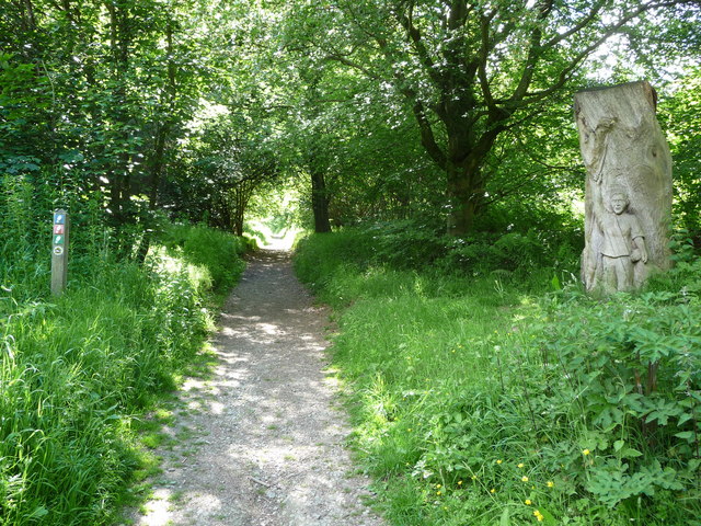
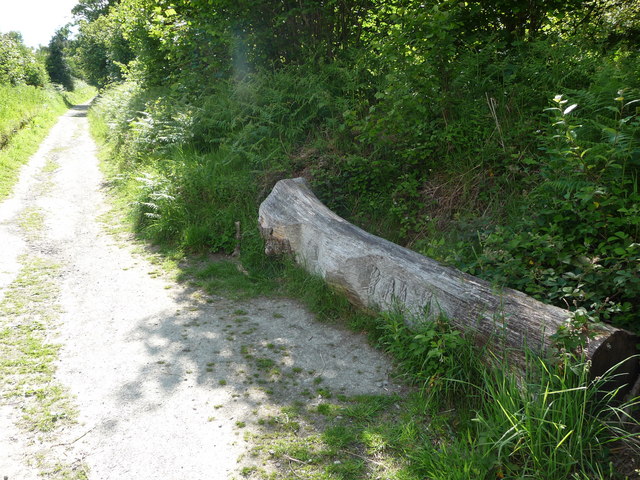
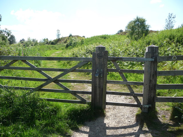
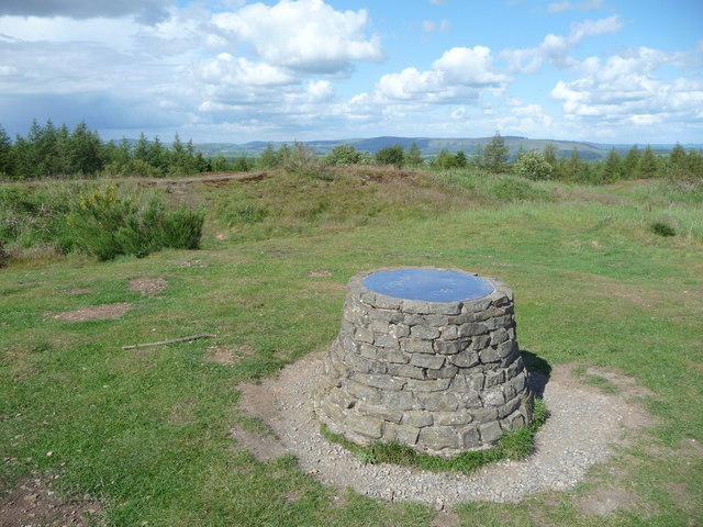
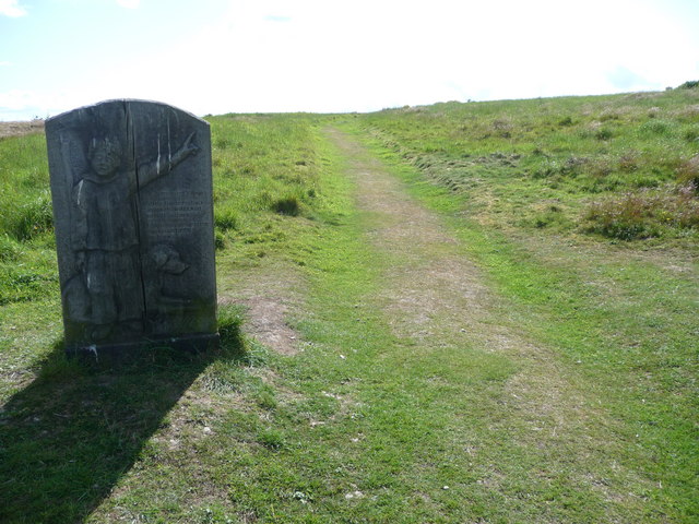
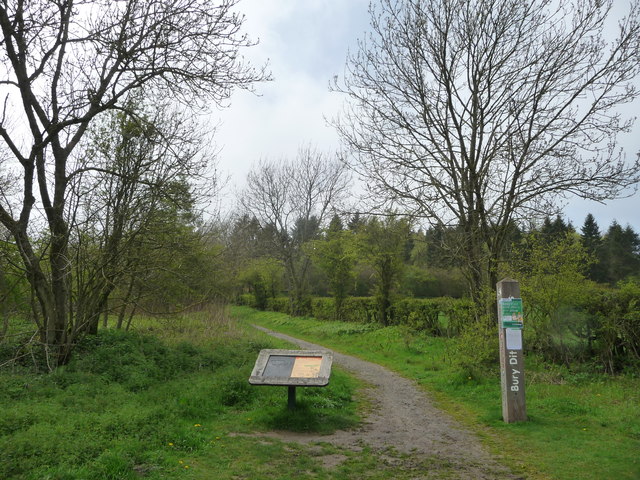
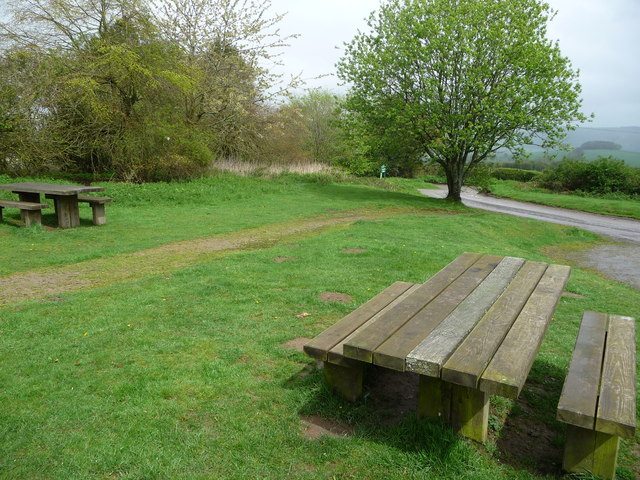
Visitors to Sunnyhill can take advantage of several well-maintained walking trails that wind their way through the hill, offering stunning panoramic views of the surrounding countryside. On a clear day, one can even catch a glimpse of the majestic Welsh mountains in the distance.

The charming village of Shropshire is the nearest settlement to Sunnyhill, providing convenient access to amenities such as accommodation, shopping, and dining options. Additionally, the hill is within driving distance of other notable attractions in the area, including historic castles, charming market towns, and nature reserves.

In summary, Sunnyhill in Shropshire offers a tranquil and picturesque escape for nature lovers and outdoor enthusiasts alike. With its stunning vistas, diverse wildlife, and well-maintained trails, it is a must-visit destination for anyone seeking to immerse themselves in the natural beauty of the Shropshire Hills.

If you have any feedback on the listing, please let us know in the comments section below.
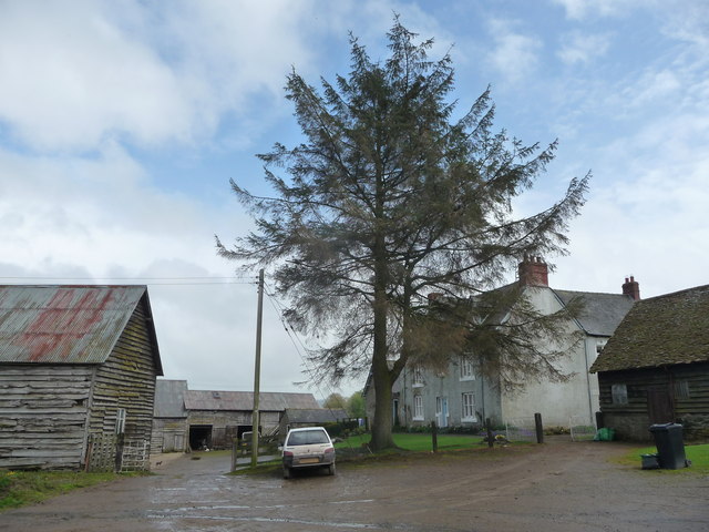
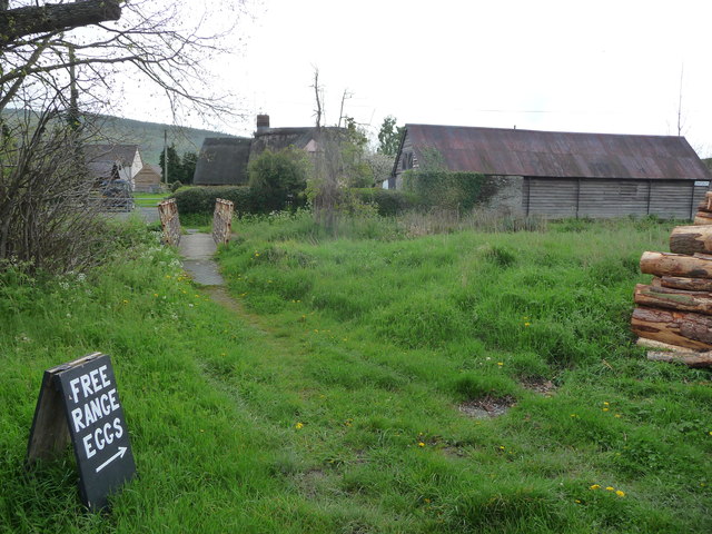
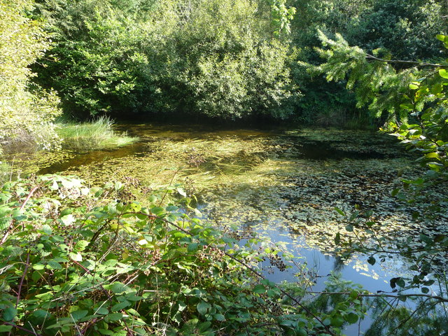
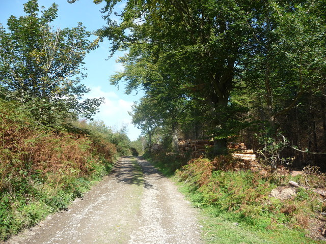
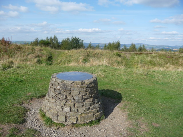
Sunnyhill Images

Images are sourced within 2km of 52.447872/-2.9904884 or Grid Reference SO3283. Thanks to Geograph Open Source API. All images are credited.

The path up to Bury Ditches hillfort The excellent wood carving on the tree stump adjacent to the path is great work and is used to help bring the site to life for interested visitors. The figure depicts an Iron Age boy, named Llew, who may have lived here before the Romans came. Him and his dog appear at various points in and around the hillfort.
The path up to Bury Ditches hillfort
The excellent wood carving on the tree stump adjacent to the path is great work and is used to help bring the site to life for interested visitors. The figure depicts an Iron Age boy, named Llew, who may have lived here before the Romans came. Him and his dog appear at various points in and around the hillfort.
Carved tree trunk beside the path to Bury Ditches hillfort Another excellent interpretive wood carving, depicting figures from the Iron Age in various activities. Ideally sited to provide a rest for walkers ascending the steady gradient up to the hillfort entrance from the nearby car park and picnic site.
Carved tree trunk beside the path to Bury Ditches hillfort
Another excellent interpretive wood carving, depicting figures from the Iron Age in various activities. Ideally sited to provide a rest for walkers ascending the steady gradient up to the hillfort entrance from the nearby car park and picnic site.
Footpath entrance to Bury Ditches hillfort site The gate here enters just below where the entrance to the hillfort is situated, its earthwork banks can be discerned ahead. The Bury Ditches hillfort is well preserved, despite until fairly recently being forested with a plantation, which has since been cleared. The site is of high importance.
Footpath entrance to Bury Ditches hillfort site
The gate here enters just below where the entrance to the hillfort is situated, its earthwork banks can be discerned ahead. The Bury Ditches hillfort is well preserved, despite until fairly recently being forested with a plantation, which has since been cleared. The site is of high importance.
Footpath around the ramparts of Bury Ditches hillfort The ramparts crowning the site carry a path enabling you to walk completely around the site, enabling interested visitors to appreciate the size of the interior, the height of the banks, condition of the surviving defences and of course the huge views over most of Shropshire. On a summer day it is one of the very best places to be in the whole county, in my humble opinion.
Footpath around the ramparts of Bury Ditches hillfort
The ramparts crowning the site carry a path enabling you to walk completely around the site, enabling interested visitors to appreciate the size of the interior, the height of the banks, condition of the surviving defences and of course the huge views over most of Shropshire. On a summer day it is one of the very best places to be in the whole county, in my humble opinion.
Path around Bury Ditches hillfort ramparts The O/S map still shows Bury Ditches as an afforested plantation, but the hillfort site has been clear felled and allowed to return to grassland and heather moor, although the plantation abuts it.
Path around Bury Ditches hillfort ramparts
The O/S map still shows Bury Ditches as an afforested plantation, but the hillfort site has been clear felled and allowed to return to grassland and heather moor, although the plantation abuts it.
Part of Bury Ditches hillfort A family enjoy the interpretative information at the site and explore the ramparts near the entrance. The view beyond eastwards covers large expanses of the county.
Part of Bury Ditches hillfort
A family enjoy the interpretative information at the site and explore the ramparts near the entrance. The view beyond eastwards covers large expanses of the county.
Toposcope on the summit of Sunnyhill Sunnyhill is crowned with Bury Ditches hillfort and in turn the hillfort is crowned with a small toposcope which indicates all the surrounding and distant hills and mountains. From here many of the high points within Shropshire can be seen, such as Caer Caradoc and Ratlinghope Hillforts or Caynham Camp and sites in adjacent counties such as Corndon Hill and Radnor Forest.
Toposcope on the summit of Sunnyhill
Sunnyhill is crowned with Bury Ditches hillfort and in turn the hillfort is crowned with a small toposcope which indicates all the surrounding and distant hills and mountains. From here many of the high points within Shropshire can be seen, such as Caer Caradoc and Ratlinghope Hillforts or Caynham Camp and sites in adjacent counties such as Corndon Hill and Radnor Forest.
Interpretation information at Bury Ditches hillfort Llew, the representation of an Iron Age boy, welcomes visitors to the hillfort site, helpfully showing where the best views are to be seen. His faithful hound sits patiently by his side. He lived in a wonderful spot, in summer at least.
Interpretation information at Bury Ditches hillfort
Llew, the representation of an Iron Age boy, welcomes visitors to the hillfort site, helpfully showing where the best views are to be seen. His faithful hound sits patiently by his side. He lived in a wonderful spot, in summer at least.
Old tree near Clunton
Farmland below Sunnyhill
Path to Bury Ditches A lovely easy access walk in to the hillfort crowning Sunnyhill.
Path to Bury Ditches
A lovely easy access walk in to the hillfort crowning Sunnyhill.
Picnic tables at Bury Ditches car park Ready for use.
Picnic tables at Bury Ditches car park
Ready for use.
Lower Down farmhouse A typical Shropshire farmhouse.
Lower Down farmhouse
A typical Shropshire farmhouse.
Part of Brockton, Shropshire This is typical rural Shropshire. Barns, cottages, a stream and footbridge, a woodpile, a path trodden by locals only.

There are three villages in Shropshire called Brockton. Which just about sums this great county up.
Part of Brockton, Shropshire
This is typical rural Shropshire. Barns, cottages, a stream and footbridge, a woodpile, a path trodden by locals only. There are three villages in Shropshire called Brockton. Which just about sums this great county up.
The Thatch, Brockton A rare-ish thatched cottage survives in Brockton. A thatched cottage, a Landy and a view to the surrounding hills - what more could you wish for?
The Thatch, Brockton
A rare-ish thatched cottage survives in Brockton. A thatched cottage, a Landy and a view to the surrounding hills - what more could you wish for?
Pond in woodland below Steppleknoll Secluded woodland pond.
Pond in woodland below Steppleknoll
Secluded woodland pond.
Track below Sunnyhill Woodland operations in progress and logs are stacked beside the track. Lovely pine-y scent.
Track below Sunnyhill
Woodland operations in progress and logs are stacked beside the track. Lovely pine-y scent.
Toposcope on Bury Ditches on Sunnyhill One of the very, very best locations in Shropshire for views.
Toposcope on Bury Ditches on Sunnyhill
One of the very, very best locations in Shropshire for views.
Show me another place!

Sunnyhill is located at Grid Ref: SO3283 (Lat: 52.447872, Lng: -2.9904884)

Unitary Authority: Shropshire

Police Authority: West Mercia

What 3 Words

///test.inherit.uplifting. Near Acton, Shropshire

Related Wikis

Bury Ditches

Bury Ditches is a British Iron Age hill fort between Clun and Bishop's Castle in the Shropshire Hills of central England. == Site == The site is managed...

Acton, Shropshire

Acton is a village in Shropshire, England, south of Bishop's Castle. == External links == Media related to Acton, Shropshire at Wikimedia Commons

Clunton

Clunton is a village in south Shropshire, England, to the east of the small town of Clun. == Location == It lies on the B4368 road between Clun and Craven...

Radnor Wood

Radnor Wood is a small forest east of Clun, Shropshire, in England. It covers an area of 1.5 km2 (0.58 sq mi). It is located on top of a hill which reaches...

Nearby Amenities

Located within 500m of 52.447872,-2.9904884
Sunny Hill
Ele: 392
Natural: peak
Source: npe
Lat/Long: 52.4480742/-2.9904974
Tourism: viewpoint
Lat/Long: 52.4479446/-2.9906134
The data included in this document is from www.openstreetmap.org. The data is made available under ODbL.

Have you been to Sunnyhill?

Leave your review of Sunnyhill below (or comments, questions and feedback).