Burrow Mump
Heritage Site in Somerset Somerset West and Taunton
England
Burrow Mump

Burrow Mump, located in Somerset, England, is a prominent landmark and heritage site with a rich historical significance. This hill, rising to around 79 feet, stands proudly in the midst of the Somerset Levels and offers breathtaking views of the surrounding countryside.
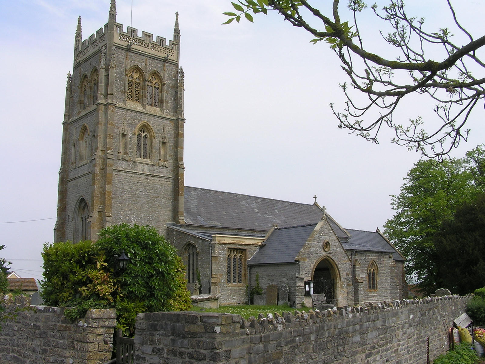
Burrow Mump is believed to have been an ancient Bronze Age burial mound, and later became a Norman motte-and-bailey castle during the medieval era. However, it is most famous for the ruined church that crowns its summit. St. Michael's Church, built in the 15th century, fell into disrepair and was partially dismantled in the 18th century. Today, only the tower remains, creating a striking silhouette against the sky.
The hill has also served as a place of refuge during times of flooding. During the Monmouth Rebellion of 1685, local villagers used Burrow Mump as a stronghold against the government forces. This event has since become an integral part of the site's folklore.
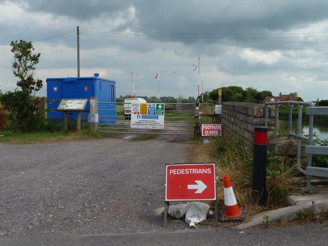
Burrow Mump is a popular destination for hikers and nature enthusiasts, offering beautiful walking trails that wind through the surrounding countryside and along the River Tone. The site is teeming with wildlife, including various bird species, and provides a peaceful retreat for visitors.
Designated as a Scheduled Ancient Monument, Burrow Mump holds great historical and cultural significance. It has become an iconic symbol of the Somerset Levels and attracts both locals and tourists alike, who come to admire its beauty, explore its history, and revel in the tranquility it offers.
If you have any feedback on the listing, please let us know in the comments section below.
Burrow Mump Images
Images are sourced within 2km of 51.07/-2.916 or Grid Reference ST3530. Thanks to Geograph Open Source API. All images are credited.


Burrow Mump is located at Grid Ref: ST3530 (Lat: 51.07, Lng: -2.916)
Administrative County: Somerset
District: Somerset West and Taunton
Police Authority: Avon and Somerset
What 3 Words
///horseshoe.chimp.identify. Near Westonzoyland, Somerset
Nearby Locations
Related Wikis

Burrowbridge
Burrowbridge is a village and civil parish in Somerset, England, situated on the River Parrett and the A361 road on the edge of the Somerset Levels. It...
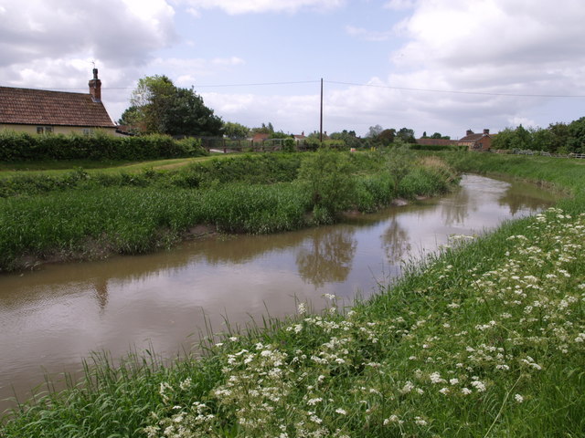
River Tone
The River Tone is a river in the English county of Somerset. The river is about 33 kilometres (21 mi) long. Its source is at Beverton Pond near Huish Champflower...

Burrow Mump
Burrow Mump is a hill and historic site overlooking Southlake Moor in the village of Burrowbridge within the English county of Somerset. It is a scheduled...

Southlake Moor
Southlake Moor (grid reference ST370300) is a 196.1 hectare (484.6 acre) biological Site of Special Scientific Interest near Burrow Mump and Burrowbridge...
Athelney Abbey
Athelney Abbey, established in the county of Somerset, England, was founded by King Alfred in 888, as a religious house for monks of the Order of St....

Athelney
Athelney is a village located between the villages of Burrowbridge and East Lyng in the Sedgemoor district of Somerset, England. The name is believed to...

Balt Moor Wall
Balt Moor Wall is an earthwork and listed scheduled ancient monument in Lyng, Somerset, England, situated on the Somerset Levels to the northwest of the...
Middlezoy
Middlezoy is a village and civil parish on the Somerset Levels in Somerset, England. Situated between the two other villages of Westonzoyland and Othery...
Nearby Amenities
Located within 500m of 51.07,-2.916Have you been to Burrow Mump?
Leave your review of Burrow Mump below (or comments, questions and feedback).