Brockhampton Estate
Heritage Site in Herefordshire
England
Brockhampton Estate
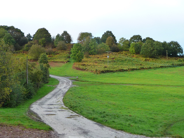
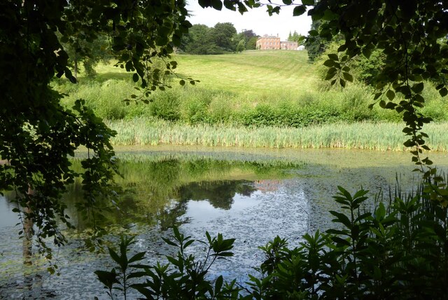
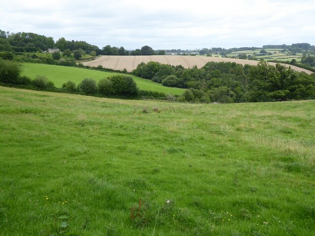
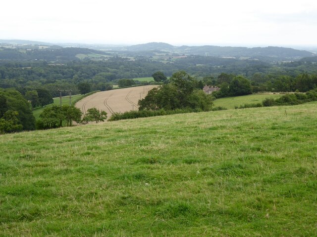
Brockhampton Estate, located in the picturesque county of Herefordshire, is a renowned heritage site that offers visitors a glimpse into the rich history and natural beauty of the area. This National Trust property is set amidst stunning countryside, encompassing over 1,700 acres of rolling hills, ancient woodlands, and tranquil meadows.
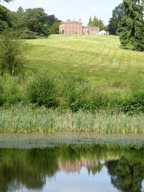
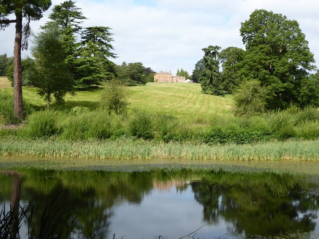
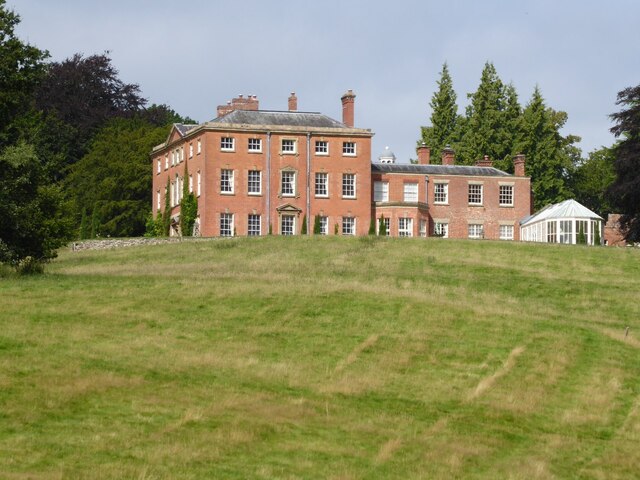
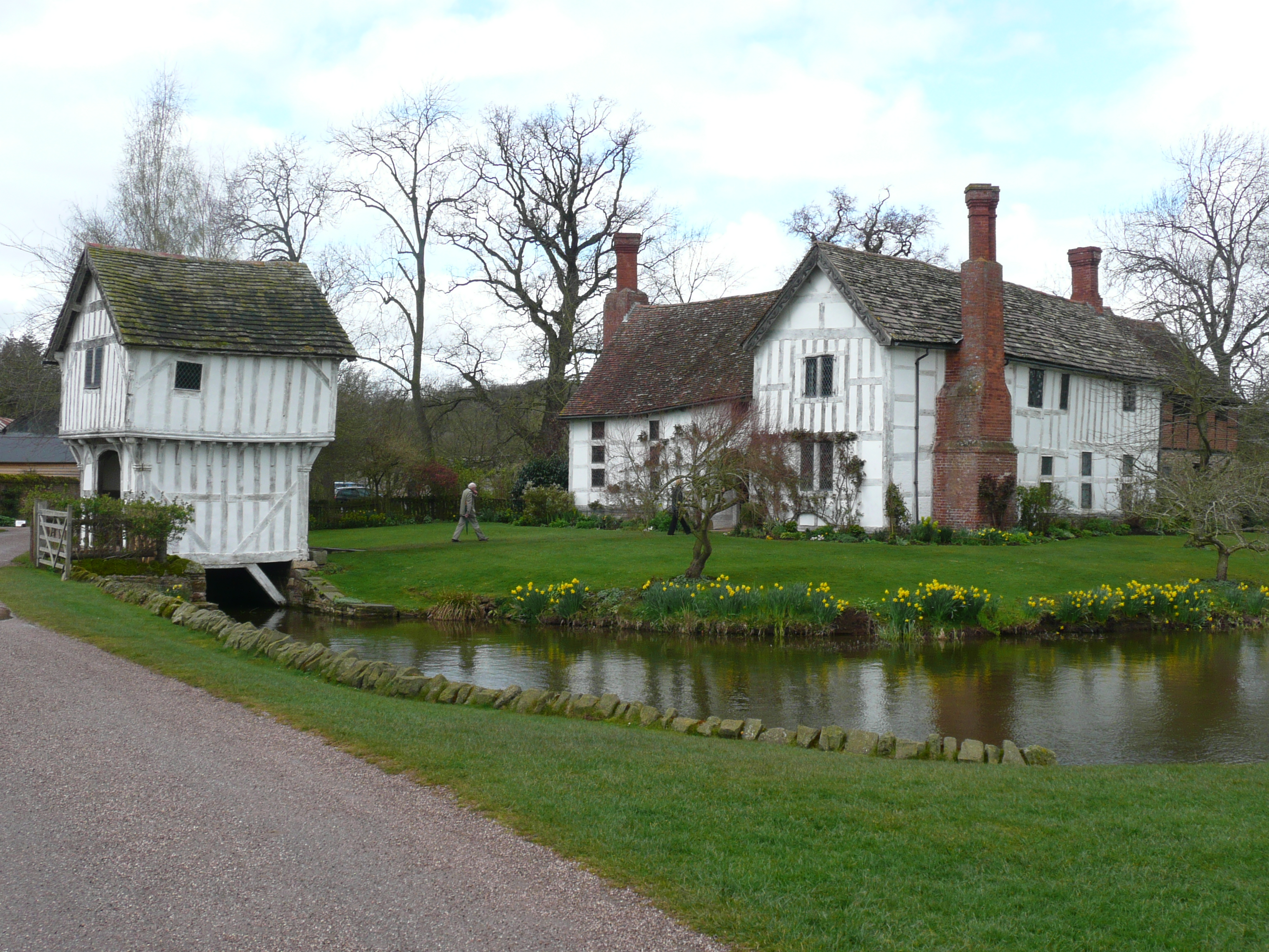
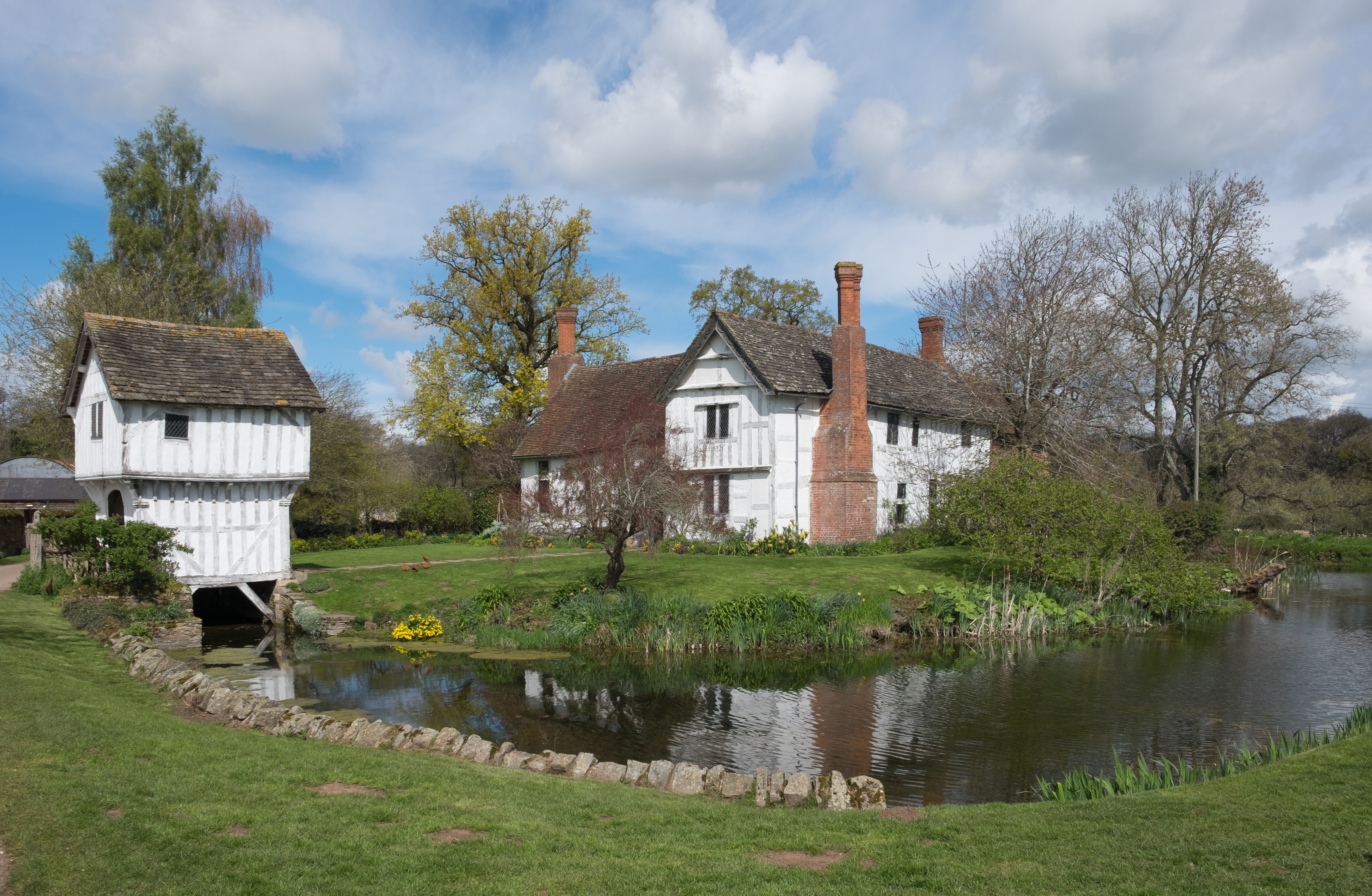
At the heart of the estate lies the impressive Brockhampton Manor House, a timber-framed building dating back to the 14th century. This stunning example of medieval architecture is a true gem, with its intricate carvings, ornate ceilings, and charming period furnishings. Visitors can explore the house and learn about its fascinating history through informative displays and guided tours.
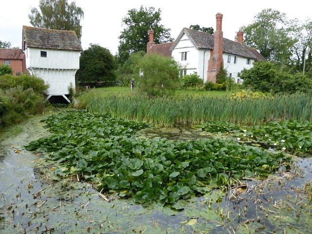
Surrounding the manor house are meticulously maintained gardens, offering a delightful mix of formal and informal landscapes. From the vibrant colors of the flower borders to the tranquility of the moat, the gardens provide a serene backdrop for a leisurely stroll or a peaceful picnic.
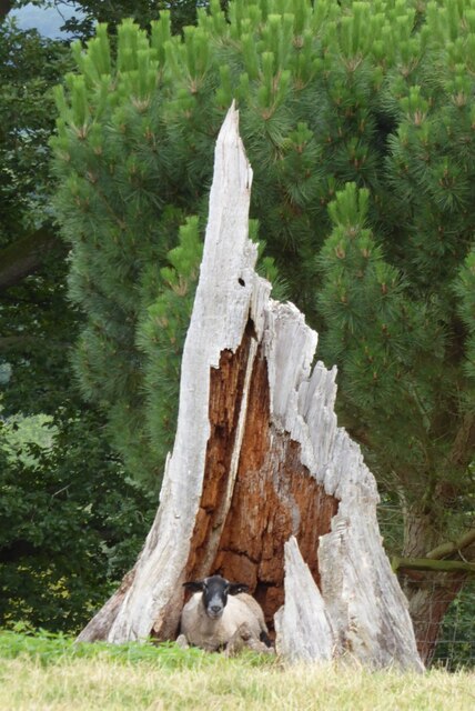
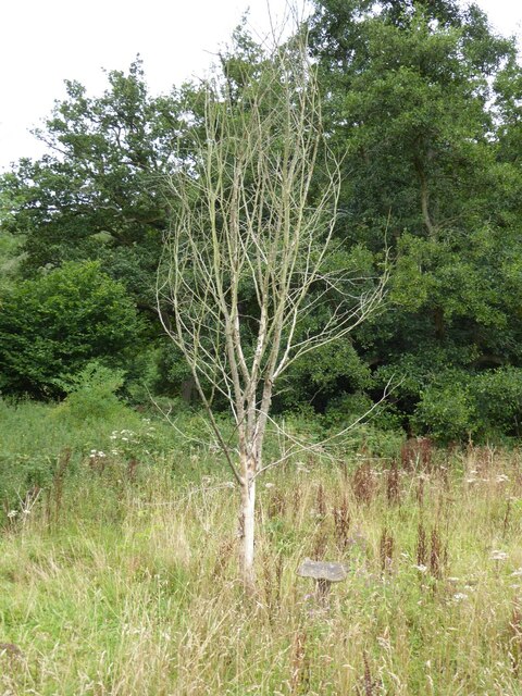
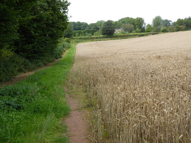
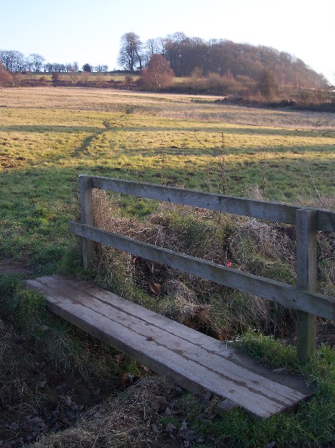
Nature enthusiasts will find themselves in paradise at Brockhampton Estate. With its diverse array of habitats, the estate is home to a wide variety of plant and animal species. Exploring the ancient woodland, meandering through wildflower meadows, or observing the resident wildlife at the wildlife hide are just some of the activities that visitors can enjoy.
Brockhampton Estate also offers a range of facilities and amenities to enhance the visitor experience. From the welcoming tearoom serving delicious homemade treats to the well-stocked gift shop showcasing local crafts and produce, there is something for everyone to enjoy at this magnificent heritage site.
If you have any feedback on the listing, please let us know in the comments section below.
Brockhampton Estate Images
Images are sourced within 2km of 52.189/-2.467 or Grid Reference SO6854. Thanks to Geograph Open Source API. All images are credited.


Brockhampton Estate is located at Grid Ref: SO6854 (Lat: 52.189, Lng: -2.467)
What 3 Words
///proves.about.musical. Near Bromyard, Herefordshire
Nearby Locations
Related Wikis
Brockhampton (near Bromyard)
Brockhampton is a civil parish in Herefordshire, England, about 4 km (2 mi) east of Bromyard. The parish comprises the National Trust property of Brockhampton...

Linton (near Bromyard)
Linton is a civil parish in north-east of Herefordshire, England, and is approximately 14 miles (23 km) north-east from the city and county town of Hereford...
Brockhampton Estate
The Brockhampton Estate is a National Trust property in Herefordshire, England, and is to the north of the A44 Bromyard to Worcester road, opposite the...
Bromyard Downs
Bromyard Downs is an area of registered common land, and a scattered settlement, just outside the town of Bromyard in Herefordshire, England. The 114 hectares...

Norton, Herefordshire
Norton is a civil parish in north-east Herefordshire, England, and is approximately 14 miles (23 km) north-east from the city and county town of Hereford...

Bringsty Common
Bringsty Common is a scattered settlement and 220 acres (89 ha) of common land in Herefordshire, England, spanning the A44. It lies close to the Worcestershire...
Bromyard Town F.C.
Bromyard Town Football Club is a football club based in Bromyard, Herefordshire, England. They are currently members of the West Midlands (Regional) League...
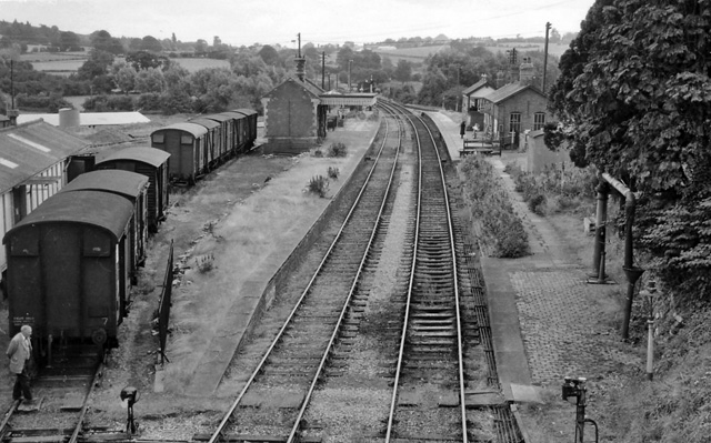
Bromyard railway station
Bromyard railway station was a station in Bromyard, Herefordshire, England. The station was opened on 22 October 1877 and closed after the last train on...
Related Videos
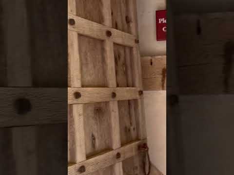

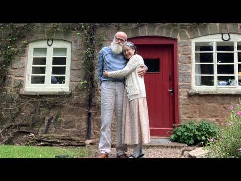
Old Mill Cottage
15th century cottage set in Brockhampton Estate.
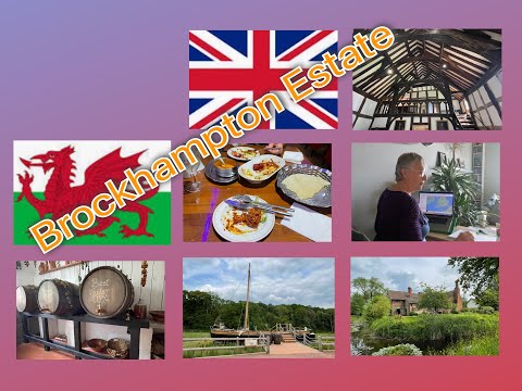
UK Roadtrip| Brockhampton Estate: Beautiful Heritage (Bromyard)
nationaltrust #brockhampton #ukroadtrip UK Roadtrip| Brockhampton Estate: Beautiful Heritage (Bromyard) What a treasure is this ...
Nearby Amenities
Located within 500m of 52.189,-2.467Have you been to Brockhampton Estate?
Leave your review of Brockhampton Estate below (or comments, questions and feedback).