Breinton Springs

Heritage Site in Herefordshire

England

Breinton Springs

Farmland at Breinton A footpath follows this fence separating this field and orchard.
Farmland at Breinton Credit: Philip Halling

Breinton Springs is a historic heritage site located in Herefordshire, England. Situated just three miles northwest of Hereford city, it is renowned for its natural beauty and historical significance. The site is named after the nearby village of Breinton and is composed of a series of freshwater springs.

The springs at Breinton have been an important water source for centuries, with evidence of human activity in the area dating back to the Roman era. The water from these springs is known for its exceptional purity and clarity, making it highly sought after. In fact, it was once used as a source of drinking water for the city of Hereford.

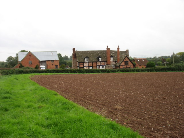
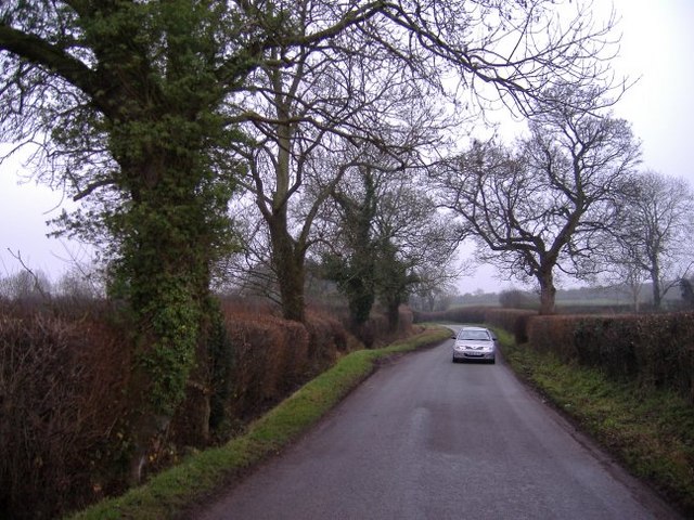
Today, Breinton Springs is a popular tourist attraction, drawing visitors from far and wide. The site offers picturesque views of the surrounding countryside and is home to a diverse range of flora and fauna. It is particularly renowned for its vibrant wildflower meadows, which burst into an array of colors during the spring and summer months.

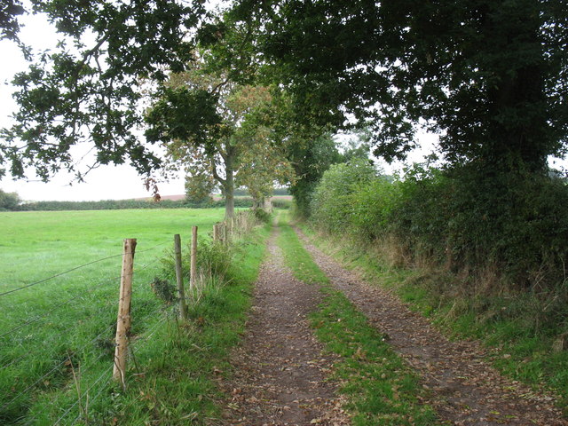
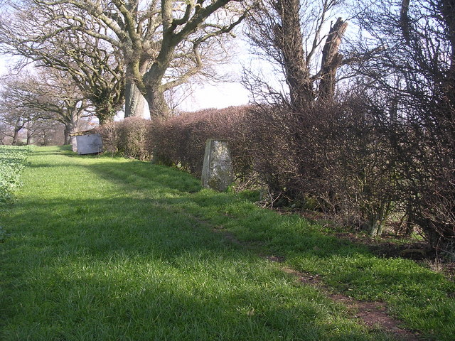
The heritage site also features a number of walking trails, allowing visitors to explore the area and learn about its history. Interpretive signs and information boards provide insights into the geological and ecological significance of the springs. Additionally, there are picnic areas and benches scattered throughout the site, providing visitors with the perfect opportunity to relax and enjoy the tranquil setting.

Breinton Springs is a true gem in Herefordshire, offering both natural beauty and a glimpse into the region's rich history. Whether it's for a leisurely stroll, a picnic, or simply to appreciate the unique landscape, the site is a must-visit destination for locals and tourists alike.

If you have any feedback on the listing, please let us know in the comments section below.

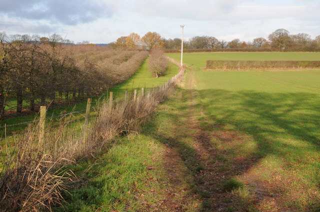
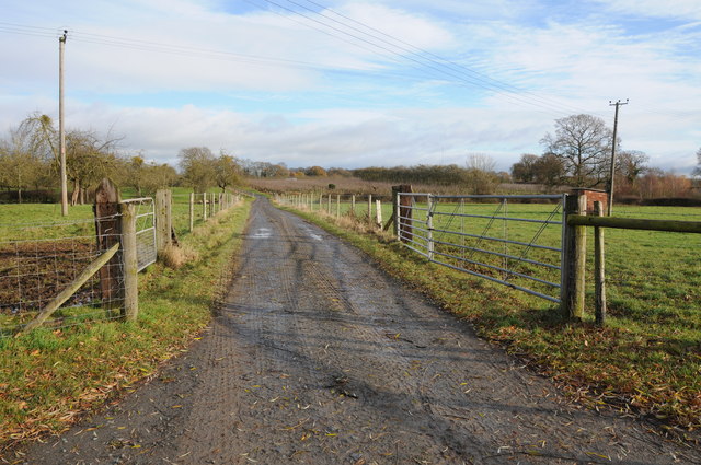
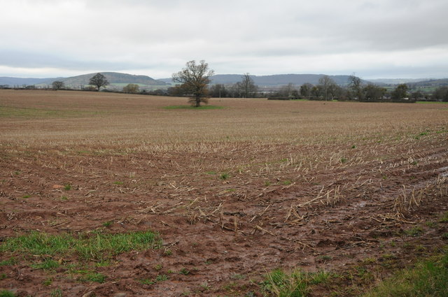
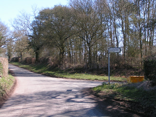
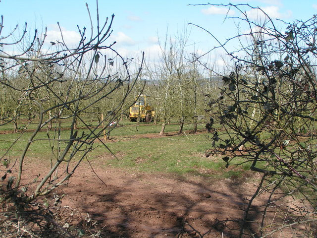
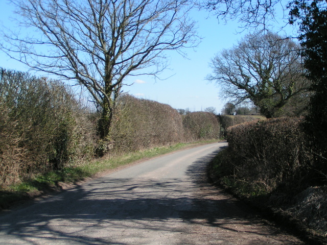
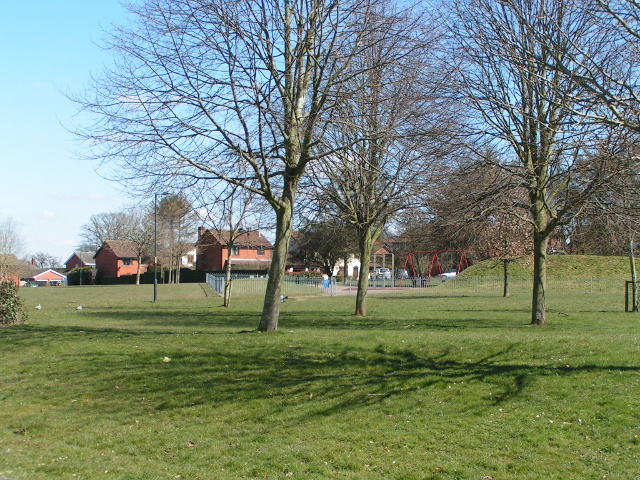
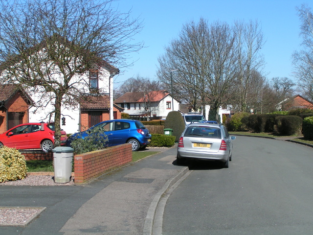
Breinton Springs Images

Images are sourced within 2km of 52.051/-2.77 or Grid Reference SO4739. Thanks to Geograph Open Source API. All images are credited.

Farmland at Breinton A footpath follows this fence separating this field and orchard.
Farmland at Breinton
A footpath follows this fence separating this field and orchard.
Farm drive at Upper Breinton
Arable land near Lower Breinton Arable land west of Lower Hill Farm, Lower Breinton.
Arable land near Lower Breinton
Arable land west of Lower Hill Farm, Lower Breinton.
Lane junction near Breinton Sign says "Breinton Church, Lower Breinton, Wareham"
Lane junction near Breinton
Sign says "Breinton Church, Lower Breinton, Wareham"
Working in the orchard near Upper Breinton
Lane heading east from Upper Breinton
Play area next to Huntsmans Drive, Hereford
Houses and cars on Huntsmans Drive, Hereford
The Wye Valley Walk near Upper Breinton
Upper Breinton The Wye Valley Walk passes through this small village.
Upper Breinton
The Wye Valley Walk passes through this small village.
King's Acre Road The main road to the West, from Hereford.
King's Acre Road
The main road to the West, from Hereford.
The road to Upper Breinton A quiet country lane winds its way through cider orchard country.
The road to Upper Breinton
A quiet country lane winds its way through cider orchard country.
Cider Press Little Breinton Farm This cider press,presumably it was a two stage process is by the roadside adjacent to the farm entrance. The farm is surrounded by cider orchards.
Cider Press Little Breinton Farm
This cider press,presumably it was a two stage process is by the roadside adjacent to the farm entrance. The farm is surrounded by cider orchards.
Trig point in hedge The view from here is extensive and to the South West encompasses the Black Mountains, Black Hill and Black Darren with the escarpment of Hay Bluff. The River Wye flows just across the SW corner of this square
Trig point in hedge
The view from here is extensive and to the South West encompasses the Black Mountains, Black Hill and Black Darren with the escarpment of Hay Bluff. The River Wye flows just across the SW corner of this square
Footpath to Upper Breinton
Red-brick barns at Upper Breinton This is the farm opposite the Manor House.
Red-brick barns at Upper Breinton
This is the farm opposite the Manor House.
Upper Hill Farm A bridleway runs north from here, through the farm, to meet the King's Acre Road west of Hereford.
Upper Hill Farm
A bridleway runs north from here, through the farm, to meet the King's Acre Road west of Hereford.
Bridleway to Breinton Common The Wye Valley Walk follows this lane by Breinton Manor House.
Bridleway to Breinton Common
The Wye Valley Walk follows this lane by Breinton Manor House.
Show me another place!

Breinton Springs is located at Grid Ref: SO4739 (Lat: 52.051, Lng: -2.77)

Unitary Authority: County of Herefordshire

Police Authority: West Mercia

What 3 Words

///rules.actual.that. Near Belmont, Herefordshire

Related Wikis

Breinton

Breinton is a civil parish in Herefordshire, England. Breinton lies just to the west of Hereford. The name Breinton appears to be a modernised form of...

Warham, Herefordshire

Warham is a place in the English county of Herefordshire. It is situated about 3 km west of the city of Hereford, close to the north bank of the River...

Upper Breinton

Upper Breinton is a village in Herefordshire, England. It is located in the civil parish of Breinton. == References == The geographic coordinates are from...

Belmont Abbey, Herefordshire

Belmont Abbey, in Herefordshire, England, is a Catholic Benedictine monastery that forms part of the English Benedictine Congregation. It stands on a small...

Nearby Amenities

Located within 500m of 52.051,-2.77
Post Box
Lat/Long: 52.0534436/-2.7712843
Barrier: kissing_gate
Lat/Long: 52.0491188/-2.763521
Breinton Spring
Drinking Water: no
Natural: spring
Lat/Long: 52.0511494/-2.7709169
The data included in this document is from www.openstreetmap.org. The data is made available under ODbL.

Have you been to Breinton Springs?

Leave your review of Breinton Springs below (or comments, questions and feedback).