Breinton, Lower
Settlement in Herefordshire
England
Breinton, Lower
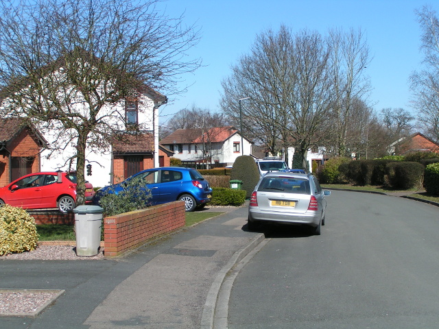
Breinton is a small village located in the county of Herefordshire, in the west of England. Situated in the southern part of the county, it is nestled in the picturesque Wye Valley and surrounded by rolling countryside and farmland. The village is situated about 3 miles west of the city of Hereford, making it an attractive residential area for those seeking a peaceful countryside lifestyle with easy access to urban amenities.
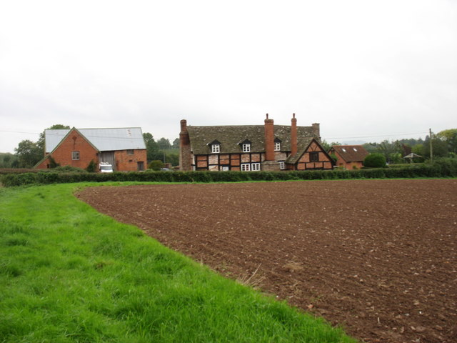
Breinton is characterized by its charming rural atmosphere, with a mix of traditional stone cottages and more modern houses dotting the landscape. The village is home to a close-knit community and offers a sense of tranquility and a slower pace of life compared to nearby urban centers.
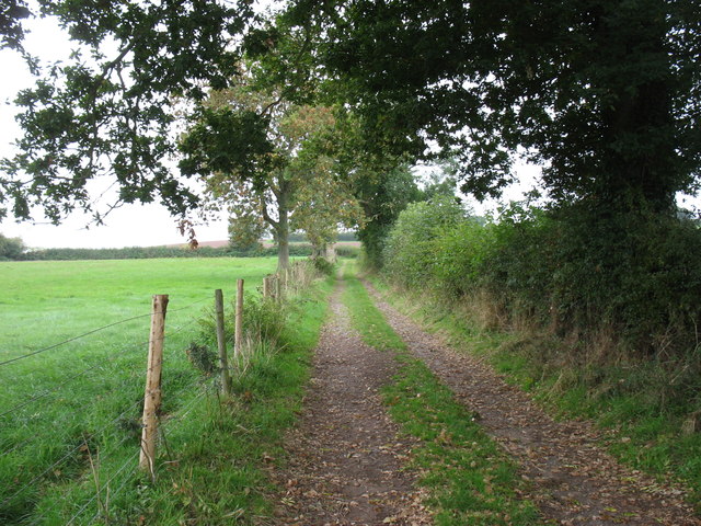
The village boasts a few amenities, including a local pub, The Baskerville Arms, which provides a popular gathering place for both locals and visitors. The surrounding area offers ample opportunities for outdoor activities, such as walking, hiking, and cycling, with numerous scenic routes and footpaths to explore.
Breinton is also known for its proximity to the River Wye, one of the most scenic and popular rivers in the UK. The river offers opportunities for fishing, boating, and leisurely walks along its banks, providing a tranquil escape for residents and visitors alike.
Overall, Breinton is a charming and idyllic village in Herefordshire, offering a peaceful lifestyle in a beautiful rural setting, while still being within easy reach of urban amenities and the natural beauty of the Wye Valley.
If you have any feedback on the listing, please let us know in the comments section below.
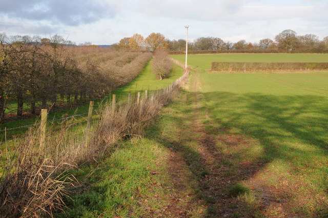
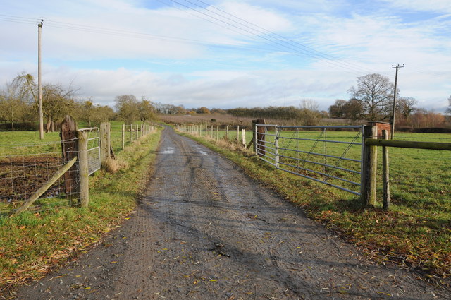
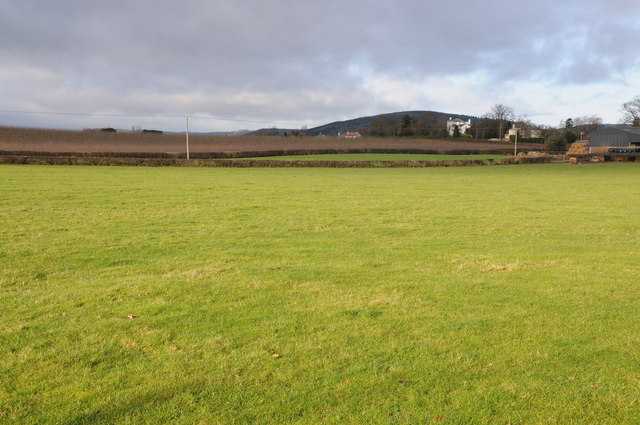
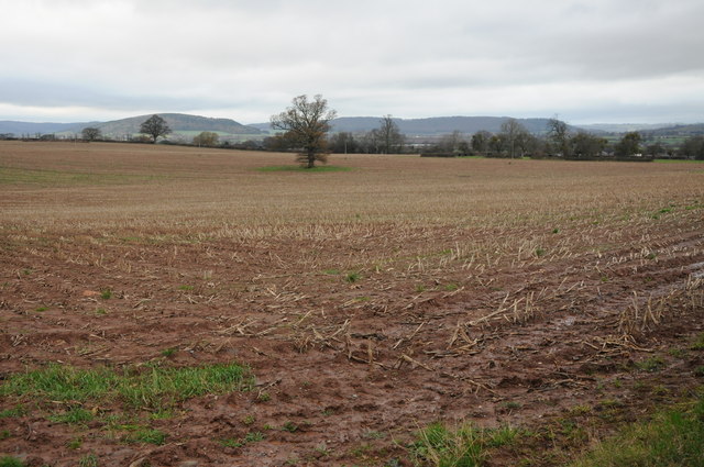
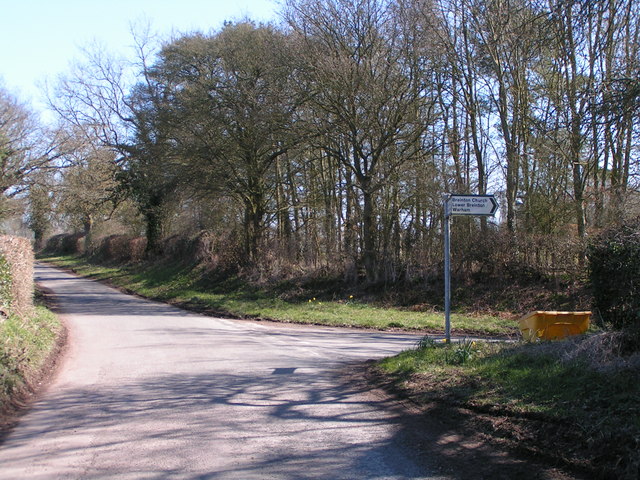
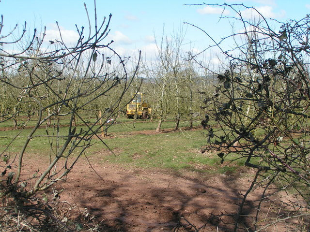
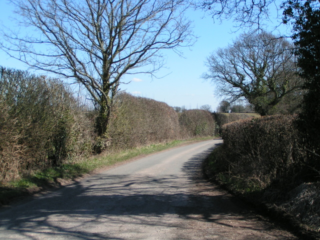
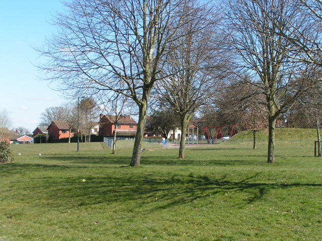
Breinton, Lower Images
Images are sourced within 2km of 52.053377/-2.7708409 or Grid Reference SO4739. Thanks to Geograph Open Source API. All images are credited.


Breinton, Lower is located at Grid Ref: SO4739 (Lat: 52.053377, Lng: -2.7708409)
Unitary Authority: County of Herefordshire
Police Authority: West Mercia
What 3 Words
///abundance.bagpipes.benched. Near Belmont, Herefordshire
Nearby Locations
Related Wikis

Breinton
Breinton is a civil parish in Herefordshire, England. Breinton lies just to the west of Hereford. The name Breinton appears to be a modernised form of...

Upper Breinton
Upper Breinton is a village in Herefordshire, England. It is located in the civil parish of Breinton. == References == The geographic coordinates are from...
Warham, Herefordshire
Warham is a place in the English county of Herefordshire. It is situated about 3 km west of the city of Hereford, close to the north bank of the River...

Belmont Abbey, Herefordshire
Belmont Abbey, in Herefordshire, England, is a Catholic Benedictine monastery that forms part of the English Benedictine Congregation. It stands on a small...
Belmont Rural
Belmont Rural is a civil parish in Herefordshire, England. The population of the Civil Parish taken at the 2011 Census was 3,769. It is south-west of...
Whitecross Hereford High School
Whitecross Hereford High School is a mixed secondary school located in Hereford in the English county of Herefordshire.Previously a community school administered...

Church of St Mary Magdalene, Stretton Sugwas
The Church of St Mary Magdalene is an Anglican church in the village of Stretton Sugwas, in Herefordshire, England. The church is in the Burghill Benefice...
Stretton Sugwas
Stretton Sugwas ( STRET-ən SUG-əs) is a village and civil parish in Herefordshire, England, about 4 miles (6.4 km) northwest of Hereford. The parish also...
Nearby Amenities
Located within 500m of 52.053377,-2.7708409Have you been to Breinton, Lower?
Leave your review of Breinton, Lower below (or comments, questions and feedback).