Branodonum Roman Fort

Heritage Site in Norfolk King's Lynn and West Norfolk

England

Branodonum Roman Fort

Pleasant path Just about the most perfect surface for a footpath. Clean, well-defined, flat, firm but not too soft nor too hard, no mud, no puddles, no dog poop, no litter!
Pleasant path Credit: Ian Paterson

Branodonum Roman Fort, also known as Brancaster Roman Fort, is a significant archaeological site located in the village of Brancaster in Norfolk, England. The fort is situated on the North Norfolk coast, overlooking the North Sea and is a designated heritage site due to its historical and cultural importance.

Dating back to the 3rd century AD, Branodonum served as a Roman coastal fortification during the Roman occupation of Britain. The fort was strategically positioned to guard the Roman settlement of Brancaster against potential threats from the sea. It was constructed as a rectangular enclosure, measuring approximately 130 meters by 100 meters, and was protected by a series of defensive walls and ditches.

Excavations at the site have uncovered evidence of barracks, granaries, a bathhouse, and a main gate, providing valuable insights into the daily life of the Roman soldiers stationed there. The fort's location near the coast also suggests that it played a role in facilitating maritime trade and communication between Britain and the Roman Empire.

Today, Branodonum Roman Fort is managed by English Heritage and is open to the public. Visitors can explore the remains of the fort, including the reconstructed gatehouse, which provides a glimpse into the past. The site offers a unique opportunity to learn about Roman military strategies, architecture, and the Roman presence in Norfolk.

If you have any feedback on the listing, please let us know in the comments section below.

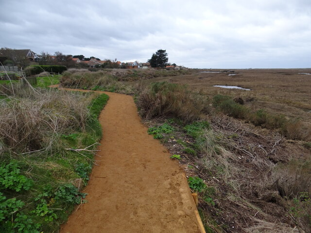
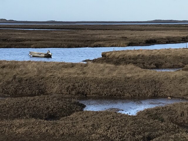
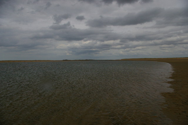
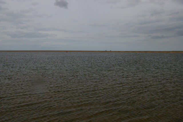
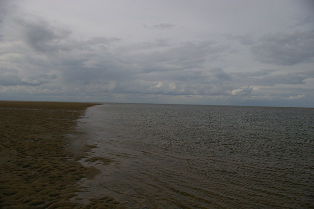
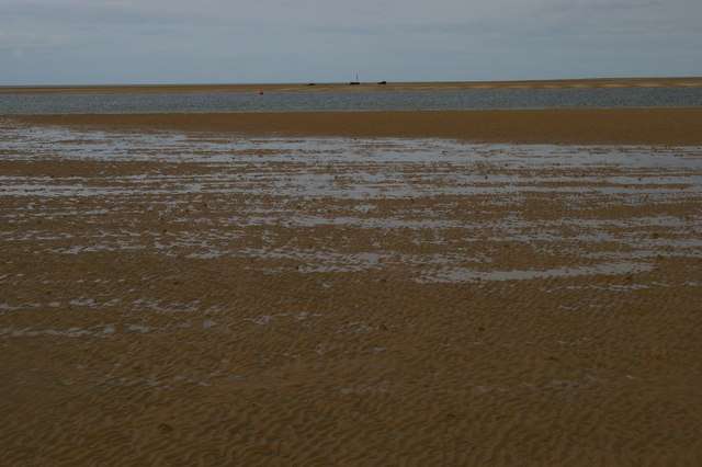
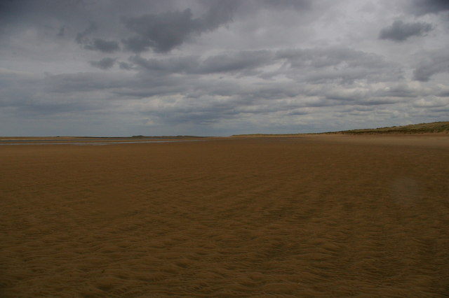
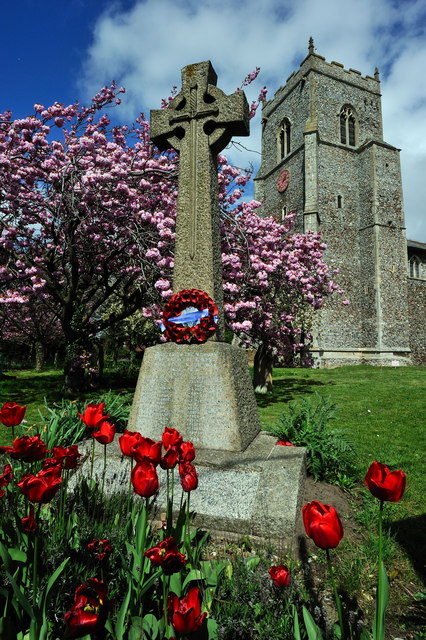
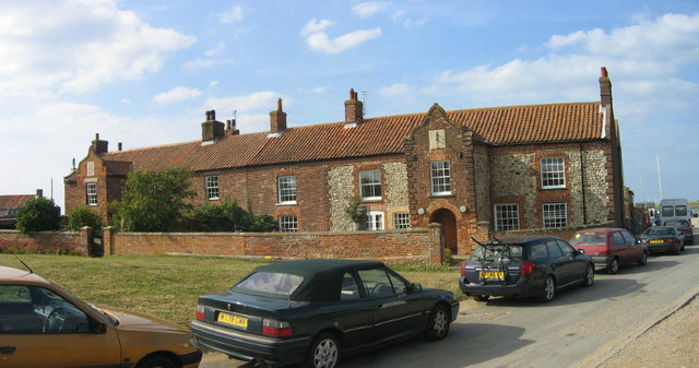
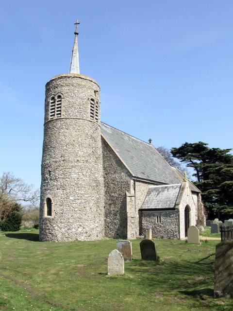
Branodonum Roman Fort Images

Images are sourced within 2km of 52.964/0.652 or Grid Reference TF7844. Thanks to Geograph Open Source API. All images are credited.

Pleasant path Just about the most perfect surface for a footpath. Clean, well-defined, flat, firm but not too soft nor too hard, no mud, no puddles, no dog poop, no litter!
Pleasant path
Just about the most perfect surface for a footpath. Clean, well-defined, flat, firm but not too soft nor too hard, no mud, no puddles, no dog poop, no litter!
Saltmarsh and creeks, Brancaster Staithe A view from the car park of the White Horse
Saltmarsh and creeks, Brancaster Staithe
A view from the car park of the White Horse
Signpost in the garden of the White Horse, Brancaster Staithe The garden and car park abut the saltmarshes at this popular North Norfolk hostelry.
Signpost in the garden of the White Horse, Brancaster Staithe
The garden and car park abut the saltmarshes at this popular North Norfolk hostelry.
Brancaster across the marshes
Royal West Norfolk Golf Club: war memorial gates The gate records members and other associates of the club killed in the two World Wars.  At the head of those killed in the Second World War is H.R.H. the Duke of Kent.
Royal West Norfolk Golf Club: war memorial gates
The gate records members and other associates of the club killed in the two World Wars. At the head of those killed in the Second World War is H.R.H. the Duke of Kent.
Brancaster Beach, and the clubhouse of the Royal West Norfolk Golf Club
Marsh Road, between the Royal West Norfolk Golf Club and the marshes
Brancaster Beach looking east
Brancaster Harbour, with a wreck in the distance
Brancaster Harbour
Brancaster Harbour
Brancaster Beach The Royal West Norfolk Golf Club clubhouse in the distance.
Brancaster Beach
The Royal West Norfolk Golf Club clubhouse in the distance.
Brancaster Harbour, distant wreck
Brancaster Beach looking east
Brancaster Beach Looking towards the ship wreck SS Vina.

The camera location was fixed using a Nikon GP-1 GPS unit attached to the camera. This is embedded in the EXIF data.
Brancaster Beach
Looking towards the ship wreck SS Vina. The camera location was fixed using a Nikon GP-1 GPS unit attached to the camera. This is embedded in the EXIF data.
War Memorial, St Mary's Church, Brancaster
Royal West Norfolk Golf Club House, Brancaster Looking inland towards the club house - <span class="nowrap"><a title="http://www.rwngc.org/" rel="nofollow ugc noopener" href="http://www.rwngc.org/">Link</a><img style="margin-left:2px;" alt="External link" title="External link - shift click to open in new window" src="https://s1.geograph.org.uk/img/external.png" width="10" height="10"/></span>
Royal West Norfolk Golf Club House, Brancaster
Looking inland towards the club house - LinkExternal link
Royal West Norfolk Golf Club House, Brancaster A panorama of photographs showing the club house looking north - <span class="nowrap"><a title="http://www.rwngc.org/" rel="nofollow ugc noopener" href="http://www.rwngc.org/">Link</a><img style="margin-left:2px;" alt="External link" title="External link - shift click to open in new window" src="https://s1.geograph.org.uk/img/external.png" width="10" height="10"/></span>
Royal West Norfolk Golf Club House, Brancaster
A panorama of photographs showing the club house looking north - LinkExternal link
Royal West Norfolk Golf Club House, Brancaster
Show me another place!

Branodonum Roman Fort is located at Grid Ref: TF7844 (Lat: 52.964, Lng: 0.652)

Administrative County: Norfolk

District: King's Lynn and West Norfolk

Police Authority: Norfolk

What 3 Words

///replaying.removable.mammoth. Near Hunstanton, Norfolk

Related Wikis

Branodunum

Branodunum was an ancient Roman fort to the east of the modern English village of Brancaster in Norfolk. Its Roman name derives from the local Celtic language...

Brancaster

Brancaster is a village and civil parish on the north coast of the English county of Norfolk. The civil parish of Brancaster comprises Brancaster itself...

Brancaster Staithe

Brancaster Staithe is a village on the north coast of the English county of Norfolk. Brancaster Staithe merges with Burnham Deepdale, forming one village...

Royal West Norfolk Golf Club

Royal West Norfolk Golf Club is a golf club in Brancaster, Norfolk, England, about 7 miles (11 km) east of Hunstanton, between Brancaster Bay and the salt...

Titchwell

Titchwell is a village and civil parish in Norfolk, England. It is situated on the north Norfolk coast some 2 km (1.2 mi) west of the village of Brancaster...

St Mary's Church, Burnham Deepdale

St Mary's Church is a round-tower church in Burnham Deepdale, Norfolk, England. Its round tower and some other parts of the building date from the 11th...

Titchwell Marsh

Titchwell Marsh is an English nature reserve owned and managed by the Royal Society for the Protection of Birds (RSPB). Located on the north coast of the...

Scolt Head Island

Scolt Head Island is an offshore barrier island between Brancaster and Wells-next-the-Sea in north Norfolk. It is in the parish of Burnham Norton and is...

Nearby Amenities

Located within 500m of 52.964,0.652
Bus Stop
Saxon Field, opp
Bench: yes
Bus: yes
Naptan AtcoCode: 2900B4316
Naptan Bearing: E
Naptan CommonName: Saxon Field
Naptan Indicator: opp
Naptan Landmark: Saxon Field
Naptan Locality: Brancaster
Naptan NaptanCode: nfogpdtd
Naptan ShortCommonName: Saxon Field
Naptan Street: A149
Naptan Verified: no
Public Transport: platform
Shelter: yes
Source: naptan_import
Lat/Long: 52.9628349/0.6464049
Bus Stop
Saxon Field, adj
Bench: yes
Bin: no
Bus: yes
Naptan AtcoCode: 2900B4317
Naptan Bearing: W
Naptan CommonName: Saxon Field
Naptan Indicator: adj
Naptan Landmark: Saxon Field
Naptan Locality: Brancaster
Naptan NaptanCode: nfogpdtg
Naptan ShortCommonName: Saxon Field
Naptan Street: A149
Naptan Verified: no
Public Transport: platform
Shelter: yes
Source: naptan_import
Lat/Long: 52.9627023/0.6461049
Bench
Backrest: yes
Colour: grey
Inscription: R.G W / 1928 – 2000 / K F W / 1926 – 2015
Material: wood
Lat/Long: 52.9660496/0.6507415
Waste Basket
Waste: dog_excrement
Lat/Long: 52.9646052/0.6500059
Barrier: kissing_gate
Lat/Long: 52.9646292/0.6499334
Bench
Backrest: yes
Colour: grey
Inscription: For Harry and Max
Material: plastic
Lat/Long: 52.9632136/0.654486
Give Way
Lat/Long: 52.9630391/0.6502064
Give Way
Lat/Long: 52.9635156/0.648252
Barrier: kerb
Kerb: lowered
Lat/Long: 52.9634691/0.6493936
The data included in this document is from www.openstreetmap.org. The data is made available under ODbL.

Have you been to Branodonum Roman Fort?

Leave your review of Branodonum Roman Fort below (or comments, questions and feedback).