Bourn Windmill

Heritage Site in Cambridgeshire

England

Bourn Windmill

House, Caxton, Cambridgeshire
House, Caxton, Cambridgeshire Credit: Martin John Bishop

Bourn Windmill, located in the village of Bourn in Cambridgeshire, England, is a well-known heritage site that attracts visitors from far and wide. This historical windmill stands as a testament to the region's agricultural past and serves as a reminder of the importance of wind power in the region's history.

Built in the early 19th century, Bourn Windmill was originally used for grinding corn and producing flour. Its iconic white tower, made of brick and standing at three stories high, is a prominent landmark in the area. Over the years, the windmill underwent various renovations and restorations to ensure its preservation and to maintain its functionality.

Today, Bourn Windmill stands as a museum, offering visitors a glimpse into the region's agricultural heritage. Upon entering the windmill, visitors are greeted with a wealth of information about the history and workings of the mill. The ground floor exhibits the machinery used for grinding corn, while the upper floors showcase the mill's inner workings and the technology behind its operation.

The windmill's exterior offers visitors panoramic views of the surrounding countryside, providing a unique opportunity to appreciate the beauty of the Cambridgeshire landscape. Additionally, there is a small gift shop and café on-site, allowing visitors to relax and enjoy refreshments while taking in the scenery.

Bourn Windmill is not only a significant historical site but also a valuable educational resource for both locals and tourists. Its rich history and well-preserved structure make it a must-visit destination for those interested in the region's agricultural past and the role wind power played in it.

If you have any feedback on the listing, please let us know in the comments section below.

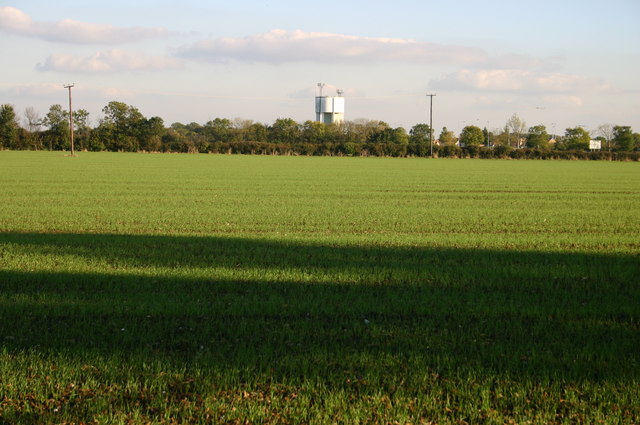
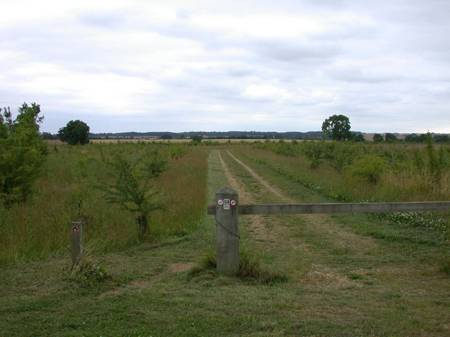
Bourn Windmill Images

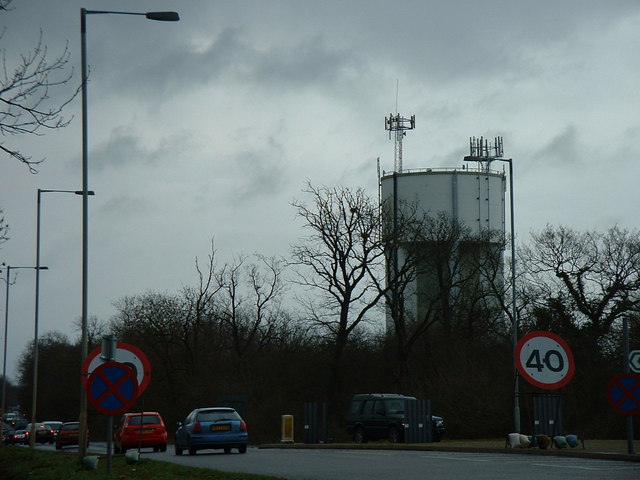
Images are sourced within 2km of 52.208/-0.075 or Grid Reference TL3158. Thanks to Geograph Open Source API. All images are credited.

House, Caxton, Cambridgeshire
Firs Farm - Pig unit
Caxton: fog and a footpath The path links Caxton Road and St Peter's Street. St Andrew's Church was lost in the mist on a dank autumn morning.
Caxton: fog and a footpath
The path links Caxton Road and St Peter's Street. St Andrew's Church was lost in the mist on a dank autumn morning.
Gransden Road
Gransden Road
Approaching Caxton on Gransden Road Half past eleven on a cloudless morning in late November.
Approaching Caxton on Gransden Road
Half past eleven on a cloudless morning in late November.
Caxton: the edge of the village on Gransden Road The fingerpost on the extreme left points to tracks and paths to Hardwicke Farm and Eltisley. The sun was still low in the sky before ten o'clock on a cloudless November morning.
Caxton: the edge of the village on Gransden Road
The fingerpost on the extreme left points to tracks and paths to Hardwicke Farm and Eltisley. The sun was still low in the sky before ten o'clock on a cloudless November morning.
Caxton: towards St Andrew's tower It was a less bright view the last time I pointed a camera this way, in November 2015: <a href="https://www.geograph.org.uk/photo/4726348">TL2957 : Caxton: fog and a footpath</a>. Since then, part of the red-brick wall has fallen and the fingerpost is at a drunken angle.
Caxton: towards St Andrew's tower
It was a less bright view the last time I pointed a camera this way, in November 2015: TL2957 : Caxton: fog and a footpath. Since then, part of the red-brick wall has fallen and the fingerpost is at a drunken angle.
Water Tower, St. Neots Road. This water tower is only just in square TL3160, but can be seen from the whole area.
Water Tower, St. Neots Road.
This water tower is only just in square TL3160, but can be seen from the whole area.
Road bridge over the A428 This bridge takes traffic into Cambourne.
Road bridge over the A428
This bridge takes traffic into Cambourne.
Cambourne roundabout Cambourne has a series of roundabouts to negotiate when arriving from the North, this is the first.
Cambourne roundabout
Cambourne has a series of roundabouts to negotiate when arriving from the North, this is the first.
Tree planting by the A428 One day this will be a forest?
Tree planting by the A428
One day this will be a forest?
Looking to Water Tower From Lawn Farm lane looking to Water Tower
Looking to Water Tower
From Lawn Farm lane looking to Water Tower
To St. Neots 9 Old milestone on what was the A.45 near to Cambourne, Cambridgeshire. For close up view see <a title="https://www.geograph.org.uk/photo/1211357" href="https://www.geograph.org.uk/photo/1211357">Link</a>
To St. Neots 9
Old milestone on what was the A.45 near to Cambourne, Cambridgeshire. For close up view see Link
Old Milepost Old milepost on what was the A.45 near to Cambourne, Cambridgeshire. For overall view see <a title="https://www.geograph.org.uk/photo/1211350" href="https://www.geograph.org.uk/photo/1211350">Link</a>
Old Milepost
Old milepost on what was the A.45 near to Cambourne, Cambridgeshire. For overall view see Link
St.Neots Road Looking towards Cambridge
St.Neots Road
Looking towards Cambridge
Cambourne Water Tower Off St.Neots Road (The former A428)
Cambourne Water Tower
Off St.Neots Road (The former A428)
St.Neots Road Looking towards Caxton Gibbet.
St.Neots Road
Looking towards Caxton Gibbet.
Roadsign on St.Neots Road <span class="nowrap"><a title="https://en.wikipedia.org/wiki/Cambourne" rel="nofollow ugc noopener" href="https://en.wikipedia.org/wiki/Cambourne">Link</a><img style="margin-left:2px;" alt="External link" title="External link - shift click to open in new window" src="https://s1.geograph.org.uk/img/external.png" width="10" height="10"/></span>
Roadsign on St.Neots Road
Show me another place!

Bourn Windmill is located at Grid Ref: TL3158 (Lat: 52.208, Lng: -0.075)

What 3 Words

///stunt.houseboat.slamming. Near Cambourne, Cambridgeshire

Nearby Locations

Bourn Windmill

Related Wikis

Bourn Windmill

Bourn Windmill is an open trestle post mill at Bourn in Cambridgeshire, England, which was standing in 1636. It is a Grade I Listed building and a Scheduled...

Cambourne Nature Reserve

Cambourne Nature Reserve is a 90 hectare nature reserve in Cambourne in Cambridgeshire. It is managed by the Wildlife Trust for Bedfordshire, Cambridgeshire...

Caxton, Cambridgeshire

Caxton is a small rural village and civil parish in the South Cambridgeshire district of Cambridgeshire, England. It is 9 miles west of the county town...

Cambourne

Cambourne is a new settlement and civil parish in Cambridgeshire, England, in the district of South Cambridgeshire. It lies on the A428 road between Cambridge...

Cambourne Church

Cambourne Church is a "local ecumenical partnership" between the Church of England, Baptist Union of Great Britain, Methodist Church of Great Britain and...

Cambourne Village College

Cambourne Village College is a mixed secondary school located in Cambourne, Cambridgeshire, England. It is a free school that opened in 2013, and is part...

Bourn

Bourn is a small village and civil parish in South Cambridgeshire, England. Surrounding villages include Caxton, Eltisley and Cambourne. It is 8 miles...

Bourn Hall Clinic

Bourn Hall Clinic in Bourn, Cambridgeshire, England, is a centre for the treatment of infertility. The original building, Bourn Hall, is about 400 years...

Nearby Amenities

Located within 500m of 52.208,-0.075
Noexit: yes
Lat/Long: 52.2110074/-0.0734543
Entrance: yes
Lat/Long: 52.2118653/-0.073153
Entrance: yes
Lat/Long: 52.2117184/-0.0731461
Entrance: yes
Lat/Long: 52.2109024/-0.0719721
Information: board
Tourism: information
Lat/Long: 52.2110439/-0.0777606
Barrier: kissing_gate
Lat/Long: 52.2113176/-0.0787348
Bench
Lat/Long: 52.2111188/-0.073528
Entrance: yes
Lat/Long: 52.2109067/-0.0736978
Noexit: yes
Lat/Long: 52.2109409/-0.0734996
Entrance: yes
Lat/Long: 52.21096/-0.073913
Note: a wire fence crosses this track here
Lat/Long: 52.2085842/-0.0808491
Entrance: yes
Lat/Long: 52.2120827/-0.0736195
Entrance: yes
Lat/Long: 52.2121308/-0.0737203
Entrance: yes
Lat/Long: 52.2118944/-0.0732122
Entrance: main
Lat/Long: 52.2106291/-0.0713746
Addr City: Cambridge
Addr Country: GB
Addr Housenumber: 185
Addr Locality: Great Cambourne
Addr Postcode: CB23 5FA
Addr Street: Jeavons Lane
Addr Town: Cambourne
Lat/Long: 52.2105561/-0.0713427
Addr City: Cambridge
Addr Country: GB
Addr Housenumber: 163
Addr Locality: Great Cambourne
Addr Postcode: CB23 5FA
Addr Street: Jeavons Lane
Addr Town: Cambourne
Lat/Long: 52.2106498/-0.0712435
The data included in this document is from www.openstreetmap.org. The data is made available under ODbL.

Have you been to Bourn Windmill?

Leave your review of Bourn Windmill below (or comments, questions and feedback).