Bodeilio
Heritage Site in Anglesey
Wales
Bodeilio
Bodeilio is a historic site located in Anglesey, an island off the northwest coast of Wales. Situated near the village of Llangaffo, Bodeilio is known for its rich heritage and archaeological significance. The site consists of a large, rectangular enclosure, believed to date back to the Iron Age, with evidence of occupation from the Neolithic period onwards.
The main feature of Bodeilio is the remains of an impressive roundhouse, which is considered one of the finest examples of its kind in Wales. The roundhouse is constructed using dry-stone walling techniques, with a circular floor plan and a central hearth. Excavations have revealed artifacts such as pottery, flint tools, and animal bones, providing valuable insights into the lifestyles and activities of the ancient inhabitants.
The site also includes the remains of an Iron Age farmstead and a series of field systems, suggesting that Bodeilio was a thriving agricultural settlement. The well-preserved earthworks and ditches surrounding the site indicate its defensive nature, reflecting the uncertain times in which it was built.
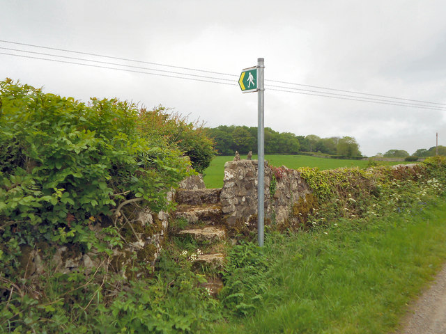
Bodeilio is a designated Scheduled Ancient Monument, recognizing its historic and archaeological importance. It is open to the public, and visitors can explore the remains, walk around the earthworks, and learn about the fascinating history of the site. Interpretive panels offer detailed information about Bodeilio and its significance in the context of Anglesey's ancient past.
Overall, Bodeilio is an exceptional heritage site that provides a glimpse into Anglesey's early history, offering visitors a chance to experience and appreciate the island's ancient past firsthand.
If you have any feedback on the listing, please let us know in the comments section below.
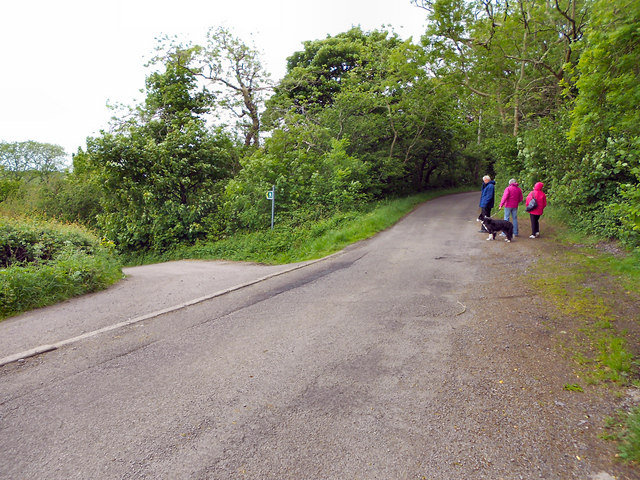
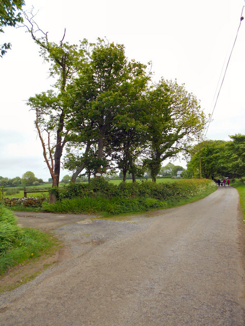
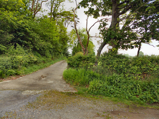
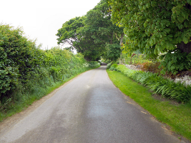
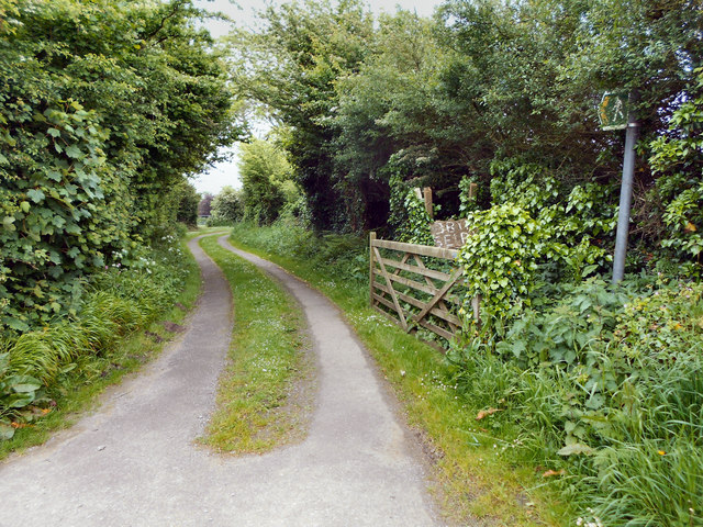
Bodeilio Images
Images are sourced within 2km of 53.273/-4.257 or Grid Reference SH4977. Thanks to Geograph Open Source API. All images are credited.
![Bron Alar Top of silage field accessed via private farm track with Paul Webster.
Name: Bron Alar
Hill number: 14844
Height: 64m / 210ft
Parent (Ma/M): 1961 Mynydd Bodafon [Yr Arwydd]
Section: 30A: Anglesey and the Lleyn Peninsula
County/UA: Anglesey [Sir Fon] (CoU)
Maritime Area: North Wales - Anglesey
Island: Anglesey
Class: Tump (0-99m)
Grid ref: SH 49160 76085
Summit feature: no feature: pasture
Drop: 30m
Col: 34m SH490766](https://s3.geograph.org.uk/geophotos/04/61/71/4617131_10607a82.jpg)


Bodeilio is located at Grid Ref: SH4977 (Lat: 53.273, Lng: -4.257)
Unitary Authority: Isle of Anglesey
Police Authority: North Wales
What 3 Words
///competing.radiating.playroom. Near Llangefni, Isle of Anglesey
Nearby Locations
Related Wikis

Cors Bodeilio National Nature Reserve
Cors Bodeilio National Nature Reserve lies in a shallow valley outside Talwrn on the Isle of Anglesey. Most of the land consists of a lime-rich mire. This...

Talwrn
Talwrn is a small village between the county town of Llangefni and Pentraeth on the Isle of Anglesey, north Wales. Talwrn is most notable for the Grade...

Llanddyfnan
Llanddyfnan is a village and community in Anglesey, Wales, located 3.5 miles (5.6 km) north east of Llangefni, 6.6 miles (10.6 km) north west of Menai...
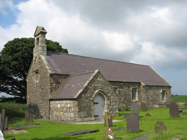
St Dyfnan's Church, Llanddyfnan
St Dyfnan's Church is a medieval church in the village of Llanddyfnan, Anglesey, Wales. The building dates from the 14th century and underwent extensive...
Rhyd-y-Saint railway station
Rhyd-y-Saint railway station was situated on the Red Wharf Bay branch line between Holland Arms railway station and Benllech, the second station after...

St Ffinan's Church, Llanffinan
St Ffinan's Church, Llanffinan is a small 19th-century parish church built in the Romanesque revival style, in Anglesey, north Wales. There has been a...

Pentraeth railway station
Pentraeth railway station was situated on the Red Wharf Bay branch line between Holland Arms railway station and Benllech, the third station after the...

Ceint railway station
Ceint railway station was a station in Anglesey, Wales situated on the Red Wharf Bay branch line between Holland Arms and Benllech. It was the first station...
Nearby Amenities
Located within 500m of 53.273,-4.257Have you been to Bodeilio?
Leave your review of Bodeilio below (or comments, questions and feedback).