Bew Castle
Heritage Site in Cumberland Carlisle
England
Bew Castle
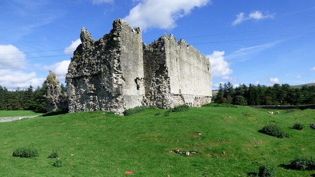
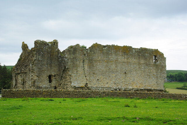
Bew Castle is a historic site located in the county of Cumberland, England. Situated near the village of Longtown, the castle stands on a hill overlooking the Scottish border. It holds significant historical and architectural value, making it a popular heritage site for visitors.
The castle was built in the late 13th century by Sir Walter de Beaufoy, a knight who served under Edward I of England. Its primary purpose was to serve as a defensive stronghold against Scottish invasions during the turbulent medieval period. The castle's strategic location allowed it to control access to the western border of England.
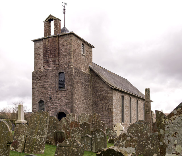
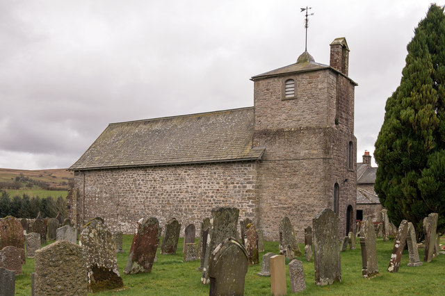
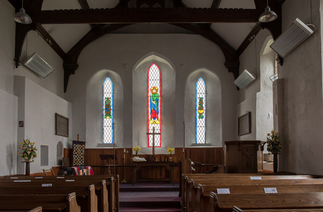
Bew Castle features a rectangular design with strong stone walls and defensive towers. The structure was built using local red sandstone, which gives it a distinct appearance. Despite its age, much of the castle remains intact, allowing visitors to explore its various chambers and walk along the battlements.
Over the centuries, Bew Castle witnessed several conflicts and sieges. It played a significant role in the Anglo-Scottish wars and was attacked multiple times. However, it managed to withstand these assaults, demonstrating its architectural strength. The castle was gradually abandoned in the 17th century and fell into ruin.
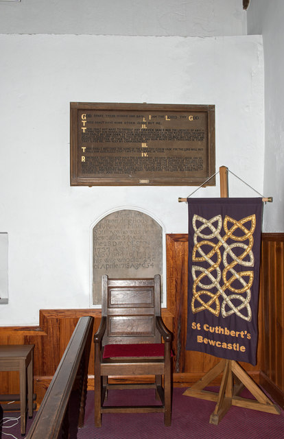
Today, Bew Castle is a protected heritage site managed by English Heritage. Visitors can enjoy guided tours of the castle, learning about its history and the lives of the people who once inhabited it. The site offers stunning views of the surrounding countryside, making it a must-visit destination for history enthusiasts and nature lovers alike.
If you have any feedback on the listing, please let us know in the comments section below.
Bew Castle Images
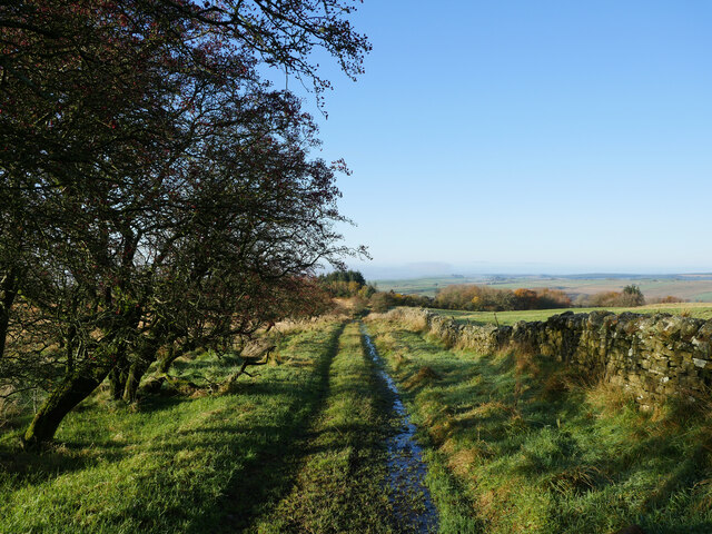
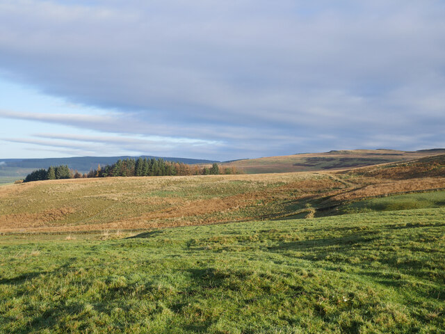
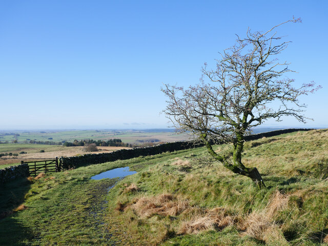
Images are sourced within 2km of 55.063/-2.682 or Grid Reference NY5674. Thanks to Geograph Open Source API. All images are credited.


Bew Castle is located at Grid Ref: NY5674 (Lat: 55.063, Lng: -2.682)
Administrative County: Cumbria
District: Carlisle
Police Authority: Cumbria
What 3 Words
///gazed.bottled.relocated. Near Brampton, Cumbria
Nearby Locations
Related Wikis
Bewcastle
Bewcastle is a large civil parish in the Cumberland unitary authority area of Cumbria, England. It is in the historic county of Cumberland. According to...

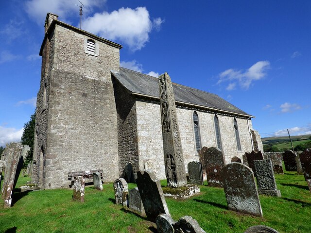
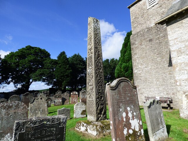
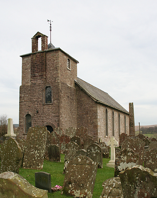
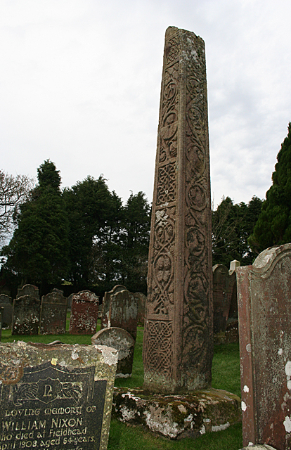
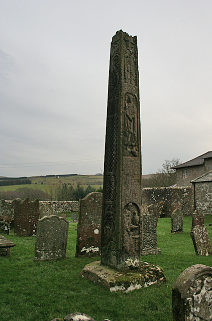
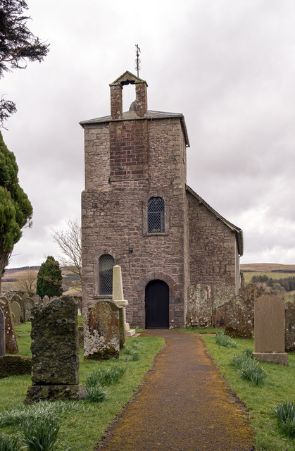
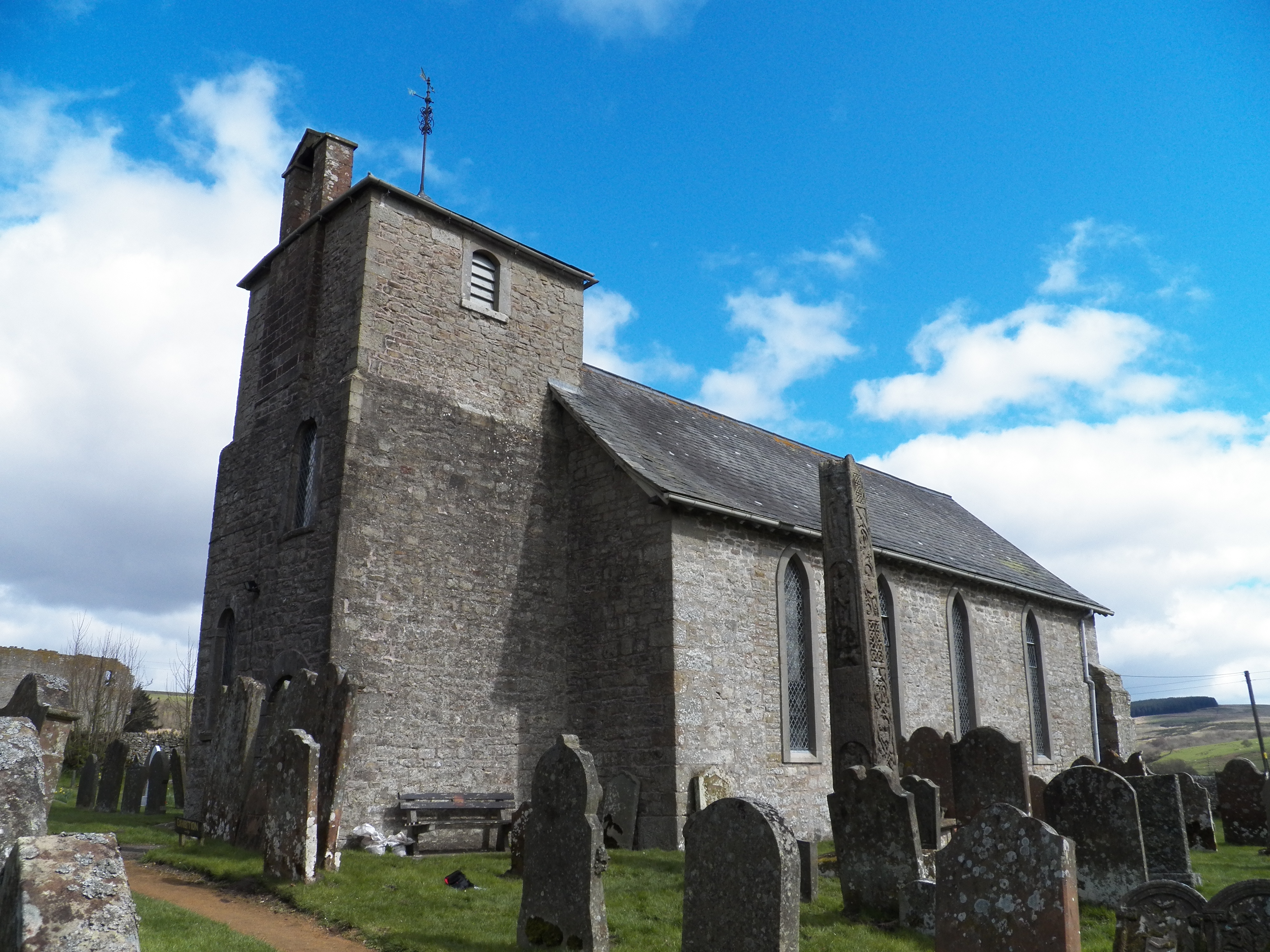
Bewcastle Cross
The Bewcastle Cross is an Anglo-Saxon cross which is still in its original position within the churchyard of St Cuthbert's church at Bewcastle, in the...

Bewcastle Castle
Bewcastle Castle is a ruined castle in the parish of Bewcastle in the English county of Cumbria, a few miles from the Scottish border. == History == The...

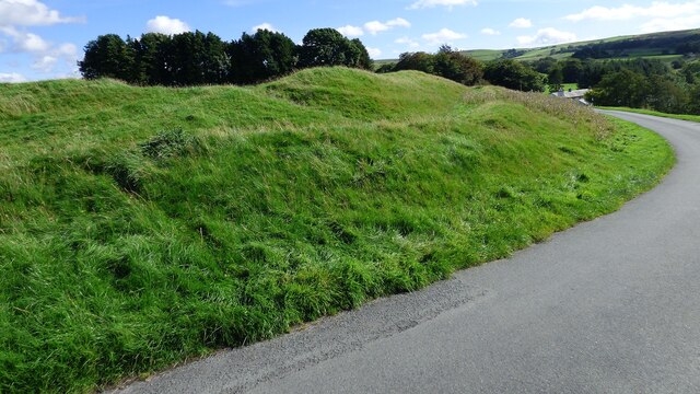
Bewcastle Roman Fort
Bewcastle Roman Fort was built to the north of Hadrian's Wall as an outpost fort possibly intended for scouting and intelligence. The remains of the fort...

Kingwater
Kingwater is a civil parish in City of Carlisle district, Cumbria, England. At the 2011 census it had a population of 170.The parish is bordered to the...

Blackpool Gate
Blackpool Gate is a settlement in the civil parish of Bewcastle, which is in the district of the City of Carlisle in the county of Cumbria, England. It...

Askerton
Askerton is a civil parish in the City of Carlisle district of Cumbria, England. It has a population of 162 according to the 2001 census, decreasing to...

Askerton Castle
Askerton Castle is a medieval fortified manor house in Cumbria, England. == History == Askerton Castle was built in the parish of Askerton in Cumbria around...
Nearby Amenities
Located within 500m of 55.063,-2.682Have you been to Bew Castle?
Leave your review of Bew Castle below (or comments, questions and feedback).