Betchworth Castle
Heritage Site in Surrey
England
Betchworth Castle

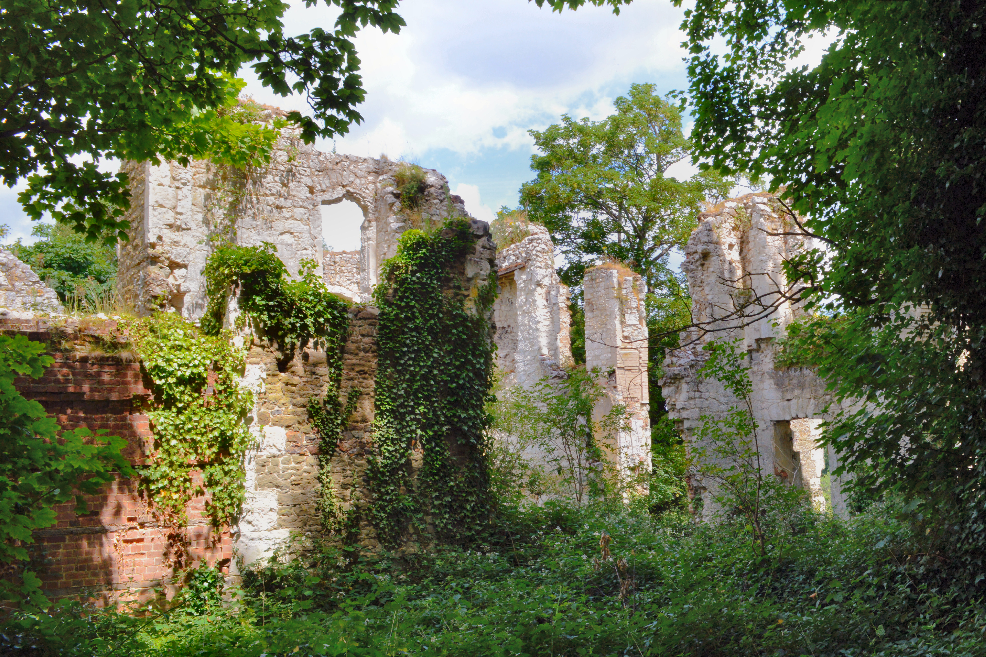
Betchworth Castle, located in Surrey, England, is a historic heritage site that boasts a rich history dating back to the 11th century. The castle, situated on a sandstone spur overlooking the River Mole, is now in ruins but still holds a significant place in the local history and architecture.
Originally constructed as a fortified manor house by the de Warenne family in the 11th century, Betchworth Castle later underwent several renovations and expansions over the centuries. It was eventually converted into a picturesque country house in the 18th century. However, during the English Civil War in the mid-17th century, the castle fell into disrepair and was partially demolished.
Today, the ruins of Betchworth Castle consist of the remains of its fortified walls, gatehouses, and a striking circular tower. The castle's distinctive architecture, characterized by its flint and sandstone construction, offers visitors a glimpse into the medieval past of Surrey.
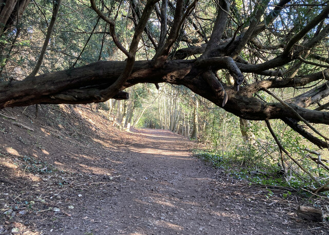
Surrounded by picturesque parkland, the castle ruins provide a serene setting for exploration and contemplation. Visitors can wander through the grounds, taking in the breathtaking views of the surrounding countryside and the River Mole. The site also offers opportunities for leisurely picnics and photography.
Betchworth Castle is managed by English Heritage and is open to the public, free of charge. It serves as a popular destination for history enthusiasts, architecture lovers, and nature seekers alike, offering a unique glimpse into the region's rich heritage.
If you have any feedback on the listing, please let us know in the comments section below.
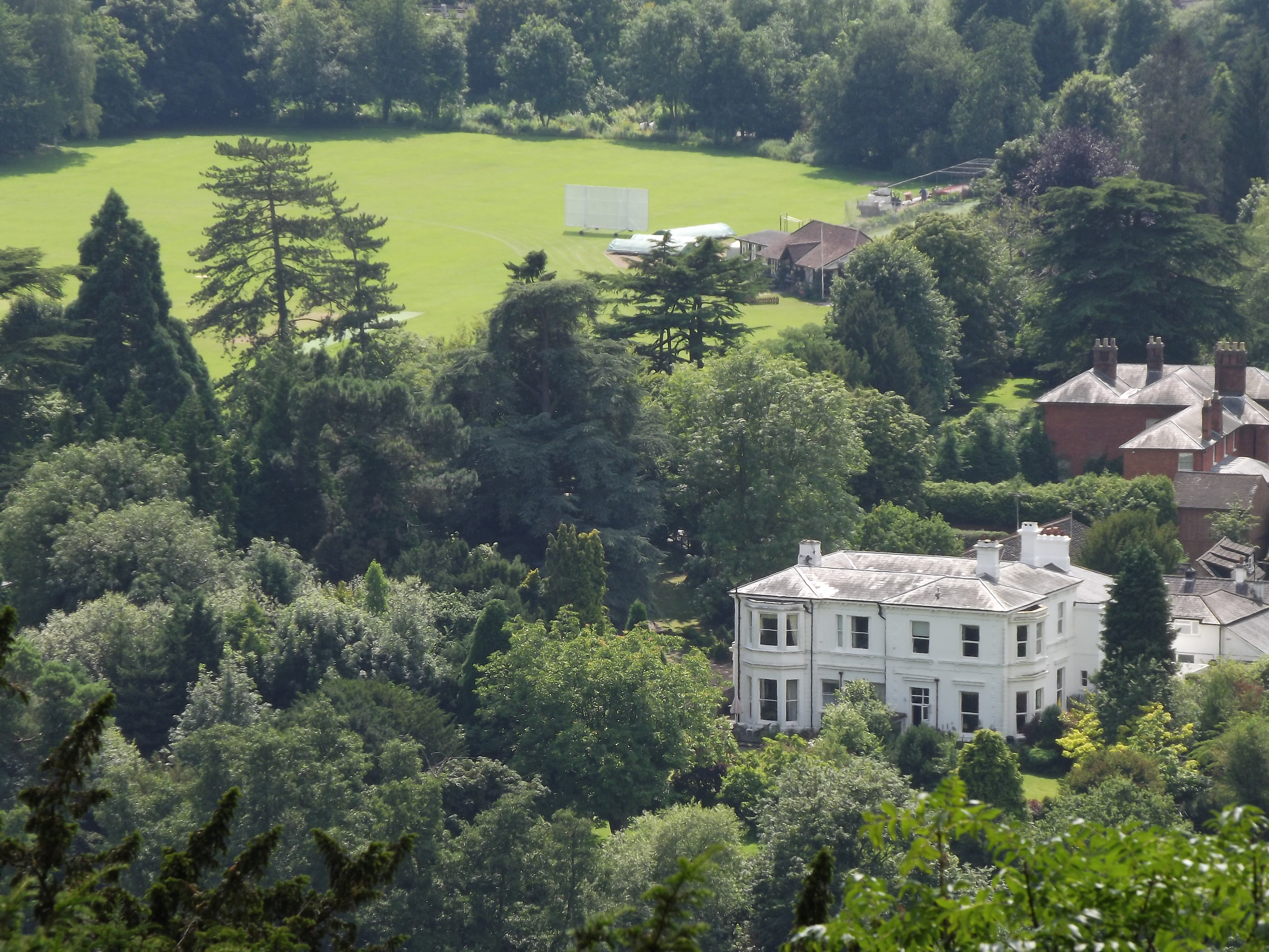
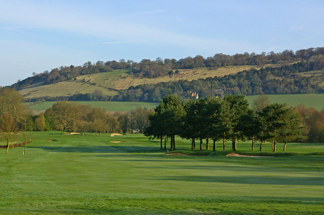
Betchworth Castle Images
Images are sourced within 2km of 51.24/-0.288 or Grid Reference TQ1950. Thanks to Geograph Open Source API. All images are credited.


Betchworth Castle is located at Grid Ref: TQ1950 (Lat: 51.24, Lng: -0.288)
What 3 Words
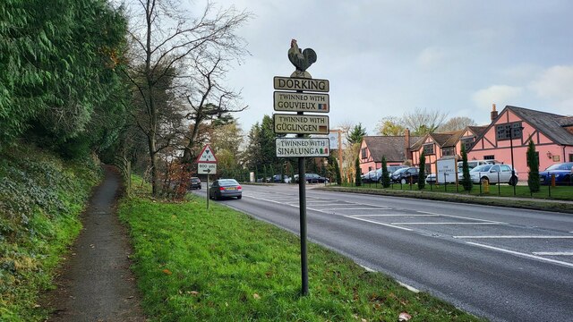
///tops.wounds.front. Near Dorking, Surrey
Nearby Locations
Related Wikis
Betchworth Castle
Betchworth Castle is a mostly crumbled ruin of a fortified medieval stone house with some tall, two-storey corners strengthened in the 18th century, in...

Brockham
Brockham is a village and civil parish in the Mole Valley district of Surrey, England. It is approximately 1.5 miles (2.4 km) east of Dorking and 4 miles...
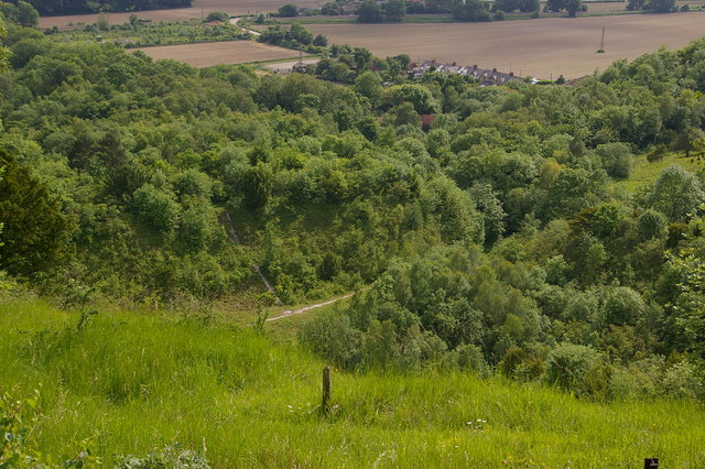
Brockham Limeworks
Brockham Limeworks is a 45-hectare (110-acre) nature reserve north of Brockham in Surrey. It is owned by Surrey County Council. Part of it is a Scheduled...
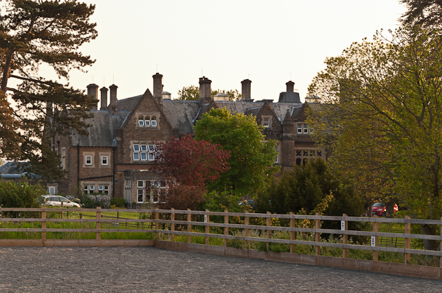
Hartsfield Manor
Hartsfield Manor is an early Victorian house of historical significance located in Betchworth, Surrey, England. It was built in the 1860s as a private...
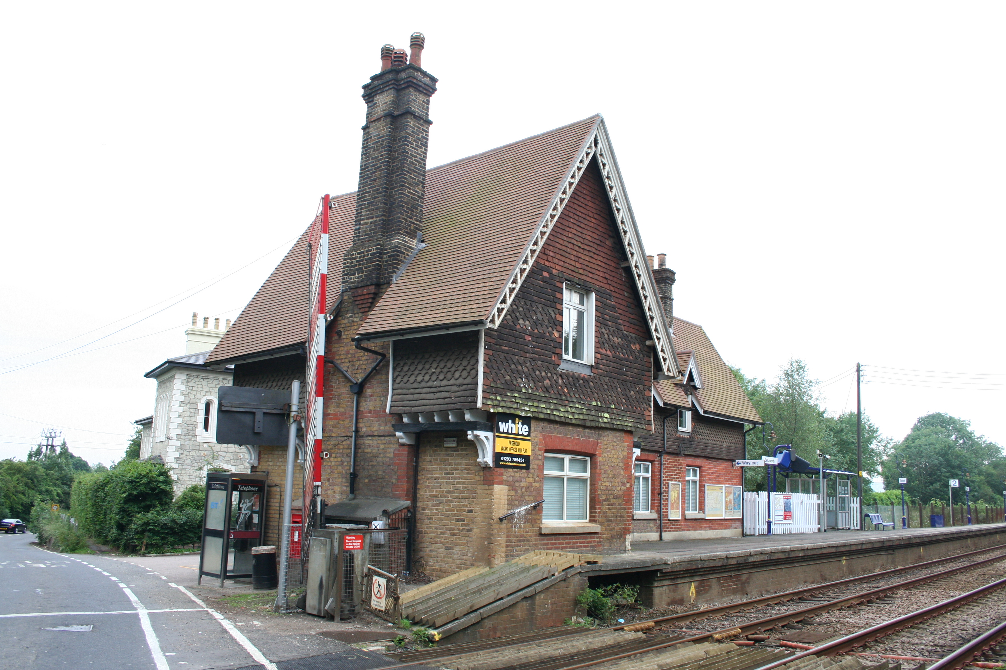
Betchworth railway station
Betchworth railway station serves the village of Betchworth in Surrey, England. It is on the North Downs Line, 27 miles 17 chains (27.21 miles, 43.79 km...

Betchworth
Betchworth is a village and civil parish in the Mole Valley district of Surrey, England. The village centre is on the north bank of the River Mole and...
Pixham
Pixham is a chapelry (small village) within the parish of Dorking, Surrey on the near side of the confluence of the River Mole and the Pipp Brook to its...
Box Hill, Surrey
Box Hill is a summit of the North Downs in Surrey, approximately 31 km (19 mi) south-west of London. The hill gets its name from the ancient box woodland...
Nearby Amenities
Located within 500m of 51.24,-0.288Have you been to Betchworth Castle?
Leave your review of Betchworth Castle below (or comments, questions and feedback).