Berry Castle
Heritage Site in Somerset Somerset West and Taunton
England
Berry Castle
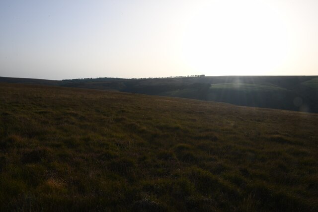
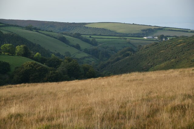
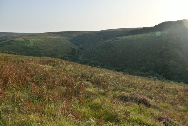
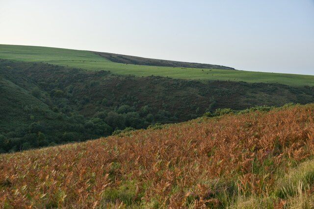
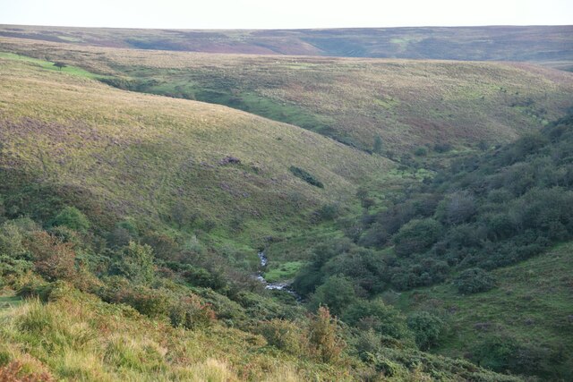
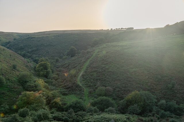
Berry Castle is an ancient hillfort located in the county of Somerset, England. This heritage site holds great historical significance and offers visitors a glimpse into the Iron Age period. The fort is situated at the top of a steep hill, providing stunning panoramic views of the surrounding countryside.
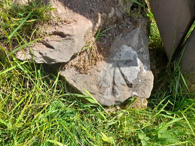
The hillfort itself consists of a series of earthworks and ramparts, which were constructed around 300 BC. These defensive structures were built to protect the settlement and its inhabitants from potential threats. The fort covers an area of approximately 3.5 hectares and is surrounded by a double bank and ditch system.
Archaeological excavations have unearthed numerous artifacts at Berry Castle, including pottery fragments, iron tools, and evidence of domestic buildings. These findings suggest that the site was once a thriving community with a well-developed agricultural system.
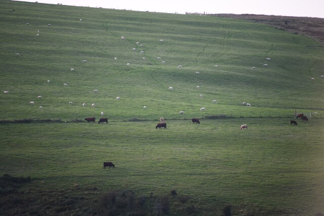
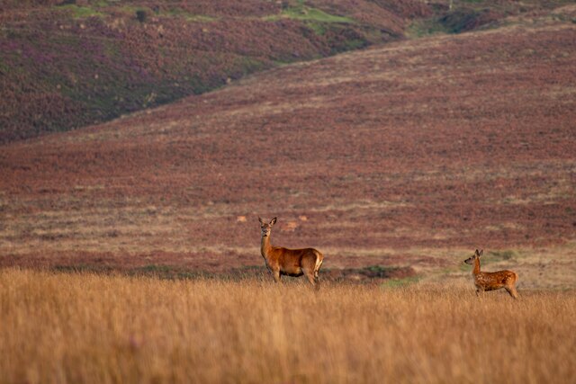
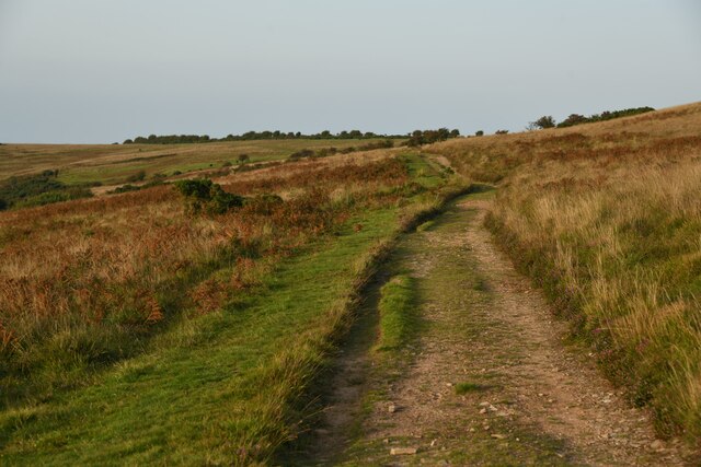
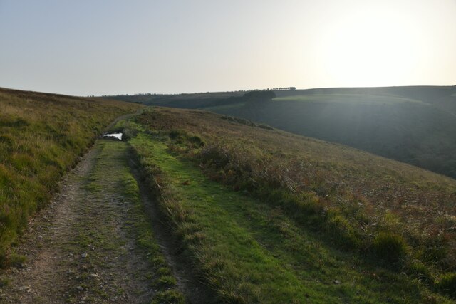
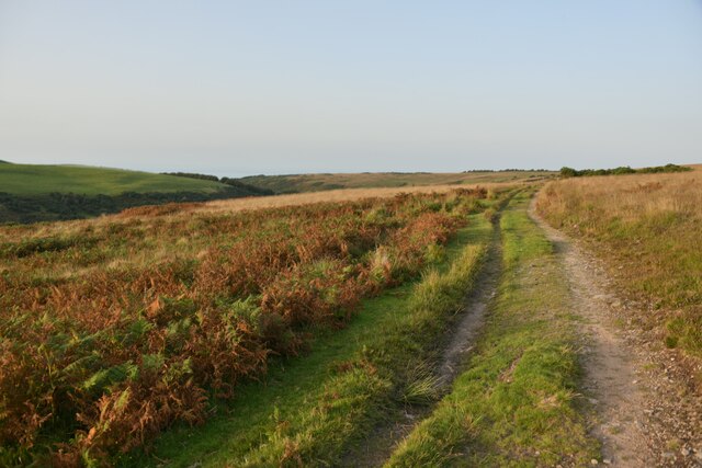
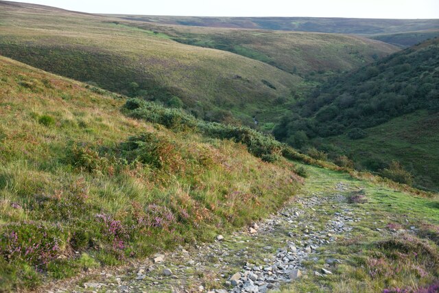
Visitors to Berry Castle can explore the ancient earthworks and walk along the well-preserved ramparts. The site offers a peaceful and scenic setting for a leisurely stroll, with the opportunity to take in the breathtaking views of the Somerset countryside.
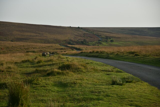
Berry Castle is easily accessible, with a designated parking area and well-marked footpaths leading to the fort. It is a popular destination for history enthusiasts, hikers, and nature lovers alike, offering a unique insight into the region's ancient past.
If you have any feedback on the listing, please let us know in the comments section below.
Berry Castle Images
Images are sourced within 2km of 51.187/-3.638 or Grid Reference SS8544. Thanks to Geograph Open Source API. All images are credited.


Berry Castle is located at Grid Ref: SS8544 (Lat: 51.187, Lng: -3.638)
Administrative County: Somerset
District: Somerset West and Taunton
Police Authority: Avon and Somerset
What 3 Words
///polar.girder.capers. Near Porlock, Somerset
Nearby Locations
Related Wikis

Berry Castle, Somerset
Berry Castle (sometimes known as Berry Camp) is an early Roman (possible Iron Age) hillslope enclosure in the West Somerset district of Somerset, England...

Porlock Stone Circle
Porlock Stone Circle is a stone circle located on Exmoor, near the village of Porlock in the south-western English county of Somerset. The Porlock ring...

Nutscale Reservoir
Nutscale Reservoir is a reservoir located in Exmoor in north west Somerset, England. It supplies the town of Minehead and nearby Porlock and Porlock Weir...

Stoke Pero Church
Stoke Pero Church in Stoke Pero, Somerset, England was built in the 13th century. It is a Grade II* listed building. Standing 1,013 feet (309 meters) above...

Alderman's Barrow
Alderman's Barrow is a bowl barrow on Exmoor. It was created as a burial chamber in the Bronze Age and subsequently became a marker for the boundary of...
Almsworthy Common
Almsworthy Common is a small area of unenclosed land in Exmoor, south-western England. It contains a number of archaeological sites. It is about 2 miles...

Porlock Hill
Porlock Hill is a road west of Porlock, Somerset. It is part of the A39, connecting Porlock to Lynmouth and Barnstaple in Devon and is the steepest A-road...

Hawkcombe Woods
Hawkcombe Woods is a national nature reserve near Porlock on Exmoor, Somerset, England.The 101 hectares (250 acres) woodlands are notable for their lichens...
Have you been to Berry Castle?
Leave your review of Berry Castle below (or comments, questions and feedback).