Blackford Combe
Valley in Somerset Somerset West and Taunton
England
Blackford Combe
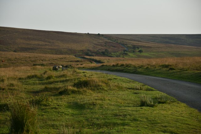
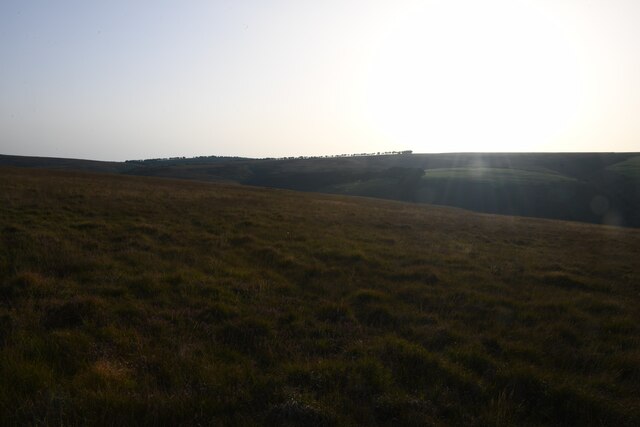
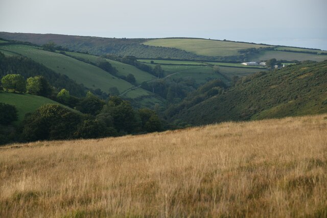
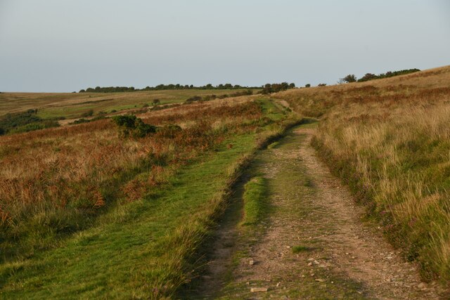
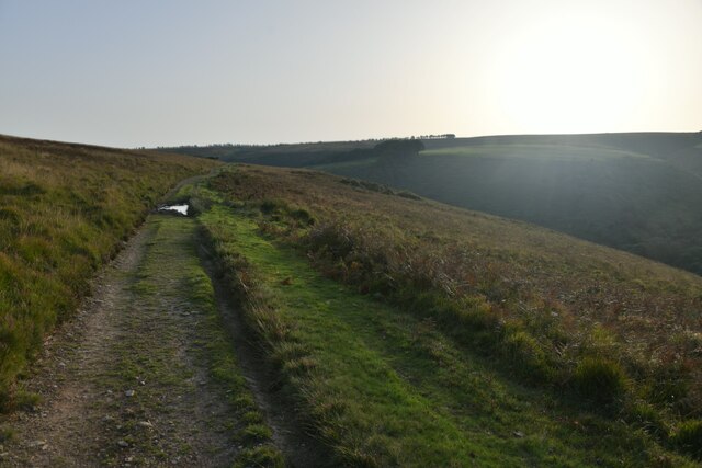
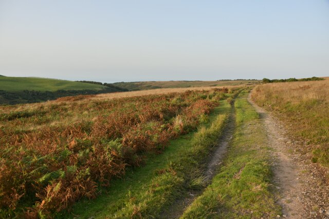
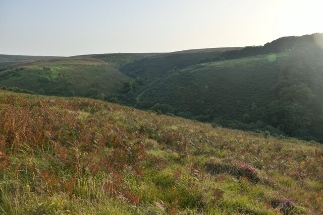
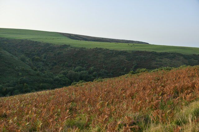
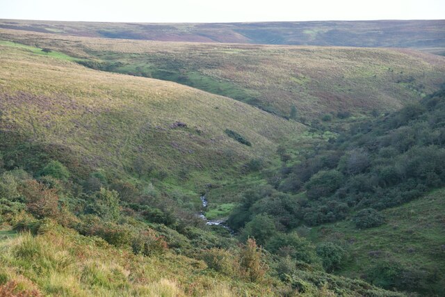
Blackford Combe is a picturesque valley located in Somerset, England. Situated within the Mendip Hills, it is known for its stunning natural beauty and tranquil atmosphere. The combe is situated near the village of Blackford, and is surrounded by rolling green hills, dense woodland, and meandering streams.
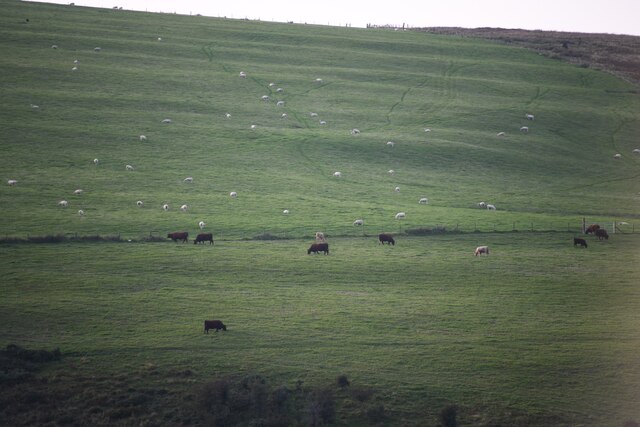
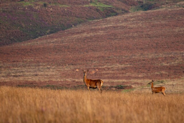
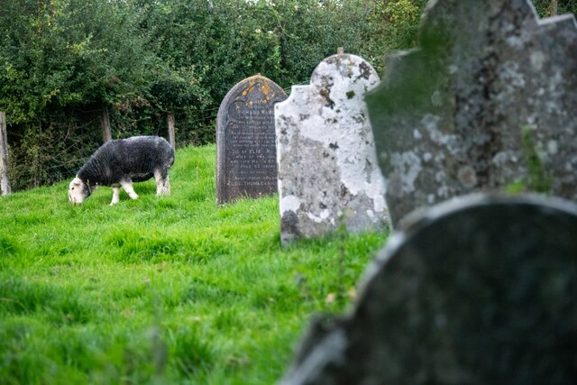
The valley is characterized by its steep sides and narrow shape, creating a sense of intimacy and seclusion. It is a popular destination for nature lovers, hikers, and photographers, who are drawn to its unspoiled landscapes and diverse wildlife. The combe is home to a variety of flora and fauna, including rare orchids, wildflowers, and birds such as buzzards and owls.
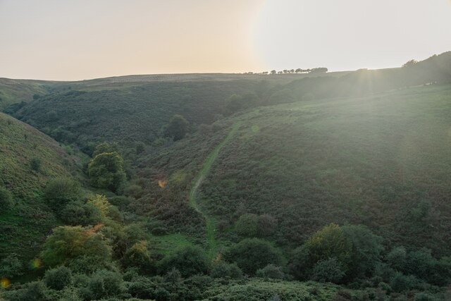
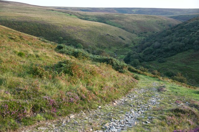
Blackford Combe offers numerous walking trails and footpaths, allowing visitors to explore its natural wonders at their own pace. One of the most popular routes is the Blackford Combe Circular Walk, which takes hikers through the heart of the valley, offering breathtaking views of the surrounding countryside.
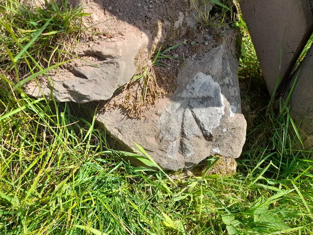
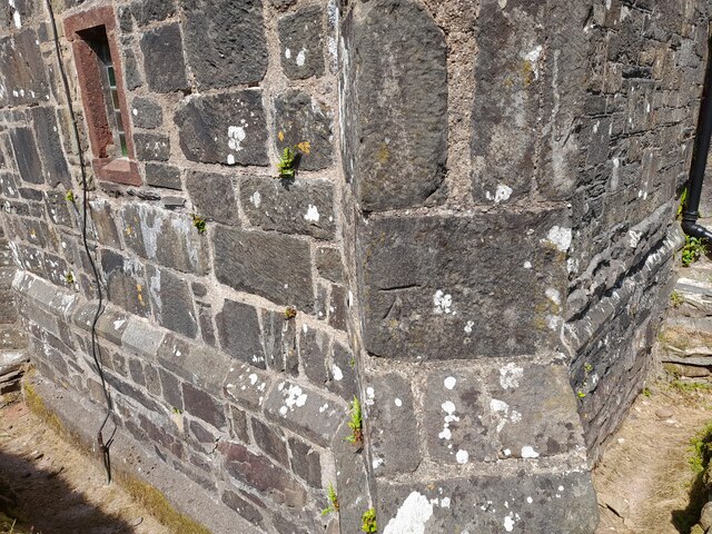
In addition to its natural attractions, Blackford Combe also has historical significance. The remains of ancient settlements and burial mounds can be found in the area, providing a glimpse into the valley's past.
Overall, Blackford Combe is a hidden gem in Somerset, offering a peaceful retreat from the hustle and bustle of everyday life. Its stunning landscapes, diverse wildlife, and rich history make it a must-visit destination for nature enthusiasts and those seeking tranquility in the heart of the Mendip Hills.
If you have any feedback on the listing, please let us know in the comments section below.
Blackford Combe Images
Images are sourced within 2km of 51.183921/-3.6327441 or Grid Reference SS8544. Thanks to Geograph Open Source API. All images are credited.


Blackford Combe is located at Grid Ref: SS8544 (Lat: 51.183921, Lng: -3.6327441)
Administrative County: Somerset
District: Somerset West and Taunton
Police Authority: Avon and Somerset
What 3 Words
///sideboard.dupe.skinning. Near Porlock, Somerset
Nearby Locations
Related Wikis

Nutscale Reservoir
Nutscale Reservoir is a reservoir located in Exmoor in north west Somerset, England. It supplies the town of Minehead and nearby Porlock and Porlock Weir...

Berry Castle, Somerset
Berry Castle (sometimes known as Berry Camp) is an early Roman (possible Iron Age) hillslope enclosure in the West Somerset district of Somerset, England...

Porlock Stone Circle
Porlock Stone Circle is a stone circle located on Exmoor, near the village of Porlock in the south-western English county of Somerset. The Porlock ring...

Stoke Pero Church
Stoke Pero Church in Stoke Pero, Somerset, England was built in the 13th century. It is a Grade II* listed building. Standing 1,013 feet (309 meters) above...

Alderman's Barrow
Alderman's Barrow is a bowl barrow on Exmoor. It was created as a burial chamber in the Bronze Age and subsequently became a marker for the boundary of...
Almsworthy Common
Almsworthy Common is a small area of unenclosed land in Exmoor, south-western England. It contains a number of archaeological sites. It is about 2 miles...

Porlock Hill
Porlock Hill is a road west of Porlock, Somerset. It is part of the A39, connecting Porlock to Lynmouth and Barnstaple in Devon and is the steepest A-road...

Sweetworthy
Sweetworthy is the site of two Iron Age hill forts or enclosures at Luccombe, 4 kilometres (2 mi) south of Porlock, Somerset, England. They are on the...
Have you been to Blackford Combe?
Leave your review of Blackford Combe below (or comments, questions and feedback).