Berain
Heritage Site in Denbighshire
Wales
Berain

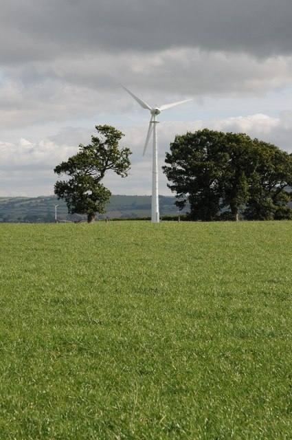
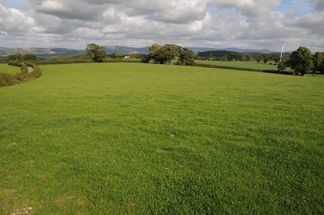
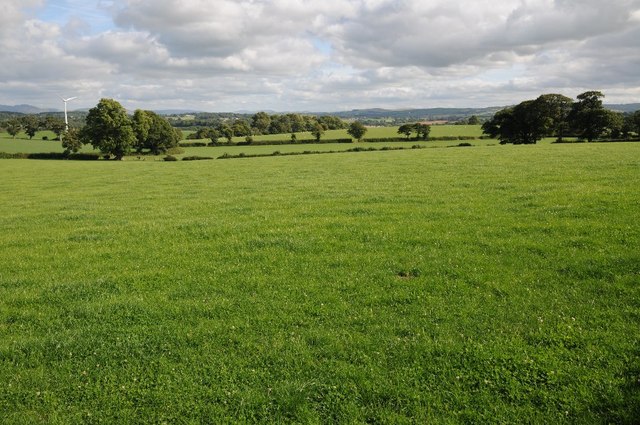
Berain is a small village located in the county of Denbighshire, Wales. It is known for its rich historical and cultural heritage, making it a popular destination for tourists and history enthusiasts. The village is situated in a picturesque rural setting, surrounded by rolling hills and lush green fields.
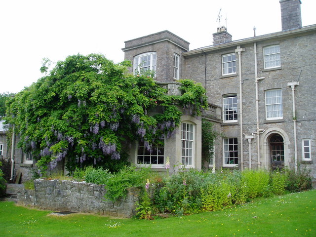
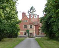
One of the main attractions in Berain is the historic Berain House, a Grade I listed building dating back to the 16th century. This magnificent mansion is renowned for its unique architecture, featuring a mix of Tudor and Jacobean styles. Visitors can explore the house's well-preserved interior, which showcases intricately carved woodwork, impressive fireplaces, and stunning stained glass windows.
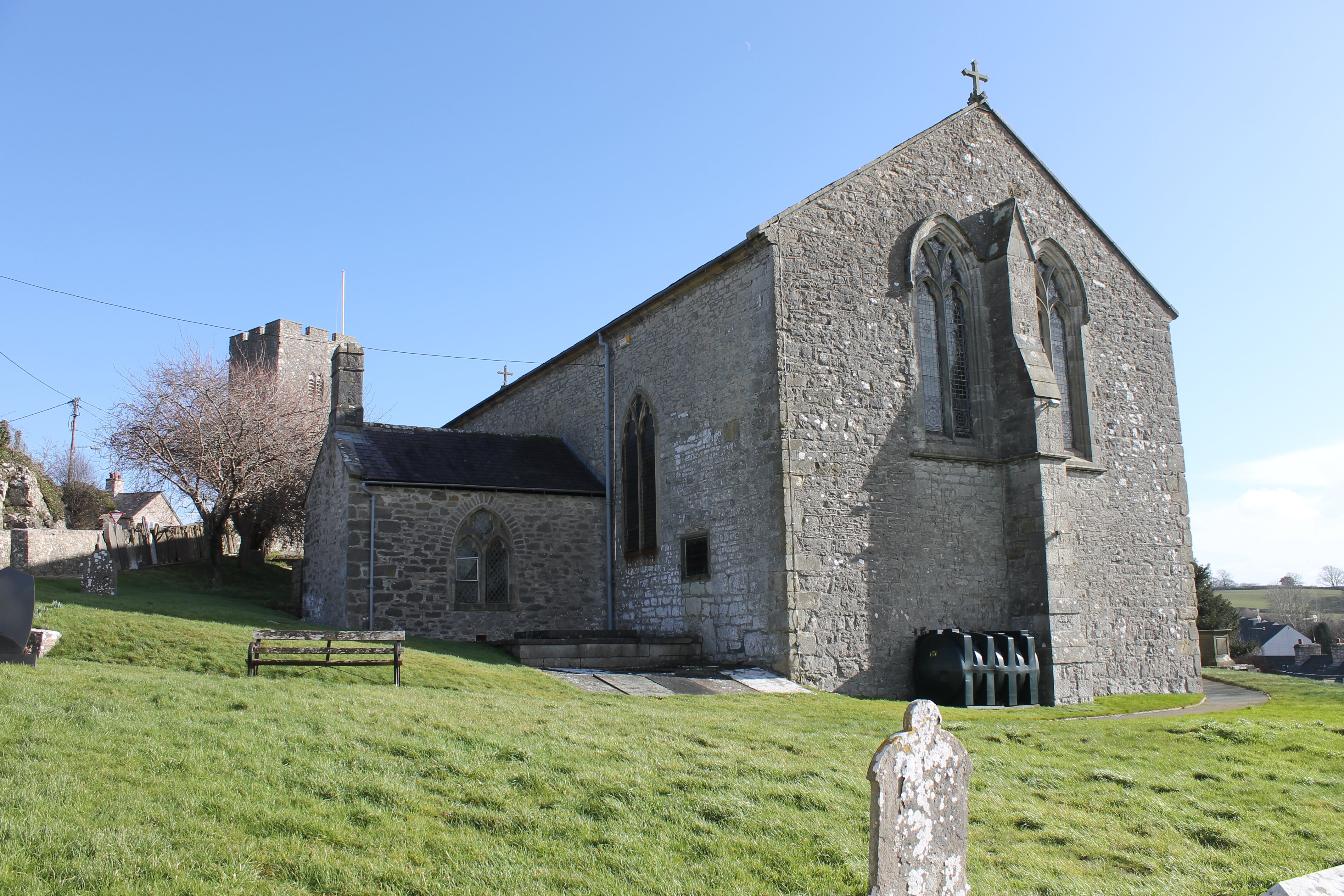
Adjacent to Berain House is the Berain Chapel, a religious site of historical significance. Built in the 17th century, the chapel boasts a charming rustic design and houses a collection of religious artifacts and memorabilia. It is a place of worship and also serves as a venue for community events and concerts.
The village of Berain is also home to several other notable landmarks, including a village church and a historic inn, which offer visitors a glimpse into the area's past. The surrounding countryside provides ample opportunities for outdoor activities such as hiking, cycling, and birdwatching.
Overall, Berain is a captivating heritage site that offers a fascinating insight into the history and culture of Denbighshire. Its well-preserved buildings, beautiful landscape, and tranquil atmosphere make it a must-visit destination for those seeking an immersive historical experience.
If you have any feedback on the listing, please let us know in the comments section below.
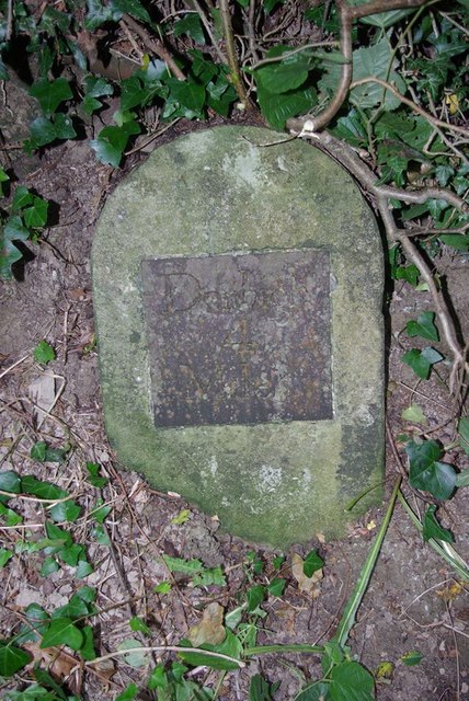
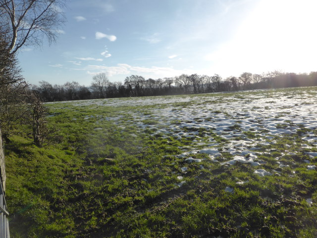
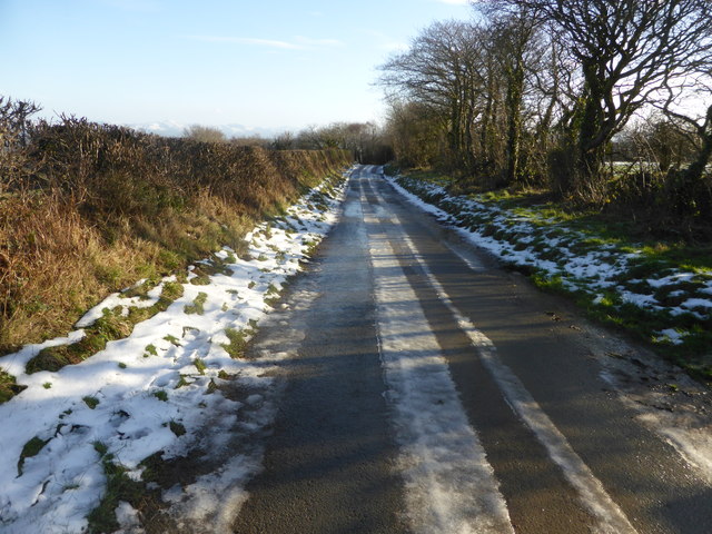
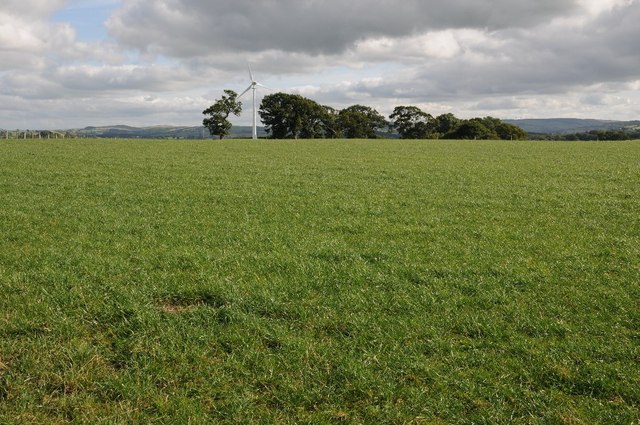
Berain Images
Images are sourced within 2km of 53.213/-3.49 or Grid Reference SJ0069. Thanks to Geograph Open Source API. All images are credited.


Berain is located at Grid Ref: SJ0069 (Lat: 53.213, Lng: -3.49)
What 3 Words
///herring.motored.contained. Near Henllan, Denbighshire
Nearby Locations
Related Wikis

Cefn Caves
Cefn Caves are a group of four interlinked caves in the limestone cliffs of the Elwy valley, north of Denbigh, in Denbighshire, North Wales. Early excavations...

Bontnewydd Palaeolithic site
The Bontnewydd palaeolithic site (Welsh: [bɔntˈnɛuɨ̯ð]), also known in its unmutated form as Pontnewydd (Welsh language: 'New bridge'), is an archaeological...
Galltfaenan Hall
Gallfaenan Hall, also known as Alltvaynan, is a Grade II listed building near to Trefnant and Henllan in Denbighshire, Wales. The site was established...
Henllan
Henllan is a village and community in Denbighshire, Wales with a population of approximately 750 (OfNS/2004) and lies in the countryside, approximately...

Bedd-y-Cawr Hillfort
Bedd-y-Cawr Hillfort, or Bedd y Cawr Hillfort, is an Iron Age hillfort on a natural inland promontory in the community of Cefnmeiriadog in Denbighshire...

Llannefydd
Llannefydd (sometimes Welsh: Llanefydd) is a village and community in Conwy County Borough, in Wales. It is located on the border with Denbighshire, between...
Wigfair Hall
Wigfair Hall is a large country house standing in an elevated position above the River Elwy near the village of Cefn Meiriadog, Denbighshire, Wales. It...

Cefn Meiriadog
Cefn Meiriadog (sometimes Cefnmeriadog) is a rural community in Denbighshire, Wales, just south-west of the city of St Asaph. The boundary of the community...
Nearby Amenities
Located within 500m of 53.213,-3.49Have you been to Berain?
Leave your review of Berain below (or comments, questions and feedback).