Beckbury

Heritage Site in Gloucestershire Cotswold

England

Beckbury

Campden Lane heading towards Stumps Cross The track gives more than just farm access, and links Stumps Cross with Lynes Barn.
Campden Lane heading towards Stumps Cross Credit: Bill Boaden

Beckbury, Gloucestershire is a historic village located in the charming countryside of England. Situated in the county of Gloucestershire, Beckbury is known for its rich heritage and picturesque surroundings. With a population of approximately 500 residents, the village exudes a peaceful and idyllic atmosphere.

One of the main attractions in Beckbury is its beautiful heritage site. This site includes several historical buildings that showcase the village's architectural charm. The centerpiece of the heritage site is the Beckbury Manor, a stunning Elizabethan manor house that dates back to the 16th century. This grand building features intricate Tudor-style timber framing and has been exceptionally preserved.

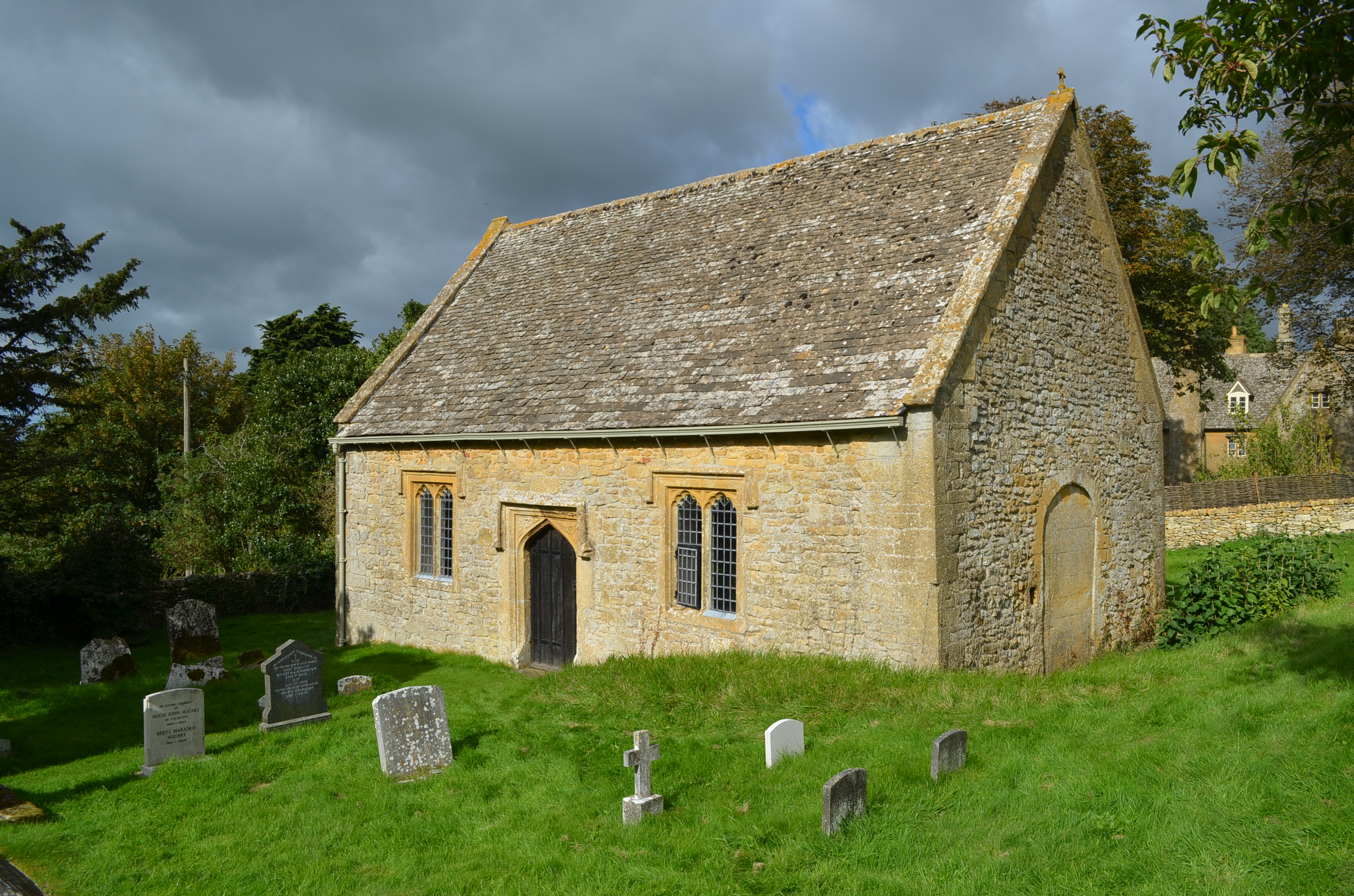
Adjacent to the manor is the picturesque St. Milburga's Church, a Grade II listed building. This 12th-century church boasts remarkable medieval architecture and is dedicated to Saint Milburga, a local saint. The church's interior is adorned with stunning stained glass windows and houses ancient tombs and memorials.

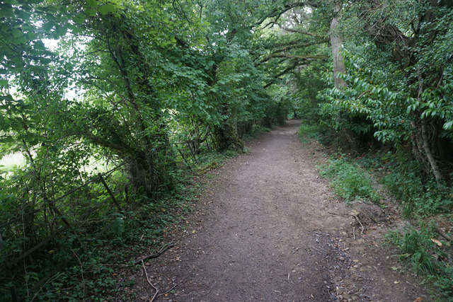
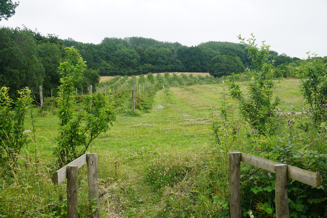
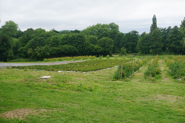
Beckbury also offers visitors the opportunity to explore its surrounding natural beauty. The village is nestled amidst rolling hills and lush green fields, providing ample opportunities for scenic walks and outdoor activities. The nearby Beckbury Trail is a popular route for hikers and nature enthusiasts, offering breathtaking views of the countryside.

In addition to its architectural and natural attractions, Beckbury boasts a vibrant community spirit. The village hosts various events throughout the year, including summer fairs and traditional festivals, allowing visitors to experience the local culture and traditions.

Overall, Beckbury, Gloucestershire is a captivating heritage site that combines historical charm with natural beauty. Its well-preserved buildings, stunning landscapes, and warm community make it a must-visit destination for history buffs and nature lovers alike.

If you have any feedback on the listing, please let us know in the comments section below.
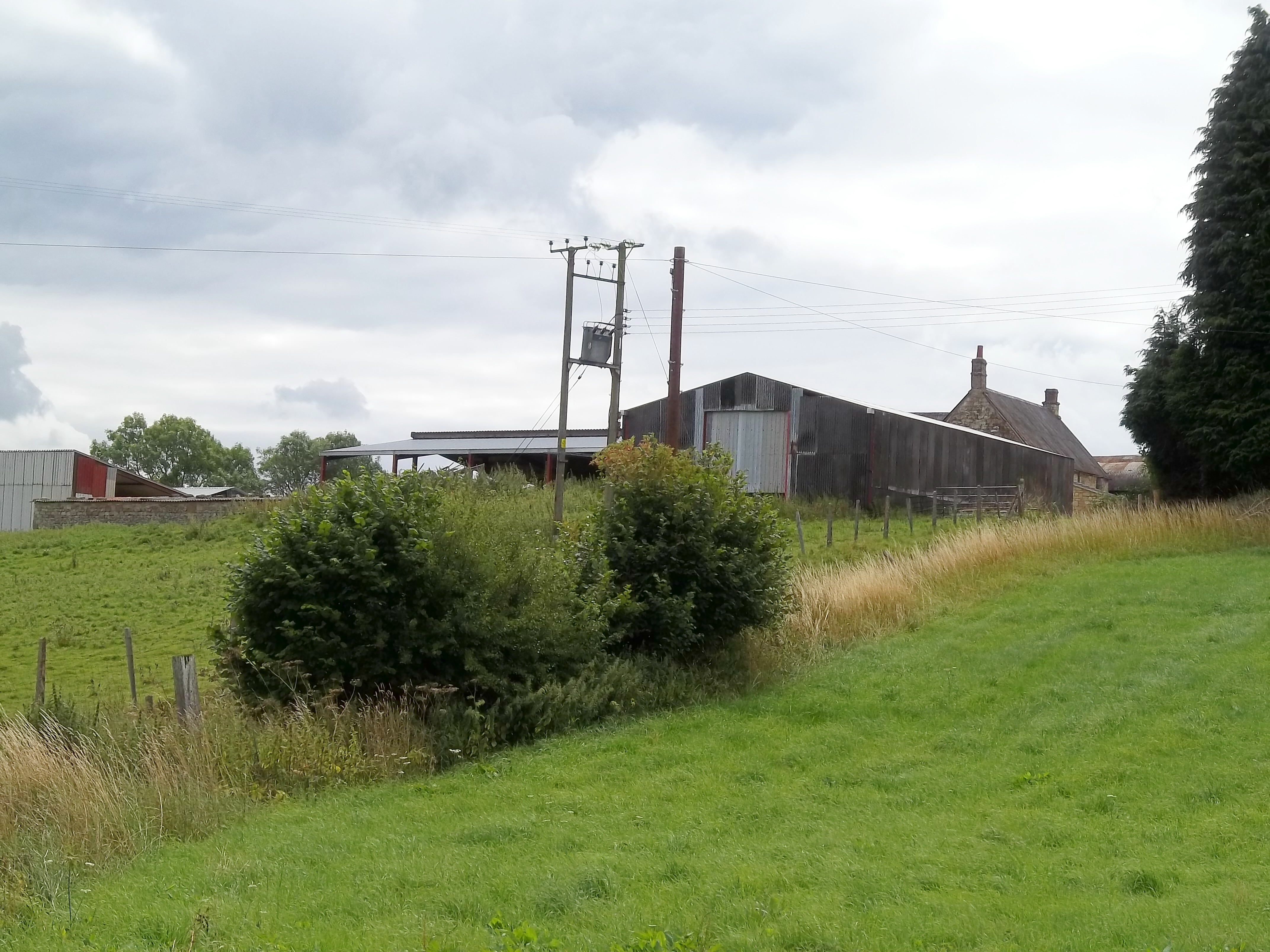
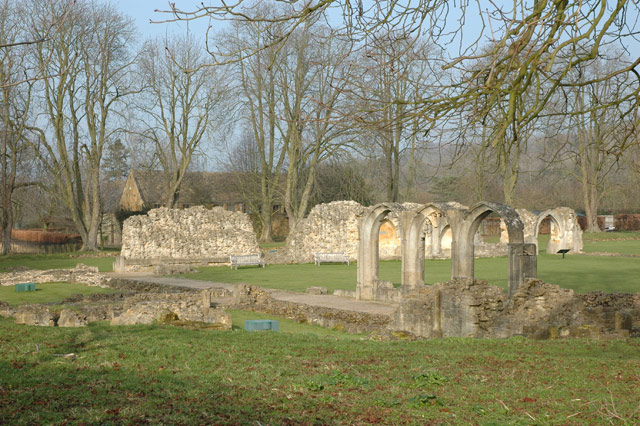
Beckbury Images

Images are sourced within 2km of 51.963/-1.905 or Grid Reference SP0629. Thanks to Geograph Open Source API. All images are credited.

Campden Lane heading towards Stumps Cross The track gives more than just farm access, and links Stumps Cross with Lynes Barn.
Campden Lane heading towards Stumps Cross
The track gives more than just farm access, and links Stumps Cross with Lynes Barn.
From Campden Lane looking towards the top of the hill An unnamed hill with a rounded top, it rises to 951 feet above sea level. There are several higher places in the Cotswolds, but they aren't a lot higher.
From Campden Lane looking towards the top of the hill
An unnamed hill with a rounded top, it rises to 951 feet above sea level. There are several higher places in the Cotswolds, but they aren't a lot higher.
Wheat field above Coscombe Corner Looking down the slope in the direction of Stumps Cross.
Wheat field above Coscombe Corner
Looking down the slope in the direction of Stumps Cross.
Large grassy expanse The plateau at the top of the Cotswolds escarpment. There are not many features, and many of the former field boundaries have been removed.
Large grassy expanse
The plateau at the top of the Cotswolds escarpment. There are not many features, and many of the former field boundaries have been removed.
Avenue of trees near Coscombe Corner The trees here have been recently planted, but they help to form an avenue across the Stanway Estate that starts in the north not far short of Stanton. I don't know how far south it goes.
Avenue of trees near Coscombe Corner
The trees here have been recently planted, but they help to form an avenue across the Stanway Estate that starts in the north not far short of Stanton. I don't know how far south it goes.
Rampart at Beckbury Camp One of a line of Iron Age hillforts along the Cotswold escarpment.
Rampart at Beckbury Camp
One of a line of Iron Age hillforts along the Cotswold escarpment.
Field of sheep near Farmcote These sheep are all the result of cross breeding, and there is a significant amount of Suffolk blood evident.
Field of sheep near Farmcote
These sheep are all the result of cross breeding, and there is a significant amount of Suffolk blood evident.
Track down to Hailes Abbey This route from Farmcote must once have been used by the monks of Hailes Abbey. It now hosts part of the Cotswold Way. Most of the descent is under trees with minimal view.
Track down to Hailes Abbey
This route from Farmcote must once have been used by the monks of Hailes Abbey. It now hosts part of the Cotswold Way. Most of the descent is under trees with minimal view.
Fruit trees at Hayles Fruit Farm The different spelling to the name of the nearby abbey is correct.
Fruit trees at Hayles Fruit Farm
The different spelling to the name of the nearby abbey is correct.
Self pick area at Hayles Fruit Farm A wide variety of fruit is available.
Self pick area at Hayles Fruit Farm
A wide variety of fruit is available.
Archway, Hailes Abbey, near Winchcombe, Glos There is not a lot remaining of the 13th century Cistercian Hailes Abbey. This archway looks towards a trio of isolated arches in the far distance. Presumably they were once windows.
Archway, Hailes Abbey, near Winchcombe, Glos
There is not a lot remaining of the 13th century Cistercian Hailes Abbey. This archway looks towards a trio of isolated arches in the far distance. Presumably they were once windows.
Ruins of Hailes Abbey, near Winchcombe, Glos This Cistercian abbey was founded in the mid-13th century. It was one of the last to be dissolved, being surrendered on Christmas Eve 1539. It was a very prosperous abbey but not a lot remains today.
Ruins of Hailes Abbey, near Winchcombe, Glos
This Cistercian abbey was founded in the mid-13th century. It was one of the last to be dissolved, being surrendered on Christmas Eve 1539. It was a very prosperous abbey but not a lot remains today.
Crossroads near Mawkin Farm
Looking west from The Cotswold Way, near Winchcombe, Gloucestershire  Mixed woodland dominates the landscape in this winter view looking west towards Winchcombe, Gloucestershire, from The Cotswold Way footpath between North Farmcote and Hayles Fruit Farm.
Looking west from The Cotswold Way, near Winchcombe, Gloucestershire
Mixed woodland dominates the landscape in this winter view looking west towards Winchcombe, Gloucestershire, from The Cotswold Way footpath between North Farmcote and Hayles Fruit Farm.
Cromwell's Seat, Beckbury near Hailes The monument is reputed to be the site where Thomas Cromwell watched the destruction of Hailes Abbey in 1539.
Cromwell's Seat, Beckbury near Hailes
The monument is reputed to be the site where Thomas Cromwell watched the destruction of Hailes Abbey in 1539.
On Cotswold Way near Coscombe Corner above Hailes
On Cotswold Way - Campden Lane leading towards Stumps Cross
Lane towards Ford
Lane towards Ford
Show me another place!

Beckbury is located at Grid Ref: SP0629 (Lat: 51.963, Lng: -1.905)

Administrative County: Gloucestershire

District: Cotswold

Police Authority: Gloucestershire

What 3 Words

///agency.minerals.accent. Near Winchcombe, Gloucestershire

Nearby Locations

Beckbury Cromwell's Clump

Related Wikis

Nearby Amenities

Located within 500m of 51.963,-1.905
The data included in this document is from www.openstreetmap.org. The data is made available under ODbL.

Have you been to Beckbury?

Leave your review of Beckbury below (or comments, questions and feedback).