Cromwell's Clump
Wood, Forest in Gloucestershire Cotswold
England
Cromwell's Clump

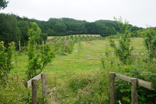
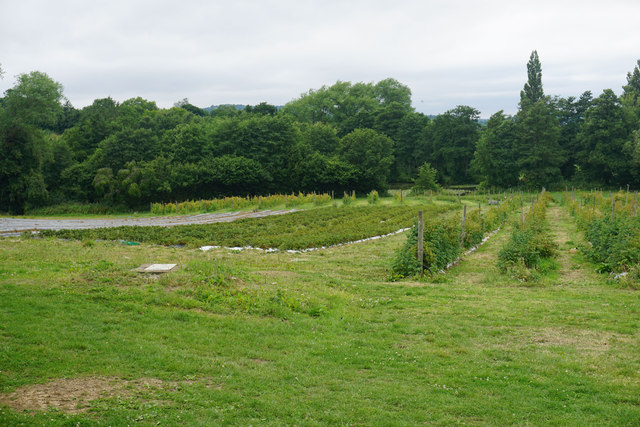
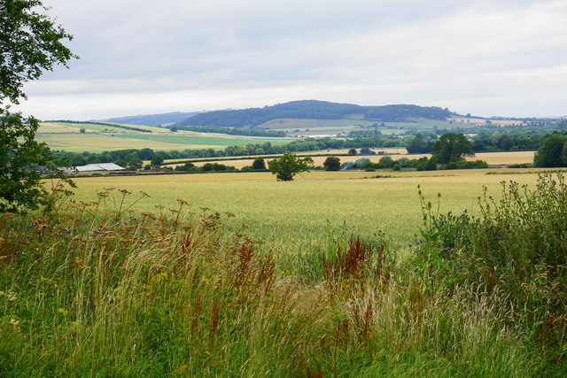
Cromwell's Clump is a picturesque woodland located in the heart of Gloucestershire, England. This expansive forest covers an area of approximately 100 acres and is known for its stunning natural beauty and rich historical significance. The clump is situated near the village of Wood, in close proximity to other notable landmarks such as the Forest of Dean.
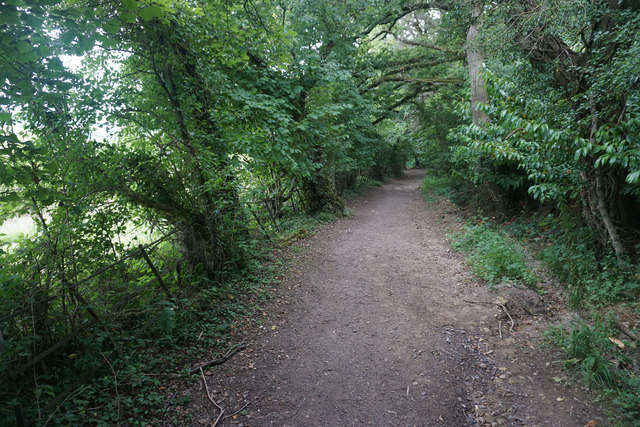
The woodland is primarily composed of a mix of deciduous and coniferous trees, creating a diverse and vibrant landscape. Towering oak, beech, and birch trees dominate the area, providing a dense canopy that allows only dappled sunlight to filter through. This creates a magical ambiance, especially during the autumn months when the forest floor is carpeted with a colorful array of fallen leaves.
Cromwell's Clump derives its name from the historical association with Oliver Cromwell, the English military and political leader who played a significant role during the English Civil War in the 17th century. It is believed that Cromwell used the clump as a vantage point to observe the movements of the Royalist troops during the war.
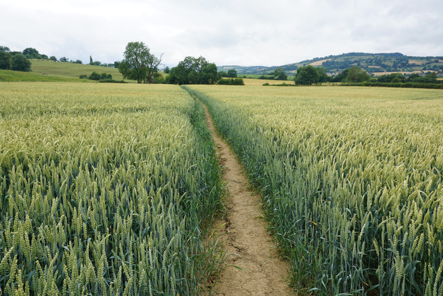
Today, the woodland offers a peaceful retreat for nature enthusiasts and avid walkers. There are several well-maintained footpaths that wind through the clump, providing visitors with an opportunity to explore its natural wonders. The forest is also home to a variety of wildlife, including deer, badgers, and a wide array of bird species, making it a haven for wildlife enthusiasts and birdwatchers alike.
In conclusion, Cromwell's Clump is a captivating woodland in Gloucestershire that offers both natural beauty and historical significance. Its tranquil atmosphere and breathtaking scenery make it a must-visit destination for anyone seeking a peaceful escape in nature.
If you have any feedback on the listing, please let us know in the comments section below.
Cromwell's Clump Images
Images are sourced within 2km of 51.968071/-1.9097372 or Grid Reference SP0629. Thanks to Geograph Open Source API. All images are credited.


Cromwell's Clump is located at Grid Ref: SP0629 (Lat: 51.968071, Lng: -1.9097372)
Administrative County: Gloucestershire
District: Cotswold
Police Authority: Gloucestershire
What 3 Words
///tweezers.hurtles.refrain. Near Winchcombe, Gloucestershire
Nearby Locations
Related Wikis

Church of St Mary, Temple Guiting
The Anglican Church of St Mary at Temple Guiting in the Cotswold District of Gloucestershire, England was built in the 12th century. It is a grade I listed...

Farmcote Grange
Farmcote Grange was a medieval monastic grange at Farmcote in Gloucestershire, England. It was a grange of Hailes Abbey. == References ==
Farmcote
Farmcote is a hamlet in the Cotswolds in Gloucestershire, England. It lies 2 miles (3.2 km) east of the town of Winchcombe and 2 miles (3.2 km) west of...
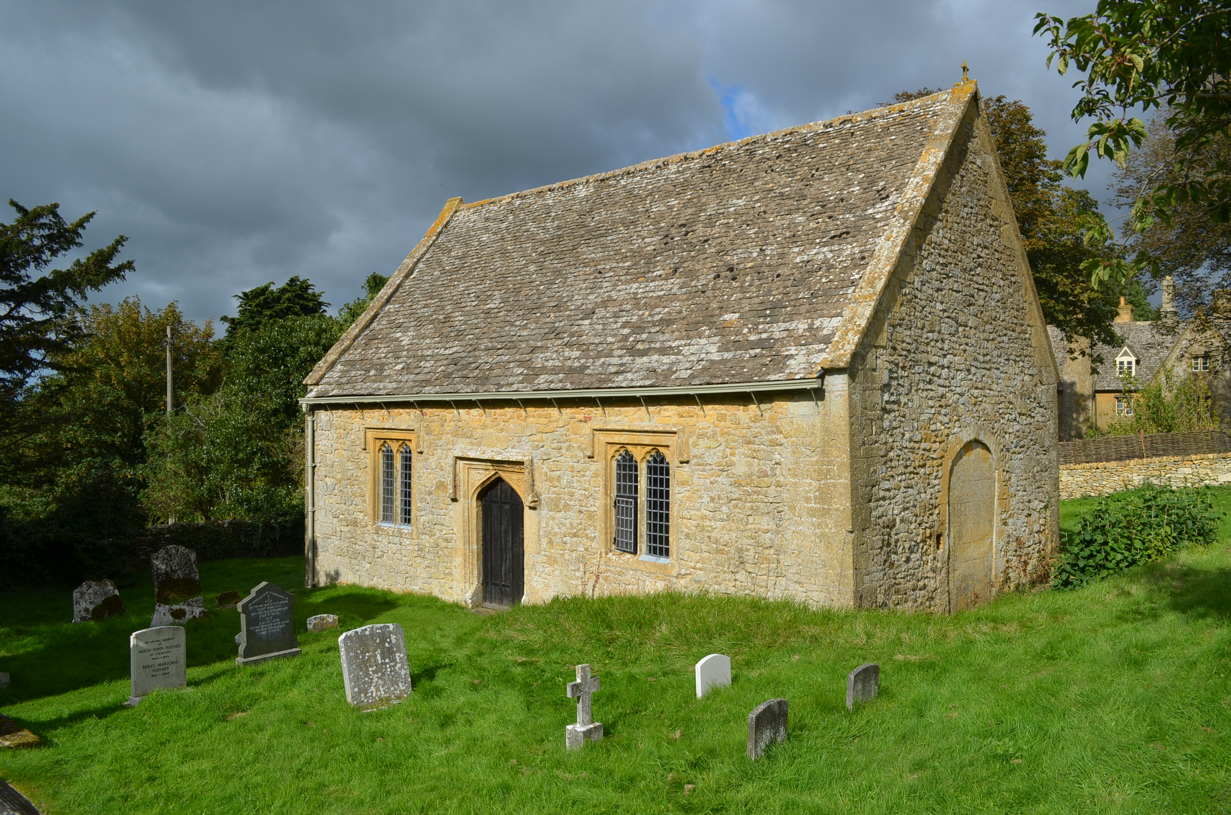
St Faith, Farmcote
St Faith, Farmcote is a chapel of ease in Farmcote, Gloucestershire, two miles west-north-west of Temple Guiting. It has been designated by English Heritage...
Hailes Castle, Gloucestershire
Hailes Castle was a castle in the village of Hailes in Gloucestershire, England. The castle was built around the 11th or early 12th century near the church...

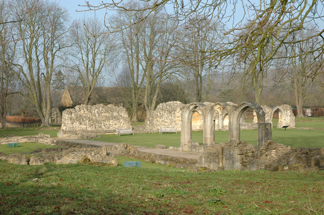
Hailes Abbey
Hailes Abbey is a former Cistercian abbey, in the small village of Hailes, two miles northeast of Winchcombe, Gloucestershire, England. It was founded...

Hailes, Gloucestershire
Hailes (also spelt Hayles) is a small village and former civil parish, now in the parish of Stanway, in the Tewkesbury district, in Gloucestershire, England...

Didbrook
Didbrook is a small village and former civil parish, now in the parish of Stanway, in the Tewkesbury district, in Gloucestershire, England, 8 miles (13...
Nearby Amenities
Located within 500m of 51.968071,-1.9097372Have you been to Cromwell's Clump?
Leave your review of Cromwell's Clump below (or comments, questions and feedback).