Battle Ring

Heritage Site in Cornwall

England

Battle Ring

St Paternus's Church
St Paternus's Church Credit: Paul Barnett

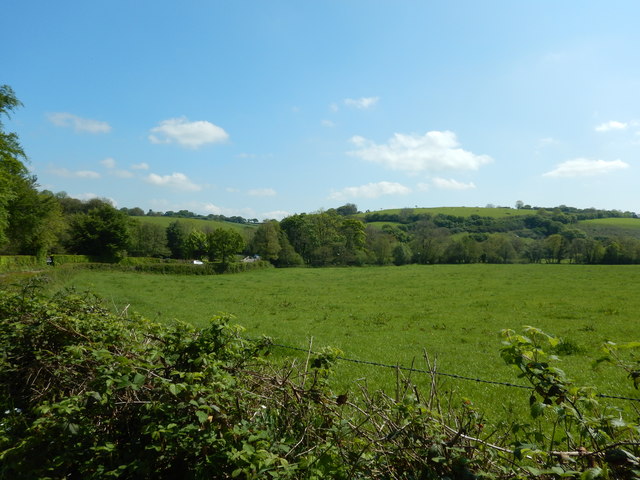
Battle Ring, Cornwall is a historically significant heritage site located in the southwestern region of England. It is situated near the village of St. Breward, within the Bodmin Moor Area of Outstanding Natural Beauty. This ancient monument consists of a circular earthwork enclosure, believed to date back to the Late Neolithic or Early Bronze Age period.

The Battle Ring is approximately 65 meters in diameter, and the earthworks are composed of a bank and ditch construction. The bank stands at around 2 meters high, while the ditch is about 1 meter deep. The site has been well-preserved, providing visitors with a unique glimpse into the ancient past.

The exact purpose of the Battle Ring remains uncertain, as no definitive archaeological evidence has been found to suggest its function. However, it is widely believed to have served as a defensive structure or possibly a gathering place for ceremonial or religious activities. Its location on the moorland suggests a strategic significance, possibly in relation to trade routes or territorial control.

Visitors to Battle Ring are able to explore the site and walk along the circular earthworks, gaining an appreciation for the historical and cultural significance of this ancient monument. The surrounding landscape offers picturesque views, with the moorland providing a rugged and wild backdrop. Interpretive panels and information boards are available on-site to provide visitors with further insights into the history and significance of the Battle Ring.

In conclusion, Battle Ring, Cornwall is a fascinating heritage site that offers a glimpse into the ancient past of the region. With its well-preserved earthworks and picturesque surroundings, it is a must-visit destination for history enthusiasts and those seeking to connect with the rich heritage of Cornwall.

If you have any feedback on the listing, please let us know in the comments section below.
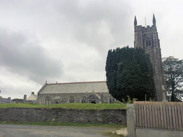
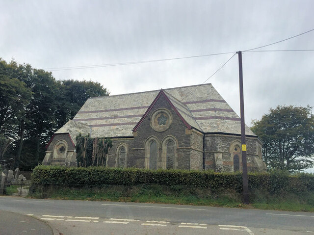
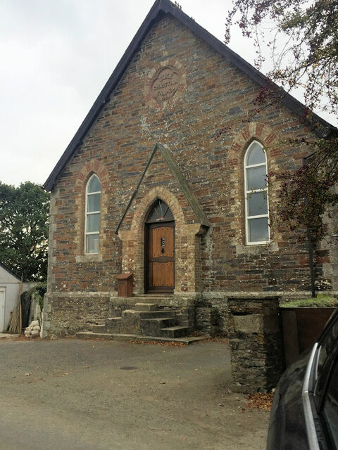
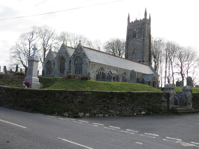
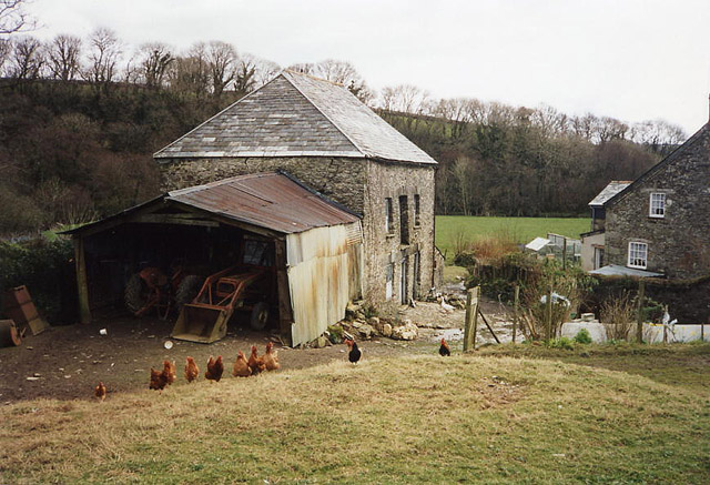
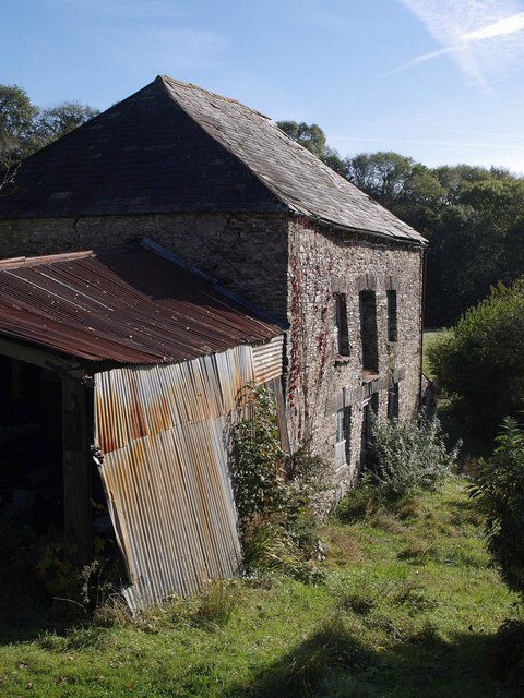
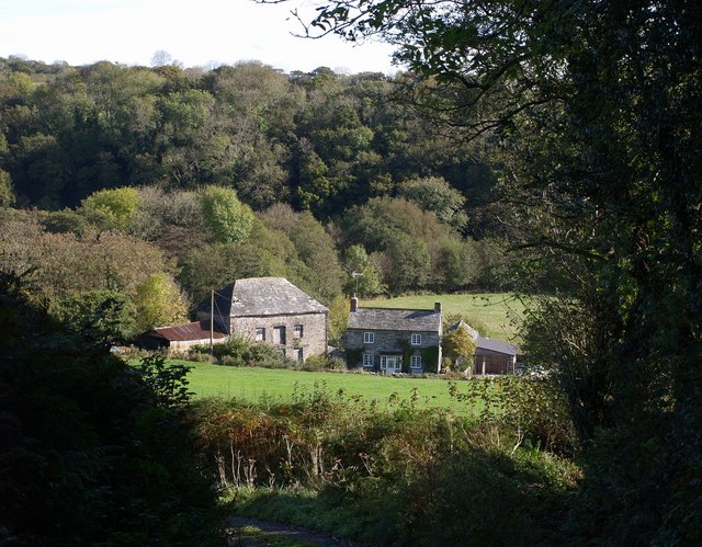
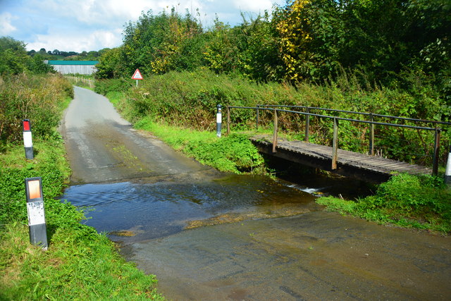
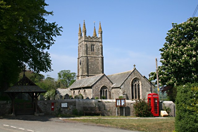
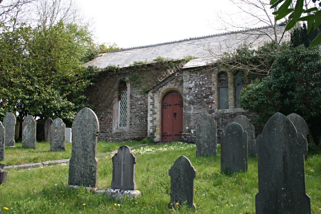
Battle Ring Images

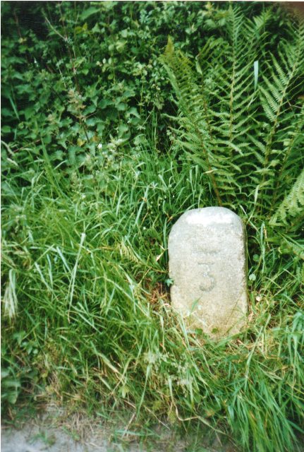
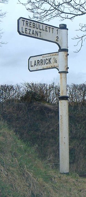
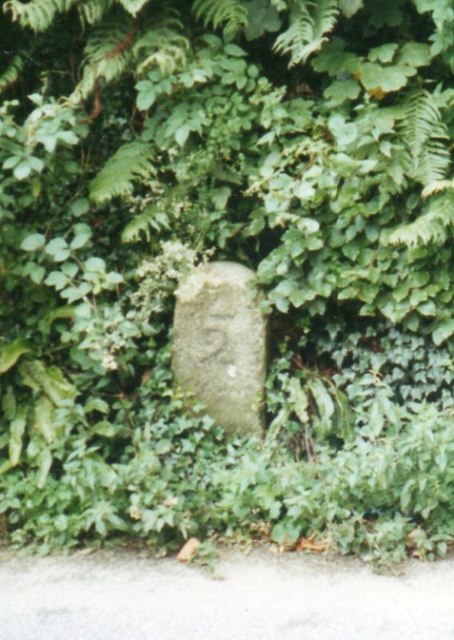
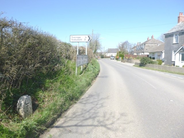
Images are sourced within 2km of 50.6/-4.382 or Grid Reference SX3180. Thanks to Geograph Open Source API. All images are credited.

St Paternus's Church
South Petherwin Methodist Church
Former Bible Christian Chapel
The Church of St Paternus at South Petherwin Viewed from the north-east.
The Church of St Paternus at South Petherwin
Viewed from the north-east.
Old Milestone by the B3254, Trecrogo Lane End Carved stone post by the B3254, in parish of SOUTH PETHERWIN (NORTH CORNWALL District), Trecrogo turn; opposite Endlea Cottage (toll house?) with catslide roof, by the road, on West side of road. Launceston pillar, erected by the Launceston turnpike trust in the 18th century. 

Inscription reads:-
L
3 

Grade II Listed. List Entry Number: 1392044
<span class="nowrap"><a title="https://historicengland.org.uk/listing/the-list/list-entry/1392044" rel="nofollow ugc noopener" href="https://historicengland.org.uk/listing/the-list/list-entry/1392044">Link</a><img style="margin-left:2px;" alt="External link" title="External link - shift click to open in new window" src="https://s1.geograph.org.uk/img/external.png" width="10" height="10"/></span>

Milestone Society National ID: CW_LALK03.
Old Milestone by the B3254, Trecrogo Lane End
Carved stone post by the B3254, in parish of SOUTH PETHERWIN (NORTH CORNWALL District), Trecrogo turn; opposite Endlea Cottage (toll house?) with catslide roof, by the road, on West side of road. Launceston pillar, erected by the Launceston turnpike trust in the 18th century. Inscription reads:- L 3 Grade II Listed. List Entry Number: 1392044 LinkExternal link Milestone Society National ID: CW_LALK03.
Old Direction Sign - Signpost north east of Higher Larrick, Lezant Parish No finial - 2 arms; by the UC road, in parish of Lezant (North Cornwall District), Higher Larrick, between fork in road.

To be surveyed

Milestone Society National ID: CW_SX3178.
Old Direction Sign - Signpost north east of Higher Larrick, Lezant Parish
No finial - 2 arms; by the UC road, in parish of Lezant (North Cornwall District), Higher Larrick, between fork in road. To be surveyed Milestone Society National ID: CW_SX3178.
Old Milestone by the B3254, East Petherwin Launceston pillar by the B3254, in parish of South Petherwin (North Cornwall District), East Petherwin, 130m North East of the vicarage, in rock cutting, set in niche.

Inscription reads:-
L
2
(To Launceston)

Lost since 1970 

(Grade II listed) List Entry Number: 1303507
<span class="nowrap"><a title="https://historicengland.org.uk/listing/the-list/list-entry/1303507" rel="nofollow ugc noopener" href="https://historicengland.org.uk/listing/the-list/list-entry/1303507">Link</a><img style="margin-left:2px;" alt="External link" title="External link - shift click to open in new window" src="https://s1.geograph.org.uk/img/external.png" width="10" height="10"/></span>

Milestone Society National ID: CW_LALK02
Old Milestone by the B3254, East Petherwin
Launceston pillar by the B3254, in parish of South Petherwin (North Cornwall District), East Petherwin, 130m North East of the vicarage, in rock cutting, set in niche. Inscription reads:- L 2 (To Launceston) Lost since 1970 (Grade II listed) List Entry Number: 1303507 LinkExternal link Milestone Society National ID: CW_LALK02
Old Milestone by the B3254, Trecrogo Lane End Carved stone post by the B3254, in parish of SOUTH PETHERWIN (NORTH CORNWALL District), Trecrogo turn; opposite Endlea Cottage (toll house?) with catslide roof, by the road, on West side of road. Launceston pillar, erected by the Launceston turnpike trust in the 18th century. 

Inscription reads:-
L
3 

Grade II listed. 
List Entry Number: 1392044 <span class="nowrap"><a title="https://historicengland.org.uk/listing/the-list/list-entry/1392044" rel="nofollow ugc noopener" href="https://historicengland.org.uk/listing/the-list/list-entry/1392044">Link</a><img style="margin-left:2px;" alt="External link" title="External link - shift click to open in new window" src="https://s1.geograph.org.uk/img/external.png" width="10" height="10"/></span>

Milestone Society National ID: CW_LALK03.
Old Milestone by the B3254, Trecrogo Lane End
Carved stone post by the B3254, in parish of SOUTH PETHERWIN (NORTH CORNWALL District), Trecrogo turn; opposite Endlea Cottage (toll house?) with catslide roof, by the road, on West side of road. Launceston pillar, erected by the Launceston turnpike trust in the 18th century. Inscription reads:- L 3 Grade II listed. List Entry Number: 1392044 LinkExternal link Milestone Society National ID: CW_LALK03.
Lewannick: Trelaske Mill Private property but viewed from the lane that runs past. The long leat – well over a mile in length – that served the mill has been ploughed out but the building retains its machinery
Lewannick: Trelaske Mill
Private property but viewed from the lane that runs past. The long leat – well over a mile in length – that served the mill has been ploughed out but the building retains its machinery
Trelaske Mill Not a great deal has changed since <a href="https://www.geograph.org.uk/photo/62603">SX2980 : Lewannick: Trelaske Mill</a> was taken in March 1995.
Trelaske Mill
Not a great deal has changed since SX2980 : Lewannick: Trelaske Mill was taken in March 1995.
Trelaske Mill <a href="https://www.geograph.org.uk/photo/589557">SX2980 : Trelaske Mill</a> and the adjacent farmhouse seen from the steep lane from Trelaske House. The buildings are in the valley of the River Inny. On the eastern slope is Honiton Wood.
Trelaske Mill
SX2980 : Trelaske Mill and the adjacent farmhouse seen from the steep lane from Trelaske House. The buildings are in the valley of the River Inny. On the eastern slope is Honiton Wood.
Trekelland Ford This ford is found on a tributary of the River Inny.
Trekelland Ford
This ford is found on a tributary of the River Inny.
Field next to River Inny near Trekelland Bridge
Trelaske Lodge Situated like a gatehouse but seems to be only a country dwelling close to the road.
Trelaske Lodge
Situated like a gatehouse but seems to be only a country dwelling close to the road.
Old Milestone by the B3254 Carved stone post by the B3254, in parish of LEWANNICK (NORTH CORNWALL District), Trelelland Bridge, opposite Lodge Cottage, on bend, set into stone wall, on East side of road. Liskeard iii stone, erected by the Local Highways Board in the 19th century. 

Inscription reads:-
LAUNCESTON
4
LISKEARD
11 iii 

Grade II Listed. List Entry Number: 1277636
<span class="nowrap"><a title="https://historicengland.org.uk/listing/the-list/list-entry/1277636" rel="nofollow ugc noopener" href="https://historicengland.org.uk/listing/the-list/list-entry/1277636">Link</a><img style="margin-left:2px;" alt="External link" title="External link - shift click to open in new window" src="https://s1.geograph.org.uk/img/external.png" width="10" height="10"/></span>

Milestone Society National ID: CW_LALK04.
Old Milestone by the B3254
Carved stone post by the B3254, in parish of LEWANNICK (NORTH CORNWALL District), Trelelland Bridge, opposite Lodge Cottage, on bend, set into stone wall, on East side of road. Liskeard iii stone, erected by the Local Highways Board in the 19th century. Inscription reads:- LAUNCESTON 4 LISKEARD 11 iii Grade II Listed. List Entry Number: 1277636 LinkExternal link Milestone Society National ID: CW_LALK04.
Old Milestone by the B3254 Carved stone post by the B3254, in parish of LEWANNICK (NORTH CORNWALL District), Trekelland Bridge, opposite Lodge Cottage, on bend, set into stone wall, on East side of road. Liskeard 'iii' stone, erected by the Local Highways Board in the 19th century. 

Inscription reads:-
LAUNCESTON
4
LISKEARD
11iii 

Grade II listed. 
List Entry Number: 1277636 <span class="nowrap"><a title="https://historicengland.org.uk/listing/the-list/list-entry/1277636" rel="nofollow ugc noopener" href="https://historicengland.org.uk/listing/the-list/list-entry/1277636">Link</a><img style="margin-left:2px;" alt="External link" title="External link - shift click to open in new window" src="https://s1.geograph.org.uk/img/external.png" width="10" height="10"/></span>

Milestone Society National ID: CW_LALK04.
Old Milestone by the B3254
Carved stone post by the B3254, in parish of LEWANNICK (NORTH CORNWALL District), Trekelland Bridge, opposite Lodge Cottage, on bend, set into stone wall, on East side of road. Liskeard 'iii' stone, erected by the Local Highways Board in the 19th century. Inscription reads:- LAUNCESTON 4 LISKEARD 11iii Grade II listed. List Entry Number: 1277636 LinkExternal link Milestone Society National ID: CW_LALK04.
South Petherwin Church South Petherwin Church is dedicated to St. Paternus (Padern).
South Petherwin Church
South Petherwin Church is dedicated to St. Paternus (Padern).
South Petherwin Chapel South Petherwin chapel has a small graveyard.
South Petherwin Chapel
South Petherwin chapel has a small graveyard.
Show me another place!

Battle Ring is located at Grid Ref: SX3180 (Lat: 50.6, Lng: -4.382)

Unitary Authority: Cornwall

Police Authority: Devon and Cornwall

What 3 Words

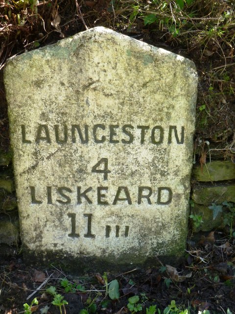
///tycoons.winemaker.reserve. Near Launceston, Cornwall

Nearby Locations

Battle Ring

Related Wikis

South Petherwin

South Petherwin (Cornish: Paderwynn Dheghow) is a village and civil parish in east Cornwall, England, United Kingdom. It is in the Registration District...

Larrick

Larrick is a hamlet in the parish of Lezant (where the population of the 2011 census was included.), Cornwall, England. == References ==

Daw's House

Daw's House is a hamlet in the parish of South Petherwin, Cornwall, England, on the outskirts of the significant town of Launceston. == References ==

Trebullett

Trebullett is a hamlet in Cornwall, England, United Kingdom. It is about one mile west of Lezant. Another hamlet, Lower Trebullett, is further south....

Lezant

Lezant (Cornish: Lannsant) is a civil parish and village in east Cornwall, England, United Kingdom. Lezant village is about five miles (8 kilometres) south...

Little Comfort

Little Comfort is a hamlet in the parish of Lezant in east Cornwall, England, UK. Little Comfort is on the A388 road approximately 2.5 miles (4.0 km)...

Launceston F.C.

Launceston Football Club (Cornish: Klub Pel-droes Lannstevan) is a football club based in Launceston, Cornwall, England. They are currently members of...

Lower Trebullett

Lower Trebullett is a hamlet in the parish of Lezant, Cornwall, England. == References ==

Related Videos

Sea Dog

Uploading this for a friend after looking at his FP profile some one likened him to a old Sea Dog enjoy. Music by The Wilburys .

Kill The Speed, Save Lives

The A388 between Launceston and the Stoke Climsland junction has witnessed countless accidents, serious injuries and seven ...

Have you been to Battle Ring?

Leave your review of Battle Ring below (or comments, questions and feedback).