Barton
Heritage Site in Devon
England
Barton

Barton, Devon, is a charming heritage site located in the heart of the South Hams district of Devon, England. It is a small village with a rich history dating back to prehistoric times.
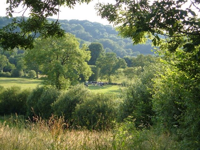
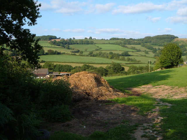
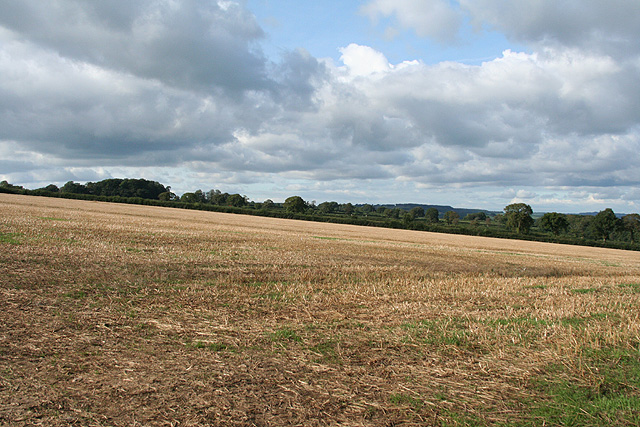
The village is known for its picturesque setting, nestled amidst rolling hills and lush green countryside. Its idyllic location makes it a popular destination for tourists seeking a peaceful and tranquil getaway. The village is also conveniently situated near the coast, offering visitors easy access to stunning beaches and coastal walks.
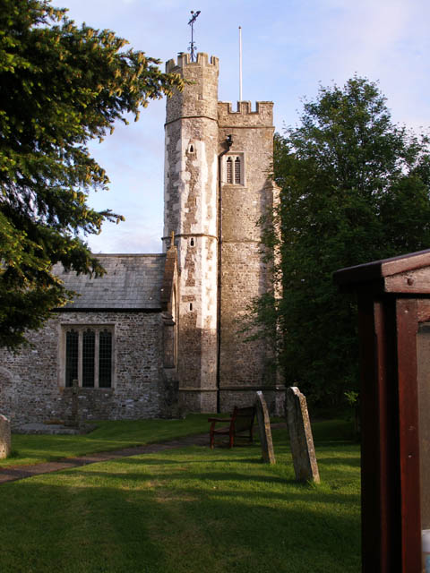
Barton is home to several historical landmarks that showcase its heritage. One such landmark is St. Michael and All Angels Church, a beautiful Grade I listed building that dates back to the 12th century. The church's stunning architecture and intricate stained glass windows attract visitors from far and wide.
Another notable feature of Barton is its well-preserved traditional thatched cottages, which add to the village's quaint and traditional atmosphere. These quaint cottages provide a glimpse into the village's past and are a source of fascination for history enthusiasts.
Furthermore, Barton is known for its vibrant community spirit, with various local events and festivals taking place throughout the year. These events provide an opportunity for residents and visitors to come together and celebrate the village's unique heritage.
In conclusion, Barton, Devon, is a charming heritage site that offers visitors a glimpse into its rich history and traditional way of life. With its stunning natural surroundings, historical landmarks, and vibrant community spirit, it is a must-visit destination for those seeking an authentic Devonshire experience.
If you have any feedback on the listing, please let us know in the comments section below.
Barton Images
Images are sourced within 2km of 50.788/-3.113 or Grid Reference SY2199. Thanks to Geograph Open Source API. All images are credited.


Barton is located at Grid Ref: SY2199 (Lat: 50.788, Lng: -3.113)
Police Authority: Devon and Cornwall
What 3 Words
///roadblock.holidays.gathering. Near Honiton, Devon
Nearby Locations
Related Wikis

Widworthy
Widworthy is a village, parish and former manor in Devon, England. The village is 3 1/2 miles east of Honiton and the parish is surrounded clockwise from...

Wilmington, Devon
Wilmington is a village between Axminster and Honiton in East Devon on the A35 road.The entire village is now in the parish of Widworthy, although this...
Offwell
Offwell is a village and civil parish in East Devon in the English county of Devon, approximately 2 miles south-east from the nearest town, Honiton. Offwell...
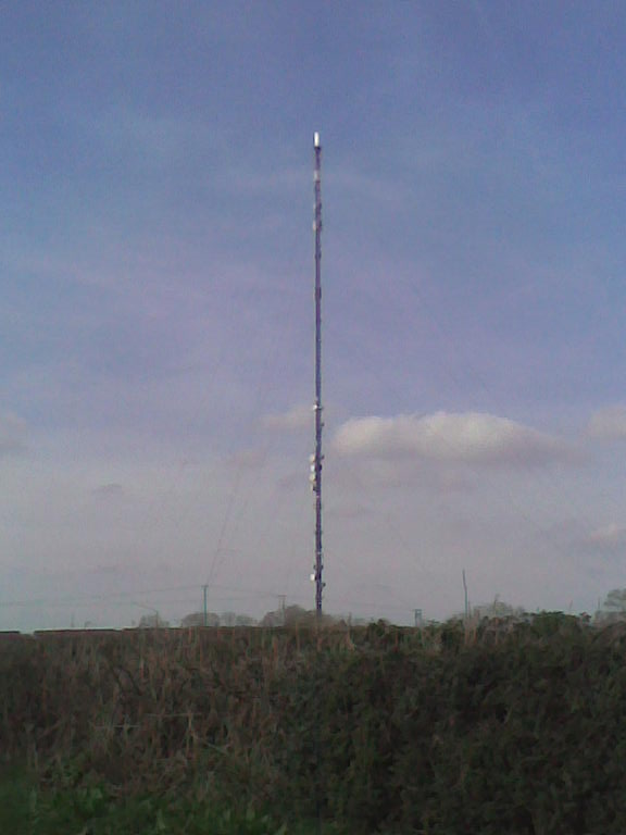
Stockland Hill transmitting station
The Stockland Hill transmitting station is a transmitting facility of FM Radio and UHF television located near Honiton, Devon, England. This transmitter...

Cotleigh
Cotleigh is a village and civil parish near Honiton in Devon, England. It is surrounded clockwise from the north by the parishes of Upottery, Stockland...
Stockland Castle
Stockland Castle is the name given to two Iron Age hill forts on Stockland Hill close to Stockland in Devon, England. Stockland Great Castle (50.8178°N...

Dalwood
Dalwood is a village and county parish in the East Devon district of the English county of Devon. It is approximately 3 miles (4.8 km) away from the nearest...

Loughwood Meeting House
Loughwood Meeting House is a historic Baptist chapel, 1 mile (1.6 km) south of the village of Dalwood, Devon in England. There was a meeting house on...
Nearby Amenities
Located within 500m of 50.788,-3.113Have you been to Barton?
Leave your review of Barton below (or comments, questions and feedback).