Barnsley Park
Heritage Site in Gloucestershire Cotswold
England
Barnsley Park

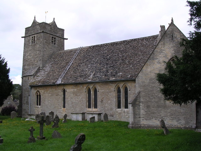
Barnsley Park, located in Gloucestershire, England, is a historic heritage site that offers visitors a glimpse into the rich history and natural beauty of the region. Spread over a sprawling 1,500 acres, the park is nestled in the heart of the Cotswold countryside.
Once the ancestral home of the renowned de Vere family, Barnsley Park boasts a magnificent 18th-century mansion that stands as a testament to the area's architectural heritage. The house, built in the Palladian style, features stunning interiors adorned with intricate plasterwork, grand fireplaces, and opulent furnishings.
Surrounding the mansion are beautifully landscaped gardens, which have been lovingly restored to their former glory. Visitors can explore the formal gardens, which include a picturesque rose garden, a tranquil water garden, and an impressive walled garden that showcases a variety of rare and exotic plant species.
Aside from its architectural and horticultural treasures, Barnsley Park is also home to a diverse range of wildlife. The park's woodland areas provide a habitat for numerous bird species, while its meadows are home to wildflowers and butterflies. Nature enthusiasts can enjoy leisurely walks through the park's extensive network of trails, immersing themselves in the serenity of the surrounding countryside.
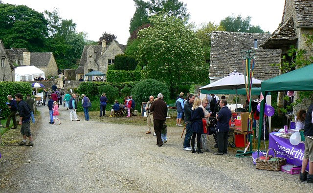
Barnsley Park offers a range of activities and events for visitors, including guided tours of the historic house, workshops on traditional crafts, and seasonal festivities. With its rich history, stunning architecture, and natural splendor, Barnsley Park is a must-visit destination for those seeking a taste of Gloucestershire's heritage.
If you have any feedback on the listing, please let us know in the comments section below.
Barnsley Park Images
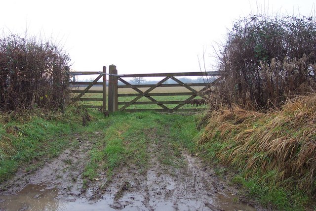
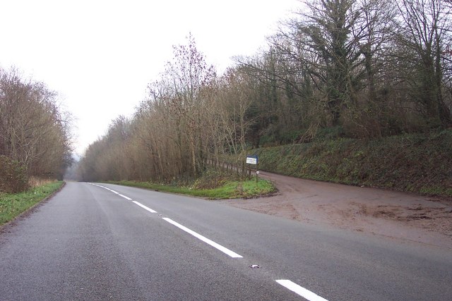
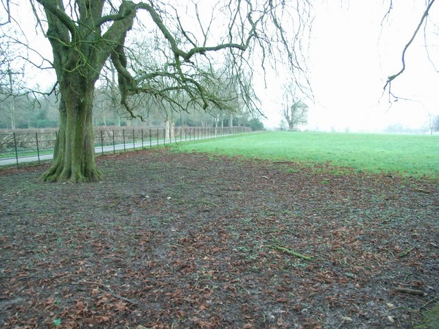
Images are sourced within 2km of 51.757/-1.877 or Grid Reference SP0806. Thanks to Geograph Open Source API. All images are credited.
![A circular walk around Bibury and Ablington [12] The footpath from Arlington Corner meet the minor road at Ablington.
The walk starts at Arlington Corner and follows a footpath to Ablington, where the River Coln is crossed, and then a byway northeast to Saltway Barn. Another byway, the historic Salt Way, is then followed southeast before a right turn onto a bridleway which runs south past Hale Barn to Bibury. The River Coln is recrossed at Bibury Mill and a footpath is then followed back to the starting point. Just over 5 miles.](https://s2.geograph.org.uk/geophotos/07/48/93/7489318_31443d2d.jpg)
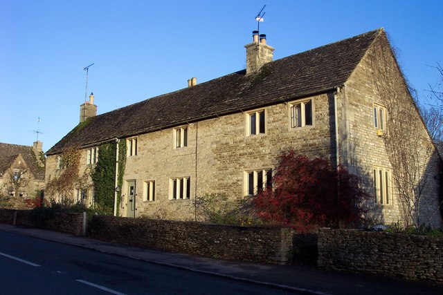
![Ablington houses [1] Bridge House was formerly two houses, now one. Built in the mid or late 18th century with 20th century rear alterations. Constructed of limestone rubble stone with ashlar chimneys under a stone slate roof. Listed, grade II, with details at: <span class="nowrap"><a title="https://historicengland.org.uk/listing/the-list/list-entry/1341831" rel="nofollow ugc noopener" href="https://historicengland.org.uk/listing/the-list/list-entry/1341831">Link</a><img style="margin-left:2px;" alt="External link" title="External link - shift click to open in new window" src="https://s1.geograph.org.uk/img/external.png" width="10" height="10"/></span>
The hamlet of Ablington is located in Gloucestershire astride the River Coln some 6¼ miles northeast of Cirencester and about 1 mile upstream from Bibury. The name &#039;Ablington&#039; is derived from the &#039;estate called after Eadbald&#039; (personal name Ēadbald + ing + tūn) and has been recorded as Eadbaldingtun, Ablinton and Ablyngton.](https://s1.geograph.org.uk/geophotos/07/50/22/7502217_56aa5a1d.jpg)
![Ablington houses [5] The boundary wall and gate piers to Ablington Manor are 18th century, restored in the early 20th century. Constructed of limestone rubble stone with ashlar piers and dressed coping. (See also <a href="https://www.geograph.org.uk/photo/7502252">SP1007 : Ablington houses [4]</a>) Listed, grade II, with details at: <span class="nowrap"><a title="https://historicengland.org.uk/listing/the-list/list-entry/1088391" rel="nofollow ugc noopener" href="https://historicengland.org.uk/listing/the-list/list-entry/1088391">Link</a><img style="margin-left:2px;" alt="External link" title="External link - shift click to open in new window" src="https://s1.geograph.org.uk/img/external.png" width="10" height="10"/></span>
The hamlet of Ablington is located in Gloucestershire astride the River Coln some 6¼ miles northeast of Cirencester and about 1 mile upstream from Bibury. The name &#039;Ablington&#039; is derived from the &#039;estate called after Eadbald&#039; (personal name Ēadbald + ing + tūn) and has been recorded as Eadbaldingtun, Ablinton and Ablyngton.](https://s1.geograph.org.uk/geophotos/07/50/22/7502253_ac1a46d1.jpg)


Barnsley Park is located at Grid Ref: SP0806 (Lat: 51.757, Lng: -1.877)
Administrative County: Gloucestershire
District: Cotswold
Police Authority: Gloucestershire
What 3 Words
///manager.impressed.regularly. Near Stratton, Gloucestershire
Nearby Locations
Related Wikis

Barnsley Park
Barnsley Park is a country house and park, measuring about 3 miles (4.8 km) in circumference in Barnsley, Gloucestershire, England. == History == An Iron...
Barnsley, Gloucestershire
Barnsley is a village and civil parish in the Cotswold district of Gloucestershire, England, 3.7 miles (6.0 km) northeast of Cirencester. It is 125 kilometres...

Winson Meadows
Winson Meadows (grid reference SP093081) is a 7.93-hectare (19.6-acre) biological Site of Special Scientific Interest in Gloucestershire, notified in 1974...

Ablington Manor
Ablington Manor is a Grade I listed country house in Potlicker's Lane, Ablington within the parish of Bibury, Gloucestershire, England. The estate was...

Ablington, Gloucestershire
Ablington is a village in the county of Gloucestershire, England. It is located in the Coln Valley and is part of the Bibury civil parish, 6 miles (9...

Winson, Gloucestershire
Winson is a village in the Cotswold district of the English county of Gloucestershire. == Location == Winson lies next to the River Coln, north west of...

Arlington, Gloucestershire
Arlington is a Cotswold village in the parish of Bibury, Gloucestershire, England. == History == In 1066 Arlington had two mills and continued to flourish...
Ready Token
Ready Token is a hamlet in Gloucestershire, England, located in the Cotswold Hills near Poulton. Despite comprising only a handful of houses it is located...
Nearby Amenities
Located within 500m of 51.757,-1.877Have you been to Barnsley Park?
Leave your review of Barnsley Park below (or comments, questions and feedback).