Barnes Castle
Heritage Site in East Lothian
Scotland
Barnes Castle

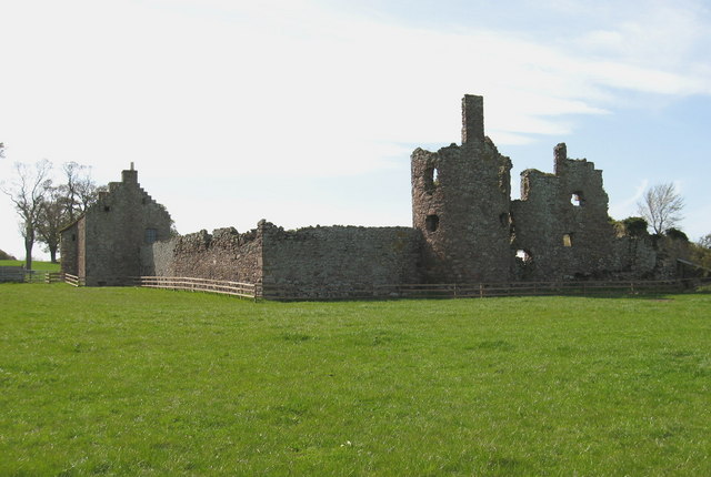
Barnes Castle, located in East Lothian, Scotland, is a historic heritage site that holds great significance in the region's history. Built in the 16th century, this castle stands as a testament to the architectural prowess of the time.
The castle, situated on a picturesque hilltop, offers stunning views of the surrounding countryside. Its strategic location allowed its inhabitants to have a vantage point to monitor and protect the nearby coastline. Although now in ruins, the castle's remaining walls provide a glimpse into its former grandeur.
The original structure of Barnes Castle featured a rectangular tower house with three stories, constructed using locally sourced sandstone. The castle's design followed the typical Scottish tower house style, with thick walls and narrow windows for defense purposes. Over time, various additions and alterations were made to the castle, including the addition of a courtyard and a gatehouse.
Barnes Castle changed hands numerous times throughout its history. It was initially owned by the influential Hamilton family and later passed on to the Ruthvens and the Hepburns. The castle played a significant role in various conflicts and political struggles that occurred in Scotland during the 16th and 17th centuries.
Today, Barnes Castle stands as a well-preserved ruin, managed by Historic Environment Scotland. Visitors can explore the castle's remains, wander through its courtyards, and marvel at its architectural details. The site offers a unique opportunity to step back in time and imagine the castle's former glory, while also enjoying the beauty of its natural surroundings.
If you have any feedback on the listing, please let us know in the comments section below.
Barnes Castle Images
Images are sourced within 2km of 55.9796/-2.7568 or Grid Reference NT5276. Thanks to Geograph Open Source API. All images are credited.


Barnes Castle is located at Grid Ref: NT5276 (Lat: 55.9796, Lng: -2.7568)
What 3 Words
///farm.quietest.finders. Near Haddington, East Lothian
Nearby Locations
Related Wikis

Barnes Castle
Barnes Castle is an unfinished castle, with a number of defensive banks, located 5 kilometres (3.1 mi) north-east of Haddington in East Lothian, Scotland...

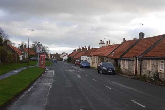
Athelstaneford
Athelstaneford () is a village in East Lothian, Scotland. It lies almost 6 kilometres (3.5 mi) north-east of the market town of Haddington and about 28...
Garleton Castle
Garleton Castle is a courtyard castle, dating from the sixteenth century, about 1.5 miles (2.4 km) north of Haddington, just north of the Garleton Hills...
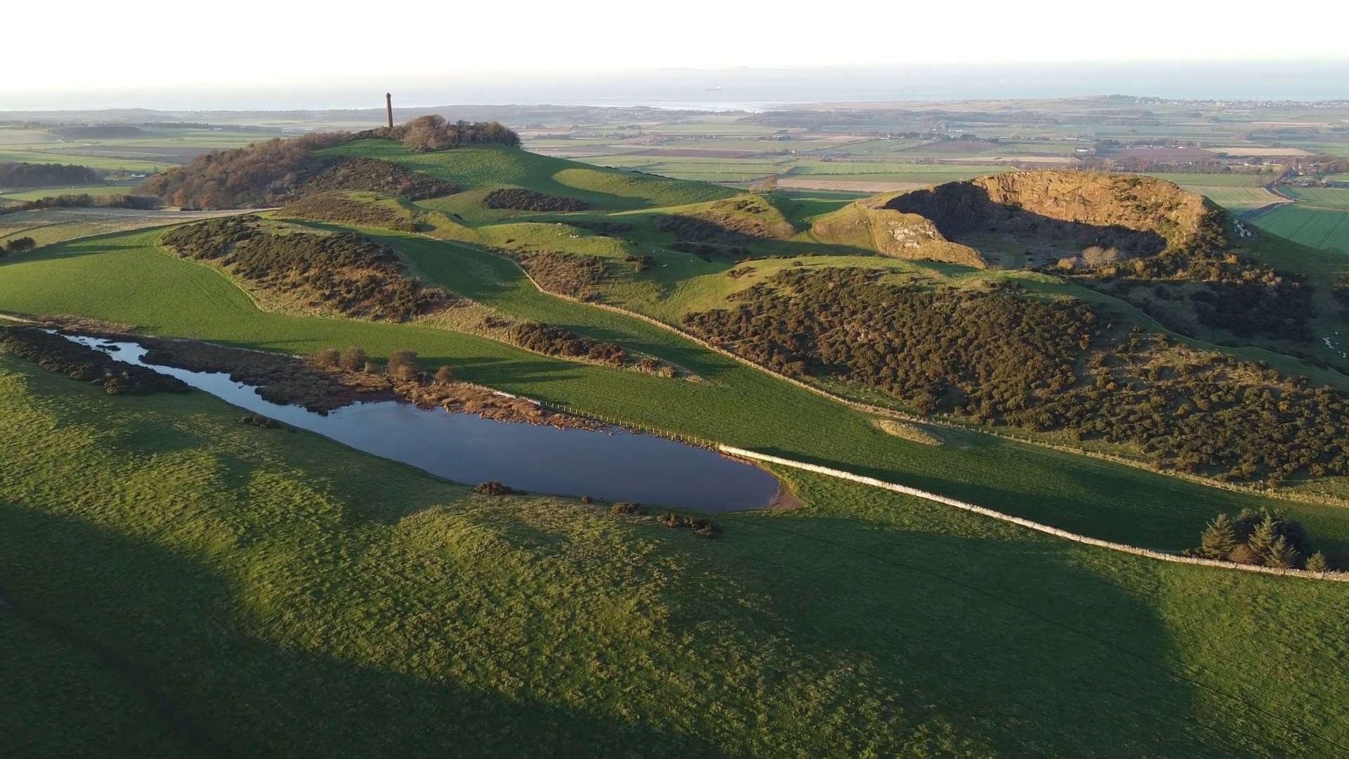
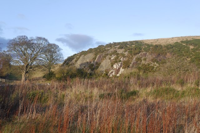
Garleton Hills
The Garleton Hills, in East Lothian, Scotland, are a range of igneous hills, to the north of Haddington. == Geography == Although Skid Hill, the highest...

Skid Hill
Skid Hill is a 186 metres high hill of eastern Scotland, the highest of the Garleton Hills. == Geology == The hill origin is volcanic and it shows both...

Stevenson House, East Lothian
Stevenson House is a mansion near the village of Haddington, East Lothian, Scotland. == History == The estate was once owned by the William Douglas of...
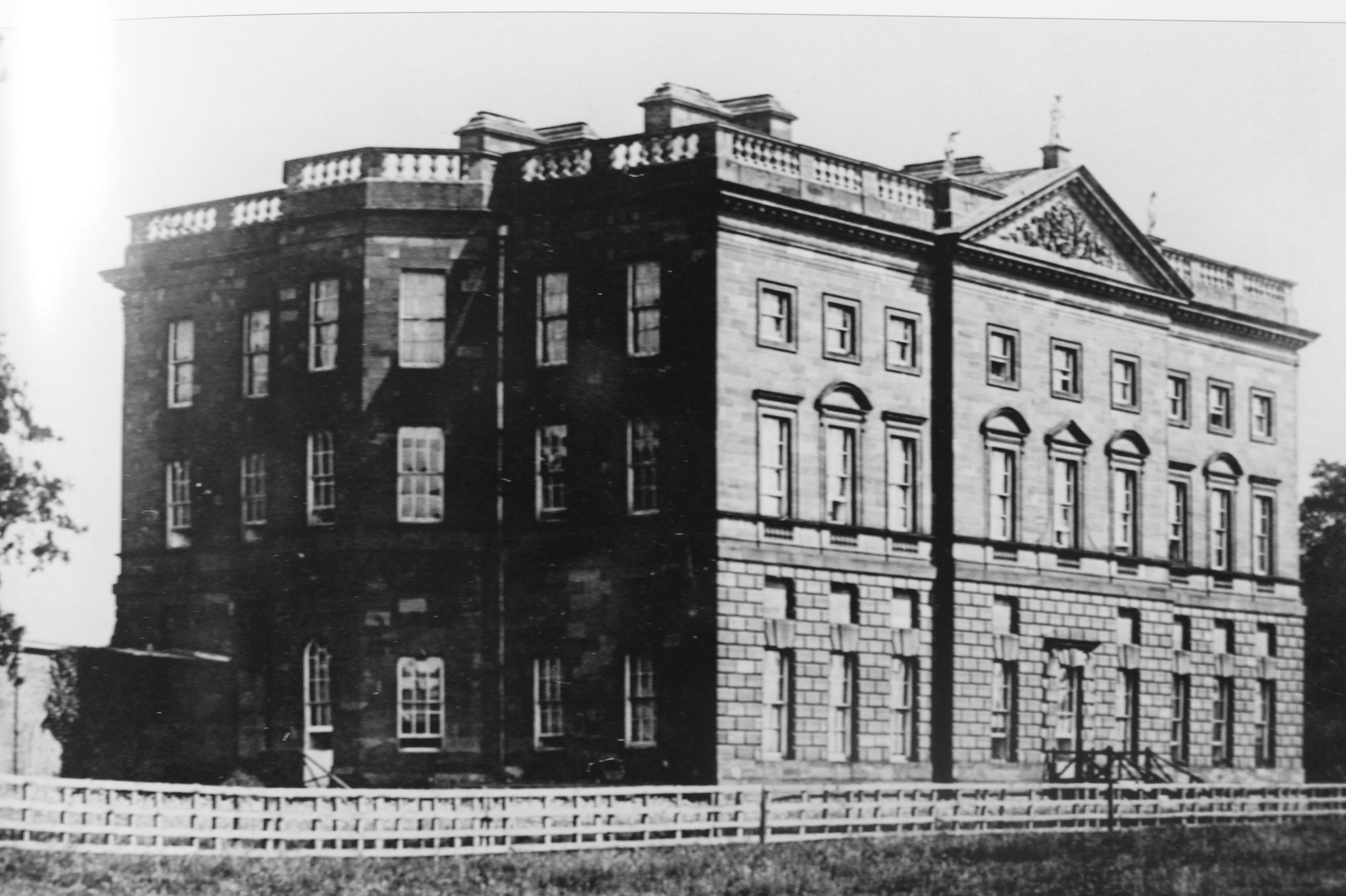
Amisfield House
Amisfield House was a substantial Palladian mansion near Haddington, East Lothian. == History == Previously known as Newmills, under that name in the 17th...
Chesters Hill Fort
Chesters Hill Fort is an Iron Age hill fort in East Lothian, Scotland. It lies 1 mile (2 kilometres) south of Drem, 1+1⁄2 mi (2.5 km) east of Ballencrieff...
Related Videos

Skid Hill - New Spot - Bank Holiday Flying
New Spot Video taken with Go Pro Hero 7 (Hypersmooth:Off) Drone - GepRC Mark 4.

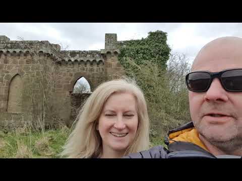
A visit to Athelstaneford
20 miles east of Edinburgh is the village of Athelstanford where the legend of Scotland's national flag was born.
Coronavirus lock down - day 7
Monument at walled garden.
Nearby Amenities
Located within 500m of 55.9796,-2.7568Have you been to Barnes Castle?
Leave your review of Barnes Castle below (or comments, questions and feedback).