Barmondsway Village
Heritage Site in Durham
England
Barmondsway Village
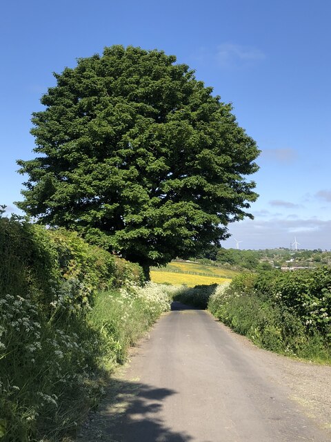
Barmondsway Village, located in County Durham, England, is a renowned heritage site that offers visitors a glimpse into the region's rich history and cultural significance. The village is nestled in a picturesque landscape, surrounded by rolling hills and lush greenery, creating a tranquil and idyllic setting.
Dating back to the 12th century, Barmondsway Village has retained many of its original medieval features, making it an appealing destination for history enthusiasts. The village is home to a collection of well-preserved cottages, each showcasing traditional architectural styles and construction techniques of the time. These cottages are adorned with intricate carvings and decorative details, offering a glimpse into the skilled craftsmanship of the past.
One of the standout features of Barmondsway Village is its historic church, St. Mary's, which stands proudly in the heart of the village. This ancient church boasts a stunning Norman tower and houses a range of medieval stained glass windows, adding to its architectural and historical significance. The church also serves as a place of worship, and visitors are welcome to step inside and appreciate its serene atmosphere.
In addition to its architectural marvels, Barmondsway Village also offers visitors the opportunity to explore its beautiful surrounding countryside. The village is situated in close proximity to several walking trails and nature reserves, allowing visitors to immerse themselves in the natural beauty of the area.
Overall, Barmondsway Village is a captivating heritage site that offers a unique blend of history, architecture, and natural beauty. It provides a perfect escape for those seeking a glimpse into the past and a chance to connect with nature in a peaceful and enchanting setting.
If you have any feedback on the listing, please let us know in the comments section below.
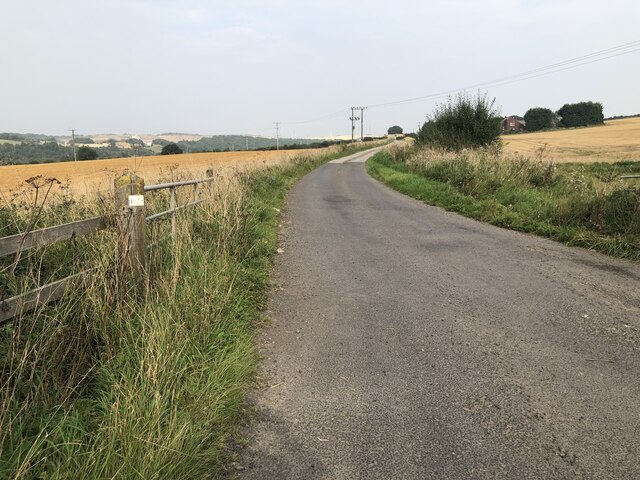
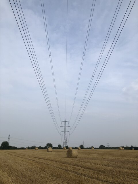
Barmondsway Village Images
Images are sourced within 2km of 54.703/-1.465 or Grid Reference NZ3434. Thanks to Geograph Open Source API. All images are credited.


Barmondsway Village is located at Grid Ref: NZ3434 (Lat: 54.703, Lng: -1.465)
Unitary Authority: County Durham
Police Authority: Durham
What 3 Words
///typically.sake.impose. Near Kelloe, Co. Durham
Nearby Locations
Related Wikis

Garmondsway
Garmondsway is a small dispersed hamlet in the parish of Kelloe in County Durham, England situated between Durham and Sedgefield. It is notable as including...
Raisby Hill Quarry
Raisby Hill Quarry is a Site of Special Scientific Interest in east County Durham, England. It lies just under 2 kilometres (1.2 mi) east of the village...
Raisby Hill Grassland
Raisby Hill Grassland is a Site of Special Scientific Interest in east County Durham, England. It lies just over 1 km east of the village of Coxhoe. The...
Fishburn Airfield
Fishburn Airfield is a small grass strip airfield in Fishburn, County Durham. The airfield was opened on 30 June 1995 by the then local MP and Leader of...
Nearby Amenities
Located within 500m of 54.703,-1.465Have you been to Barmondsway Village?
Leave your review of Barmondsway Village below (or comments, questions and feedback).