Bardowie Cas
Heritage Site in Stirlingshire
Scotland
Bardowie Cas
Bardowie Cas, located in Stirlingshire, Scotland, is a significant heritage site that holds historical and architectural importance. Situated on the eastern shore of Bardowie Loch, the cas (meaning "castle" in Scots) is a well-preserved example of a medieval fortification.
Dating back to the 15th century, Bardowie Cas was originally constructed as a tower house by the Colquhoun family, who were prominent local landowners. The cas may have served as a defensive structure, providing protection for the family and their lands.
The castle is built with a rectangular plan and features thick stone walls, narrow windows, and a parapet with battlements. The original entrance, now partially ruined, was likely accessed via an external stairway. The interior of the cas is arranged over multiple levels, including a basement and several upper floors. The ground floor would have contained storage areas, while the upper floors would have served as living quarters.
Over the years, Bardowie Cas has undergone various alterations and additions. In the 17th century, a large extension was added to the original tower house, expanding its living space. Additionally, a courtyard was created within the castle's walls, although much of this area has now disappeared.
Today, Bardowie Cas is a grade B-listed building, recognizing its architectural significance. While the castle is privately owned and not open to the public, it remains a notable landmark in the area, contributing to Scotland's rich historical heritage.
If you have any feedback on the listing, please let us know in the comments section below.
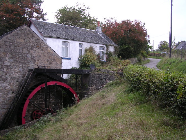
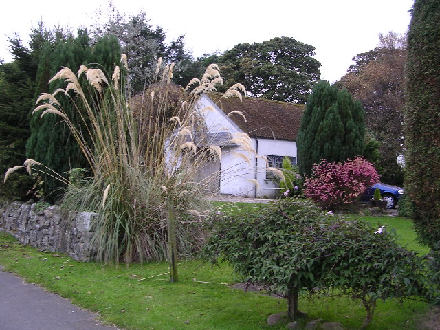
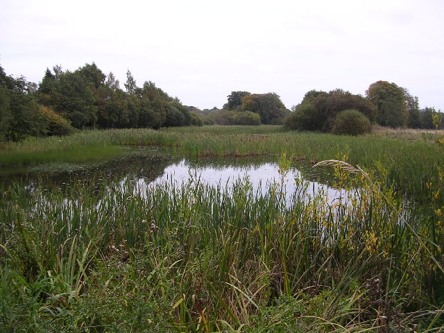
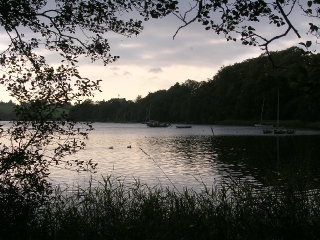
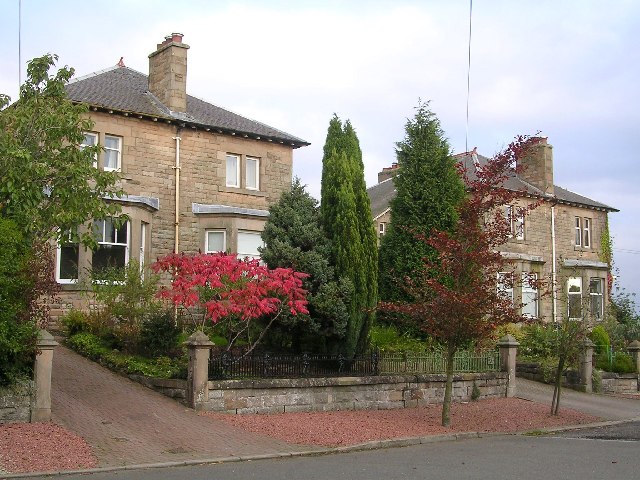
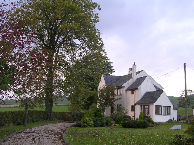
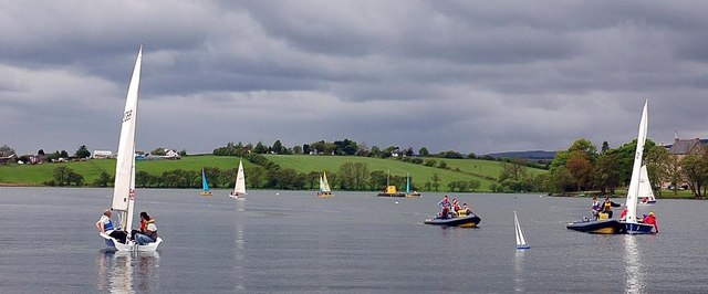
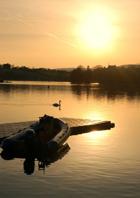
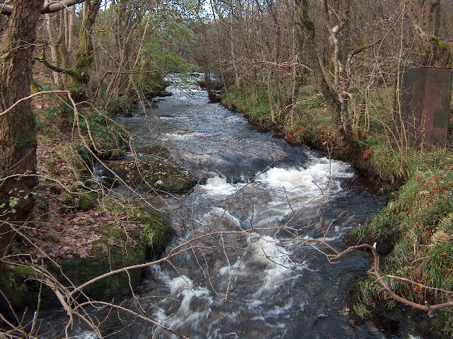
Bardowie Cas Images
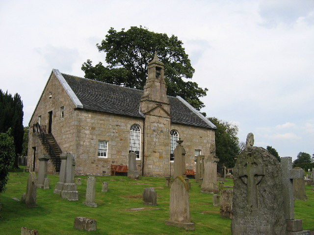
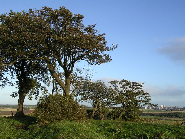
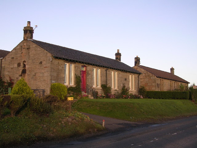
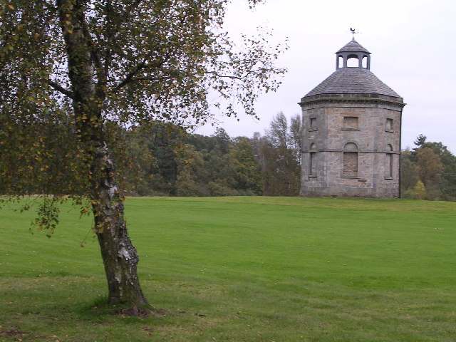
Images are sourced within 2km of 55.933/-4.282 or Grid Reference NS5773. Thanks to Geograph Open Source API. All images are credited.


Bardowie Cas is located at Grid Ref: NS5773 (Lat: 55.933, Lng: -4.282)
Unitary Authority: East Dunbartonshire
Police Authority: Greater Glasgow
What 3 Words
///bronze.modest.boot. Near Milngavie, East Dunbartonshire
Nearby Locations
Related Wikis

Bardowie Castle
Bardowie Castle is located 2 kilometres (1.2 mi) east of Milngavie, in East Dunbartonshire, Scotland. The A-Listed building overlooks Bardowie Loch. The...

Bardowie
Bardowie is a hamlet in East Dunbartonshire located within the civil parish of Baldernock. It is two miles (three kilometres) from Milngavie and four miles...

Barnellan
Barnellan is a small hamlet in East Dunbartonshire, Scotland, situated in the civil parish of Baldernock. It consists of a few houses and a farm, the latter...
Allander Water
The Allander Water (Scottish Gaelic: Uisge Alandair) is a river in East Dunbartonshire and Stirling, Scotland, and one of the three main tributaries of...

Bardowie railway station
Bardowie railway station was opened in 1905 on the Kelvin Valley Railway, later than most of the other stations which had opened with the line itself in...
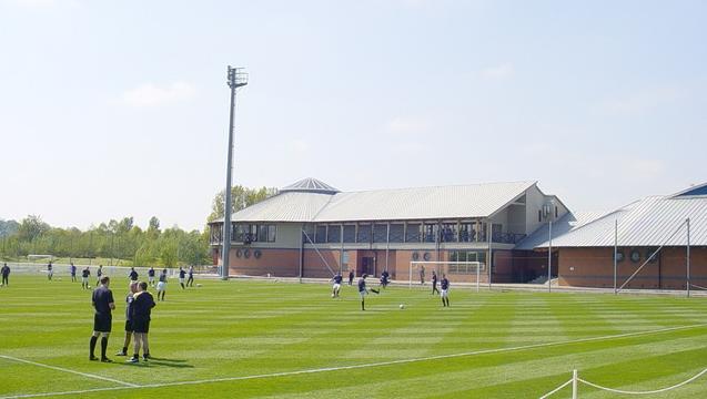
Rangers Training Centre
The Rangers Training Centre is the training ground of Rangers located in Milngavie, East Dunbartonshire, Scotland. It was opened in 2001 and originally...

Baldernock
Baldernock (; Gaelic: Baile D' Earnaig) meaning 'settlement of St Earnaig' (Iain Mac an Táilleir, Sabhall Mór Ostaig) is a small parish in East Dunbartonshire...
West of Scotland F.C.
West of Scotland Football Club is a rugby union club based in Milngavie, Scotland. Founded in 1865, West of Scotland are one of the oldest rugby clubs...
Nearby Amenities
Located within 500m of 55.933,-4.282Have you been to Bardowie Cas?
Leave your review of Bardowie Cas below (or comments, questions and feedback).