Barcroft

Heritage Site in Lancashire

England

Barcroft

Old Wayside Cross in Tiwneley Park, Burnley Foldys' Cross, an old market cross base in a new cross. Moved to the intersection of footpaths leading towards Todmorden road in Towneley Park, 300 metres southwest of Towneley Hall in Burnley. Grade II Listed <span class="nowrap"><a title="https://historicengland.org.uk/listing/the-list/list-entry/1247301" rel="nofollow ugc noopener" href="https://historicengland.org.uk/listing/the-list/list-entry/1247301">Link</a><img style="margin-left:2px;" alt="External link" title="External link - shift click to open in new window" src="https://s1.geograph.org.uk/img/external.png" width="10" height="10"/></span>. See also <a title="https://www.geograph.org.uk/photo/3569776" href="https://www.geograph.org.uk/photo/3569776">Link</a> and <a title="https://www.geograph.org.uk/photo/1133733" href="https://www.geograph.org.uk/photo/1133733">Link</a>.

Milestone Society National ID: LABU_BUR03
Old Wayside Cross in Tiwneley Park, Burnley Credit: Lee Rob

Barcroft, located in Lancashire, England, is a historically significant heritage site that attracts visitors from all over the world. This charming village is steeped in history, boasting a rich and diverse past that spans several centuries.

The village is renowned for its well-preserved medieval architecture, with many of its buildings dating back to the 12th century. The centerpiece of Barcroft is its picturesque church, which was built in the 14th century and still stands proudly today. The church is a fine example of Gothic architecture, with its intricate stone carvings and stunning stained glass windows.

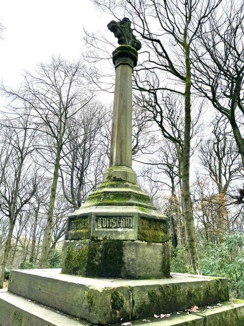
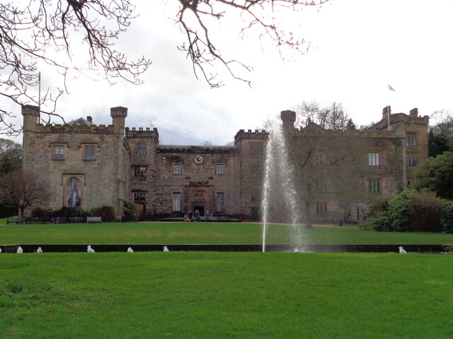
In addition to its architectural wonders, Barcroft is also home to several other historically significant landmarks. One such landmark is the Barcroft Manor, a grand stately home that was built in the 17th century. This magnificent manor, with its sprawling gardens and ornate interiors, offers visitors a glimpse into the opulent lifestyle of the aristocracy during that era.

Barcroft is also known for its vibrant local community, which takes great pride in preserving the village's heritage. The residents actively participate in various cultural events and festivals, showcasing the traditions and customs that have been passed down through generations.

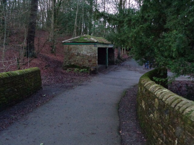
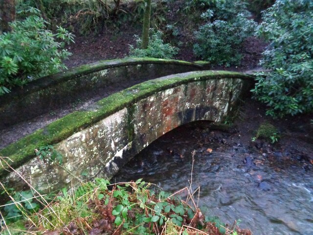
Visitors to Barcroft can explore the village's cobbled streets, visit its quaint tea rooms and local shops, or simply enjoy a leisurely stroll along the river that meanders through the village. The serene and idyllic atmosphere of Barcroft makes it an ideal destination for history enthusiasts, nature lovers, and those seeking a peaceful retreat away from the hustle and bustle of modern life.

In conclusion, Barcroft, Lancashire, is a captivating heritage site that offers a unique blend of historical charm and natural beauty. With its well-preserved medieval architecture, fascinating landmarks, and welcoming community, it provides an immersive experience into the rich history and culture of the region.

If you have any feedback on the listing, please let us know in the comments section below.
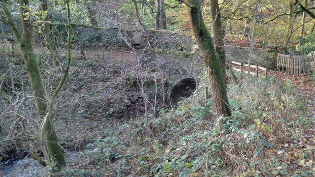
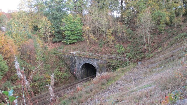
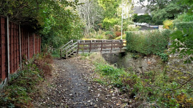
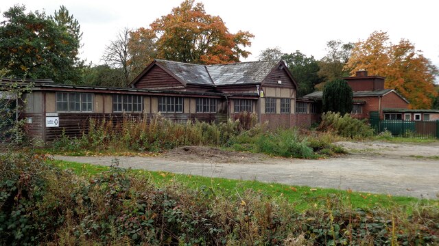
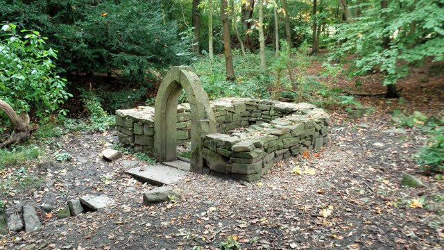
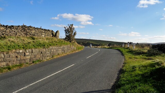
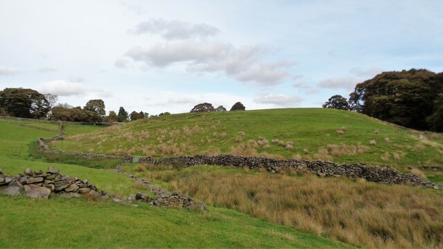
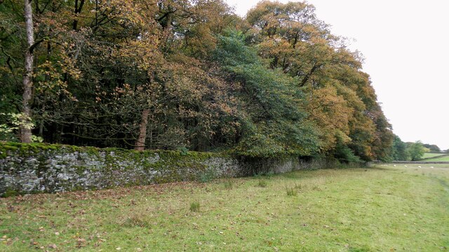
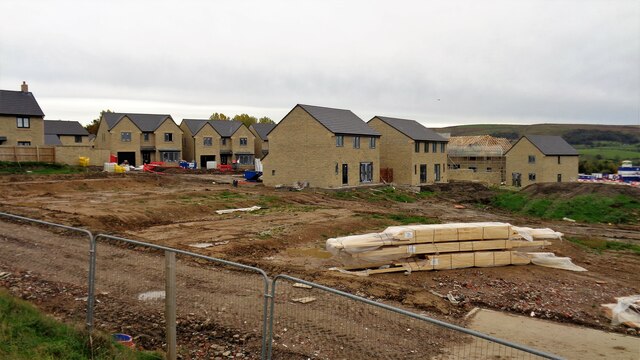
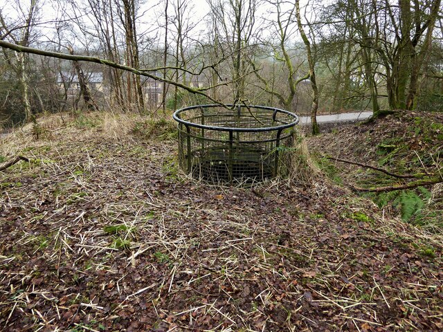
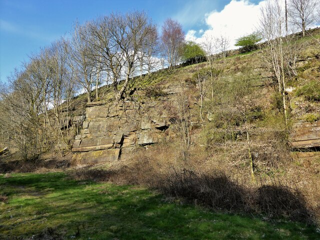
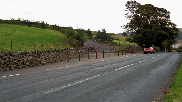
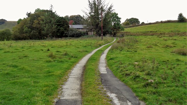
Barcroft Images

Images are sourced within 2km of 53.77/-2.205 or Grid Reference SD8630. Thanks to Geograph Open Source API. All images are credited.

Old Wayside Cross in Tiwneley Park, Burnley Foldys' Cross, an old market cross base in a new cross. Moved to the intersection of footpaths leading towards Todmorden road in Towneley Park, 300 metres southwest of Towneley Hall in Burnley. Grade II Listed <span class="nowrap"><a title="https://historicengland.org.uk/listing/the-list/list-entry/1247301" rel="nofollow ugc noopener" href="https://historicengland.org.uk/listing/the-list/list-entry/1247301">Link</a><img style="margin-left:2px;" alt="External link" title="External link - shift click to open in new window" src="https://s1.geograph.org.uk/img/external.png" width="10" height="10"/></span>. See also <a title="https://www.geograph.org.uk/photo/3569776" href="https://www.geograph.org.uk/photo/3569776">Link</a> and <a title="https://www.geograph.org.uk/photo/1133733" href="https://www.geograph.org.uk/photo/1133733">Link</a>.

Milestone Society National ID: LABU_BUR03
Old Wayside Cross in Tiwneley Park, Burnley
Foldys' Cross, an old market cross base in a new cross. Moved to the intersection of footpaths leading towards Todmorden road in Towneley Park, 300 metres southwest of Towneley Hall in Burnley. Grade II Listed LinkExternal link. See also Link and Link. Milestone Society National ID: LABU_BUR03
Towneley Hall The north east frontage
Towneley Hall
The north east frontage
Park Shelters At Boggart Bridge in Towneley Park Wilderness
Park Shelters
At Boggart Bridge in Towneley Park Wilderness
Ornamental Footbridge In the Wilderness of Towneley Park over Copy Clough
Ornamental Footbridge
In the Wilderness of Towneley Park over Copy Clough
Foxstones Bridge Over the infant River Brun
Foxstones Bridge
Over the infant River Brun
Towneley Railway Tunnel The north portal
Towneley Railway Tunnel
The north portal
Beehive Coke Oven The charging hole decorated for Halloween
Beehive Coke Oven
The charging hole decorated for Halloween
Burnley Way Footbridge Crosses the River Calder to give access to Park Road
Burnley Way Footbridge
Crosses the River Calder to give access to Park Road
Rustic Pavilion For the football fields in Towneley Park
Rustic Pavilion
For the football fields in Towneley Park
Monk's Well In Thanet Lee Wood on the Towneley Estate. Whilst it contains a stone trough, the construction around it is believed to be a re-created Gothick folly.
Monk's Well
In Thanet Lee Wood on the Towneley Estate. Whilst it contains a stone trough, the construction around it is believed to be a re-created Gothick folly.
The Long Causeway at Stump Cross The way marking stone known as Stump Cross is at the top of the roadside embankment on the bend. This stone has not been dressed unlike the Mount Cross which is further along this ancient route
The Long Causeway at Stump Cross
The way marking stone known as Stump Cross is at the top of the roadside embankment on the bend. This stone has not been dressed unlike the Mount Cross which is further along this ancient route
Round Hill There are earthworks marked on the OS map for the hill. There are surface stones visible in that area. More remarkable are the large monoliths built into the field walls around this area and perhaps they had been in the earthworks in times past.
Round Hill
There are earthworks marked on the OS map for the hill. There are surface stones visible in that area. More remarkable are the large monoliths built into the field walls around this area and perhaps they had been in the earthworks in times past.
Estate Walling to Ormerod House The substantial walling encloses the River Brun within the private estate, so this path along the valley has no view of the river.
Estate Walling to Ormerod House
The substantial walling encloses the River Brun within the private estate, so this path along the valley has no view of the river.
New Housing (The Calders) Off Red Lees Road and causing the diversion of public footpaths
New Housing (The Calders)
Off Red Lees Road and causing the diversion of public footpaths
Modern railings on Beehive Coke Oven The railings are around the charging hole of a preserved historic beehive coke oven. There are many remains on this hillside of the banks of ovens and tramways that served them, but only one beehive oven appears complete.
Modern railings on Beehive Coke Oven
The railings are around the charging hole of a preserved historic beehive coke oven. There are many remains on this hillside of the banks of ovens and tramways that served them, but only one beehive oven appears complete.
Disused Rock Quarry By Rock Water
Disused Rock Quarry
By Rock Water
Coal Clough Wind Farm Access Road Leads off Red Lees Road at Overtown for those long loads up to The Long Causeway
Coal Clough Wind Farm Access Road
Leads off Red Lees Road at Overtown for those long loads up to The Long Causeway
Honey Holme Lane Approaching Honey Holme after crossing the River Calder
Honey Holme Lane
Approaching Honey Holme after crossing the River Calder
Show me another place!

Barcroft is located at Grid Ref: SD8630 (Lat: 53.77, Lng: -2.205)

Police Authority: Lancashire

What 3 Words

///lots.frosted.lamps. Near Burnley, Lancashire

Related Wikis

Cliviger

Cliviger is a civil parish in the Borough of Burnley, in Lancashire, England. It is situated to the southeast of Burnley, and northwest of Todmorden....

Towneley Park

Towneley Park is owned and managed by Burnley Borough Council and is the largest and most popular park in Burnley, Lancashire, England. The main entrance...

Fother Royd Wood

Fother Royd Wood is a woodland in Lancashire, England, near Worsthorne. It covers a total area of 1.03 hectares (2.55 acres). It is owned and managed by...

Hurstwood

Hurstwood is a rural hamlet on the eastern outskirts of Burnley in Lancashire, England. It is in the civil parish of Worsthorne-with-Hurstwood and the...

Unity College, Burnley

Unity College is a mixed 11-16 comprehensive school in Burnley, Lancashire, England. == History == === Former school === Towneley High School originally...

Towneley Colliery

Towneley Colliery or Towneley Desmesne was a coal mine on the Burnley Coalfield in Burnley, Lancashire, England. Sunk in the late 1860s, it was linked...

Worsthorne-with-Hurstwood

Worsthorne-with-Hurstwood is a civil parish in the Borough of Burnley, in Lancashire, England. Situated on the eastern outskirts of Burnley, in 2011 it...

Singing Ringing Tree (sculpture)

The Singing Ringing Tree is a wind powered sound sculpture resembling a tree set in the landscape of the Pennine hill range overlooking Burnley, in Lancashire...

Nearby Amenities

Located within 500m of 53.77,-2.205
Walk Mill
Place: village
Lat/Long: 53.7667693/-2.207757
Barrier: stile
Lat/Long: 53.7710705/-2.2004404
Barrier: cattle_grid
Lat/Long: 53.7685151/-2.2081064
Turning Circle
Lat/Long: 53.7684881/-2.2105629
Turning Circle
Lat/Long: 53.7667554/-2.2086222
Turning Circle
Lat/Long: 53.7679176/-2.2095186
Leisure: playground
Lat/Long: 53.7666484/-2.2069628
Post Box
Post Box Type: pillar
Ref: BB10 103
Royal Cypher: EVIIR
Royal Cypher Wikidata: Q33102324
Lat/Long: 53.7661618/-2.20637
The data included in this document is from www.openstreetmap.org. The data is made available under ODbL.

Have you been to Barcroft?

Leave your review of Barcroft below (or comments, questions and feedback).