Cliviger

Settlement in Lancashire Burnley

England

Cliviger

Old Wayside Cross in Tiwneley Park, Burnley Foldys' Cross, an old market cross base in a new cross. Moved to the intersection of footpaths leading towards Todmorden road in Towneley Park, 300 metres southwest of Towneley Hall in Burnley. Grade II Listed <span class="nowrap"><a title="https://historicengland.org.uk/listing/the-list/list-entry/1247301" rel="nofollow ugc noopener" href="https://historicengland.org.uk/listing/the-list/list-entry/1247301">Link</a><img style="margin-left:2px;" alt="External link" title="External link - shift click to open in new window" src="https://s1.geograph.org.uk/img/external.png" width="10" height="10"/></span>. See also <a title="https://www.geograph.org.uk/photo/3569776" href="https://www.geograph.org.uk/photo/3569776">Link</a> and <a title="https://www.geograph.org.uk/photo/1133733" href="https://www.geograph.org.uk/photo/1133733">Link</a>.

Milestone Society National ID: LABU_BUR03
Old Wayside Cross in Tiwneley Park, Burnley Credit: Lee Rob

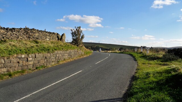
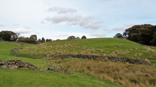
Cliviger is a small village located in the county of Lancashire, England. Situated approximately 3 miles southwest of Burnley, Cliviger lies on the southern edge of the Pennine Hills, providing its residents with breathtaking views of the surrounding countryside.

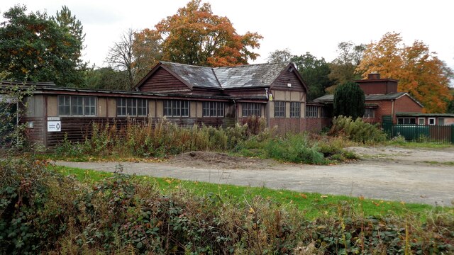
The village is known for its rich history, dating back to the medieval period. It was once an important center for the production of textiles, with numerous mills and factories operating in the area. Today, Cliviger has retained much of its traditional charm, with several well-preserved historic buildings and cottages that add to its picturesque appeal.

One of the notable landmarks in Cliviger is St. John the Divine Church, which dates back to the 15th century. This beautiful church features intricate stained glass windows and a medieval tower, attracting visitors with its architectural beauty and historical significance.

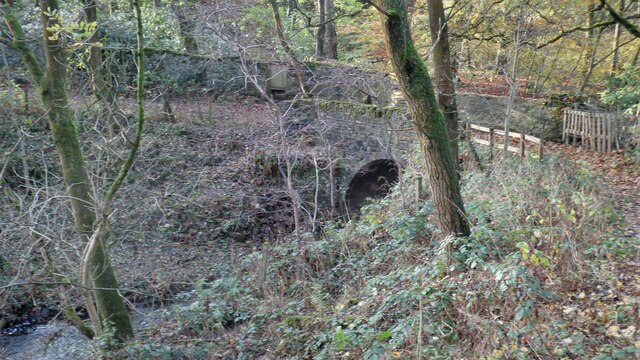
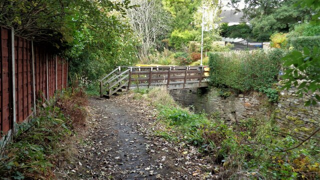
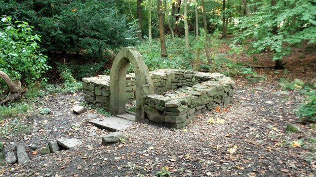
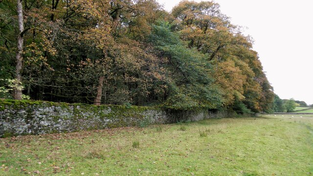
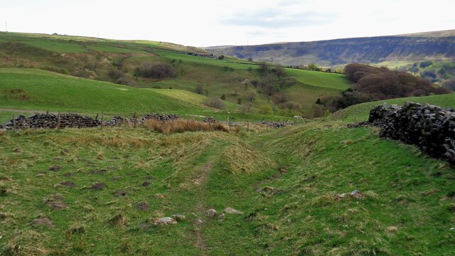
The village is also blessed with an abundance of natural beauty. Cliviger is surrounded by rolling hills, expansive moorlands, and scenic valleys, making it a perfect destination for outdoor enthusiasts. The area offers numerous walking and hiking trails, allowing visitors to explore the stunning landscape and enjoy the tranquility of the countryside.

In terms of amenities, Cliviger has a primary school, a village hall, and a few local shops and pubs that cater to the needs of its residents. Despite its rural setting, the village benefits from its close proximity to major transportation routes, allowing for easy access to nearby towns and cities.

Overall, Cliviger is a charming village that offers a peaceful and idyllic lifestyle, with its rich history, natural beauty, and strong sense of community.

If you have any feedback on the listing, please let us know in the comments section below.

Cliviger Images

Images are sourced within 2km of 53.766197/-2.2065067 or Grid Reference SD8630. Thanks to Geograph Open Source API. All images are credited.

Old Wayside Cross in Tiwneley Park, Burnley Foldys' Cross, an old market cross base in a new cross. Moved to the intersection of footpaths leading towards Todmorden road in Towneley Park, 300 metres southwest of Towneley Hall in Burnley. Grade II Listed <span class="nowrap"><a title="https://historicengland.org.uk/listing/the-list/list-entry/1247301" rel="nofollow ugc noopener" href="https://historicengland.org.uk/listing/the-list/list-entry/1247301">Link</a><img style="margin-left:2px;" alt="External link" title="External link - shift click to open in new window" src="https://s1.geograph.org.uk/img/external.png" width="10" height="10"/></span>. See also <a title="https://www.geograph.org.uk/photo/3569776" href="https://www.geograph.org.uk/photo/3569776">Link</a> and <a title="https://www.geograph.org.uk/photo/1133733" href="https://www.geograph.org.uk/photo/1133733">Link</a>.

Milestone Society National ID: LABU_BUR03
Old Wayside Cross in Tiwneley Park, Burnley
Foldys' Cross, an old market cross base in a new cross. Moved to the intersection of footpaths leading towards Todmorden road in Towneley Park, 300 metres southwest of Towneley Hall in Burnley. Grade II Listed LinkExternal link. See also Link and Link. Milestone Society National ID: LABU_BUR03
Towneley Hall The north east frontage
Towneley Hall
The north east frontage
Park Shelters At Boggart Bridge in Towneley Park Wilderness
Park Shelters
At Boggart Bridge in Towneley Park Wilderness
Ornamental Footbridge In the Wilderness of Towneley Park over Copy Clough
Ornamental Footbridge
In the Wilderness of Towneley Park over Copy Clough
Foxstones Bridge Over the infant River Brun
Foxstones Bridge
Over the infant River Brun
Towneley Railway Tunnel The north portal
Towneley Railway Tunnel
The north portal
Beehive Coke Oven The charging hole decorated for Halloween
Beehive Coke Oven
The charging hole decorated for Halloween
Burnley Way Footbridge Crosses the River Calder to give access to Park Road
Burnley Way Footbridge
Crosses the River Calder to give access to Park Road
Rustic Pavilion For the football fields in Towneley Park
Rustic Pavilion
For the football fields in Towneley Park
Monk's Well In Thanet Lee Wood on the Towneley Estate. Whilst it contains a stone trough, the construction around it is believed to be a re-created Gothick folly.
Monk's Well
In Thanet Lee Wood on the Towneley Estate. Whilst it contains a stone trough, the construction around it is believed to be a re-created Gothick folly.
The Long Causeway at Stump Cross The way marking stone known as Stump Cross is at the top of the roadside embankment on the bend. This stone has not been dressed unlike the Mount Cross which is further along this ancient route
The Long Causeway at Stump Cross
The way marking stone known as Stump Cross is at the top of the roadside embankment on the bend. This stone has not been dressed unlike the Mount Cross which is further along this ancient route
Round Hill There are earthworks marked on the OS map for the hill. There are surface stones visible in that area. More remarkable are the large monoliths built into the field walls around this area and perhaps they had been in the earthworks in times past.
Round Hill
There are earthworks marked on the OS map for the hill. There are surface stones visible in that area. More remarkable are the large monoliths built into the field walls around this area and perhaps they had been in the earthworks in times past.
Estate Walling to Ormerod House The substantial walling encloses the River Brun within the private estate, so this path along the valley has no view of the river.
Estate Walling to Ormerod House
The substantial walling encloses the River Brun within the private estate, so this path along the valley has no view of the river.
New Housing (The Calders) Off Red Lees Road and causing the diversion of public footpaths
New Housing (The Calders)
Off Red Lees Road and causing the diversion of public footpaths
Modern railings on Beehive Coke Oven The railings are around the charging hole of a preserved historic beehive coke oven. There are many remains on this hillside of the banks of ovens and tramways that served them, but only one beehive oven appears complete.
Modern railings on Beehive Coke Oven
The railings are around the charging hole of a preserved historic beehive coke oven. There are many remains on this hillside of the banks of ovens and tramways that served them, but only one beehive oven appears complete.
The Singing Ringing Tree One of East Lancashire's Panopticons
The Singing Ringing Tree
One of East Lancashire's Panopticons
The Singing Ringing Tree One of East Lancashire's Panopticons, but I do not think the view is better from on top of the structure
The Singing Ringing Tree
One of East Lancashire's Panopticons, but I do not think the view is better from on top of the structure
Byway from the Long Causeway A very wide section of the track just before the byway meets the Pennine Bridleway. Thieveley Scout is on the skyline to the right
Byway from the Long Causeway
A very wide section of the track just before the byway meets the Pennine Bridleway. Thieveley Scout is on the skyline to the right
Show me another place!

Cliviger is located at Grid Ref: SD8630 (Lat: 53.766197, Lng: -2.2065067)

Administrative County: Lancashire

District: Burnley

Police Authority: Lancashire

What 3 Words

///cuts.transfers.doors. Near Burnley, Lancashire

Related Wikis

Cliviger

Cliviger is a civil parish in the Borough of Burnley, in Lancashire, England. It is situated to the southeast of Burnley, and northwest of Todmorden....
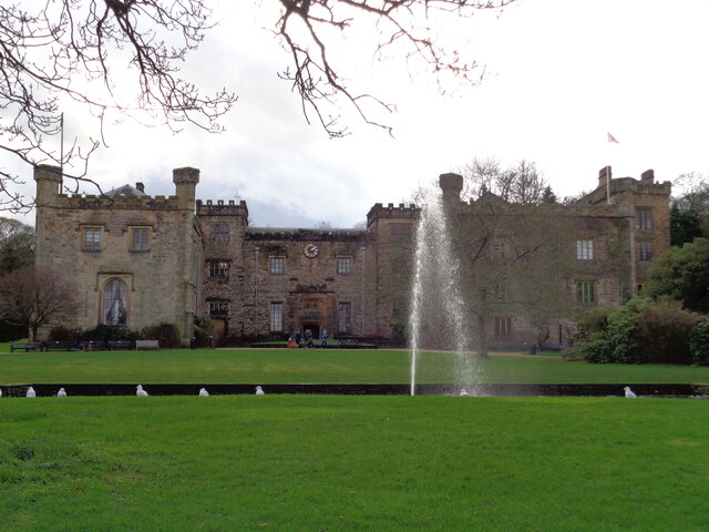
Towneley Park

Towneley Park is owned and managed by Burnley Borough Council and is the largest and most popular park in Burnley, Lancashire, England. The main entrance...

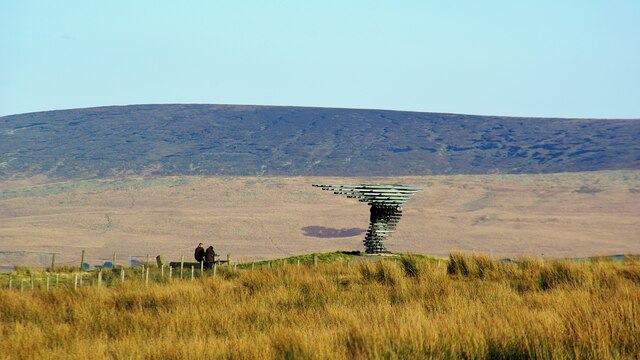
Singing Ringing Tree (sculpture)

The Singing Ringing Tree is a wind powered sound sculpture resembling a tree set in the landscape of the Pennine hill range overlooking Burnley, in Lancashire...

Church of St John the Divine, Holme Chapel

The Church of St John the Divine is in Burnley Road, Holme Chapel, a village in the civil parish of Cliviger, near Burnley, Lancashire, England. It is...

Towneley Colliery

Towneley Colliery or Towneley Desmesne was a coal mine on the Burnley Coalfield in Burnley, Lancashire, England. Sunk in the late 1860s, it was linked...

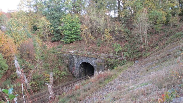
Holme railway station (Lancashire)

Holme railway station served Holme Chapel on the Copy Pit line. The station closed in July 1930 and the line now serves as a non-stop route between Hebden...

Fother Royd Wood

Fother Royd Wood is a woodland in Lancashire, England, near Worsthorne. It covers a total area of 1.03 hectares (2.55 acres). It is owned and managed by...

Hurstwood

Hurstwood is a rural hamlet on the eastern outskirts of Burnley in Lancashire, England. It is in the civil parish of Worsthorne-with-Hurstwood and the...

Nearby Amenities

Located within 500m of 53.766197,-2.2065067
Walk Mill
Place: village
Lat/Long: 53.7667693/-2.207757
Barrier: cattle_grid
Lat/Long: 53.7685151/-2.2081064
Fuel
Monarch Garage
Lat/Long: 53.7660127/-2.2086955
Place Of Worship
Mount Zion Chapel
Denomination: methodist
Religion: christian
Lat/Long: 53.7641771/-2.2019022
Turning Circle
Lat/Long: 53.7684881/-2.2105629
Turning Circle
Lat/Long: 53.7667554/-2.2086222
Turning Circle
Lat/Long: 53.7679176/-2.2095186
Barrier: swing_gate
Lat/Long: 53.76302/-2.2102617
Barrier: stile
Lat/Long: 53.7650436/-2.2126879
Entrance: yes
Lat/Long: 53.7653058/-2.2127983
Leisure: playground
Lat/Long: 53.7666484/-2.2069628
Post Box
Post Box Type: pillar
Ref: BB10 103
Royal Cypher: EVIIR
Royal Cypher Wikidata: Q33102324
Lat/Long: 53.7661618/-2.20637
Railway: crossing
Lat/Long: 53.7660759/-2.210987
Railway: crossing
Lat/Long: 53.7661121/-2.2109581
The data included in this document is from www.openstreetmap.org. The data is made available under ODbL.

Have you been to Cliviger?

Leave your review of Cliviger below (or comments, questions and feedback).