Balmanno Castle

Heritage Site in Perthshire

Scotland

Balmanno Castle

Aberargie A green beside the A913. It was raining heavily here and falling as snow on Castle Law (background)
Aberargie Credit: Richard Webb

Balmanno Castle is a historic fortress located in Perthshire, Scotland. Situated near the village of Bridge of Earn, the castle dates back to the 15th century and is recognized as a designated heritage site.

The castle is built in a typical Scottish tower-house style, featuring thick stone walls and a tall rectangular structure. It is a three-story building with a central tower rising above the surrounding structures. The castle is surrounded by extensive grounds, including a beautiful courtyard and a well-maintained garden.

Balmanno Castle has undergone several renovations and additions over the centuries, with the most significant changes taking place in the 18th century. The interiors of the castle showcase a blend of historical elements and modern comforts, making it an interesting attraction for visitors.

The castle has a rich history and is associated with the Balmanno family, who owned the property for many generations. It has witnessed various significant events and has been home to notable figures throughout its existence. Today, the castle is privately owned and not open to the public. However, its grandeur and picturesque setting make it a popular subject for photography and a notable landmark in the region.

Balmanno Castle is an important part of Scotland's architectural and historical heritage. Its well-preserved structure and stunning surroundings make it a fascinating sight for those interested in Scotland's medieval past.

If you have any feedback on the listing, please let us know in the comments section below.

Balmanno Castle Images

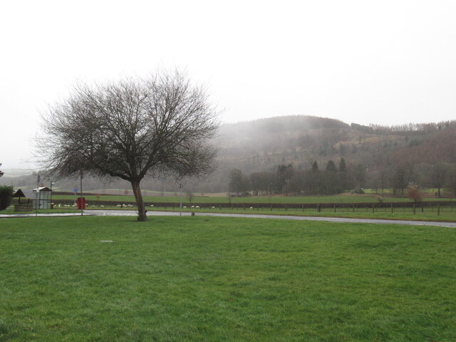
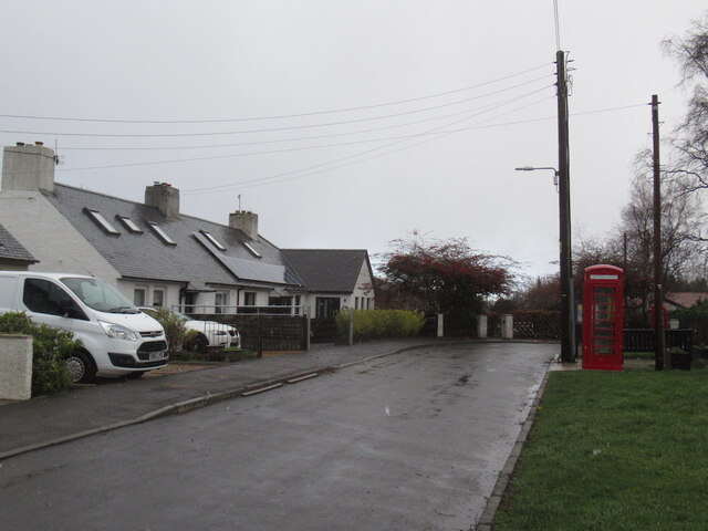
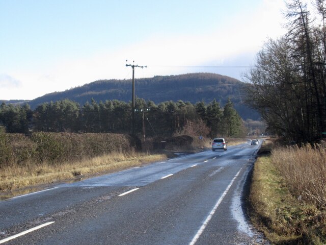
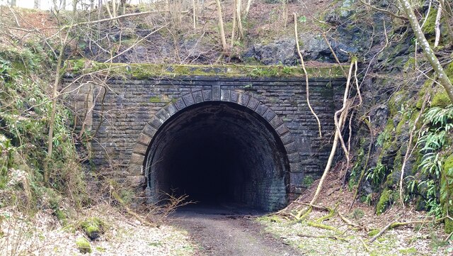
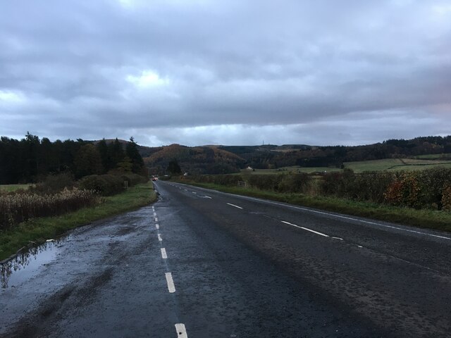
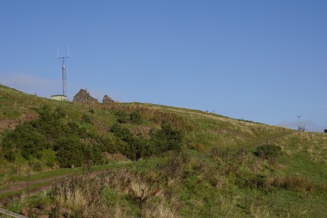
Images are sourced within 2km of 56.3243/-3.3848 or Grid Reference NO1415. Thanks to Geograph Open Source API. All images are credited.

Aberargie A green beside the A913. It was raining heavily here and falling as snow on Castle Law (background)
Aberargie
A green beside the A913. It was raining heavily here and falling as snow on Castle Law (background)
Aberargie The telephone box now houses a defibrillator.
Aberargie
The telephone box now houses a defibrillator.
A912 Crossing the carse east of Bridge of Earn.
A912
Crossing the carse east of Bridge of Earn.
Land awaiting development, Bridge of Earn The fencing has been up for years and there is a roundabout with stubs on both sides of the A912, so there are plans for the farmland to the south as well. This is close to a motorway junction.
Land awaiting development, Bridge of Earn
The fencing has been up for years and there is a roundabout with stubs on both sides of the A912, so there are plans for the farmland to the south as well. This is close to a motorway junction.
Tunnel entrance on the dismantled Glen Farg railway
Houses at Baiglie
Houses at Baiglie
A912 towards Glenfarg
View over farmland to Dron
M90 at Dron The M90 northbound viewed from the bridge at Dron.
M90 at Dron
The M90 northbound viewed from the bridge at Dron.
Bales near Dron Bales in a harvested field to the north of Dron.
Bales near Dron
Bales in a harvested field to the north of Dron.
Potato field near Grant Potato field for harvesting at Grant to the south of Bridge of Earn.
Potato field near Grant
Potato field for harvesting at Grant to the south of Bridge of Earn.
M90 crossing the Ochils The steep descent to Strathearn off the Ochil Hills. Unusually steep and bendy for a motorway.  I travelled on it the morning it opened, quite an improvement on the old road through Glen Farg.
M90 crossing the Ochils
The steep descent to Strathearn off the Ochil Hills. Unusually steep and bendy for a motorway. I travelled on it the morning it opened, quite an improvement on the old road through Glen Farg.
Little Fildie A ruin overlooking the M90.
Little Fildie
A ruin overlooking the M90.
West side of Balmanno Hill A view from near Dron Hill towards typical terrain of the eastern Ochil Hills.  Grassland with numerous big whin patches.  The M90 is just over the skyline.
West side of Balmanno Hill
A view from near Dron Hill towards typical terrain of the eastern Ochil Hills. Grassland with numerous big whin patches. The M90 is just over the skyline.
Field, Dron Hill A papery sludge had recently been sprayed on the field.  There is rougher ground across the burn to the north.
Field, Dron Hill
A papery sludge had recently been sprayed on the field. There is rougher ground across the burn to the north.
Perth & Kinross : The M90 Motorway Heading around a bend in the motorway.
Perth & Kinross : The M90 Motorway
Heading around a bend in the motorway.
Show me another place!

Balmanno Castle is located at Grid Ref: NO1415 (Lat: 56.3243, Lng: -3.3848)

What 3 Words

///mural.brew.speeded. Near Bridge of Earn, Perth & Kinross

Nearby Locations

Balmanno Castle

Related Wikis

Aberargie

Aberargie (Scottish Gaelic: Obar Fhargaidh) is a village in the south eastern region of Perth and Kinross. It lies on the western edge of the old Abernethy...

Bridge of Earn Hospital

The Bridge of Earn Hospital was a health facility in Bridge of Earn, Perth and Kinross, Scotland. == History == The facility was designed as one of seven...

Kilgraston School

Kilgraston School is a Scottish private boarding and day school offering primary school education for boys and girls aged from five to twelve years old...

Bein Inn

The Bein Inn (commonly known as the Famous Bein Inn) is an historic building in Glenfarg, Perth and Kinross, Scotland. A "noted hostelry," according to...

Nearby Amenities

Located within 500m of 56.3243,-3.3848
Dron Mill
1860name: Dron Mill (Flour)
Pont: no
Stobie1783: no
Designation: Historic Mill
Historic: archaeological_site
Source: OS Six inch First series
Lat/Long: 56.3263326/-3.3917193
Power: pole
Lat/Long: 56.3257901/-3.3773279
Power: pole
Lat/Long: 56.3276816/-3.3900382
Power: pole
Lat/Long: 56.3274299/-3.3889627
Power: pole
Lat/Long: 56.3269446/-3.387978
Power: pole
Lat/Long: 56.3264748/-3.3870096
Power: pole
Lat/Long: 56.3259792/-3.3860203
The data included in this document is from www.openstreetmap.org. The data is made available under ODbL.

Have you been to Balmanno Castle?

Leave your review of Balmanno Castle below (or comments, questions and feedback).