Balfluig Castle
Heritage Site in Aberdeenshire
Scotland
Balfluig Castle
Balfluig Castle is a historic site located in Aberdeenshire, Scotland. The castle dates back to the 16th century and is a well-preserved example of a traditional Scottish tower house. The castle is situated on a hill overlooking the surrounding countryside, offering panoramic views of the area.
The castle features a rectangular tower with four storeys, as well as a courtyard enclosed by a curtain wall. The architecture of Balfluig Castle is typical of the period, with thick stone walls, narrow windows, and a spiral staircase leading to the upper levels.
Throughout its history, Balfluig Castle has been home to several prominent Scottish families, including the Leslies and the Forbes. The castle played a role in the turbulent history of Scotland, witnessing battles and political intrigue over the centuries.
Today, Balfluig Castle is a popular tourist attraction and a designated heritage site. Visitors can explore the grounds, including the tower house and courtyard, and learn about the history of the castle through interpretive displays. The castle offers a glimpse into Scotland's past and provides a unique opportunity to experience life in a medieval stronghold.
If you have any feedback on the listing, please let us know in the comments section below.
Balfluig Castle Images
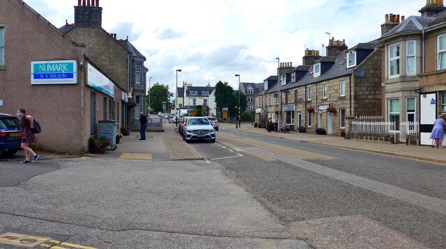
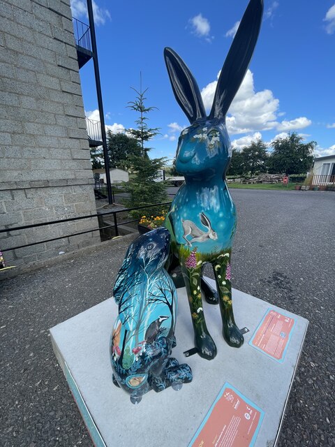
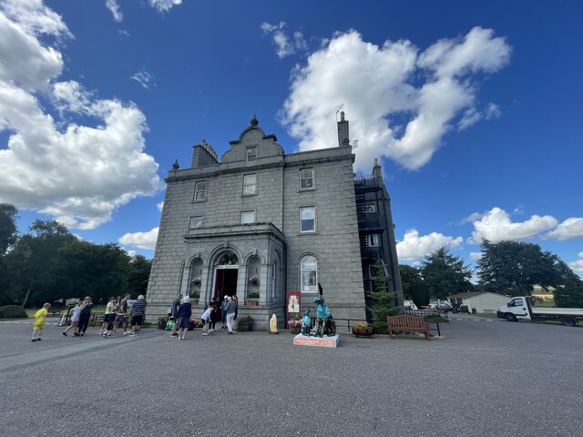
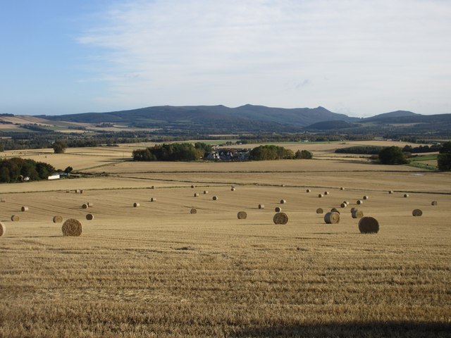
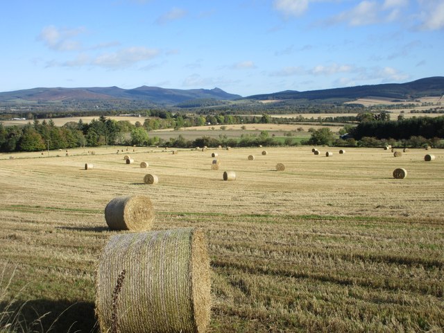
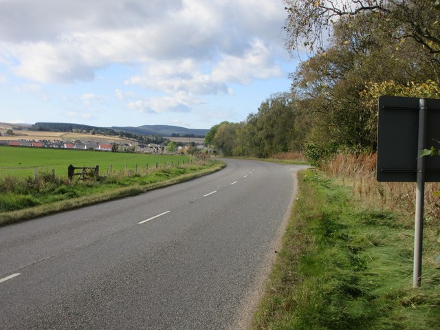
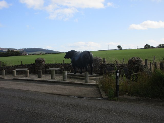
Images are sourced within 2km of 57.2243/-2.6863 or Grid Reference NJ5815. Thanks to Geograph Open Source API. All images are credited.


Balfluig Castle is located at Grid Ref: NJ5815 (Lat: 57.2243, Lng: -2.6863)
What 3 Words
///wool.geologist.divide. Near Alford, Aberdeenshire
Nearby Locations
Related Wikis

Balfluig Castle
Balfluig Castle is an L-plan tower house, dating from the mid-16th century, a mile south of Alford, in the Howe of Alford, Aberdeenshire, Scotland. The...
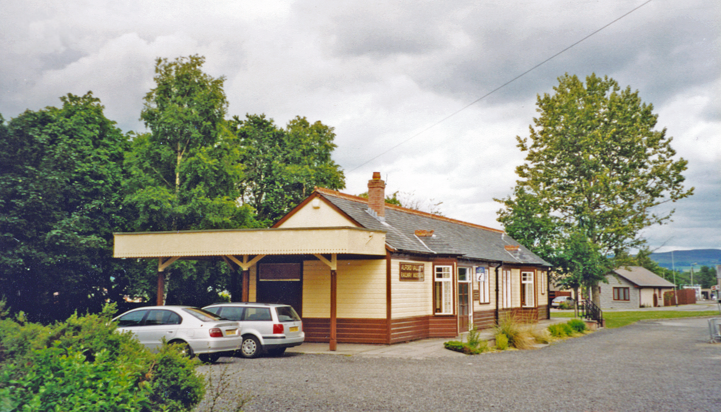
Alford railway station
Alford railway station is a former railway station in Alford, Aberdeenshire which now serves as a terminus for tourist narrow gauge railway, the Alford...

Alford Valley Railway
The Alford Valley Railway is a 2 ft (610 mm) narrow gauge railway in the Howe of Alford, Aberdeenshire, Scotland. It is located at what used to be the...

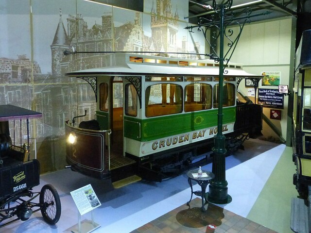
Grampian Transport Museum
Grampian Transport Museum is a transport museum and charitable-based trust located in Alford, Aberdeenshire, Scotland. Its exhibits chart the history of...
Nearby Amenities
Located within 500m of 57.2243,-2.6863Have you been to Balfluig Castle?
Leave your review of Balfluig Castle below (or comments, questions and feedback).