Bale Hall

Heritage Site in Norfolk North Norfolk

England

Bale Hall

Farm road and trailer, Field Dalling
Farm road and trailer, Field Dalling Credit: Oliver Dixon

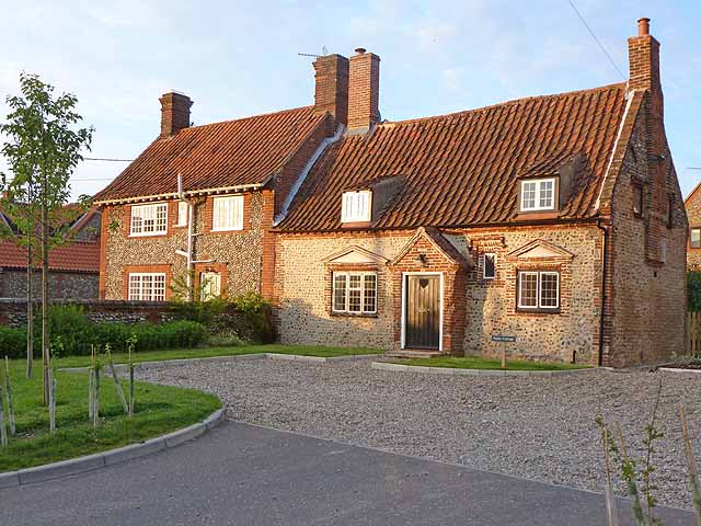
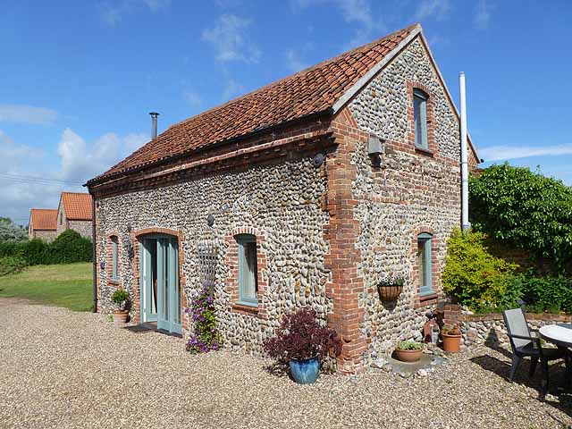
Bale Hall, located in Norfolk, England, is a historic heritage site with a rich history dating back several centuries. This Grade II listed building is an excellent example of Tudor architecture and is known for its distinctive features that have been well-preserved over time.

Originally built in the 16th century, Bale Hall served as a manor house for the Bale family, who were prominent landowners in the area. The hall was constructed using local materials such as flint and brick, with a thatched roof adding to its traditional charm. One of its most notable features is the magnificent timber-framed façade, showcasing intricate carvings and decorative details.

Throughout its history, Bale Hall has undergone various modifications and renovations. In the 18th century, a Georgian wing was added to the original structure, blending seamlessly with the existing architecture. This extension provided additional living space and enhanced the functionality of the hall.

Today, Bale Hall stands as a testament to its heritage and is open to the public as a museum and tourist attraction. Visitors can explore the beautifully maintained gardens, which feature manicured lawns, flower beds, and a stunning herbaceous border. The interior of the hall offers a glimpse into the past, with period furnishings, artwork, and artifacts on display.

Bale Hall also hosts various events and exhibitions throughout the year, including guided tours, educational programs, and cultural activities. Its historical significance, architectural beauty, and well-preserved condition make it a must-visit destination for history enthusiasts and those interested in the heritage of Norfolk.

If you have any feedback on the listing, please let us know in the comments section below.

Bale Hall Images

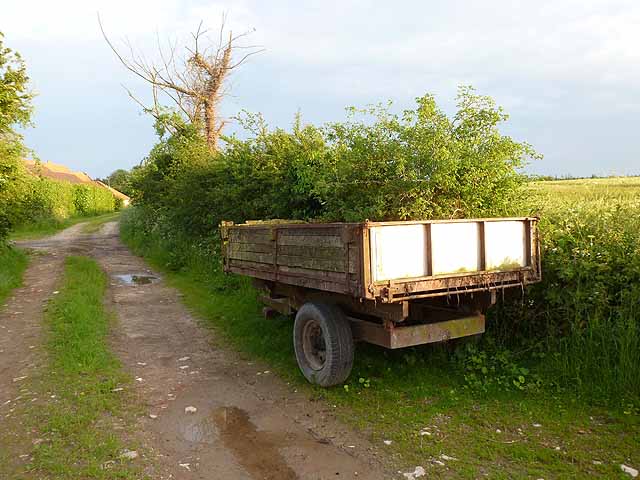
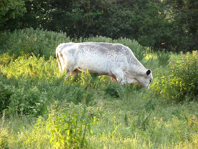
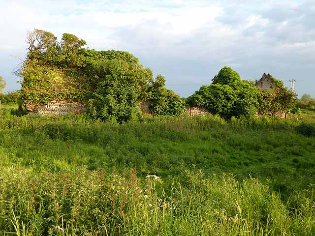
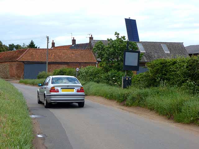
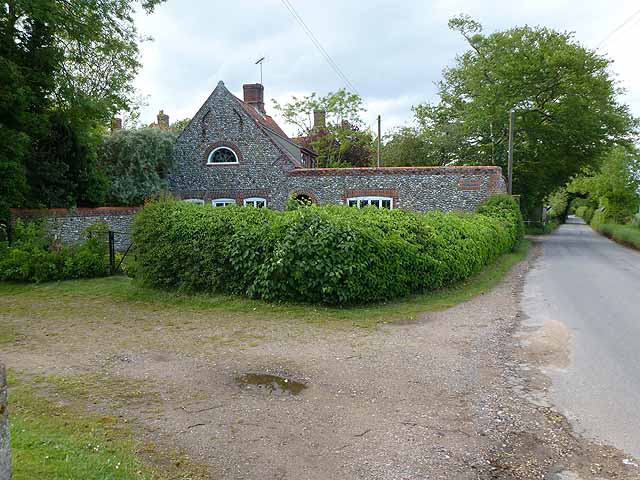
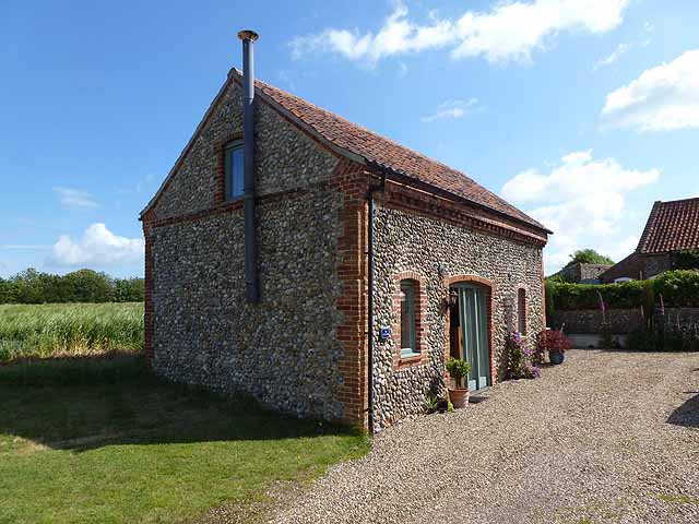
Images are sourced within 2km of 52.897/0.982 or Grid Reference TG0037. Thanks to Geograph Open Source API. All images are credited.

Farm road and trailer, Field Dalling
White bull at Field Dalling Possibly a British White; not, I think, a Charollais. The inside of the ears are dark, which is a distinctive feature of the breed. In a field with several cows.
White bull at Field Dalling
Possibly a British White; not, I think, a Charollais. The inside of the ears are dark, which is a distinctive feature of the breed. In a field with several cows.
Ruined farm building, Field Dalling
Cottages at Field Dalling Two cottages of traditional Norfolk construction in the village centre.
Cottages at Field Dalling
Two cottages of traditional Norfolk construction in the village centre.
Field of asparagus, Field Dalling A widely-grown crop in Norfolk.
Field of asparagus, Field Dalling
A widely-grown crop in Norfolk.
Jolly Farmers, Langham Road, Field Dalling Possibly an old pub. The Old Bakehouse stands at the far end of the row.
Jolly Farmers, Langham Road, Field Dalling
Possibly an old pub. The Old Bakehouse stands at the far end of the row.
The Old Bakehouse, Langham Road, Field Dalling The Jolly Farmers stands at the far end of the row.
The Old Bakehouse, Langham Road, Field Dalling
The Jolly Farmers stands at the far end of the row.
Cross roads near Bale On the edge of Bale village. Bale church can be seen in the distance <a href="https://www.geograph.org.uk/gridref/TG0136">TG0136</a>.
Cross roads near Bale
On the edge of Bale village. Bale church can be seen in the distance TG0136.
Speed limit warning sign, entering Bale village At the approach to many of the villages in Norfolk there are electronic speed limit warning signs which flash if approaching motorists are exceeding 30mph.
Speed limit warning sign, entering Bale village
At the approach to many of the villages in Norfolk there are electronic speed limit warning signs which flash if approaching motorists are exceeding 30mph.
Roadside house near Bale Hall House of traditional construction.
Roadside house near Bale Hall
House of traditional construction.
Junction of minor roads near Stowe Ollands
Barley field in evening light Near Brinton; Turf Common Plantation in the valley beyond.
Barley field in evening light
Near Brinton; Turf Common Plantation in the valley beyond.
Little Barn, Field Dalling A derelict old barn was imaginatively restored to create an excellent self-catering cottage.
Little Barn, Field Dalling
A derelict old barn was imaginatively restored to create an excellent self-catering cottage.
Little Barn, Field Dalling A derelict old barn was imaginatively restored to create an excellent self-catering cottage.
Little Barn, Field Dalling
A derelict old barn was imaginatively restored to create an excellent self-catering cottage.
A148 westbound near Stowe Ollands
A148 westbound near Bale
A148 westbound at filling station near Rectory Farm
Filling station by the A148 The A148 runs 44 miles from King's Lynn to Cromer. It is entirely within Norfolk. <span class="nowrap"><a title="http://www.sabre-roads.org.uk/wiki/index.php?title=A148" rel="nofollow ugc noopener" href="http://www.sabre-roads.org.uk/wiki/index.php?title=A148">Link</a><img style="margin-left:2px;" alt="External link" title="External link - shift click to open in new window" src="https://s1.geograph.org.uk/img/external.png" width="10" height="10"/></span>
Filling station by the A148
The A148 runs 44 miles from King's Lynn to Cromer. It is entirely within Norfolk. LinkExternal link
Show me another place!

Bale Hall is located at Grid Ref: TG0037 (Lat: 52.897, Lng: 0.982)

Administrative County: Norfolk

District: North Norfolk

Police Authority: Norfolk

What 3 Words

///mixer.calibrate.goal. Near Briston, Norfolk

Nearby Locations

Bale Wood Bale Hall

Related Wikis

Bale, Norfolk

Bale is a village and former civil parish, now in the parish of Gunthorpe, in the North Norfolk district, in the county of Norfolk, England. The village...
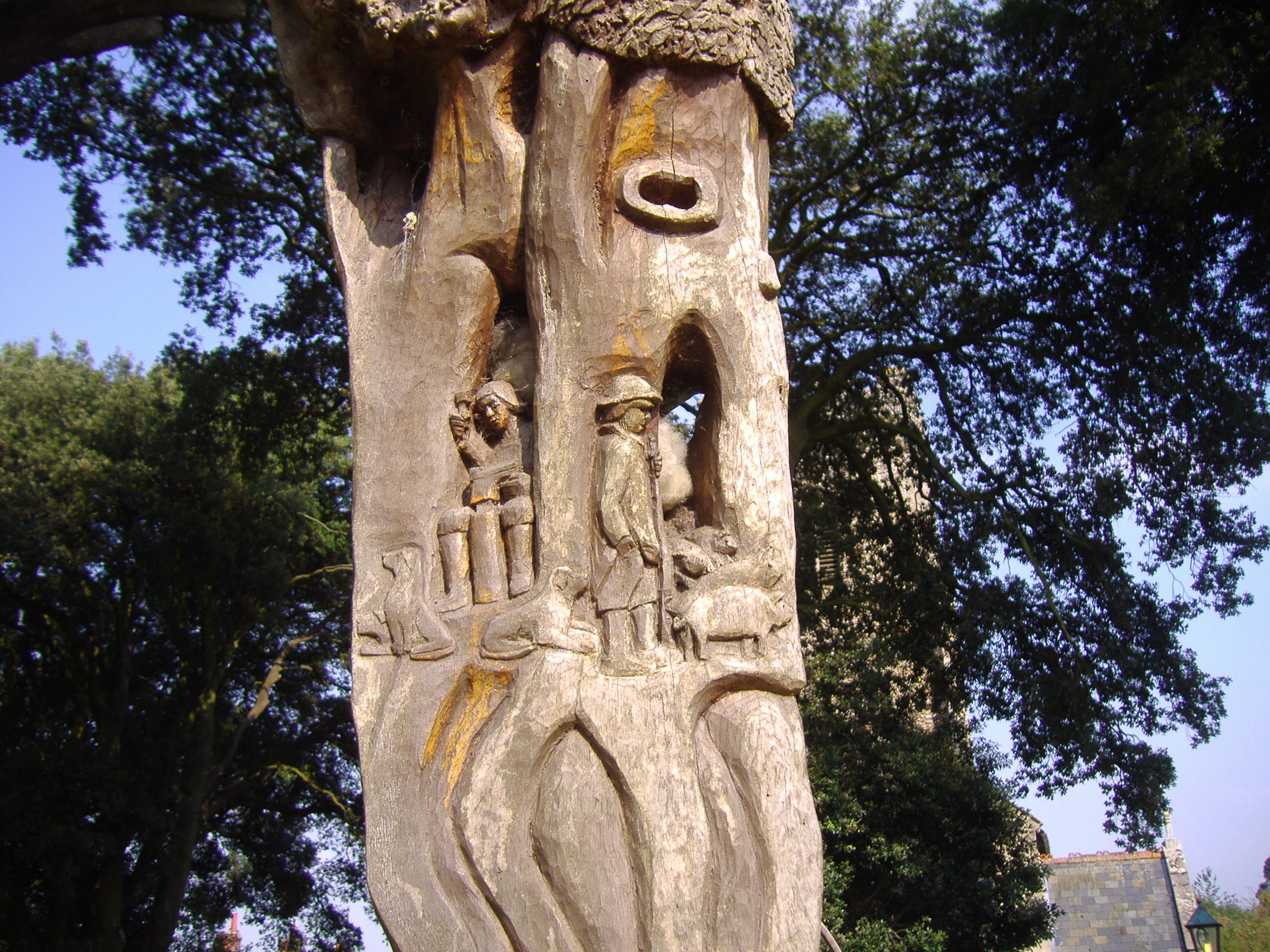
Bale Oak

The Bale Oak was a large oak tree in Bale, a village in northern Norfolk, England that was over 500 years old when it was felled in 1860. It measured 36...

Field Dalling

Field Dalling is a village and civil parish in the English county of Norfolk. The village is located 4.5 miles (7.2 km) west of Holt and 23 miles (37 km...

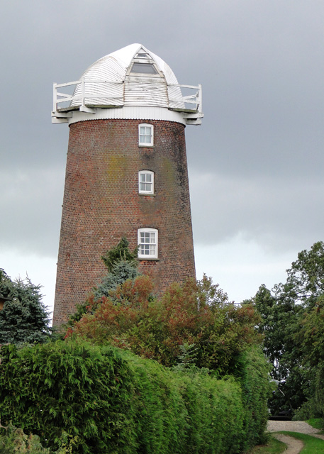
Lower Green Mill, Hindringham

Lower Green Mill is a tower mill at Lower Green, located to the north of the village of Hindringham in the English county of Norfolk. The mill stands on...

Nearby Amenities

Located within 500m of 52.897,0.982
Give Way
Lat/Long: 52.8989128/0.988233
Give Way
Lat/Long: 52.8990147/0.9880782
Give Way
Lat/Long: 52.8988662/0.9880363
The data included in this document is from www.openstreetmap.org. The data is made available under ODbL.

Have you been to Bale Hall?

Leave your review of Bale Hall below (or comments, questions and feedback).