Balcarres House

Heritage Site in Fife

Scotland

Balcarres House

Entrance to Balcares estate The view of the gate at the start of a footpath from the main road at Colinsburgh which leads to one of the gatehouses <a href="https://www.geograph.org.uk/photo/414206">NO4705 : Gatehouse, Balniel</a> on the northern side of the estate.
Entrance to Balcares estate Credit: Sandy Gemmill

Balcarres House is a historic mansion located in Colinsburgh, Fife, Scotland. It is a Category A listed building and is recognized as a significant heritage site. The house dates back to the 16th century, with subsequent additions and alterations made over the centuries, resulting in a unique architectural blend of styles.

The original structure was built by the Bruce family, who held the estate for generations. In the 17th century, the property was acquired by the Lindsay family, who expanded and enhanced the house. Notably, the renowned architect William Burn was commissioned to redesign the mansion in the early 19th century, adding a distinctive Scottish Baronial style to the existing structure.

Balcarres House boasts an impressive façade with turrets, crow-stepped gables, and ornate stone detailing. The interior features grand reception rooms, a stunning staircase, and a remarkable collection of artworks and antique furniture. The house is surrounded by well-maintained gardens, including a walled garden, a terraced area, and a woodland walk.

The mansion has strong historical connections, with several notable figures associated with it. These include the Earls of Crawford and Balcarres, who played important roles in Scottish politics and society. Additionally, the estate served as a convalescent home during World War I and II.

Today, Balcarres House is privately owned and not open to the public. However, the exterior can still be admired from the surrounding grounds, and the property remains an iconic landmark in the area, showcasing the rich architectural heritage of Fife.

If you have any feedback on the listing, please let us know in the comments section below.

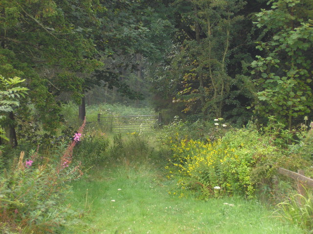
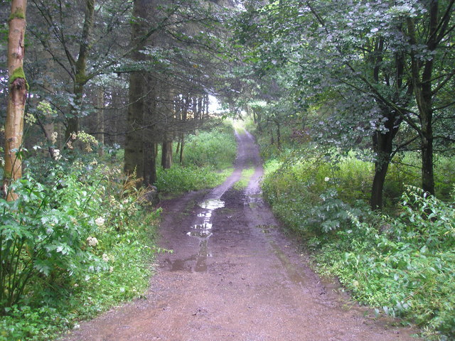
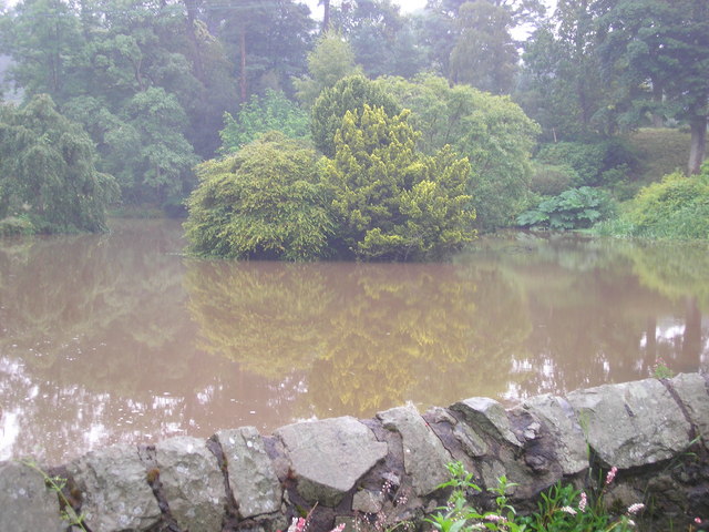
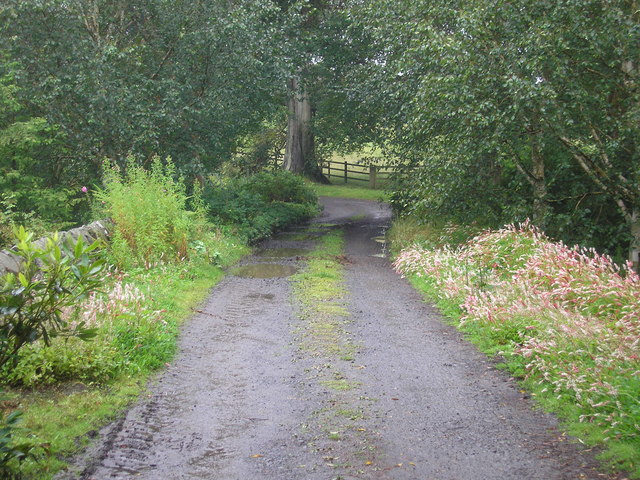
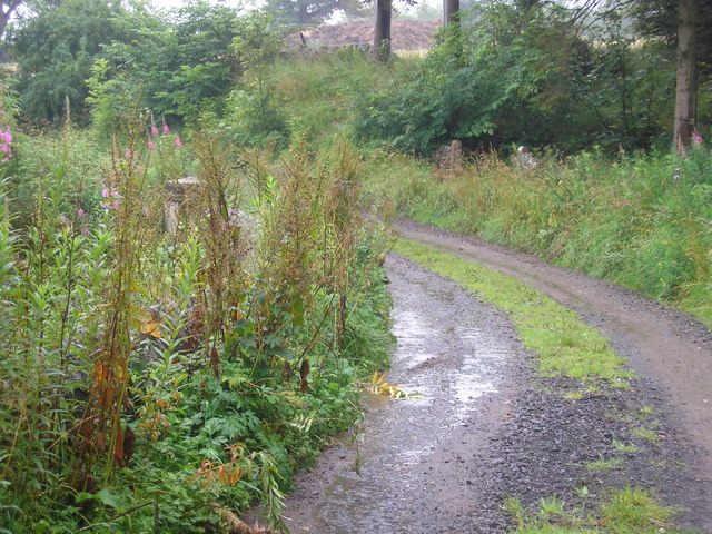
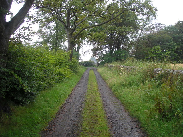
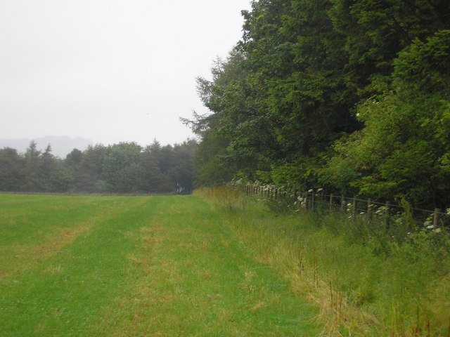
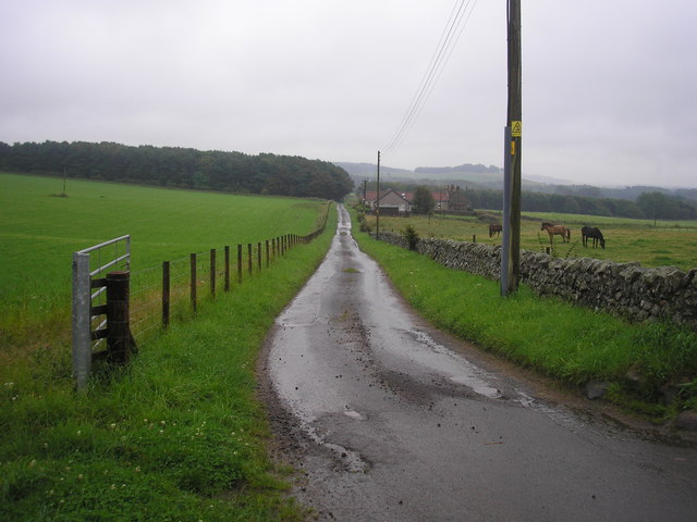
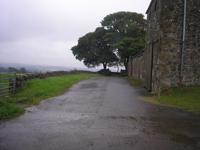
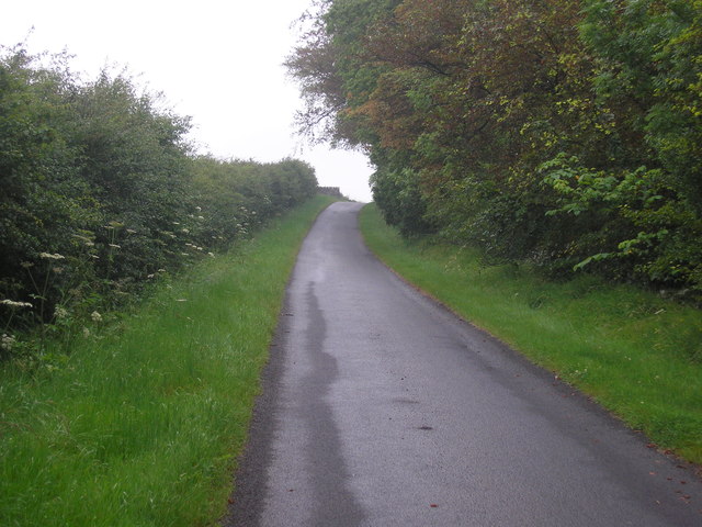
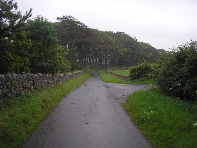
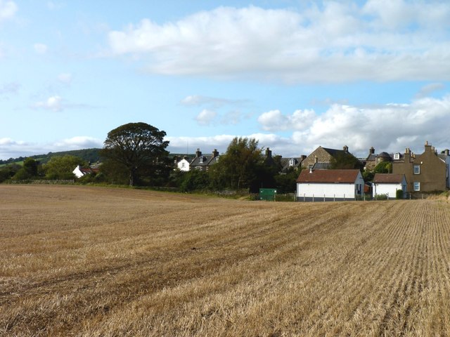
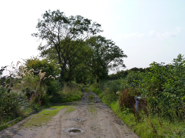
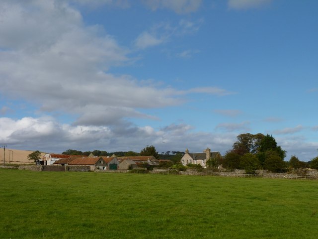
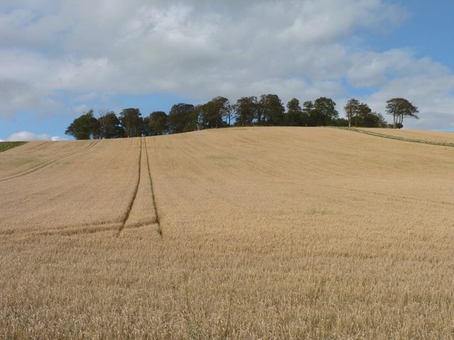
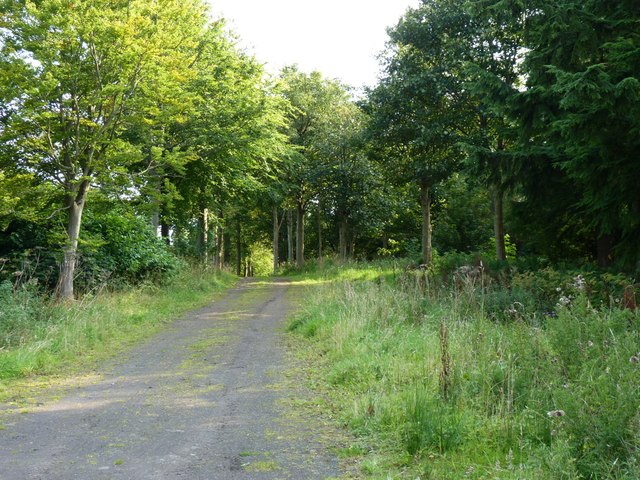
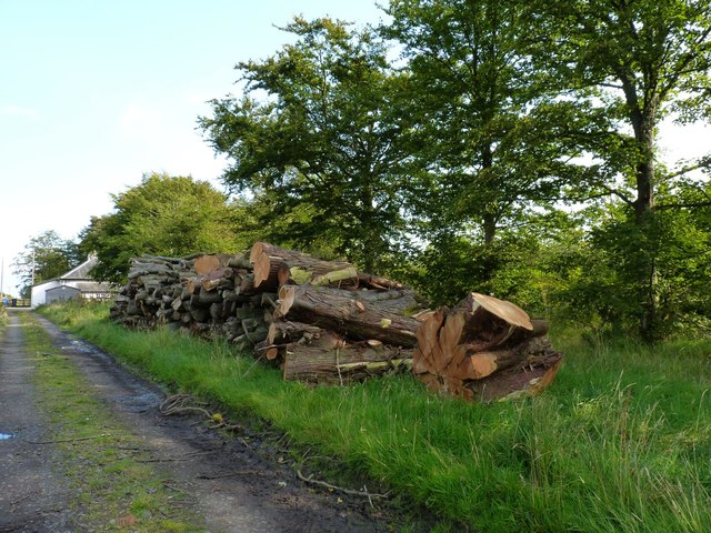
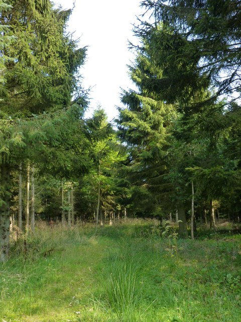
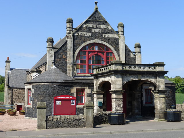
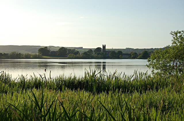
Balcarres House Images

Images are sourced within 2km of 56.23/-2.847 or Grid Reference NO4704. Thanks to Geograph Open Source API. All images are credited.

Entrance to Balcares estate The view of the gate at the start of a footpath from the main road at Colinsburgh which leads to one of the gatehouses <a href="https://www.geograph.org.uk/photo/414206">NO4705 : Gatehouse, Balniel</a> on the northern side of the estate.
Entrance to Balcares estate
The view of the gate at the start of a footpath from the main road at Colinsburgh which leads to one of the gatehouses NO4705 : Gatehouse, Balniel on the northern side of the estate.
Estate Track The estate track which crosses the burn/stream which flows through Balcares estate.
Estate Track
The estate track which crosses the burn/stream which flows through Balcares estate.
Mill pond The view of the mill pond as seen from the footbridge which crosses the river/stream which flows through the estate.
Mill pond
The view of the mill pond as seen from the footbridge which crosses the river/stream which flows through the estate.
Bridge over the river at the entrance to the mill pond The view of the bridge which crosses the Den Burn at the entrance to the mill pond <a href="https://www.geograph.org.uk/photo/2537731">NO4704 : Mill pond</a>.
Bridge over the river at the entrance to the mill pond
The view of the bridge which crosses the Den Burn at the entrance to the mill pond NO4704 : Mill pond.
Bridge over the Den Burn
Estate track
Estate track
Field bordered by Transvaal Wood The view of the southern edge of a field bounded on three sides by woodland.  The wood on the southern side is named Transvaal Wood.
Field bordered by Transvaal Wood
The view of the southern edge of a field bounded on three sides by woodland. The wood on the southern side is named Transvaal Wood.
The road from Rires The view of the road that leads to Rires Farm
The road from Rires
The view of the road that leads to Rires Farm
Rires Farm
Rires Farm
Private road in Balcarres Estate
Road junction The view of a junction on the private road through the Balcarres Estate.  The road on the right leads to Rires.
Road junction
The view of a junction on the private road through the Balcarres Estate. The road on the right leads to Rires.
Colinsburgh across the stubble The village seen from the Kilconquhar road.
Colinsburgh across the stubble
The village seen from the Kilconquhar road.
Track to Balcarres Den Footpath leading down into the wooded glen known as Balcarres Den.
Track to Balcarres Den
Footpath leading down into the wooded glen known as Balcarres Den.
Balmakin Farm
Balmakin Farm
Trees beyond the barley Trees on top of the hill known as Kilbrackmont Knock.
Trees beyond the barley
Trees on top of the hill known as Kilbrackmont Knock.
Forest track Leading towards Menmuir.
Forest track
Leading towards Menmuir.
Timber pile Near Broad Lands cottage.
Timber pile
Near Broad Lands cottage.
Woodland path Through the conifer plantation north of Lathallan Mill.
Woodland path
Through the conifer plantation north of Lathallan Mill.
Show me another place!

Balcarres House is located at Grid Ref: NO4704 (Lat: 56.23, Lng: -2.847)

What 3 Words

///handbag.drain.anchovies. Near St Monans, Fife

Nearby Locations

Balcarres House

Related Wikis

Nearby Amenities

Located within 500m of 56.23,-2.847
Turning Circle
Lat/Long: 56.2288297/-2.8392822
Power: pole
Lat/Long: 56.2268758/-2.8428151
Power: pole
Lat/Long: 56.2274608/-2.8439691
Power: pole
Lat/Long: 56.2283911/-2.843942
Power: pole
Lat/Long: 56.2286585/-2.8439308
Power: pole
Lat/Long: 56.2287539/-2.8426029
Power: pole
Lat/Long: 56.228848/-2.8412863
Power: pole
Lat/Long: 56.2289271/-2.8399719
Power: pole
Lat/Long: 56.2292799/-2.8390347
The data included in this document is from www.openstreetmap.org. The data is made available under ODbL.

Have you been to Balcarres House?

Leave your review of Balcarres House below (or comments, questions and feedback).