Baddesley Clinton

Heritage Site in Warwickshire Warwick

England

Baddesley Clinton

Tom O'The Wood country pub and restaurant
Tom O'The Wood country pub and restaurant Credit: Mark Percy

Baddesley Clinton is a stunning heritage site located in Warwickshire, England. This picturesque manor house is surrounded by beautiful gardens, moat, and parkland, making it a popular tourist destination. The property dates back to the 13th century and has a rich and fascinating history.

The manor house itself is a fine example of Medieval and Tudor architecture. It features a striking red-brick exterior with timber-framed gables, giving it a unique and charming appearance. Inside, visitors can explore the various rooms, each one showcasing different periods of history. The Great Hall, with its impressive fireplace and ornate ceiling, is particularly noteworthy.

One of the most intriguing aspects of Baddesley Clinton is its history as a Catholic hiding place during the Reformation. Many secret priest holes were built into the house to provide shelter for Catholic priests who were persecuted during this time. Visitors can discover these hidden chambers and learn about the brave individuals who sought refuge within them.

The gardens at Baddesley Clinton are equally impressive. They have been carefully restored to reflect their original 16th-century design, featuring formal lawns, flower beds, and a walled garden. The moat that surrounds the property adds an extra touch of beauty and tranquility to the surroundings.

Baddesley Clinton is a true gem in Warwickshire's heritage. Its historic significance, stunning architecture, and beautiful gardens make it a must-visit destination for history enthusiasts and nature lovers alike.

If you have any feedback on the listing, please let us know in the comments section below.

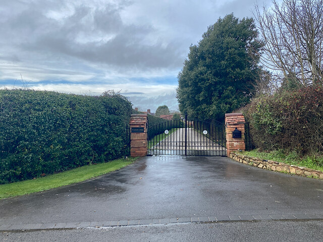
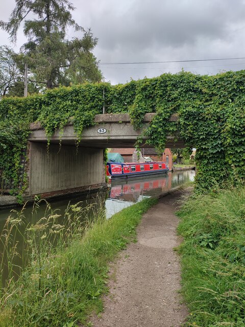
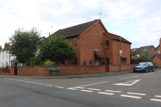
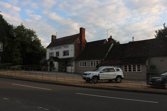
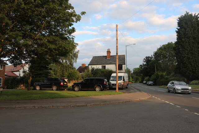
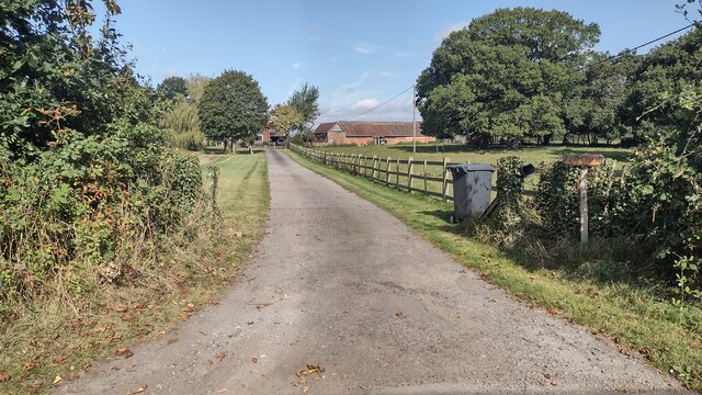
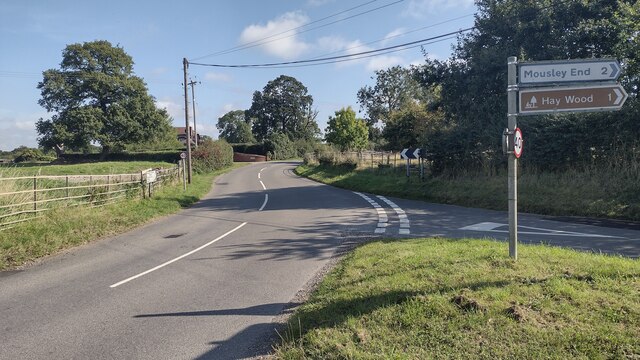
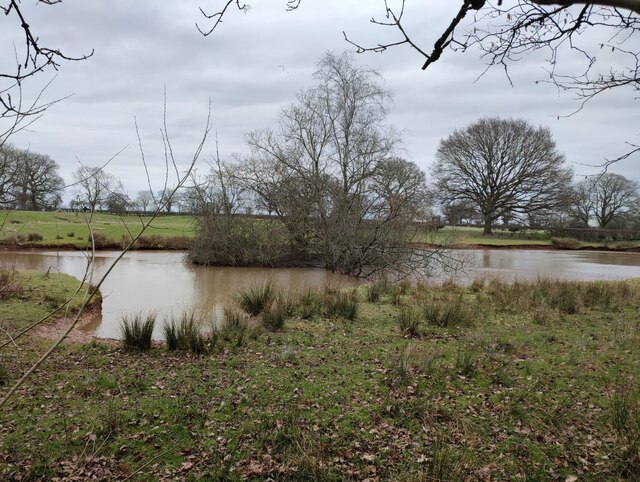
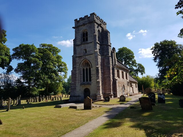
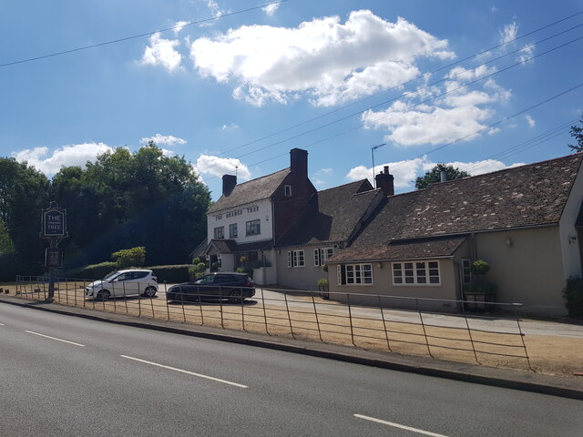
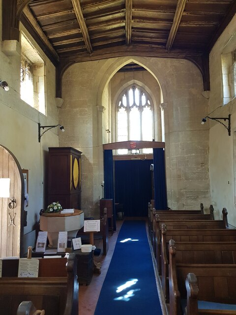
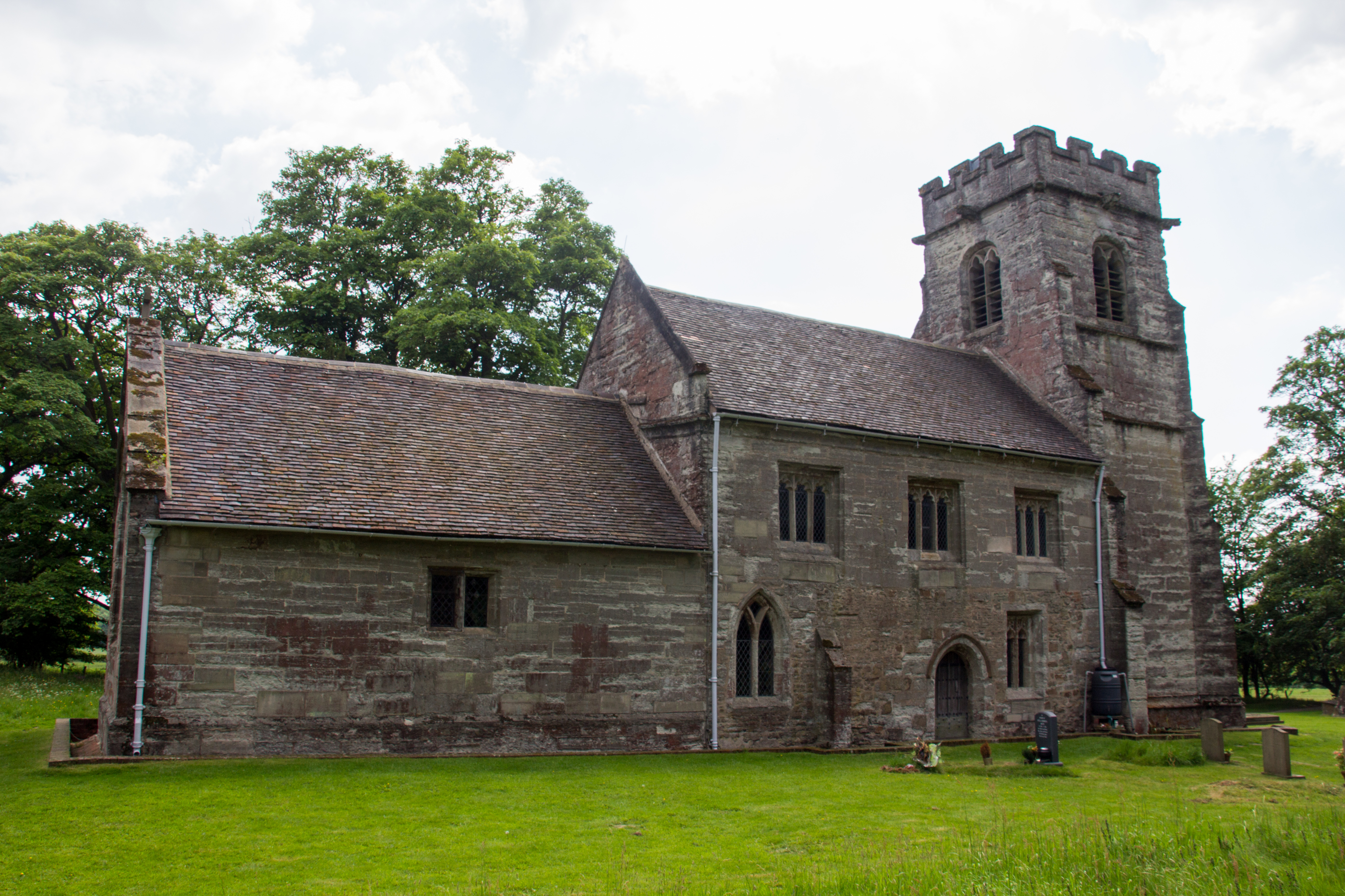
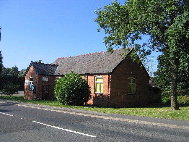
Baddesley Clinton Images

Images are sourced within 2km of 52.341/-1.709 or Grid Reference SP1971. Thanks to Geograph Open Source API. All images are credited.

Tom O'The Wood country pub and restaurant
Grand Union Canal at Turner's Green
Approaching Turner's Green Finwood Road drops down into the canalside hamlet.
Approaching Turner's Green
Finwood Road drops down into the canalside hamlet.
Southwest on Finwod Road Finwood Road turns south from the Old Warwick Road for Turner's Green, ahead, and Lowsonford.
Southwest on Finwod Road
Finwood Road turns south from the Old Warwick Road for Turner's Green, ahead, and Lowsonford.
Gates to Windmill Cottage, Turner's Green An entrance on Finwood Road. Old maps show Windmill House here and a circular feature where a windmill  might have been. This is the same relatively high ground as the Rowington Mill site <a href="https://www.geograph.org.uk/photo/7378320">SP2070 : Rowington Mill, Rowington Green</a>.
Gates to Windmill Cottage, Turner's Green
An entrance on Finwood Road. Old maps show Windmill House here and a circular feature where a windmill might have been. This is the same relatively high ground as the Rowington Mill site SP2070 : Rowington Mill, Rowington Green.
Turner's Green Bridge
Bakehouse Lane, Chadwick End From Birmingham Road
Bakehouse Lane, Chadwick End
From Birmingham Road
The Orange Tree, Chadwick End
Warwick Road, Chadwick End
Rising Lane, Baddesley Clinton
Birmingham Road, Baddesley Clinton
The entrance to Pheasant Lakes Farm, Wroxall
Path up to Green Farm Path and drive up to Green Farm
Path up to Green Farm
Path and drive up to Green Farm
Rising Lane Rising Lane passing the turn to Mousley End
Rising Lane
Rising Lane passing the turn to Mousley End
Pond on the edge of Hay Wood
St Michael's, Baddesley Clinton, Warwickshire  Next to but not part of the National Trust property.
St Michael's, Baddesley Clinton, Warwickshire
Next to but not part of the National Trust property.
The Orange Tree, Chadwick End
St Michael's Church, Baddesley Clinton (interior 1)
Show me another place!

Baddesley Clinton is located at Grid Ref: SP1971 (Lat: 52.341, Lng: -1.709)

Administrative County: Warwickshire

District: Warwick

Police Authority: Warwickshire

What 3 Words

///steps.whom.sparrows. Near Wroxall, Warwickshire

Related Wikis

Baddesley Clinton

Baddesley Clinton (grid reference SP199714) is a moated manor house, about 8 miles (13 km) north-west of the town of Warwick, in the village of Baddesley...

Kingswood, Warwickshire

Kingswood is an area in the civil parishes of Lapworth and Rowington in Warwick District, Warwickshire, England. It forms the main residential area of...

Lapworth railway station

Lapworth railway station serves the village of Kingswood, Warwickshire, near the village of Lapworth from which it takes its name. It has two platforms...

Kingswood Junction

Kingswood Junction (grid reference SP185709) is a canal junction where the Stratford-upon-Avon Canal meets the Grand Union Canal at Kingswood, Warwickshire...

Baddesley Clinton (village)

Baddesley Clinton is a village and civil parish in Warwickshire, England, about 5+1⁄2 miles (9 km) southeast of Solihull. The village has Anglo-Saxon origins...

Chadwick End

Chadwick End is a small village which straddles the border of Warwickshire and the West Midlands Metropolitan Borough of Solihull, situated 3 miles (5...

Wroxall Abbey

Wroxall Abbey is a substantial Victorian mansion house situated at Wroxall, Warwickshire which was converted for use as a hotel, spa, wedding venue and...

Wren's Cathedral

Wren's Cathedral, properly the Church of St Leonard and now a cathedral of the Communion of Evangelical Episcopal Churches, was originally the Lady Chapel...

Nearby Amenities

Located within 500m of 52.341,-1.709
Barrier: kissing_gate
Foot: yes
Lat/Long: 52.3395862/-1.7035462
Barrier: sally_port
Entrance: yes
Lat/Long: 52.3411351/-1.7084102
Barrier: kissing_gate
Lat/Long: 52.3409284/-1.7109469
Cafe
Barn Restaurant
Source: survey
Lat/Long: 52.3409038/-1.7076793
Shop: books
Lat/Long: 52.3410856/-1.708054
Shop: gift
Source: survey
Lat/Long: 52.3410848/-1.7075452
Entrance: main
Lat/Long: 52.3410956/-1.707415
Bicycle Parking
Lat/Long: 52.3412045/-1.7072686
Defibrillator
Emergency: defibrillator
Indoor: no
Ref: 3528
Ref GB The Circuit: 2A13EF82-3301-4F4B-A1C1-D1293B481B42
Source: survey
Lat/Long: 52.3414004/-1.706979
Bench
Lat/Long: 52.3409481/-1.7081317
Bench
Lat/Long: 52.3406506/-1.7085982
Toilets
Lat/Long: 52.34113/-1.7076597
Tourism: picnic_site
Lat/Long: 52.341694/-1.707794
Visitor Reception
Shop: ticket
Lat/Long: 52.3410876/-1.7074507
Cafe
Note: Just coffee and ice cream
Lat/Long: 52.3411778/-1.7078704
Crossing
Lat/Long: 52.3431966/-1.7072236
Barrier: kissing_gate
Note: Entrance to National Trust land here
Lat/Long: 52.3386883/-1.7144275
Access: no
Barrier: swing_gate
Foot: designated
Material: wood
Wheelchair: yes
Lat/Long: 52.342716/-1.7072702
Barrier: cattle_grid
Lat/Long: 52.3431306/-1.7072228
Power: pole
Ref: 720859
Source: wpd_opendata
Transformer: distribution
Lat/Long: 52.3405047/-1.7045572
Power: pole
Ref: 720858
Source: wpd_opendata
Transformer: distribution
Lat/Long: 52.3411471/-1.7055336
Power: pole
Source: bing
Lat/Long: 52.3410471/-1.7042273
Power: pole
Source: bing
Lat/Long: 52.3414584/-1.7028594
Crossing
Lat/Long: 52.3429354/-1.7072144
Access: permissive
Barrier: swing_gate
Bicycle: no
Foot: yes
Horse: no
Motor Vehicle: no
Lat/Long: 52.3425216/-1.7070446
Crossing
Lat/Long: 52.3425894/-1.7071234
Crossing
Lat/Long: 52.342692/-1.7072424
Access: permissive
Barrier: swing_gate
Bicycle: no
Horse: no
Motor Vehicle: no
Wheelchair: limited
Lat/Long: 52.3413648/-1.715678
The data included in this document is from www.openstreetmap.org. The data is made available under ODbL.

Have you been to Baddesley Clinton?

Leave your review of Baddesley Clinton below (or comments, questions and feedback).