Sides Coppice
Wood, Forest in Warwickshire Warwick
England
Sides Coppice
Sides Coppice is a beautiful woodland area located in Warwickshire, England. Covering an approximate area of 50 acres, it is nestled within the heart of the county, surrounded by picturesque countryside. The coppice is primarily composed of deciduous trees, including oak, ash, birch, and beech, creating a diverse and vibrant forest ecosystem.
The woodland is known for its rich biodiversity, providing a home to a variety of wildlife species. Visitors can often spot deer, badgers, foxes, and a plethora of bird species, making it a popular destination for nature enthusiasts and birdwatchers. The forest floor is abundant with wildflowers, enhancing the beauty of the area during spring and summer.
Sides Coppice offers a range of recreational activities for visitors to enjoy. There are well-maintained walking trails that meander through the woodland, allowing visitors to explore its natural wonders at their own pace. The peaceful atmosphere and tranquil surroundings make it an ideal location for those seeking a break from the hustle and bustle of everyday life.
The woodland is open to the public year-round and is managed by the local forestry commission. In order to preserve the natural ecosystem, certain guidelines and restrictions are in place, such as no camping or fires. However, picnicking and photography are welcome, allowing visitors to fully immerse themselves in the beauty of the woodland.
Overall, Sides Coppice is a hidden gem in Warwickshire, offering a serene and enchanting experience for all who visit. Its captivating landscapes and diverse wildlife make it a must-visit destination for nature lovers and those seeking a peaceful retreat in the heart of the English countryside.
If you have any feedback on the listing, please let us know in the comments section below.
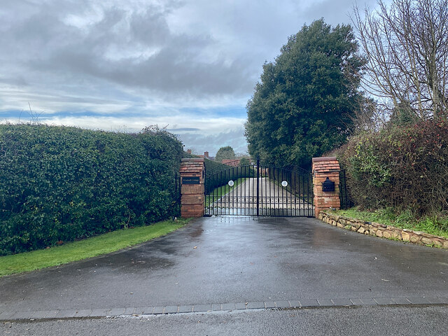
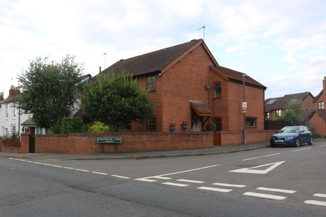
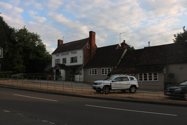
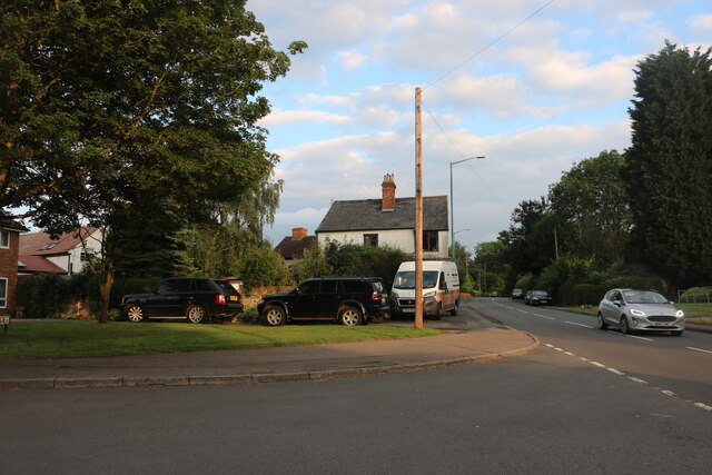
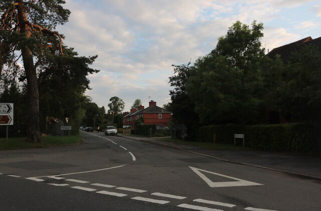
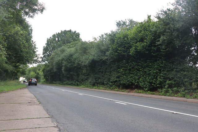
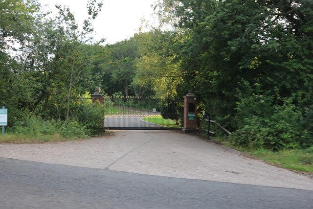
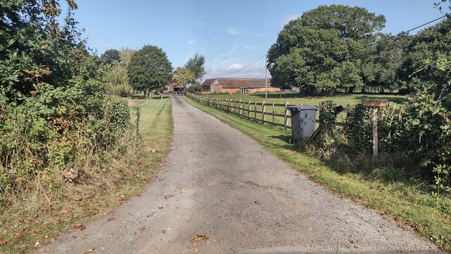
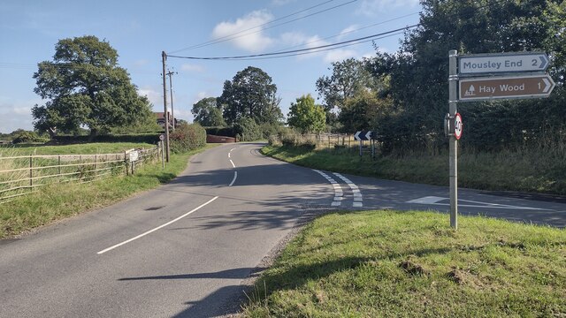
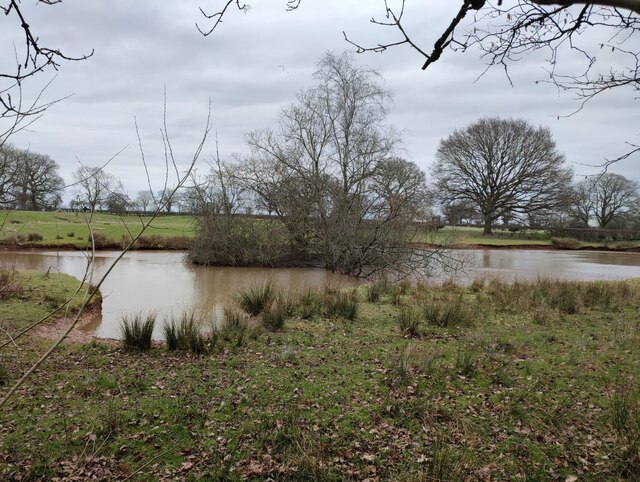
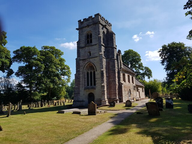
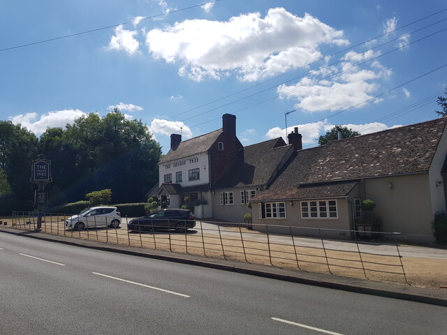
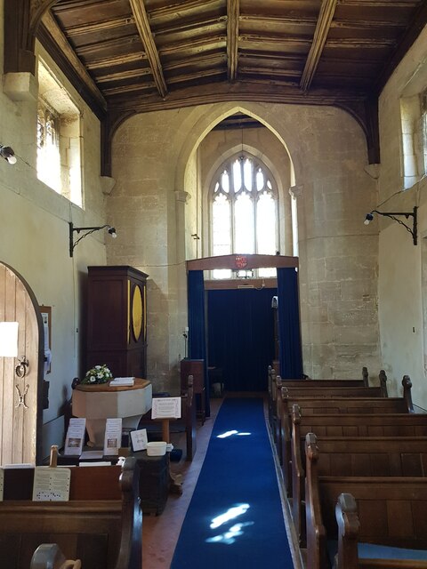
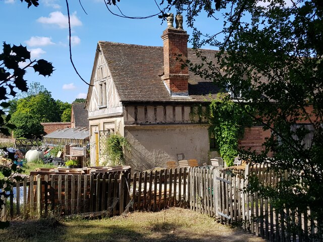
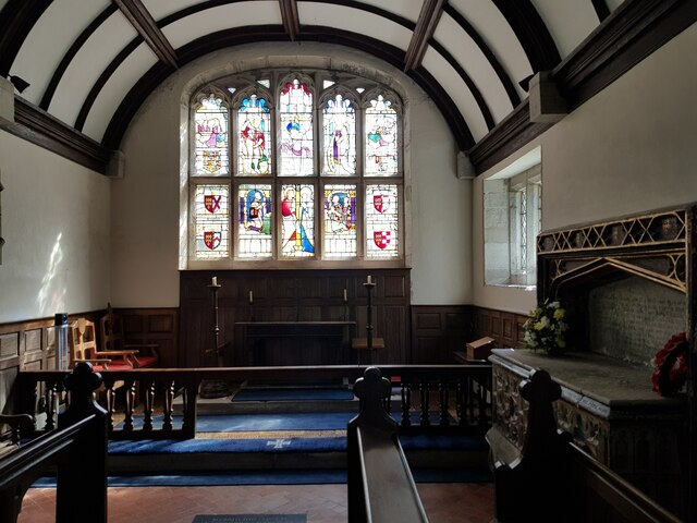
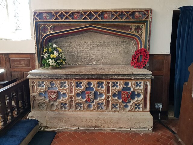
Sides Coppice Images
Images are sourced within 2km of 52.344806/-1.7120678 or Grid Reference SP1971. Thanks to Geograph Open Source API. All images are credited.
Sides Coppice is located at Grid Ref: SP1971 (Lat: 52.344806, Lng: -1.7120678)
Administrative County: Warwickshire
District: Warwick
Police Authority: Warwickshire
What 3 Words
///gasping.limitless.grouping. Near Wroxall, Warwickshire
Nearby Locations
Related Wikis

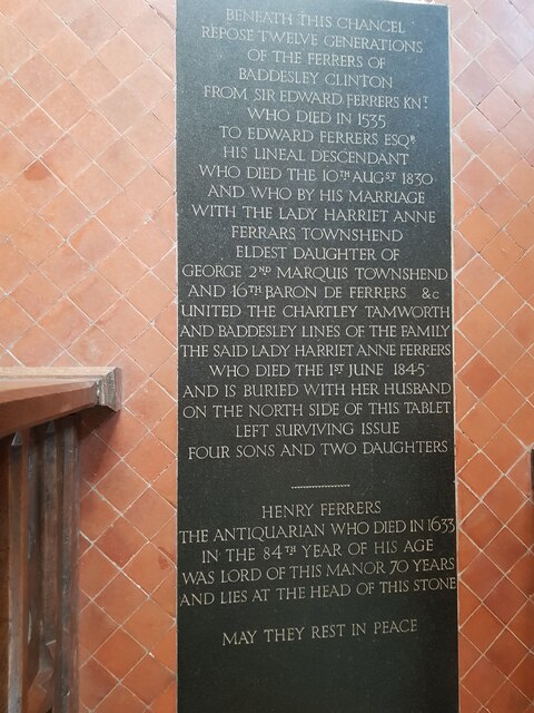
Baddesley Clinton
Baddesley Clinton (grid reference SP199714) is a moated manor house, about 8 miles (13 km) north-west of the town of Warwick, in the village of Baddesley...

Kingswood, Warwickshire
Kingswood is an area in the civil parishes of Lapworth and Rowington in Warwick District, Warwickshire, England. It forms the main residential area of...

Lapworth railway station
Lapworth railway station serves the village of Kingswood, Warwickshire, near the village of Lapworth from which it takes its name. The station has two...
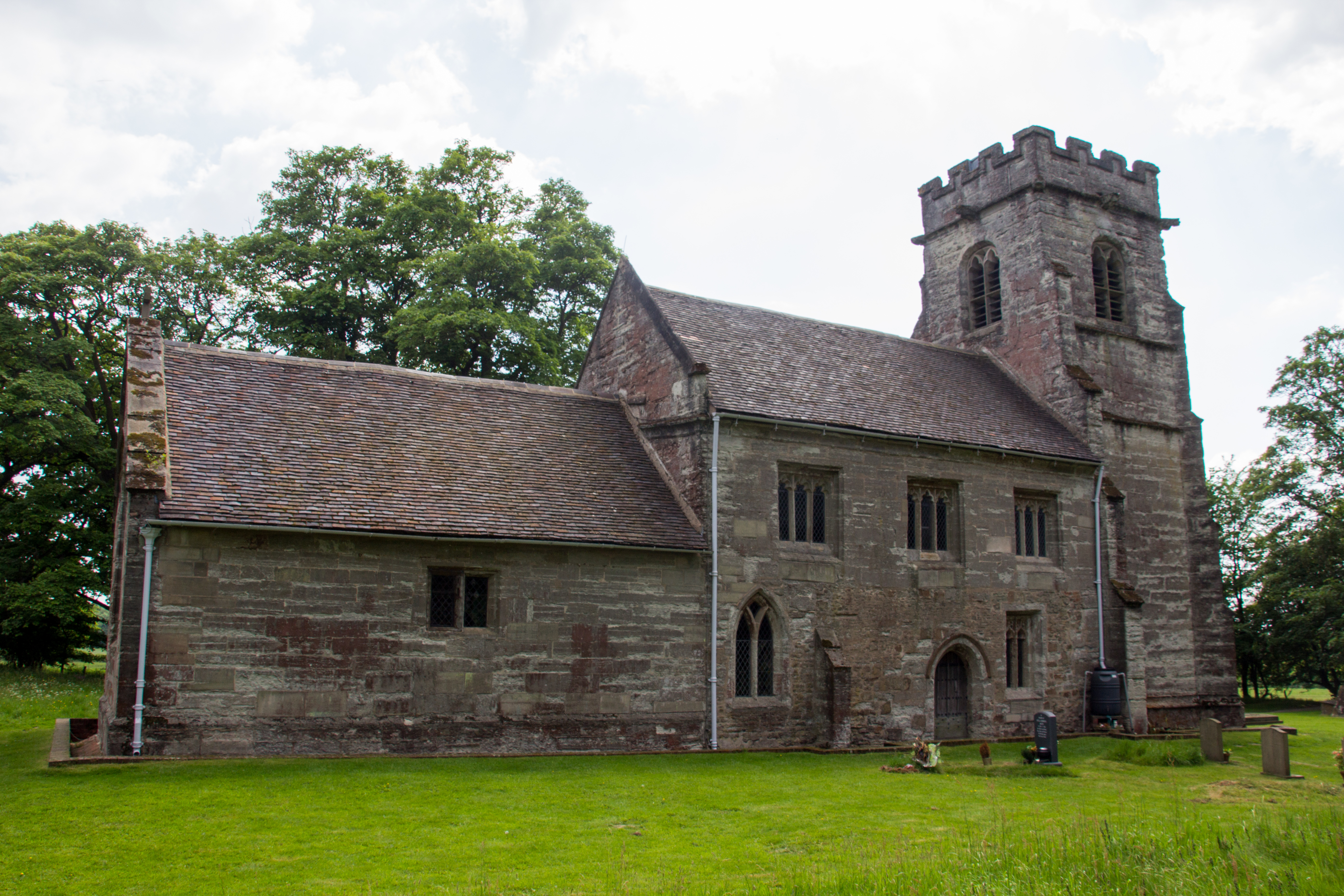
Baddesley Clinton (village)
Baddesley Clinton is a village and civil parish in Warwickshire, England, about 5+1⁄2 miles (9 km) southeast of Solihull. The village has Anglo-Saxon origins...
Chadwick End
Chadwick End is a small village which straddles the border of Warwickshire and the West Midlands Metropolitan Borough of Solihull, situated 3 miles (5...

Kingswood Junction
Kingswood Junction (grid reference SP185709) is a canal junction where the Stratford-upon-Avon Canal meets the Grand Union Canal at Kingswood, Warwickshire...

Packwood House
Packwood House is a timber-framed Tudor manor house in Packwood on the Solihull border near Lapworth, Warwickshire. Owned by the National Trust since...

Wroxall Abbey
Wroxall Abbey is a substantial Victorian mansion house situated at Wroxall, Warwickshire which was converted for use as a hotel, spa, wedding venue and...
Nearby Amenities
Located within 500m of 52.344806,-1.7120678Have you been to Sides Coppice?
Leave your review of Sides Coppice below (or comments, questions and feedback).