Ashdown House

Heritage Site in Berkshire Vale of White Horse

England

Ashdown House

Honeybunch Corner
Honeybunch Corner Credit: Matthew Chadwick

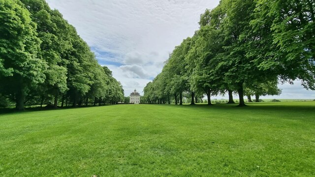
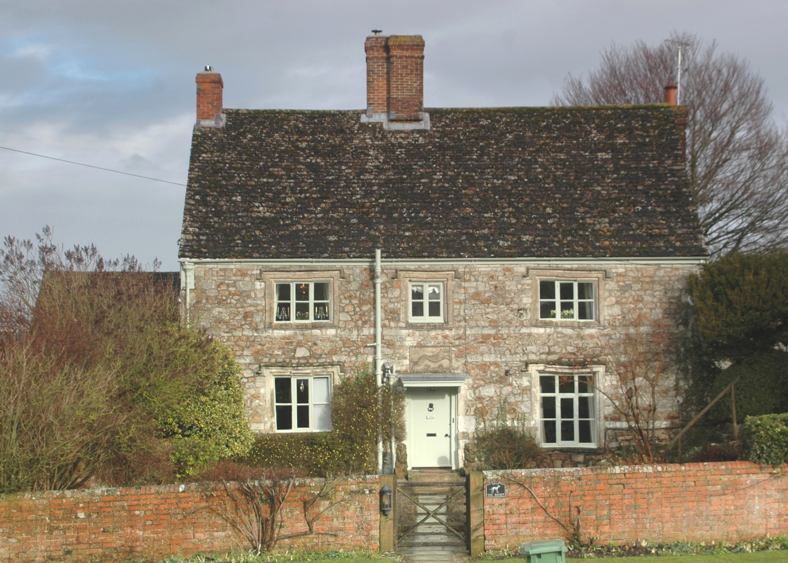
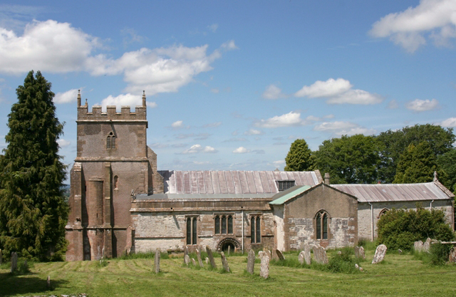
Ashdown House, located in Berkshire, England, is a historic country house and a designated Heritage Site. Built in the 17th century, it is renowned for its unique architecture and picturesque setting. The house was originally constructed for William, 1st Earl of Craven, as a hunting lodge in the Ashdown Forest.

The exterior of Ashdown House is characterized by its red brick façade and Dutch-style gables, which make it stand out among the surrounding landscape. The interior boasts beautifully decorated rooms, many of which have been preserved in their original style. Visitors can explore the grand reception rooms, including the Great Hall with its ornate plasterwork ceilings and the Drawing Room adorned with intricate wood paneling.

One of the highlights of Ashdown House is its rooftop viewing platform, offering panoramic views of the forest and the surrounding countryside. The house is also famous for its unique feature - a secret underground tunnel that connects it to a nearby lake, providing a hidden escape route.

Ashdown House is not only celebrated for its architectural beauty but also for its historical significance. It was used as a safe haven for Queen Elizabeth I during the reign of King James I, and later served as a residence for the Craven family. Today, it is managed by the National Trust and open to the public, allowing visitors to discover its rich history and stunning surroundings.

If you have any feedback on the listing, please let us know in the comments section below.

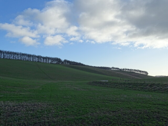
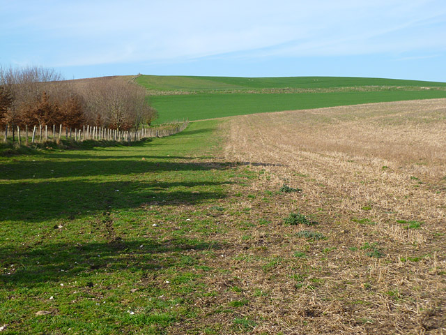
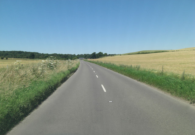
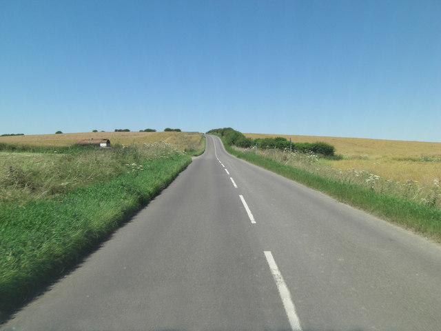
Ashdown House Images

Images are sourced within 2km of 51.536/-1.595 or Grid Reference SU2881. Thanks to Geograph Open Source API. All images are credited.

Honeybunch Corner
Honeybunch Corner
Avenue to Ashdown House
Ashdown House
Ashdown House
Ashdown House A view of the north face of Ashdown House.
Ashdown House
A view of the north face of Ashdown House.
Fields West of Middle Wood A view of fields to the west of Middle Wood, part of Ashdown House's grounds in Lambourn.
Fields West of Middle Wood
A view of fields to the west of Middle Wood, part of Ashdown House's grounds in Lambourn.
Ashdown House, Lambourn Ashdown House is a 17th century hunting lodge now owned by the National Trust. It is set in beautiful parkland and is well worth a visit. For a closer view see <a title="https://www.geograph.org.uk/photo/1875004" href="https://www.geograph.org.uk/photo/1875004">Link</a>
Ashdown House, Lambourn
Ashdown House is a 17th century hunting lodge now owned by the National Trust. It is set in beautiful parkland and is well worth a visit. For a closer view see Link
Sarsen Stones in the Afternoon A late light shot of some of the Sarsen stones, or Grey Wethers as they're sometimes called, near Ashdown House on the Berkshire Downs.
Sarsens are the broken up remnants of a post glacial era silica sandstone layer which formed above the chalk. More info on Sarsen on <span class="nowrap"><a title="http://en.wikipedia.org/wiki/Sarsen" rel="nofollow ugc noopener" href="http://en.wikipedia.org/wiki/Sarsen">Link</a><img style="margin-left:2px;" alt="External link" title="External link - shift click to open in new window" src="https://s1.geograph.org.uk/img/external.png" width="10" height="10"/></span>
The undulation in the field surface is marked on the map as Park Pale in antique script, so is presumably of ancient origin. It looks to be part of a roughly square enclosure around what is now Upper Wood.
Scanned from a print.
Sarsen Stones in the Afternoon
A late light shot of some of the Sarsen stones, or Grey Wethers as they're sometimes called, near Ashdown House on the Berkshire Downs. Sarsens are the broken up remnants of a post glacial era silica sandstone layer which formed above the chalk. More info on Sarsen on LinkExternal link The undulation in the field surface is marked on the map as Park Pale in antique script, so is presumably of ancient origin. It looks to be part of a roughly square enclosure around what is now Upper Wood. Scanned from a print.
Farmland, Ashbury A field of stubble rising to Idstone Down. This is just inside the former county of Berkshire, now part of Oxfordshire. The boundary with Wiltshire is to the left of picture.
Farmland, Ashbury
A field of stubble rising to Idstone Down. This is just inside the former county of Berkshire, now part of Oxfordshire. The boundary with Wiltshire is to the left of picture.
Paddocks at Ashdown Farm About 400 metres south of Ashdown House which, at the time of my visit to the area, was undergoing major roof repairs and was swathed in plastic sheeting.
Paddocks at Ashdown Farm
About 400 metres south of Ashdown House which, at the time of my visit to the area, was undergoing major roof repairs and was swathed in plastic sheeting.
The B4000 heads north Making for the pass where it crosses the Ridgeway National Trail, by way of the quaintly named Honeybunch Corner!
The B4000 heads north
Making for the pass where it crosses the Ridgeway National Trail, by way of the quaintly named Honeybunch Corner!
B4000 climbs Fognam Down
B4000 crosses the border The border between Berkshire (behind) and Oxfordshire is delineated by a bridleway which can be seen to the right of shot. This part of the downs is called Lambourn Corner and sees the conjunction of road, bridleway and by-way.
B4000 crosses the border
The border between Berkshire (behind) and Oxfordshire is delineated by a bridleway which can be seen to the right of shot. This part of the downs is called Lambourn Corner and sees the conjunction of road, bridleway and by-way.
B4000 passes pumping station What type of pumping station LPG, sewage? BP McKeefry has a fleet of 200 lorries transporting bulk and the one in the picture looks like a liquid waste carrier. So slurry might be the load??
B4000 passes pumping station
What type of pumping station LPG, sewage? BP McKeefry has a fleet of 200 lorries transporting bulk and the one in the picture looks like a liquid waste carrier. So slurry might be the load??
B4000 skirts Weathercock Hill The road is some 50 metres below the 219 m. summit of the hill, which is on the right, and this bend loops around its shoulder.
B4000 skirts Weathercock Hill
The road is some 50 metres below the 219 m. summit of the hill, which is on the right, and this bend loops around its shoulder.
B4000 passes entrance to Ashdown House
Kingstone Down from the B4000 The down ascends to 227 metres at Crowberry Tump out of the picture but we can see the wood clinging to the side of the hill. In Southern England this is often called a hanger.
Kingstone Down from the B4000
The down ascends to 227 metres at Crowberry Tump out of the picture but we can see the wood clinging to the side of the hill. In Southern England this is often called a hanger.
B4000 east of Hailey Wood
B4000 after Honeybunch Corner
Show me another place!

Ashdown House is located at Grid Ref: SU2881 (Lat: 51.536, Lng: -1.595)

Administrative County: Oxfordshire

District: Vale of White Horse

Police Authority: Thames Valley

What 3 Words

///glue.still.proofread. Near Bishopstone, Wiltshire

Related Wikis

Ashdown House, Oxfordshire

Ashdown House (also known as Ashdown Park) is a 17th-century country house in the civil parish of Ashbury in the English county of Oxfordshire. Until 1974...

Ashdown Park

Ashdown Park is a 9.3-hectare (23-acre) biological Site of Special Scientific Interest (SSSI) south of Ashbury in Oxfordshire. The SSSI is part of the...

Alfred's Castle

Alfred's Castle is a small Iron Age hill fort, situated at grid reference SU277822, behind Ashdown Park in the civil parish of Ashbury in Oxfordshire...

Park Farm Down

Park Farm Down or Parkfarm Down is a 3.3-hectare (8.2-acre) biological Site of Special Scientific Interest north-west of Lambourn in Berkshire. It is in...

Fognam Chalk Quarry

Fognam Chalk Quarry is a 3-hectare (7.4-acre) geological Site of Special Scientific Interest west of Upper Lambourn in Berkshire. It is a Geological Conservation...

Idstone

Idstone is a hamlet in the civil parish of Ashbury in the Vale of White Horse. Idstone was part of Berkshire until the 1974 boundary changes transferred...
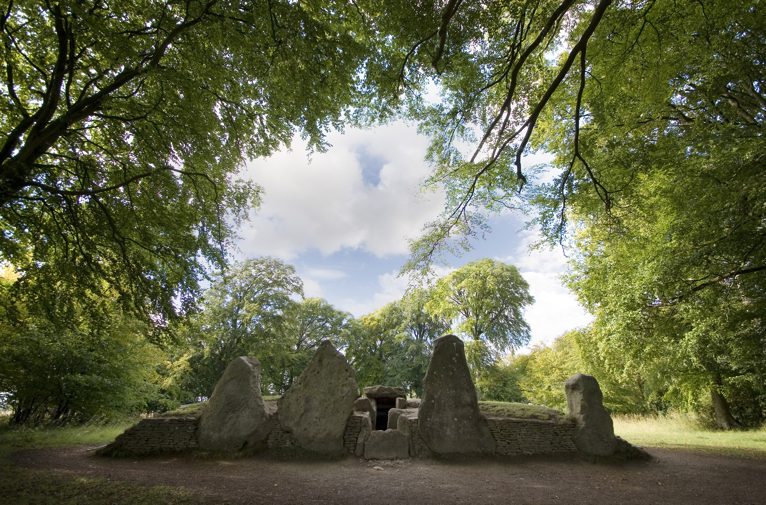
Wayland's Smithy

Wayland's Smithy is an Early Neolithic chambered long barrow located near the village of Ashbury in the south-central English county of Oxfordshire. The...

Ashbury, Oxfordshire

Ashbury is a village and large civil parish at the upper end (west) of the Vale of White Horse. It was part of Berkshire until the 1974 boundary changes...

Nearby Amenities

Located within 500m of 51.536,-1.595
Barrier: stile
Source: GPS
Lat/Long: 51.5383509/-1.5999864
Barrier: stile
Source: GPS
Lat/Long: 51.5347692/-1.5897547
Barrier: stile
Bicycle: no
Foot: yes
Horse: no
Motor Vehicle: no
Lat/Long: 51.5388815/-1.5913465
Source: survey
Tourism: information
Lat/Long: 51.5389399/-1.5923008
Source: survey
Tourism: information
Lat/Long: 51.5389678/-1.5921128
Barrier: stile
Dog Gate: yes
Foot: yes
Lat/Long: 51.5391379/-1.5989986
Post Box
Collection Times: Mo-Fr 16:30; Sa 08:15
Post Box Type: wall
Ref: RG17 220
Royal Cypher: GR
Royal Cypher Wikidata: Q33102273
Lat/Long: 51.5332417/-1.5941183
Barrier: kissing_gate
Foot: yes
Lat/Long: 51.5377236/-1.6002285
Bus Stop
Ashdown House
Bus: yes
Public Transport: platform
Lat/Long: 51.5391525/-1.590979
Bus Stop
Ashdown House
Bus: yes
Public Transport: platform
Lat/Long: 51.5391259/-1.5908393
The data included in this document is from www.openstreetmap.org. The data is made available under ODbL.

Have you been to Ashdown House?

Leave your review of Ashdown House below (or comments, questions and feedback).