Arthur's Stone

Heritage Site in Herefordshire

England

Arthur's Stone

Arthur's Stone. Sandstone Dolmen above the Golden Valley.
Arthur's Stone. Credit: Richard Webb

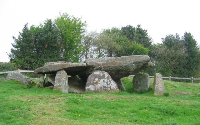
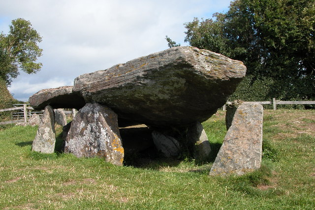
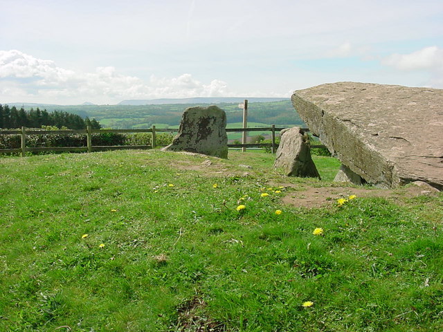
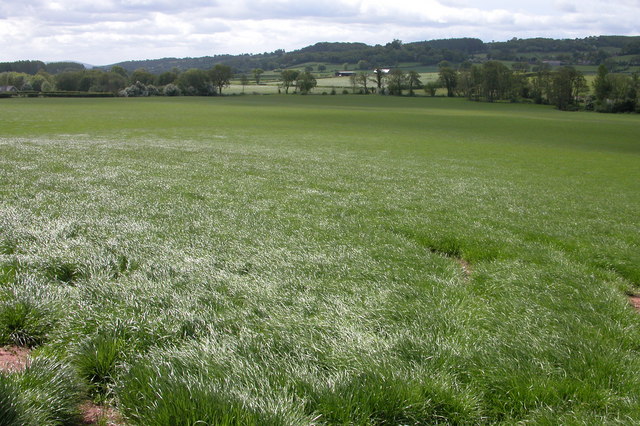
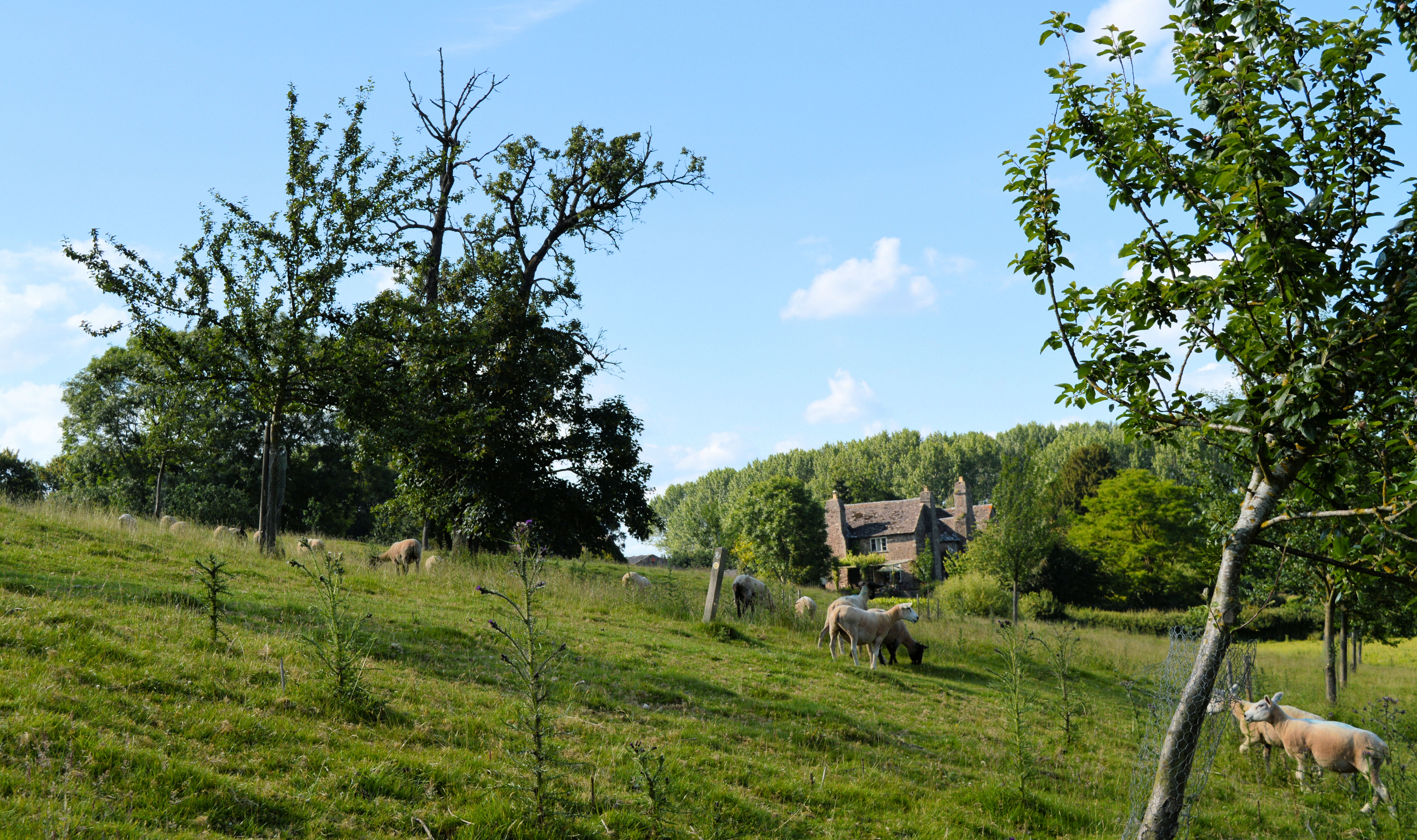
Arthur's Stone is a prehistoric burial chamber located in Herefordshire, England. This ancient monument is classified as a Heritage Site due to its archaeological and historical significance. It is situated on the summit of a hill in the Golden Valley, near the village of Dorstone.

Dating back to the Neolithic period, Arthur's Stone is a chambered long barrow, believed to have been constructed around 3,700 to 3,000 BCE. The monument consists of a large stone burial chamber, which is covered by a mound of earth and stones. The chamber is composed of six massive stones, three on each side, supporting a huge capstone weighing approximately 25 tons. The structure measures around 24 meters in length and is aligned in an east-west direction.

Legend has it that the monument is associated with the mythical King Arthur, hence the name "Arthur's Stone." However, there is no concrete evidence to support this claim. The origin and purpose of the monument remain a subject of debate among archaeologists and historians.

Today, Arthur's Stone is a popular tourist attraction and a site of interest for those intrigued by ancient history. Visitors can explore the area and marvel at the impressive architectural feat achieved by its Neolithic builders. The monument offers panoramic views of the surrounding countryside, adding to its allure.

Preserved and protected by English Heritage, Arthur's Stone serves as a tangible reminder of the rich heritage and cultural history of Herefordshire.

If you have any feedback on the listing, please let us know in the comments section below.

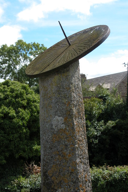
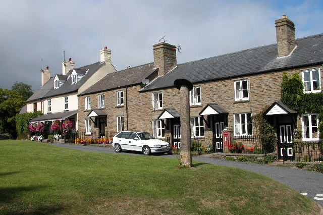
Arthur's Stone Images

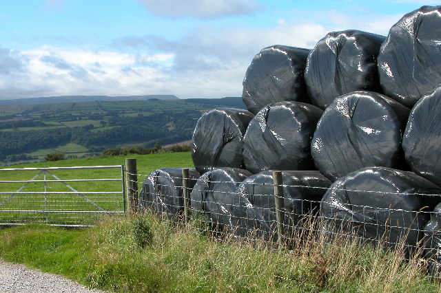
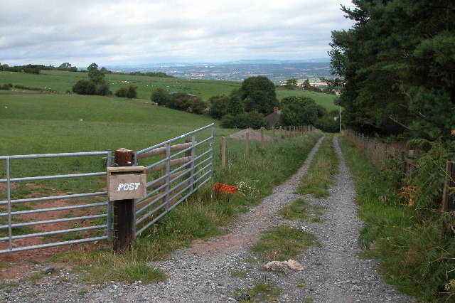
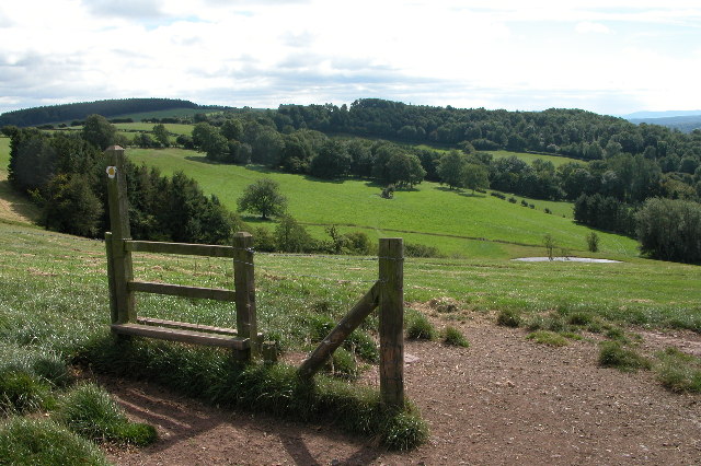
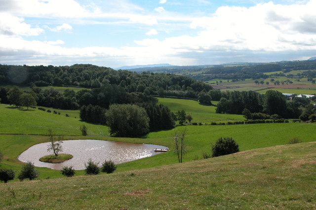
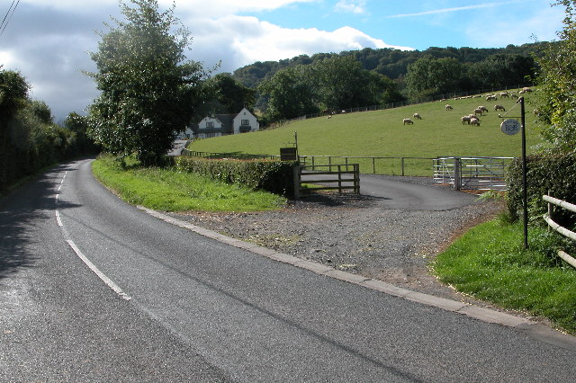
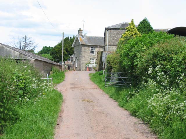
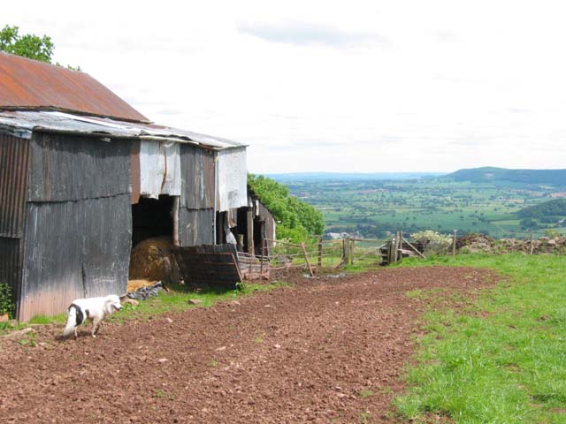
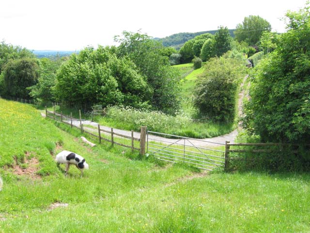
Images are sourced within 2km of 52.0822/-2.9954 or Grid Reference SO3142. Thanks to Geograph Open Source API. All images are credited.

Arthur's Stone. Sandstone Dolmen above the Golden Valley.
Arthur's Stone.
Sandstone Dolmen above the Golden Valley.
The Red Lion, Bredwardine The Red Lion stands on a road junction in Bredwardine.
The Red Lion, Bredwardine
The Red Lion stands on a road junction in Bredwardine.
Arthur's Stone The remains of a Neolithic chambered tomb. It is named after King Arthur but it pre-dates this legendary king by thousands of years.  It is thought to date from between 3,700BC and 2,700BC.  It is situated almost 1000ft up on top of a hill between Bredwardine and Dorstone.
Arthur's Stone
The remains of a Neolithic chambered tomb. It is named after King Arthur but it pre-dates this legendary king by thousands of years. It is thought to date from between 3,700BC and 2,700BC. It is situated almost 1000ft up on top of a hill between Bredwardine and Dorstone.
Dorstone Castle This impressive motte and bailey is thought to date from 11th to 12th centuries.
Dorstone Castle
This impressive motte and bailey is thought to date from 11th to 12th centuries.
Hay Bluff and Black Mountains Silage stacked in the corner of a field on the side of Arthur's Stone Lane near Upper Barn above the village of Dorstone in the Golden Valley.  On the horizon is Hay Bluff and the Black Mountains.
Hay Bluff and Black Mountains
Silage stacked in the corner of a field on the side of Arthur's Stone Lane near Upper Barn above the village of Dorstone in the Golden Valley. On the horizon is Hay Bluff and the Black Mountains.
New farm track to Upper Bodcott Farm Farm track to Upper Bodcott Farm, beyond is the countryside of north Herefordshire, and on the horizon Cleehill in Shropshire.
New farm track to Upper Bodcott Farm
Farm track to Upper Bodcott Farm, beyond is the countryside of north Herefordshire, and on the horizon Cleehill in Shropshire.
Dorstone Hill Dorstone Hill viewed from the footpath descending from Arthur's Stone to the village of Dorstone
Dorstone Hill
Dorstone Hill viewed from the footpath descending from Arthur's Stone to the village of Dorstone
The Golden Valley View south down the Golden Valley from the footpath which descends from Arthur's Stone to the village of Dorstone
The Golden Valley
View south down the Golden Valley from the footpath which descends from Arthur's Stone to the village of Dorstone
Sundial in the village of Dorstone Sundial on a small village green in Dorstone.
Sundial in the village of Dorstone
Sundial on a small village green in Dorstone.
Dorstone The green in the centre of Dorstone, the disk on top of the pillar is a sundial
Dorstone
The green in the centre of Dorstone, the disk on top of the pillar is a sundial
Solar powered transmitter on Merbach Hill Radio mast on Merbach Hill with a solar panel to power it. Does anyone know who put this mast up and what it is for?
Solar powered transmitter on Merbach Hill
Radio mast on Merbach Hill with a solar panel to power it. Does anyone know who put this mast up and what it is for?
Merbach Hill Sheep grazing on Merbach Hill.  This is a view to the east, in the distance is the line of the Malvern Hills, the boundary between Herefordshire and Worcestershire.
Merbach Hill
Sheep grazing on Merbach Hill. This is a view to the east, in the distance is the line of the Malvern Hills, the boundary between Herefordshire and Worcestershire.
Bodcott Lodge B&B guest house about half a mile south of Bredwardine on the B4352.
Bodcott Lodge
B&B guest house about half a mile south of Bredwardine on the B4352.
Llan Farm
Llan Farm
On Bredwardine Hill
On Bredwardine Hill
Gateway and country lane near Bredwardine
Arthur's Stone A sandstone dolmen on Dorstone Hill looking towards Cussop.
Arthur's Stone
A sandstone dolmen on Dorstone Hill looking towards Cussop.
The Golden Valley, Dorstone The Golden Valley is so named after the River Dore which flows through it. These fields are located to the south-east of Dorstone.
The Golden Valley, Dorstone
The Golden Valley is so named after the River Dore which flows through it. These fields are located to the south-east of Dorstone.
Show me another place!

Arthur's Stone is located at Grid Ref: SO3142 (Lat: 52.0822, Lng: -2.9954)

What 3 Words

///shape.album.satin. Near Dorstone, Herefordshire

Nearby Locations

Arthur's Stone

Related Wikis

Arthur's Stone, Herefordshire

Arthur's Stone is a Neolithic chambered tomb, or dolmen, in Herefordshire, England. It is situated on the ridge line of a hill overlooking both the Golden...

Dorstone railway station

Dorstone railway station was a station in Dorstone, Herefordshire, England. The station was opened in 1881, closed to passengers in 1941 and closed completely...

Dorstone

Dorstone is a village within the Golden Valley, Herefordshire, England. There is a church and public house with restaurant. The Golden Valley area offers...

Dorstone Castle

Dorstone Castle was in the village of Dorstone in Herefordshire, England, located 6 miles to the east of Hay-on-Wye. == Motte and bailey == This was a...

Bredwardine

Bredwardine is a village and civil parish in the west of Herefordshire, England. Significant parish landmarks include a brick bridge over the River Wye...

Bredwardine Castle

Bredwardine Castle was sited in the village of Bredwardine in Herefordshire, England beside the River Wye. Thought to have been built in the second half...

Snodhill Castle

Snodhill Castle is a ruined motte-and-bailey castle, about 1 mi (1.6 km) south of the village of Dorstone in west Herefordshire, England. It is recognized...

Brobury

Brobury is a village and former civil parish, now in the parish of Brobury with Monnington on Wye, in western Herefordshire, England, located between Hereford...

Nearby Amenities

Located within 500m of 52.0822,-2.9954
Arthurs Stone
Historic: archaeological_site
Wikidata: Q4797722
Lat/Long: 52.0822861/-2.995354
Parking
Capacity: 4
Fee: no
Parking: surface
Source: survey
Lat/Long: 52.0822645/-2.9950833
Information: board
Tourism: information
Lat/Long: 52.0823255/-2.9954763
Grit Bin
Source: survey
Lat/Long: 52.0822472/-2.9950055
Barrier: stile
Source: survey
Lat/Long: 52.0795678/-2.9958934
Barrier: stile
Source: survey
Lat/Long: 52.0780521/-2.9956359
The data included in this document is from www.openstreetmap.org. The data is made available under ODbL.

Have you been to Arthur's Stone ?

Leave your review of Arthur's Stone below (or comments, questions and feedback).