Arthur's Stone

Heritage Site in Glamorgan

Wales

Arthur's Stone

Cilibion: Broad Pool Looking north east. The pool is a nature reserve. It was donated to the Wildlife Trust of South & West Wales by the Duke of Beaufort in 1962 and was the trust’s first such reserve
Cilibion: Broad Pool Credit: Martin Bodman

Arthur's Stone is a prehistoric monument located in the Gower Peninsula of Glamorgan, Wales. It is considered one of the most iconic and well-preserved Neolithic burial sites in the country. Also known as Maen Ceti in Welsh, the monument is believed to date back to around 2500 BC, during the late Stone Age.

The site consists of a large, upright stone weighing around 25 tons, supported by three smaller stones which form a chamber beneath it. The capstone measures approximately 4 meters in length and 2.5 meters in width, creating a distinctive and imposing appearance. The chamber itself is thought to have been used for communal burials and rituals, although the exact purpose of the monument remains uncertain.

Arthur's Stone is surrounded by a circular bank and ditch, suggesting that it was once part of a larger ceremonial complex. The monument's position on Cefn Bryn, the highest point of the Gower Peninsula, offers panoramic views of the surrounding landscape, adding to its significance and potential ceremonial importance.

Over the years, Arthur's Stone has captured the imagination of locals and visitors alike, with various legends and folklore attributing its creation to the mythical figure of King Arthur. However, archaeological evidence suggests that it predates the Arthurian era by several millennia.

Today, Arthur's Stone is a popular heritage site and attracts a steady stream of tourists who come to admire its impressive structure and learn about the ancient history it represents. The monument is protected by law and managed by the local authorities to ensure its preservation for future generations.

If you have any feedback on the listing, please let us know in the comments section below.

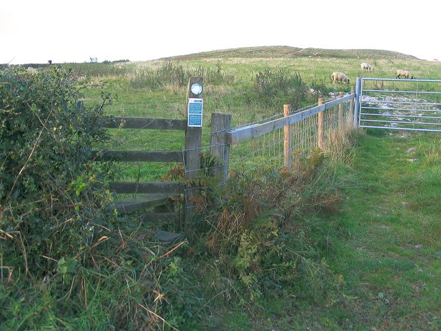
Arthur's Stone Images

Images are sourced within 2km of 51.592/-4.173 or Grid Reference SS4990. Thanks to Geograph Open Source API. All images are credited.

Cilibion: Broad Pool Looking north east. The pool is a nature reserve. It was donated to the Wildlife Trust of South & West Wales by the Duke of Beaufort in 1962 and was the trust’s first such reserve
Cilibion: Broad Pool
Looking north east. The pool is a nature reserve. It was donated to the Wildlife Trust of South & West Wales by the Duke of Beaufort in 1962 and was the trust’s first such reserve
Cilibion: Broad Pool Looking north west. The pool is a nature reserve and covers 4.2 acres or 1.71 hectares. It was known to exist in 1645 and today is a familiar feature of  central Gower.
Cilibion: Broad Pool
Looking north west. The pool is a nature reserve and covers 4.2 acres or 1.71 hectares. It was known to exist in 1645 and today is a familiar feature of central Gower.
Llanrhidian Lower Community: towards Little Bryngwyn Looking south east from a point near Broad Pool. The Cefn Bryn ridge is on the skyline. Lapwing and Snipe nest on the moor in the summer; the Short-eared Owl, Hen Harrier and Merlin have been noted here in winter
Llanrhidian Lower Community: towards Little Bryngwyn
Looking south east from a point near Broad Pool. The Cefn Bryn ridge is on the skyline. Lapwing and Snipe nest on the moor in the summer; the Short-eared Owl, Hen Harrier and Merlin have been noted here in winter
Permissive path onto Cilifor Top Not marked on the OS maps, there is a permissive path allowing a short walk north to the hill from the road that passes south of it.
Permissive path onto Cilifor Top
Not marked on the OS maps, there is a permissive path allowing a short walk north to the hill from the road that passes south of it.
Broad Pool The edge of Cefn Bryn is on the left with Llanmadoc Hill in the background.
Broad Pool
The edge of Cefn Bryn is on the left with Llanmadoc Hill in the background.
Cyclists on Cefn Bryn, Gower The footpath along the ridge is popular with walkers, mountain bikers and scrambler motorbikes. Here a couple enjoy their ride and the views off both sides.
Cyclists on Cefn Bryn, Gower
The footpath along the ridge is popular with walkers, mountain bikers and scrambler motorbikes. Here a couple enjoy their ride and the views off both sides.
Falconry display at Perriswood Farm
Cefn Bryn Cefnffordd mwdlyd wedi'r holl law yn ddiweddar ar ben Cefn Bryn.

The muddy Cefn Bryn ridgeway after all the recent rain.
Cefn Bryn
Cefnffordd mwdlyd wedi'r holl law yn ddiweddar ar ben Cefn Bryn. The muddy Cefn Bryn ridgeway after all the recent rain.
Ordnance Survey Cut Mark This OS cut mark can be found on the culvert SE side of the road. It marks a point 77.151m above mean sea level.
Ordnance Survey Cut Mark
This OS cut mark can be found on the culvert SE side of the road. It marks a point 77.151m above mean sea level.
Cairn on Cefn Bryn Badly damaged ring cairn south of track. 13.4m in diameter and 0.3m high.
Cairn on Cefn Bryn
Badly damaged ring cairn south of track. 13.4m in diameter and 0.3m high.
Broad pool from the road
Penrice Castle, Gower, Sth. Wales This picture shows the remains of the norman castle, on the right, and the 18th century house on the left, which was built by the land owner at the time, Thomas Mansel Talbot.
Penrice Castle, Gower, Sth. Wales
This picture shows the remains of the norman castle, on the right, and the 18th century house on the left, which was built by the land owner at the time, Thomas Mansel Talbot.
Near Reynoldston: at Holywell Looking north-north-east towards the Loughor estuary. The hill in the centre is Cilifor Top, just east of Llanrhidian. The 4x4 is on the Cilibion-Reynoldstown road
Near Reynoldston: at Holywell
Looking north-north-east towards the Loughor estuary. The hill in the centre is Cilifor Top, just east of Llanrhidian. The 4x4 is on the Cilibion-Reynoldstown road
Reynoldston: Post Office Looking south east
Reynoldston: Post Office
Looking south east
Reynoldston: the Methodist church Looking south west
Reynoldston: the Methodist church
Looking south west
Reynoldston: King Arthur Hotel Looking south
Reynoldston: King Arthur Hotel
Looking south
Show me another place!

Arthur's Stone is located at Grid Ref: SS4990 (Lat: 51.592, Lng: -4.173)

What 3 Words

///reception.tech.promises. Near Crofty, Swansea

Nearby Locations

Arthur's Stone

Related Wikis

Reynoldston

Reynoldston is a rural village and a community in the City and County of Swansea, Wales, which had a population of 439 in 2011. The community has its own...

Gower (electoral ward)

Gower (Welsh: Gŵyr) electoral ward is an electoral ward in Britain. It is a ward of the City and County of Swansea, and comprises the western part of the...

Llanrhidian Lower

Llanrhidian Lower is a community in the Gower peninsula forming the west of Swansea, south Wales. The community has its own elected community council...
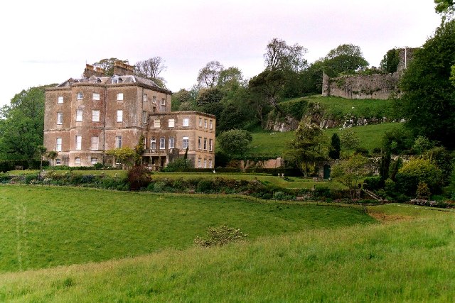
Penrice Castle

Penrice Castle (Welsh: Castell Pen-rhys) is a 13th-century castle near Penrice, Swansea on the Gower Peninsula, Wales. Nearby is a neo-classical mansion...

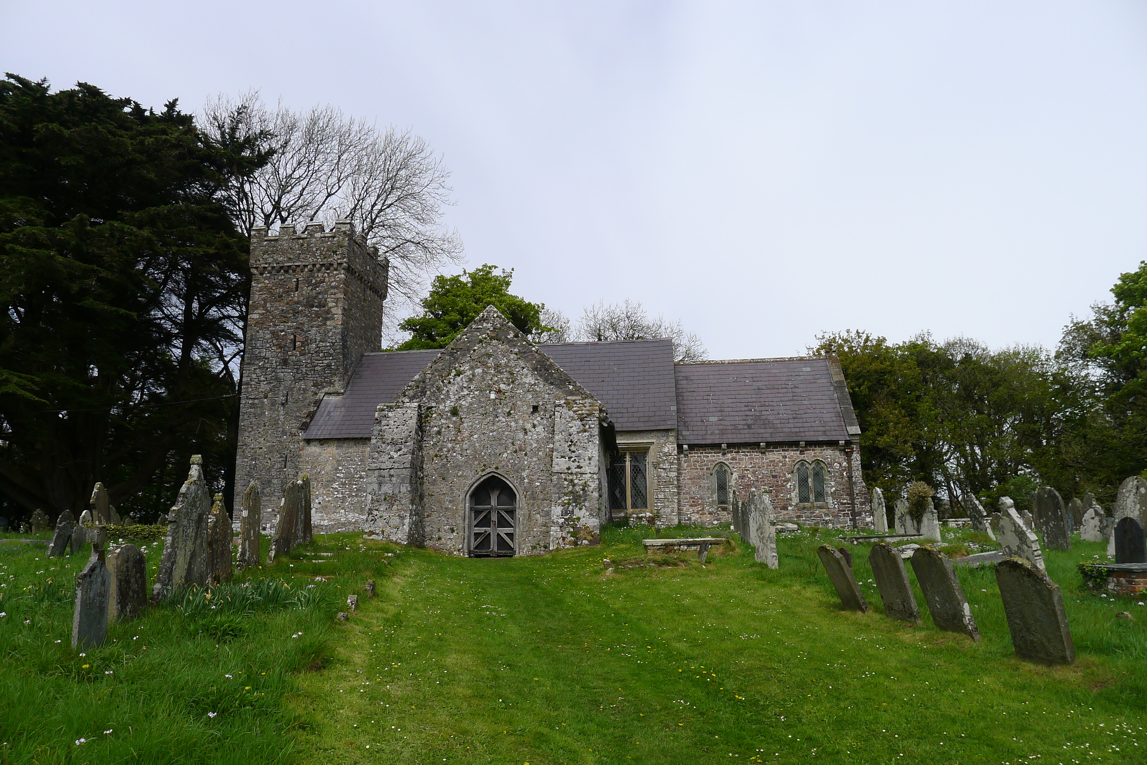
St Andrew's Church, Penrice

The Church of St Andrew, Penrice, Swansea, Wales dates from the 12th century. A Grade II* listed building, St Andrew's remains an active parish church...

Cefn Bryn

Cefn Bryn is an ancient ridge in Britain. It is a 5-mile-long Old Red Sandstone ridge in south Wales, in the heart of the Gower Peninsula, in the City...

Penrice (community)

Penrice is a village and community in Swansea county, Wales on the Gower peninsula. It had a population of 451 as of the 2011 UK census and includes the...

Weobley Castle, Gower

Weobley Castle (pronounced "weblee "; Welsh: Castell Weble) is a 14th-century fortified manor house on the Gower Peninsula, Wales, in the care of Cadw...

Nearby Amenities

Located within 500m of 51.592,-4.173
Arthur's Stone
Alt Name: Maen Ceti
Historic: archaeological_site
Name Cy: Maen Ceti
Wikidata: Q122217147
Lat/Long: 51.5935199/-4.1793616
The data included in this document is from www.openstreetmap.org. The data is made available under ODbL.

Have you been to Arthur's Stone ?

Leave your review of Arthur's Stone below (or comments, questions and feedback).