Ann's Cross on Tumulus
Heritage Site in Yorkshire
England
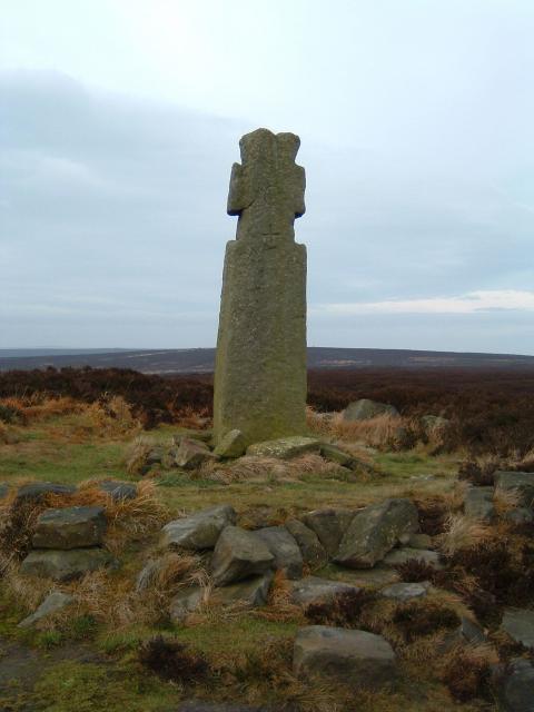
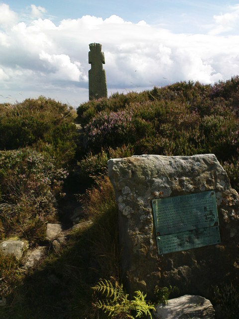
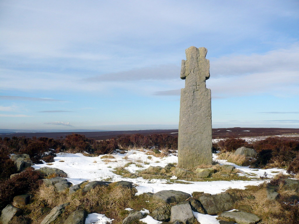
Ann's Cross on Tumulus
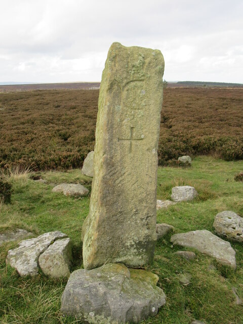
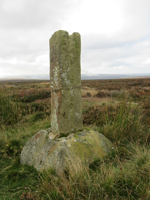
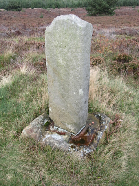
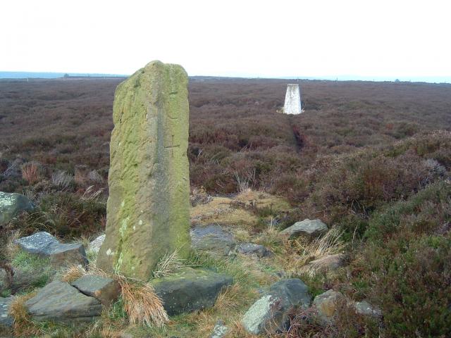
Ann's Cross on Tumulus, Yorkshire, is a significant heritage site located in the Yorkshire Dales National Park, England. It is a well-preserved medieval stone cross situated on top of a tumulus or burial mound. The cross, believed to have been constructed in the 14th century, stands at a height of approximately 4 meters.
The cross is made of local limestone and features intricate carvings and detailed craftsmanship. It consists of a slender shaft with a decorative cross-head at the top. The carvings on the cross depict religious scenes and symbols, including figures of saints and biblical motifs, showcasing the craftsmanship and artistic skills prevalent during the medieval period.
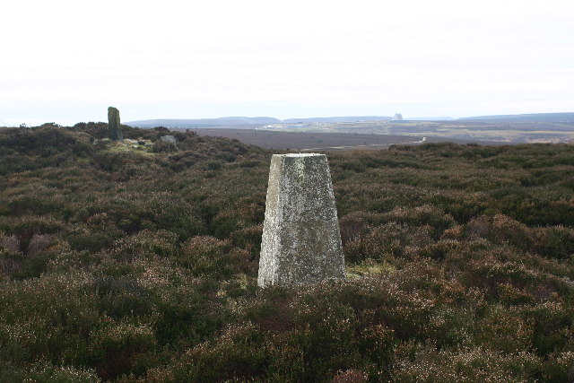
Ann's Cross holds historical and cultural significance as it marks the location of an ancient burial site. The tumulus, upon which the cross stands, is thought to date back to the Iron Age or Roman period, making it over 2000 years old. The presence of the cross on this ancient burial mound signifies the fusion of different historical periods and the importance of this location throughout history.
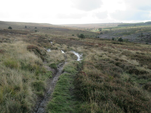
The site is frequented by tourists, history enthusiasts, and those interested in archaeology. It offers visitors a unique opportunity to witness the intersection of different historical eras and appreciate the intricate craftsmanship of medieval stone carving. The surrounding landscape provides a picturesque backdrop, allowing visitors to experience the natural beauty of the Yorkshire Dales while exploring this fascinating heritage site.
If you have any feedback on the listing, please let us know in the comments section below.
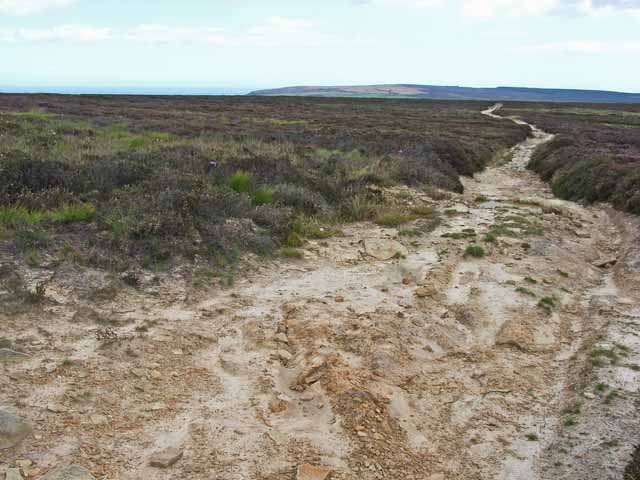
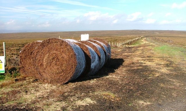
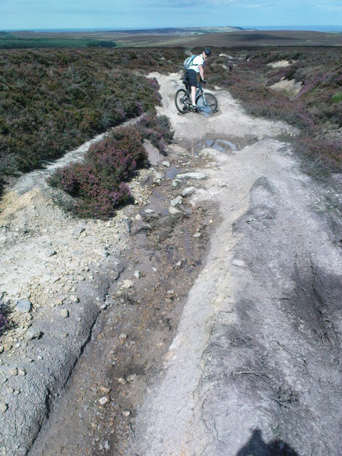
Ann's Cross on Tumulus Images
Images are sourced within 2km of 54.392/-0.637 or Grid Reference NZ8800. Thanks to Geograph Open Source API. All images are credited.

Ann's Cross on Tumulus is located at Grid Ref: NZ8800 (Lat: 54.392, Lng: -0.637)
Division: North Riding
What 3 Words
///commutes.vital.deprive. Near Sleights, North Yorkshire
Nearby Locations
Related Wikis
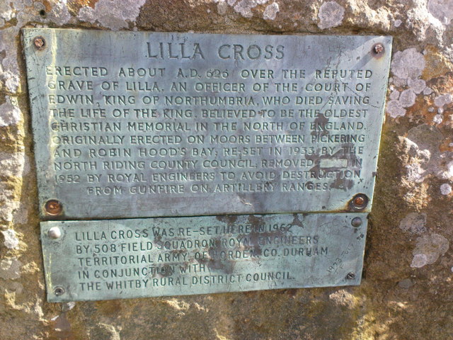
Lilla Cross
Lilla Cross is a marker on Lilla's Howe, Fylingdales Moor, in North Yorkshire, England. A story relates how King Edwin of Northumbria placed the cross...
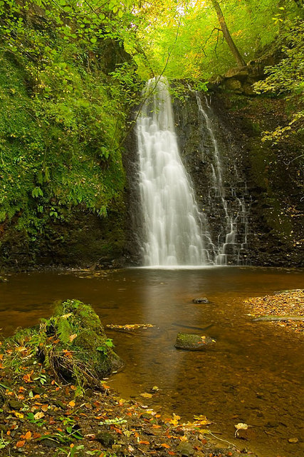
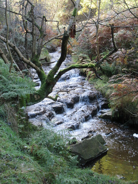
Falling Foss
Falling Foss is a waterfall that lies in the north-east section of The North York Moors National Park and is a popular spot for walking. It is 5 miles...
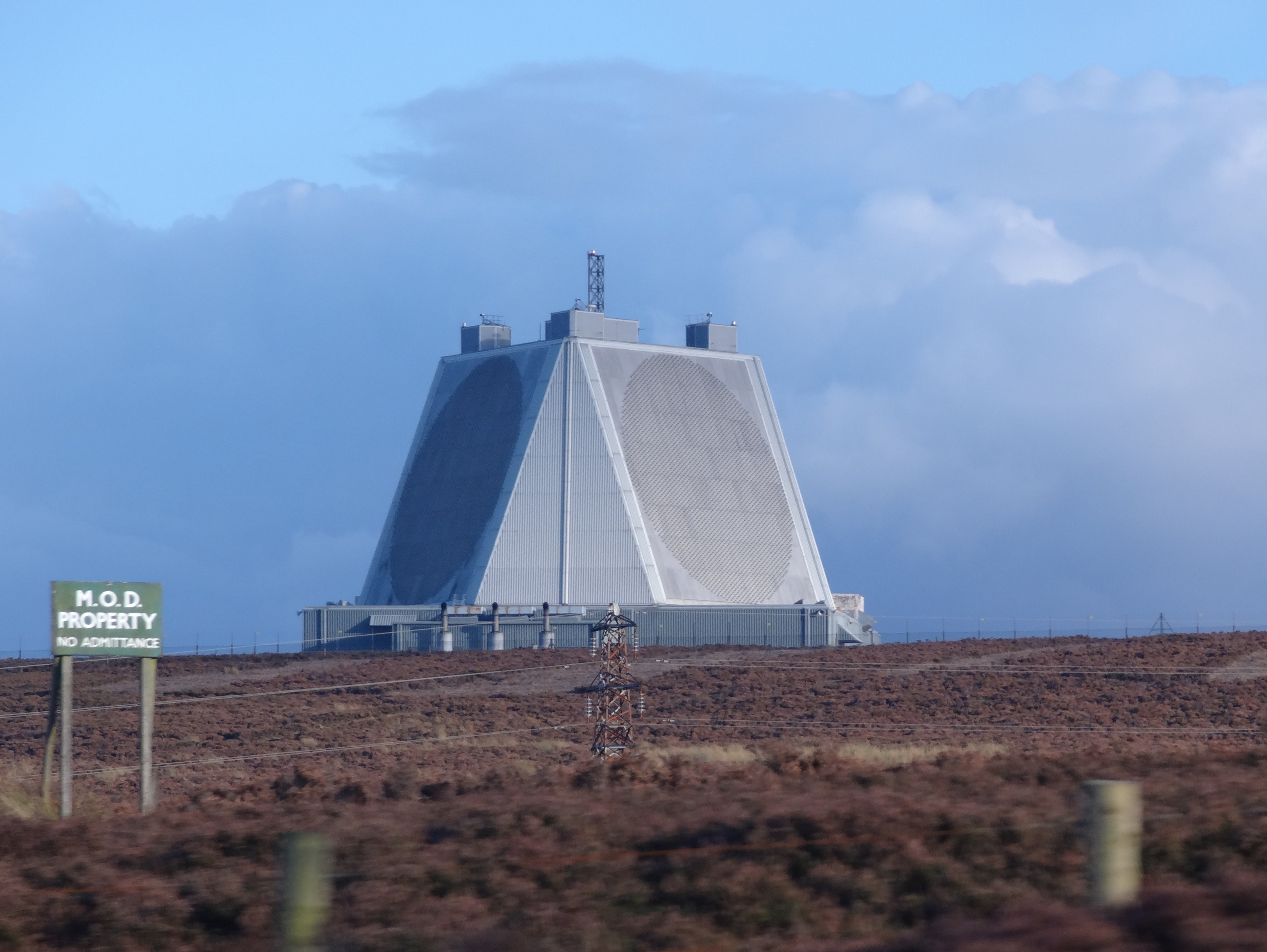
RAF Fylingdales
Royal Air Force Fylingdales or more simply RAF Fylingdales is a Royal Air Force station on Snod Hill in the North York Moors, England. Its motto is "Vigilamus...

Woodsmith Mine
Woodsmith Mine is a deep potash and polyhalite mine located near to the hamlet of Sneatonthorpe, Whitby in North Yorkshire, England. The venture was started...

Littlebeck, North Yorkshire
Littlebeck is a hamlet in the North York Moors National Park, near Whitby, in North Yorkshire, England. It stands on the Little Beck, a minor tributary...

Goathland railway station
Goathland railway station is a station on the North Yorkshire Moors Railway and serves the village of Goathland in the North York Moors National Park,...
Eskdaleside cum Ugglebarnby
Eskdaleside cum Ugglebarnby is a civil parish in the Scarborough district of North Yorkshire, England, comprising the two villages of Sleights and Ugglebarnby...

Goathland Bank Top railway station
Goathland Bank Top was a short lived, early, railway station in Goathland, North Yorkshire, England. The station at the top of the Beckhole Incline (sometimes...
Nearby Amenities
Located within 500m of 54.392,-0.637Have you been to Ann's Cross on Tumulus?
Leave your review of Ann's Cross on Tumulus below (or comments, questions and feedback).