Anstey Barrow

Heritage Site in Devon North Devon

England

Anstey Barrow

Castle Bridge, Dulverton, Somerset Looking north over Castle Bridge.  Just to the right of this, Danes's Brook, which flows under the bridge, joins the river Barle. Presumably the  bridge gets its name from Brewer's Castle, the site of which is out-of-shot up the hill from the top left of this image.
Castle Bridge, Dulverton, Somerset Credit: Andy Gilbert

Anstey Barrow, located in Devon, England, is a significant heritage site that holds historical and archaeological importance. This ancient burial mound, also known as a barrow, is situated on a hill overlooking the picturesque village of Anstey. The barrow itself stands at an impressive height of approximately 10 meters, making it a prominent feature in the landscape.

Believed to date back to the Bronze Age, Anstey Barrow is thought to have been constructed around 4,000 years ago. The site has undergone extensive archaeological investigations, revealing a wealth of artifacts and human remains. Excavations have uncovered pottery fragments, flint tools, and even items of jewelry, providing valuable insights into the lives and burial practices of the ancient inhabitants.

The barrow is surrounded by a well-preserved circular ditch, indicating the level of sophistication and planning involved in its construction. The meticulous craftsmanship and engineering skills of the early Bronze Age people are evident in the careful construction of this burial mound.

Anstey Barrow is not only a testament to the rich history of the area but also serves as a reminder of the spiritual and cultural beliefs of the people who once inhabited this land. It offers visitors a glimpse into the past and provides a unique opportunity for archaeological enthusiasts and history buffs to explore and learn about the ancient civilizations that thrived in this region.

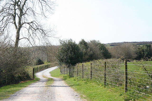
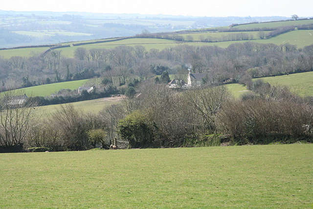
The site is easily accessible, with a footpath leading up to the barrow and offering breathtaking views of the surrounding countryside. Anstey Barrow is a must-visit destination for anyone interested in uncovering the mysteries of the past and appreciating the cultural heritage of Devon.

If you have any feedback on the listing, please let us know in the comments section below.

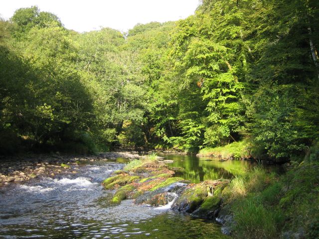
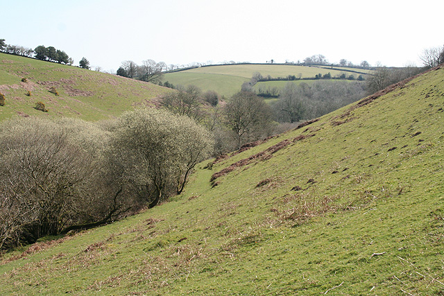
Anstey Barrow Images

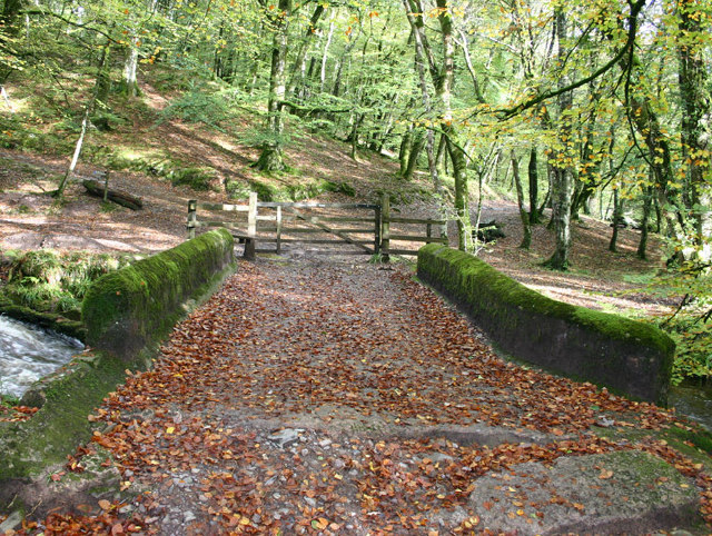
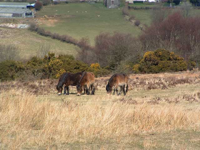
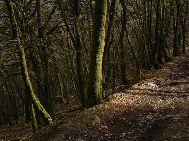
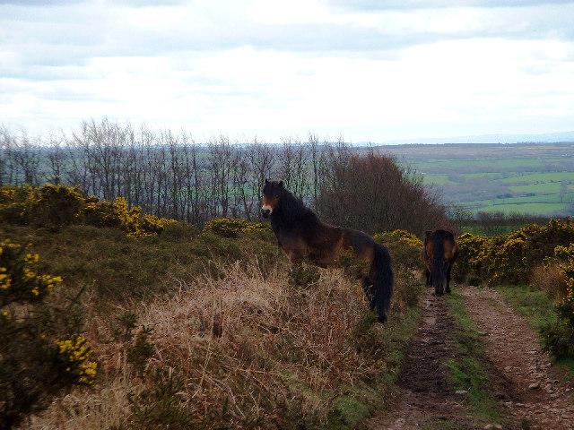
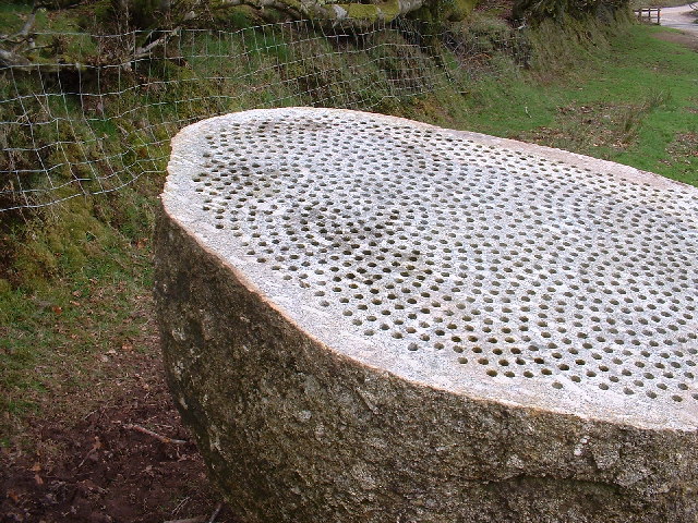
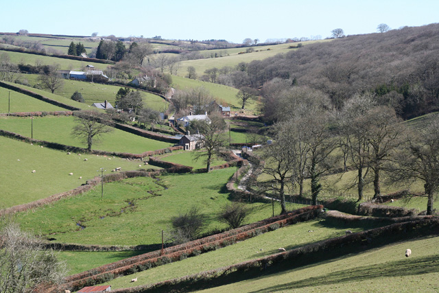
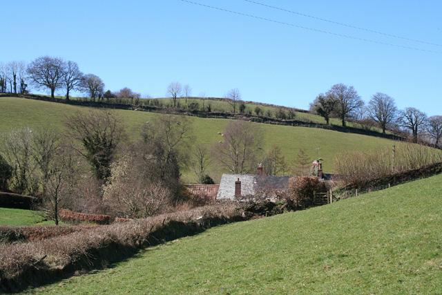
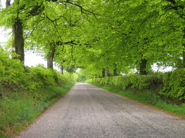
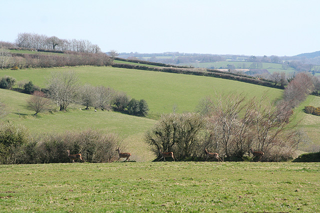
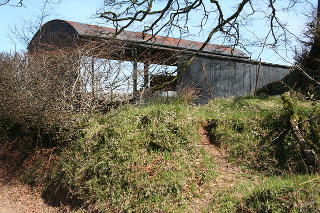
Images are sourced within 2km of 51.045/-3.605 or Grid Reference SS8728. Thanks to Geograph Open Source API. All images are credited.

Castle Bridge, Dulverton, Somerset Looking north over Castle Bridge.  Just to the right of this, Danes's Brook, which flows under the bridge, joins the river Barle. Presumably the  bridge gets its name from Brewer's Castle, the site of which is out-of-shot up the hill from the top left of this image.
Castle Bridge, Dulverton, Somerset
Looking north over Castle Bridge. Just to the right of this, Danes's Brook, which flows under the bridge, joins the river Barle. Presumably the bridge gets its name from Brewer's Castle, the site of which is out-of-shot up the hill from the top left of this image.
Exmoor Ponies on Anstey Money Common
Exe Valley Way: near Great Gate On the Exe Valley Way between Hawkridge and Brewer Castle.
Exe Valley Way: near Great Gate
On the Exe Valley Way between Hawkridge and Brewer Castle.
Exmoor ponies on Woodland Common Near Badlake Moor Cross
Exmoor ponies on Woodland Common
Near Badlake Moor Cross
IIMW sculpture by Peter Randall Page See also Granite Song in <a href="https://www.geograph.org.uk/gridref/SX7189">SX7189</a>
IIMW sculpture by Peter Randall Page
See also Granite Song in SX7189
East Anstey: Waddicombe Looking north east from the start of a bridleway to Badlake Farm. There is some evidence for a medieval watermill at Waddicombe
East Anstey: Waddicombe
Looking north east from the start of a bridleway to Badlake Farm. There is some evidence for a medieval watermill at Waddicombe
East Anstey: approaching Oak Farm Looking west-south-west on a bridleway from Waddicombe to Dunsley
East Anstey: approaching Oak Farm
Looking west-south-west on a bridleway from Waddicombe to Dunsley
Spring Beeches Beech trees lining the road on Twitchen Common.
Spring Beeches
Beech trees lining the road on Twitchen Common.
River Barle Looking upstream, water level very low after the dry summer.
River Barle
Looking upstream, water level very low after the dry summer.
Dulverton: footbridge over stream On the public footpath between Dulverton and Waddicombe, looking east
Dulverton: footbridge over stream
On the public footpath between Dulverton and Waddicombe, looking east
Dulverton: below Chilcott Looking east in the direction of Lower Chilcott Wood, in a hidden valley, with pussy willow by a stream
Dulverton: below Chilcott
Looking east in the direction of Lower Chilcott Wood, in a hidden valley, with pussy willow by a stream
Dulverton: by Lower Chilcott A cat enjoying Easter sunshine
Dulverton: by Lower Chilcott
A cat enjoying Easter sunshine
Dulverton: Higher Chilcott Farm Home of Pine Lodge Riding Holidays. Looking north east. See <span class="nowrap"><a title="http://www.pinelodge.countryside-inter.net/introductionframe.htm" rel="nofollow ugc noopener" href="http://www.pinelodge.countryside-inter.net/introductionframe.htm">Link</a><img style="margin-left:2px;" alt="External link" title="External link - shift click to open in new window" src="https://s1.geograph.org.uk/img/external.png" width="10" height="10"/></span>
Dulverton: Higher Chilcott Farm
Home of Pine Lodge Riding Holidays. Looking north east. See LinkExternal link
Dulverton: track to Cawkett Looking south west
Dulverton: track to Cawkett
Looking south west
Dulverton: five hinds Near Chilcott Cross, looking east
Dulverton: five hinds
Near Chilcott Cross, looking east
Dulverton: by Chilcott Cross Looking north east towards a barn
Dulverton: by Chilcott Cross
Looking north east towards a barn
Dulverton: towards Higher Chilcott Looking south west. Higher Chilcott - beyond the square - has smoke rising from a chimney and Lower Chilcott is to the left of this farm
Dulverton: towards Higher Chilcott
Looking south west. Higher Chilcott - beyond the square - has smoke rising from a chimney and Lower Chilcott is to the left of this farm
East Anstey: Five Cross Ways Looking west-south-west. The road ahead leads to West Anstey Common and Molland. The left turn runs to West Anstey and Yeo Mill. Right for Hawkridge and Tarr Steps. Behind the camera are roads from Oldways End and Dulverton. This is also the border between Somerset and Devon and the boundary of the Exmoor National Park - the park sign is by the signpost
East Anstey: Five Cross Ways
Looking west-south-west. The road ahead leads to West Anstey Common and Molland. The left turn runs to West Anstey and Yeo Mill. Right for Hawkridge and Tarr Steps. Behind the camera are roads from Oldways End and Dulverton. This is also the border between Somerset and Devon and the boundary of the Exmoor National Park - the park sign is by the signpost
Show me another place!

Anstey Barrow is located at Grid Ref: SS8728 (Lat: 51.045, Lng: -3.605)

Administrative County: Devon

District: North Devon

Police Authority: Devon and Cornwall

What 3 Words

///trainers.juicy.crawler. Near Dulverton, Somerset

Related Wikis

Mounsey Castle

Mounsey Castle is an Iron Age irregular triangular earthwork of 1.75 hectares (4.3 acres) north west of Dulverton, Somerset, England. It has been scheduled...

Brewer's Castle

Brewer's Castle is a defended Iron Age settlement in the West Somerset district of Somerset, England. The hill fort is situated approximately 2 miles...

Ashwick House, Dulverton

not to be confused with the 17th century Ashwick Court in eastern Somerset.Ashwick House is an Edwardian mansion in Ashwick, four miles northwest of Dulverton...

Church of St Giles, Hawkridge

The Anglican Church of St Giles in Hawkridge, Somerset, England was built in the 14th century. It is a Grade II* listed building. == History == The oldest...

Nearby Amenities

Located within 500m of 51.045,-3.605
Five Cross Ways
Junction: yes
Lat/Long: 51.0450921/-3.5998965
The data included in this document is from www.openstreetmap.org. The data is made available under ODbL.

Have you been to Anstey Barrow?

Leave your review of Anstey Barrow below (or comments, questions and feedback).