Abraham's Hut
Heritage Site in Yorkshire Ryedale
England
Abraham's Hut
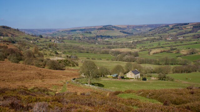
Abraham's Hut is a historic heritage site located in Yorkshire, England. Situated on the outskirts of the picturesque village of Thornton-le-Dale, the hut holds great significance as it is believed to be the birthplace of the renowned British engineer and inventor, Sir Henry Abraham.
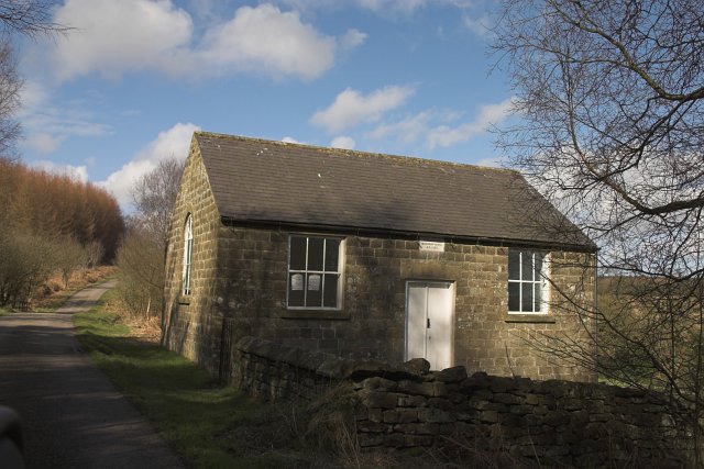
The hut itself is a small, rustic structure made of local stone and timber. It is a single-roomed dwelling, with a thatched roof that has been lovingly restored to its original condition. The interior of the hut showcases a simple yet charming living space, complete with a fireplace, a bed, and a few basic household items that would have been typical of the era.
Visitors to Abraham's Hut have the opportunity to gain a deeper understanding of the life and work of Sir Henry Abraham. The site provides a fascinating insight into the humble beginnings of this extraordinary man and his contributions to engineering and invention. Exhibits and displays inside the hut include photographs, documents, and personal artifacts that shed light on Abraham's life and achievements.
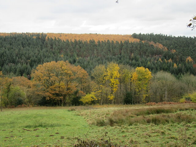
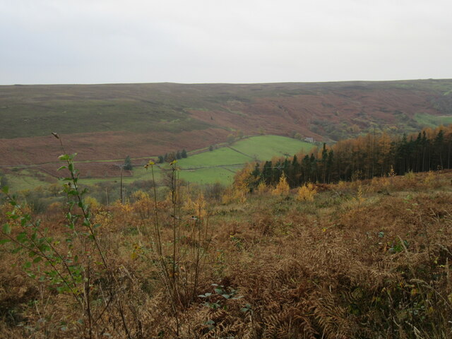
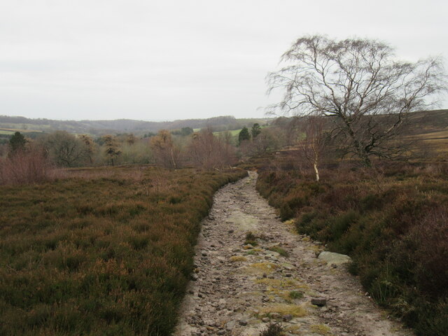
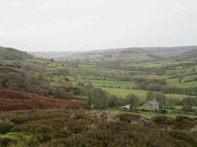
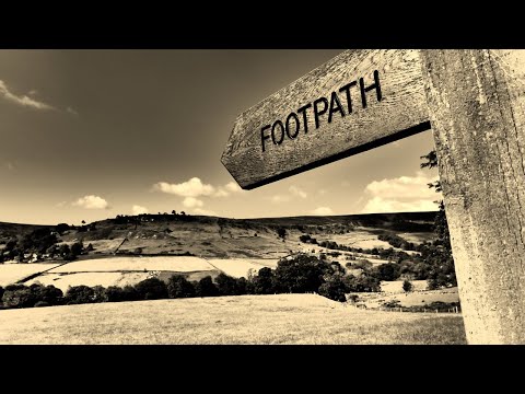
The surrounding area of Abraham's Hut is also worth exploring. The hut is nestled amidst rolling countryside, offering breathtaking views of the Yorkshire Dales. Visitors can take leisurely walks along scenic trails, immersing themselves in the natural beauty of the region.
Abraham's Hut is not only an important historical site but also a place of inspiration, inviting visitors to appreciate the achievements of Sir Henry Abraham and the rural landscapes that influenced his journey.
If you have any feedback on the listing, please let us know in the comments section below.
Abraham's Hut Images
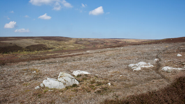
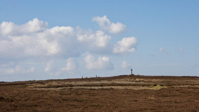
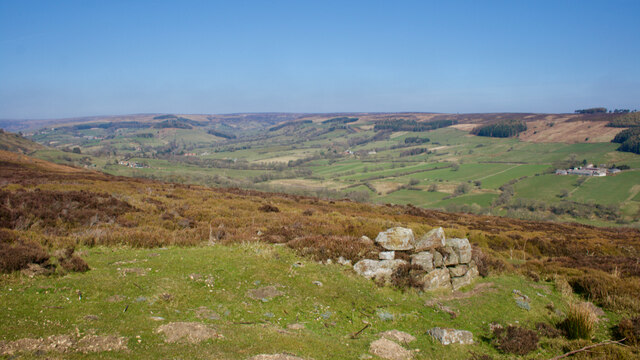
Images are sourced within 2km of 54.332/-0.87 or Grid Reference SE7393. Thanks to Geograph Open Source API. All images are credited.
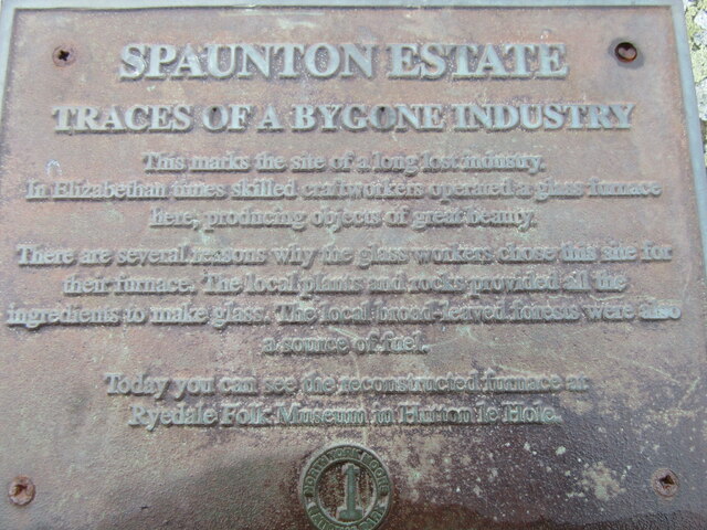
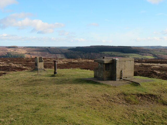
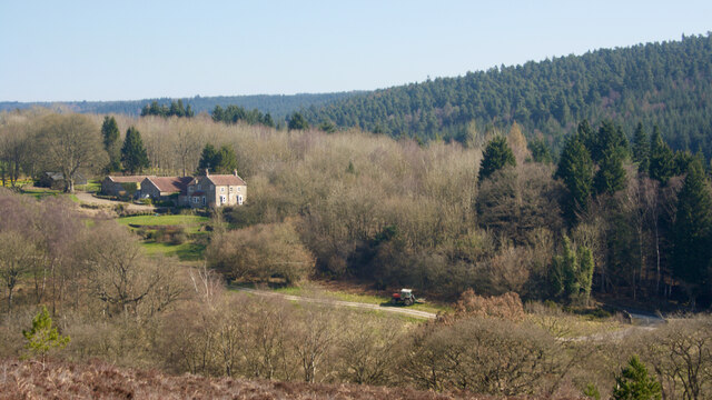
![Quarry, Spaunton Moor North York Moors National Park HER Map. RUINED BUILDING and QUARRY. HER Nos: 1261/7833 [online] Available at: <span class="nowrap"><a title="https://www.northyorkmoors.org.uk/discover/archaeology/her-map" rel="nofollow ugc noopener" href="https://www.northyorkmoors.org.uk/discover/archaeology/her-map">Link</a><img style="margin-left:2px;" alt="External link" title="External link - shift click to open in new window" src="https://s1.geograph.org.uk/img/external.png" width="10" height="10"/></span> [Accessed 26 Mar. 2022].](https://s1.geograph.org.uk/geophotos/07/12/90/7129081_14d29caf.jpg)
Abraham's Hut is located at Grid Ref: SE7393 (Lat: 54.332, Lng: -0.87)
Division: North Riding
Administrative County: North Yorkshire
District: Ryedale
Police Authority: North Yorkshire
What 3 Words
///opts.pans.briefing. Near Kirkbymoorside, North Yorkshire
Nearby Locations
Related Wikis

Rosedale Chimney Bank
Rosedale Chimney Bank or just Chimney Bank is a hill pass that carries a minor road between Rosedale Abbey and Hutton-le-Hole in the Ryedale district of...

Rosedale Abbey
Rosedale Abbey is a village in the Ryedale district of North Yorkshire, England. It is approximately 8 miles (13 km) north-west of Pickering, 8 miles south...

Rosedale, North Yorkshire
Rosedale is a valley located almost in the centre of the North York Moors national park in North Yorkshire, England. The nearest town is Kirkbymoorside...

Rosedale Priory
Rosedale Priory was a priory in Rosedale Abbey, North Yorkshire, England that was founded c. 1150–1199. By the time the priory was suppressed in 1535,...
Hartoft
Hartoft is a hamlet in the Ryedale district of North Yorkshire, England. It is situated approximately 7 miles (11 km) north-northwest from Pickering. The...

Church of St Mary, Lastingham
The Church of St Mary, Lastingham, is the Anglican parish church for the village of Lastingham in North Yorkshire, England. The parish is part of Ryedale...

Lastingham
Lastingham is a village and civil parish which lies in the Ryedale district of North Yorkshire, England. It is on the southern fringe of the North York...
Spaunton
Spaunton is a hamlet and civil parish in North Yorkshire, England. At the 2011 the civil parish had a population of less than 100. Details are included...
Related Videos

Rosedale Bank Top, Historic Ridge Walk!
Amidst the beautiful North York Moors National Park we hike the historic Ironstone trail of Rosedale Bank Top. An incredible ridge ...

Portrait of Place - Walking Tour
Join Kate on a guided walk around the exhibition. In these strange times, if you can't get there in person, we hope you enjoy this ...
Rosedale Abbey Circular - An Impressive Industrial Legacy
A 11 mile circular (if you visit the Dale Head farm café, which obviously you want to) starting at Rosedale Abbey in the North York ...
Rosedale & Ana Cross, North York Moors - 9 June 2020
A 13 mile walk around Rosedale valley. The route starts from the parking area on Blakey Ridge, heading north to the head of the ...
Nearby Amenities
Located within 500m of 54.332,-0.87Have you been to Abraham's Hut ?
Leave your review of Abraham's Hut below (or comments, questions and feedback).