Aberdeunant

Heritage Site in Carmarthenshire

Wales

Aberdeunant

Sticil ysgol Llansadwrn / Llansadwrn ladder tile Sticil ysgol yn croesi wal gerrig sych ger Llansadwrn

A ladder stile crossing a drystone wall near Llansadwrn
Sticil ysgol Llansadwrn / Llansadwrn ladder tile Credit: Alan Richards

Aberdeunant is a historic heritage site located in the county of Carmarthenshire, Wales. This site holds great significance as it offers a glimpse into the rich history and culture of the region. The main attraction of Aberdeunant is the 17th-century farmhouse, which has been preserved and restored to its original condition.

The farmhouse is a prime example of a traditional Welsh longhouse, featuring a thatched roof and stone walls. It provides visitors with a unique opportunity to step back in time and experience the way of life of rural Welsh communities in the past. The interior of the farmhouse has been furnished with period-appropriate furniture and decor, further enhancing the authenticity of the experience.

In addition to the farmhouse, Aberdeunant also boasts beautifully manicured gardens and grounds. The gardens are meticulously maintained, showcasing a variety of native plants and flowers. Walking through the gardens, visitors can enjoy the tranquil atmosphere and appreciate the natural beauty of the surrounding countryside.

Furthermore, Aberdeunant offers educational opportunities for visitors interested in learning about Welsh history and heritage. The site hosts workshops and events throughout the year, providing insight into traditional crafts, farming practices, and local customs.

Overall, Aberdeunant is a must-visit destination for history enthusiasts and those seeking a deeper understanding of Welsh heritage. With its well-preserved farmhouse, stunning gardens, and educational programs, it offers a comprehensive and immersive experience into the past.

If you have any feedback on the listing, please let us know in the comments section below.
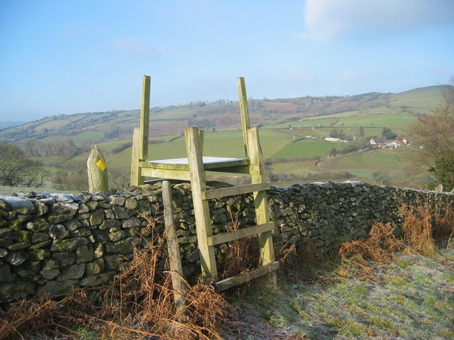
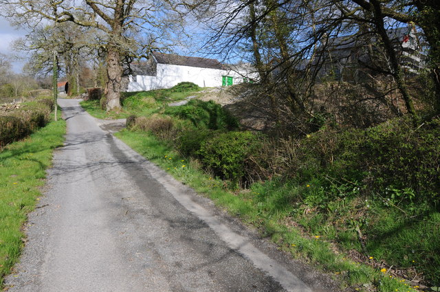
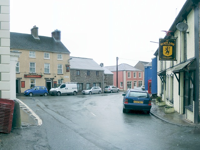
Aberdeunant Images

Images are sourced within 2km of 51.96/-3.934 or Grid Reference SN6730. Thanks to Geograph Open Source API. All images are credited.

Sticil ysgol Llansadwrn / Llansadwrn ladder tile Sticil ysgol yn croesi wal gerrig sych ger Llansadwrn

A ladder stile crossing a drystone wall near Llansadwrn
Sticil ysgol Llansadwrn / Llansadwrn ladder tile
Sticil ysgol yn croesi wal gerrig sych ger Llansadwrn A ladder stile crossing a drystone wall near Llansadwrn
View to Coedhirion View to Coedhirion in the Pyle Bâch valley to the east of Halfway.
View to Coedhirion
View to Coedhirion in the Pyle Bâch valley to the east of Halfway.
View to Banc View across the valley which Pyle Bâch drains, the farm on the hillside opposite is Banc.
View to Banc
View across the valley which Pyle Bâch drains, the farm on the hillside opposite is Banc.
Country road near Tir-y-fan Country road near Tir-y-fan, high above the Pyle Bâch valley to the left.
Country road near Tir-y-fan
Country road near Tir-y-fan, high above the Pyle Bâch valley to the left.
Road passing Maerdy-uchaf Country road passing Maerdy-uchaf to the east of Halfway.
Road passing Maerdy-uchaf
Country road passing Maerdy-uchaf to the east of Halfway.
Bridge over Afon Marlais Bridge over Afon Marlais to the west of Llansadwrn.
Bridge over Afon Marlais
Bridge over Afon Marlais to the west of Llansadwrn.
Cattle feeder in a field Cattle feeder in a field to the west of Llansadwrn.
Cattle feeder in a field
Cattle feeder in a field to the west of Llansadwrn.
Farmland west of Llansadwrn Farmland west of Llansadwrn with Plasnewydd on the horizon.
Farmland west of Llansadwrn
Farmland west of Llansadwrn with Plasnewydd on the horizon.
New bridge over a stream A new bridge carrying a country road over a stream to the west of Llansadwrn.
New bridge over a stream
A new bridge carrying a country road over a stream to the west of Llansadwrn.
Bryn-Marlais View across farmland to Bryn-Marlais
Bryn-Marlais
View across farmland to Bryn-Marlais
Triangulation Pillar (S6469) Fan Hill 3rd Order Triangulation Pillar carries flush bracket S6469 which marks a point 265.725m above mean sea level.
Triangulation Pillar (S6469)
Fan Hill 3rd Order Triangulation Pillar carries flush bracket S6469 which marks a point 265.725m above mean sea level.
Ger  Llwyn y Bwch / Near Llwyn y Bwch Cerddwyr yn croesi pontdroed sy'n rhychwantu Afon Marlais ger Ffarm Llwyn y Bwch. .

Walkers crossing a footbridge spanning the Marlais River near Llwyn y Bwch Farm (trans. buck grove).
Ger Llwyn y Bwch / Near Llwyn y Bwch
Cerddwyr yn croesi pontdroed sy'n rhychwantu Afon Marlais ger Ffarm Llwyn y Bwch. . Walkers crossing a footbridge spanning the Marlais River near Llwyn y Bwch Farm (trans. buck grove).
Llwybr Parc Side / Parc Side path Sticil ar lwybr sy'n arwain at Ffarm Parc Side.

Stile on a footpath leading to Parc Side Farm.
Llwybr Parc Side / Parc Side path
Sticil ar lwybr sy'n arwain at Ffarm Parc Side. Stile on a footpath leading to Parc Side Farm.
Ordnance Survey Cut Mark This OS cut mark can be found on the Libanus Chapel. It marks a point 113.782m above mean sea level.
Ordnance Survey Cut Mark
This OS cut mark can be found on the Libanus Chapel. It marks a point 113.782m above mean sea level.
Ordnance Survey Cut Mark This OS cut mark can be found on the garage next to the bridge. It marks a point 98.214m above mean sea level.
Ordnance Survey Cut Mark
This OS cut mark can be found on the garage next to the bridge. It marks a point 98.214m above mean sea level.
The lane for Felindre
Libanus, a Welsh non-conformist chapel Built in 1841, a Grade II listed building.
Libanus, a Welsh non-conformist chapel
Built in 1841, a Grade II listed building.
High-hedged country lane A little-used lane in rural Carmarthenshire.
High-hedged country lane
A little-used lane in rural Carmarthenshire.
Show me another place!

Aberdeunant is located at Grid Ref: SN6730 (Lat: 51.96, Lng: -3.934)

Unitary Authority: Carmarthenshire

Police Authority: Dyfed Powys

What 3 Words

///teamed.confining.racing. Near Llansadwrn, Carmarthenshire

Nearby Locations

Aberdeunant

Related Wikis

Llansadwrn

Llansadwrn (; Welsh: [ɬanˈsadʊn]; ) is a small village and community in Carmarthenshire, Wales. It is located in the countryside above the valley of the...

Llangadog railway station

Llangadog railway station serves the village of Llangadog near Llandeilo, Carmarthenshire. The station is on the Heart of Wales Line 36+1⁄2 miles (59 km...

River Sawdde

The Afon Sawdde is a river in the county of Carmarthenshire, Wales. For most of its course it flows through the Brecon Beacons National Park and Fforest...

Talley transmitting station

The Talley television relay station is sited on high ground to the north of the village of Talley in Carmarthenshire. It was originally built in 1986 as...

Glanrhyd Bridge collapse

On 19 October 1987, a train on the Heart of Wales line derailed and fell into the River Towy due to the partial collapse of the Glanrhyd Bridge near Llandeilo...

Llanwrda

Llanwrda ([ɬanʊrˈda] ) is a village and community in Carmarthenshire, Wales, 4 miles (6.4 km) southwest of Llandovery. It lies on the River Towy. The population...

Llanwrda railway station

Llanwrda railway station serves the village of Llanwrda near Llandovery, Carmarthenshire. Opened by the Vale of Towy Railway in 1858, the station is on...

Llangadog

Llangadog () is a village and community in Carmarthenshire, Wales, which also includes the villages of Bethlehem and Capel Gwynfe. A notable local landscape...

Nearby Amenities

Located within 500m of 51.96,-3.934
Ford: yes
Lat/Long: 51.9604171/-3.9362691
The data included in this document is from www.openstreetmap.org. The data is made available under ODbL.

Have you been to Aberdeunant?

Leave your review of Aberdeunant below (or comments, questions and feedback).