Abel Cross
Heritage Site in Yorkshire
England
Abel Cross

Abel Cross, located in Yorkshire, England, is a significant heritage site that holds great historical and cultural importance. The cross stands proudly in a picturesque village, surrounded by lush green fields and rolling hills. Dating back to the 10th century, it is believed to be one of the oldest surviving stone crosses in the region.
The Abel Cross stands at an impressive height of seven meters and is made from local sandstone. It features intricate carvings, showcasing a mix of Christian symbolism and pagan motifs. The cross is adorned with intricate patterns, including interlacing knots, spirals, and animal figures, which are typical of the Celtic art style.
Historians believe that the Abel Cross served as a meeting point for religious ceremonies and community gatherings during medieval times. It is also said to have marked a significant pilgrimage route that passed through the village, attracting pilgrims from far and wide.
Over the centuries, the Abel Cross has faced the test of time and has been subject to weathering and damage. However, it has been carefully restored and preserved by local authorities and heritage organizations, ensuring its continued existence for future generations to appreciate and learn from.
Today, the Abel Cross is a popular attraction for history enthusiasts, archaeologists, and tourists alike. It offers a glimpse into the rich cultural heritage of Yorkshire, and its significance as a historical landmark cannot be overstated.
If you have any feedback on the listing, please let us know in the comments section below.
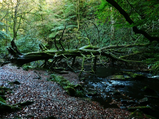
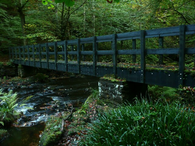
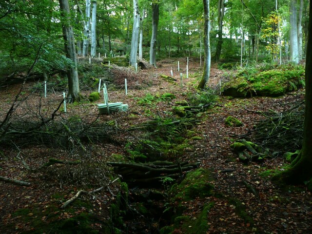
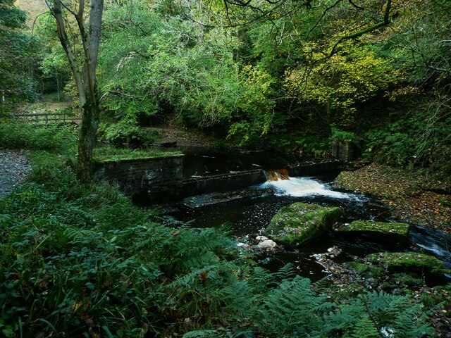
Abel Cross Images
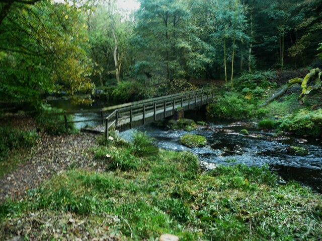
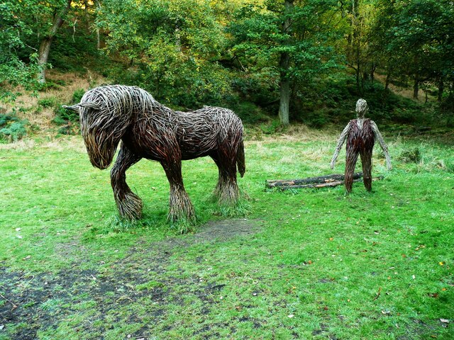
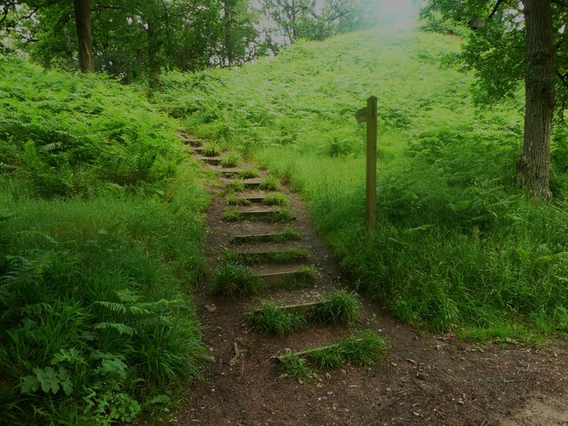
Images are sourced within 2km of 53.77/-2.023 or Grid Reference SD9830. Thanks to Geograph Open Source API. All images are credited.


Abel Cross is located at Grid Ref: SD9830 (Lat: 53.77, Lng: -2.023)
Division: West Riding
Unitary Authority: Calderdale
Police Authority: West Yorkshire
What 3 Words
///headache.forkful.chest. Near Hebden Bridge, West Yorkshire
Nearby Locations
Related Wikis

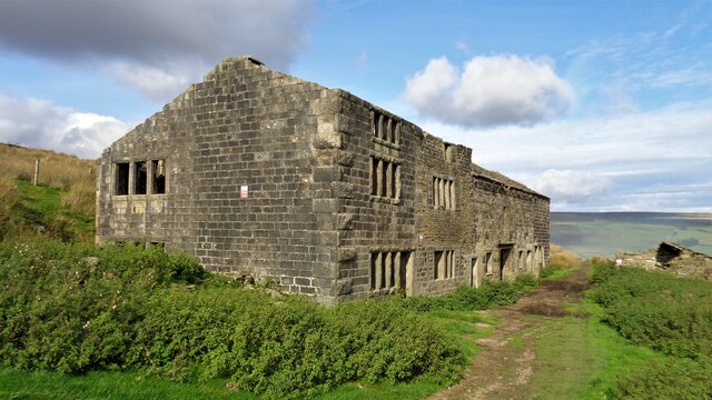
Hardcastle Crags
Hardcastle Crags is a wooded Pennine valley in West Yorkshire, England, owned by the National Trust. Historically part of the West Riding of Yorkshire...

Wainsgate Baptist Church
Wainsgate Baptist Church is a redundant chapel standing in an elevated position above the town of Hebden Bridge, West Yorkshire, England (grid reference...

Heptonstall
Heptonstall is a small village and civil parish within the Calderdale borough of West Yorkshire, England, historically part of the West Riding of Yorkshire...

Old Town, West Yorkshire
Old Town is a village in Calderdale, West Yorkshire, England. It is situated on a hilltop above Hebden Bridge and across the Hebden valley from Heptonstall...

Blake Dean Railway
The Blake Dean Railway was an approximately 5.5 miles (9 km) long 3 ft (914 mm) gauge narrow gauge railway on the edge of Hardcastle Crags Valley in West...

Hepton Rural District
Hepton was a rural district in the West Riding of Yorkshire, England, from 1894 to 1974. The district included four civil parishes: Heptonstall, Blackshaw...

Wadsworth, West Yorkshire
Wadsworth is a civil parish in the Metropolitan Borough of Calderdale in West Yorkshire, England. It has a population of 1,456, increasing to 1,603 at...

Chiserley
Chiserley is a hamlet located on a hilltop near the town of Hebden Bridge, in the county of West Yorkshire, England. The Hamlet falls within the Calder...
Related Videos

Hebden Bridge In England - 5K HDR Walking Tour of the 4th Funkiest Town in the World
Open to Collab with Travel Companies, please send an email. Support my work; https://www.buymeacoffee.com/wasimahmed ...

Hebden Bridge Yorkshire | voted the greatest town in Europe
Welcome to the delightful town of Hebden Bridge, a hidden gem nestled in the breathtaking beauty of West Yorkshire, England!

Trek to Lumb Hole Falls - Hiking and History #1 (Victoria Station, Hebden Bridge, Heptonstall)
This video documents the preferred route I take to Lumb Hole Falls in West Yorkshire, a beautifully quaint and underrated waterfall ...
Hebden Bridge Walk Through #shorts #short
A quite walk through Hebden Bridge Last year #shorts #short #hebdenbridge #yorkshire #travel.
Nearby Amenities
Located within 500m of 53.77,-2.023Have you been to Abel Cross?
Leave your review of Abel Cross below (or comments, questions and feedback).