Charles Rough
Downs, Moorland in Yorkshire
England
Charles Rough

Charles Rough is a picturesque area located in Yorkshire, England. It is renowned for its breathtaking landscape, which encompasses both downs and moorland. Covering an extensive area, Charles Rough offers a diverse range of natural features, making it an ideal destination for outdoor enthusiasts and nature lovers alike.
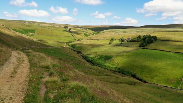
The downs in Charles Rough feature rolling hills and open grasslands, providing a tranquil setting for leisurely walks and picnics. The expansive green spaces are dotted with vibrant wildflowers during the summer months, creating a stunning vista. These downs also offer ample opportunities for wildlife spotting, with various species of birds, butterflies, and small mammals inhabiting the area.
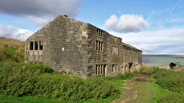
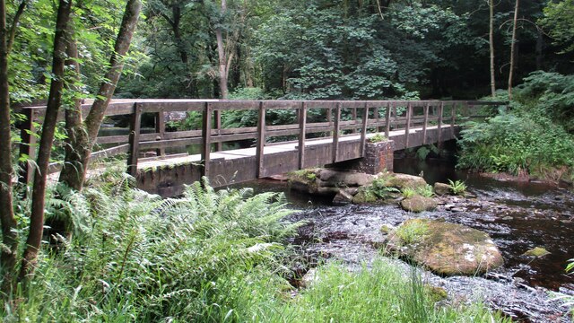
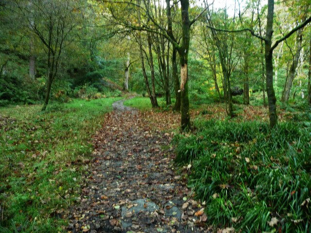
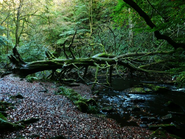
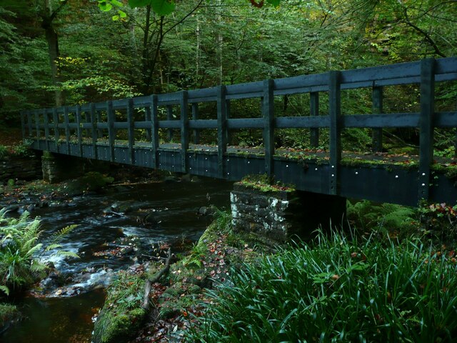
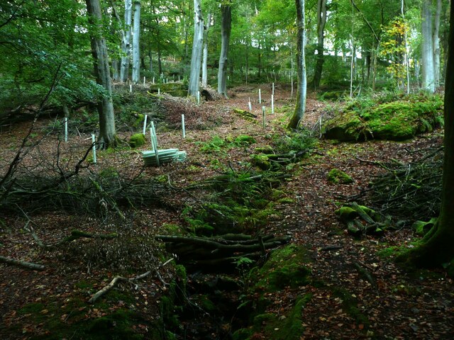
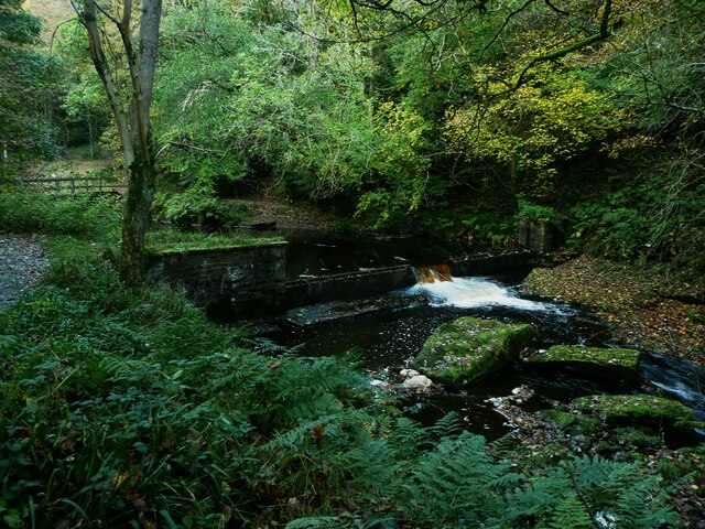
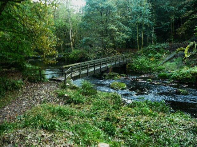
The moorland in Charles Rough presents a more rugged and dramatic scenery. Characterized by vast expanses of heather, moss, and bracken, this terrain is a haven for hikers and adventure seekers. The moors are intersected by winding trails, allowing visitors to explore the area's hidden gems, such as cascading waterfalls and ancient ruins. The moorland is particularly renowned for its panoramic views, with glimpses of distant valleys and rolling hills stretching as far as the eye can see.
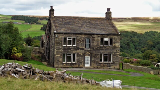
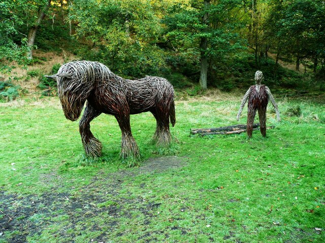
In addition to its natural beauty, Charles Rough offers a range of recreational activities. Visitors can indulge in activities such as horse riding, cycling, and camping, making it an ideal destination for a weekend getaway or a family vacation. The area also boasts a number of traditional villages and charming country pubs, where visitors can enjoy local cuisine and immerse themselves in the region's rich cultural heritage.
Overall, Charles Rough in Yorkshire is a captivating destination that showcases the best of England's natural splendor. With its downs, moorland, and a plethora of outdoor activities, it is sure to captivate the hearts of all who visit.
If you have any feedback on the listing, please let us know in the comments section below.
Charles Rough Images
Images are sourced within 2km of 53.774571/-2.0180192 or Grid Reference SD9830. Thanks to Geograph Open Source API. All images are credited.


Charles Rough is located at Grid Ref: SD9830 (Lat: 53.774571, Lng: -2.0180192)
Division: West Riding
Unitary Authority: Calderdale
Police Authority: West Yorkshire
What 3 Words
///carting.crunches.hugs. Near Hebden Bridge, West Yorkshire
Nearby Locations
Related Wikis

Hardcastle Crags
Hardcastle Crags is a wooded Pennine valley in West Yorkshire, England, owned by the National Trust. Historically part of the West Riding of Yorkshire...

Wainsgate Baptist Church
Wainsgate Baptist Church is a redundant chapel standing in an elevated position above the town of Hebden Bridge, West Yorkshire, England (grid reference...

Old Town, West Yorkshire
Old Town is a village in Calderdale, West Yorkshire, England. It is situated on a hilltop above Hebden Bridge and across the Hebden valley from Heptonstall...

Heptonstall
Heptonstall is a small village and civil parish within the Calderdale borough of West Yorkshire, England, historically part of the West Riding of Yorkshire...

Blake Dean Railway
The Blake Dean Railway was an approximately 5.5 miles (9 km) long 3 ft (914 mm) gauge narrow gauge railway on the edge of Hardcastle Crags Valley in West...

Chiserley
Chiserley is a hamlet located on a hilltop near the town of Hebden Bridge, in the county of West Yorkshire, England. The Hamlet falls within the Calder...

Wadsworth, West Yorkshire
Wadsworth is a civil parish in the Metropolitan Borough of Calderdale in West Yorkshire, England. It has a population of 1,456, increasing to 1,603 at...

Hepton Rural District
Hepton was a rural district in the West Riding of Yorkshire, England, from 1894 to 1974. The district included four civil parishes: Heptonstall, Blackshaw...
Related Videos


Trek to Lumb Hole Falls - Hiking and History #1 (Victoria Station, Hebden Bridge, Heptonstall)
This video documents the preferred route I take to Lumb Hole Falls in West Yorkshire, a beautifully quaint and underrated waterfall ...

Hardcastle Crags, Hebden Bridge - Halifax West Yorkshire
So we went for a walk, that turned into a hike, at a place called Hardcastle Crags!
Nearby Amenities
Located within 500m of 53.774571,-2.0180192Have you been to Charles Rough?
Leave your review of Charles Rough below (or comments, questions and feedback).