20 Forthlin Road, Allerton
Heritage Site in Lancashire
England
20 Forthlin Road, Allerton
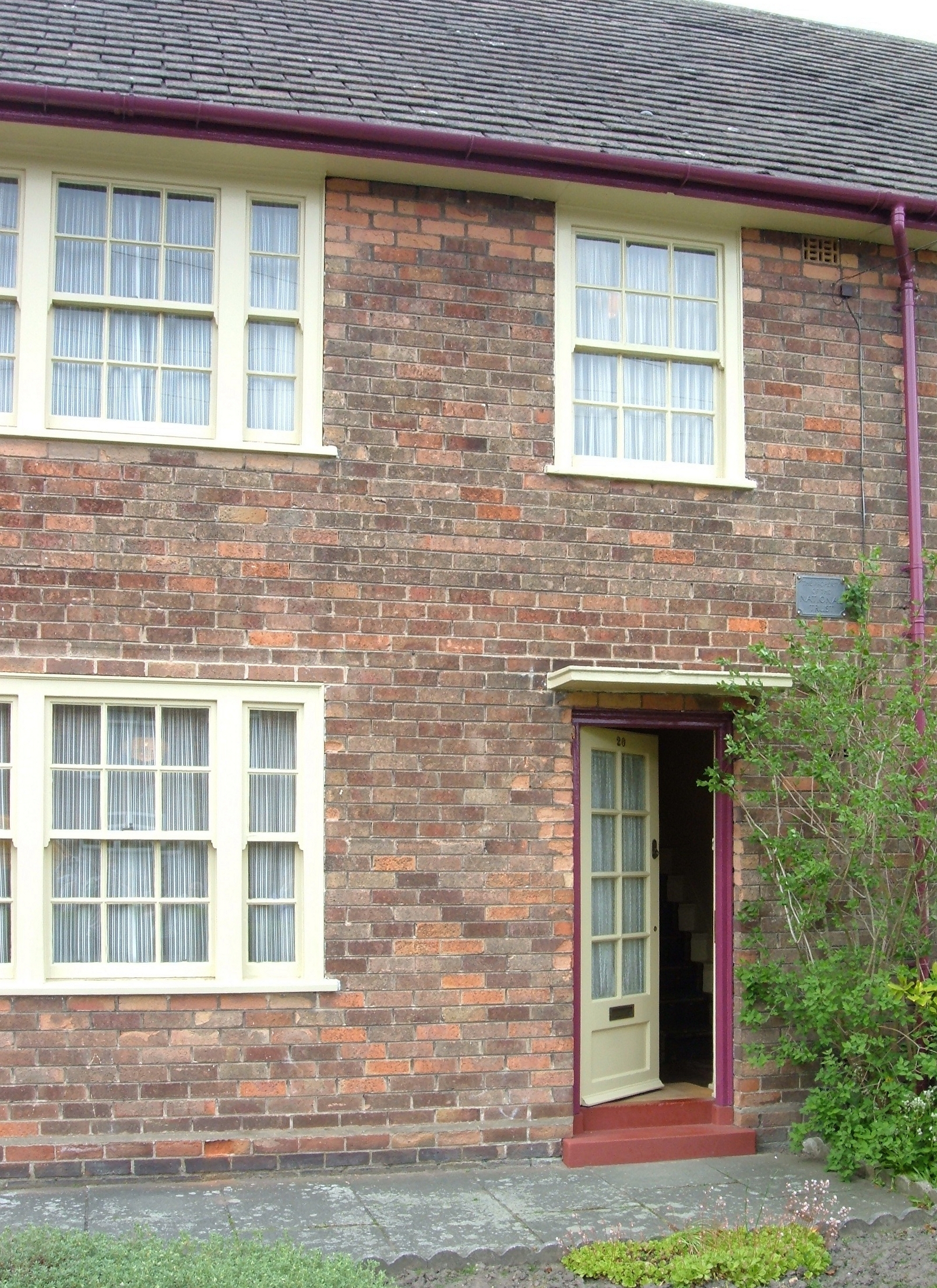
20 Forthlin Road is a heritage site located in Allerton, a suburb of Liverpool in Lancashire, England. This modest suburban house holds great historical significance as the childhood home of Sir Paul McCartney, one of the iconic members of the world-renowned band, The Beatles.
Built in the 1920s, this two-story terraced house served as the McCartney family home from 1955 to 1964. During this time, Paul, along with his younger brother Michael and their parents Jim and Mary McCartney, lived in the house. It was during their residency here that Paul and his bandmate John Lennon wrote many of their early songs, including "I Saw Her Standing There" and "Love Me Do."
Despite its unassuming appearance, 20 Forthlin Road has been carefully preserved and restored to reflect the period when the McCartney family lived there. Visitors can explore the house and see the rooms where the young Paul McCartney and his family spent their formative years. The interior is furnished with original furniture, personal belongings, and photographs, giving visitors a glimpse into the life of the McCartneys in the 1950s and 1960s.
The heritage site also features an exhibition area that showcases memorabilia, photographs, and audio recordings related to Paul McCartney's time at 20 Forthlin Road and his musical career. Additionally, there is a garden at the back of the house, which has been recreated based on photographs and memories of the McCartney family.
Today, 20 Forthlin Road stands as a testament to the enduring legacy of The Beatles and their impact on the world of music. It offers fans and music enthusiasts a unique opportunity to step into the childhood home of one of the greatest songwriters of all time.
If you have any feedback on the listing, please let us know in the comments section below.
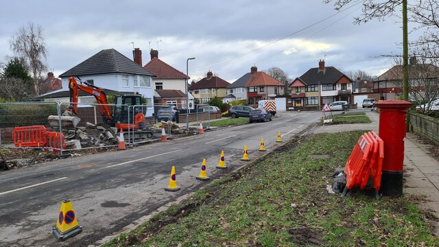
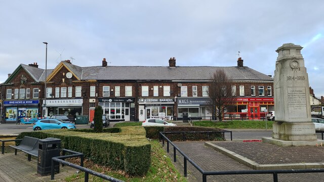
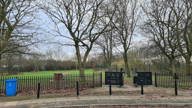
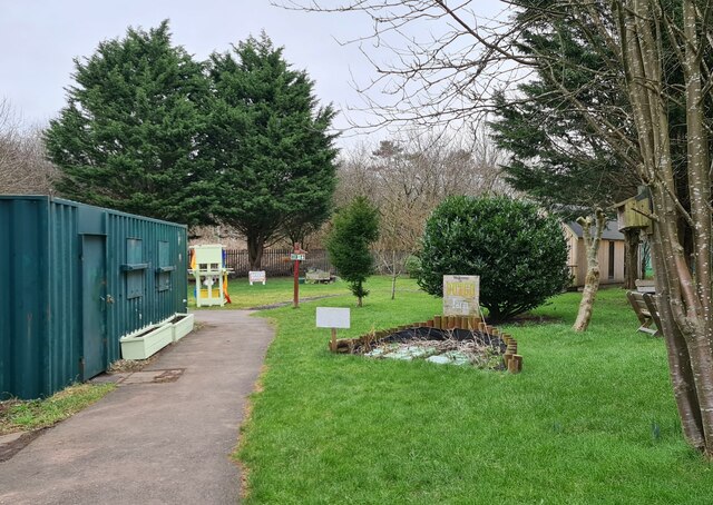
20 Forthlin Road, Allerton Images
Images are sourced within 2km of 53.369/-2.899 or Grid Reference SJ4086. Thanks to Geograph Open Source API. All images are credited.


20 Forthlin Road, Allerton is located at Grid Ref: SJ4086 (Lat: 53.369, Lng: -2.899)
What 3 Words
///wells.kicks.wipes. Near Bromborough, Merseyside
Nearby Locations
Related Wikis
20 Forthlin Road
20 Forthlin Road is a National Trust property in Allerton in south Liverpool, Merseyside, England. It is the house in which Paul McCartney lived for several...
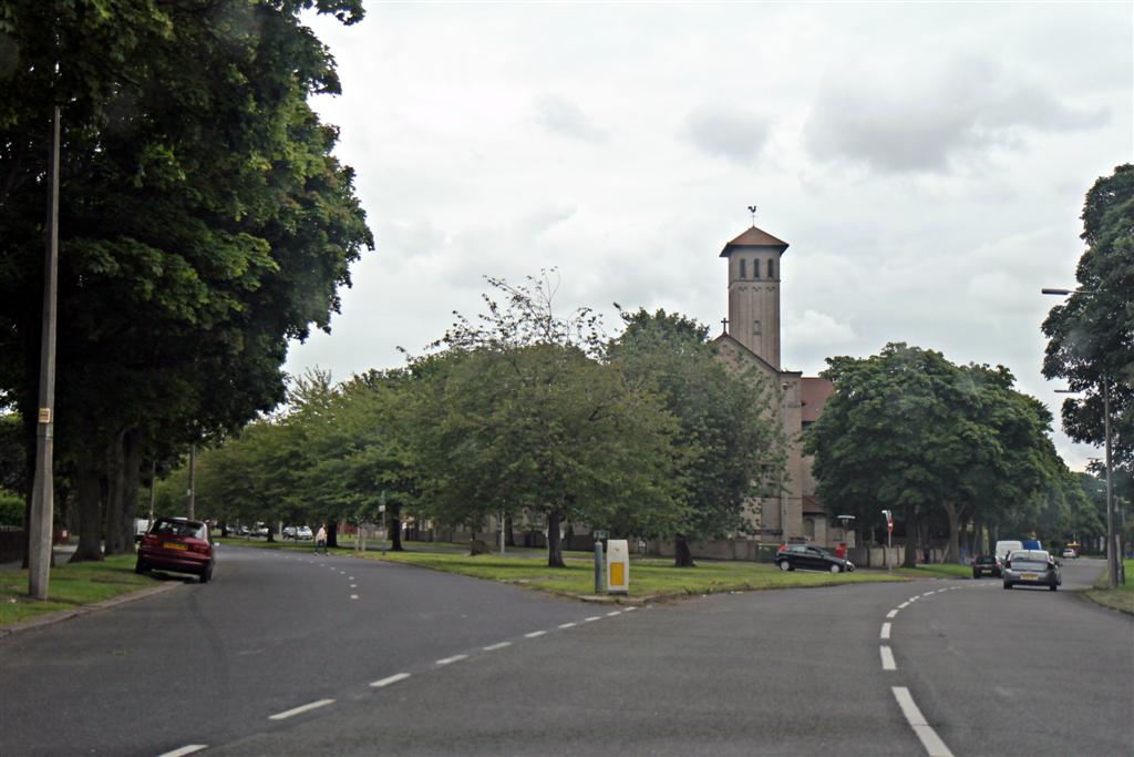
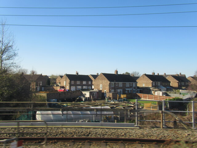
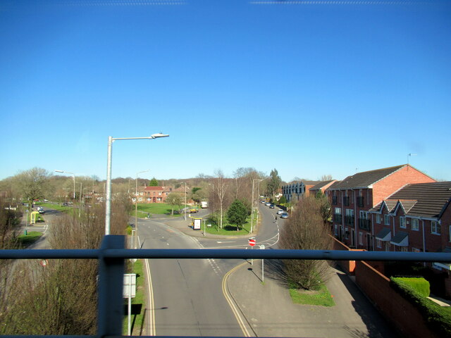
Allerton, Liverpool
Allerton is a suburb of Liverpool, England. Historically in Lancashire, it is located 3 miles (4.8 km) southeast of the city centre and is bordered by...

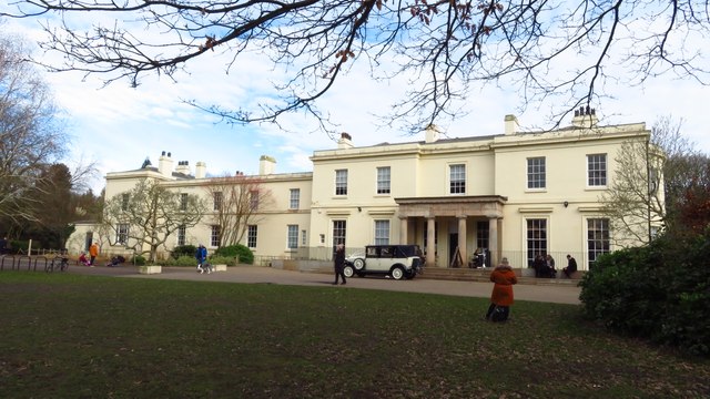
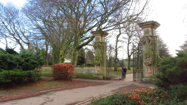
Allerton Tower Park
Allerton Tower Park is a public park in Allerton, Liverpool, in England. == History == The park was part of the Manor of Allerton until Hardman Earle acquired...

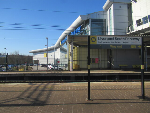
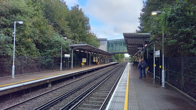
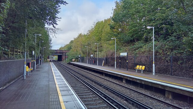
West Allerton railway station
West Allerton railway station serves the suburb of Allerton, Liverpool in the north west of England. The station, and all trains serving it, are operated...
New Heys Comprehensive School
New Heys Comprehensive School or New Heys Community College was an English comprehensive school in Liverpool specialising within Business. The school worked...

Allerton Golf Club House
Allerton Golf Club House is a ruined Neoclassical building located in Allerton, Liverpool, England. Completed in 1815 by the architect Harrison of Chester...
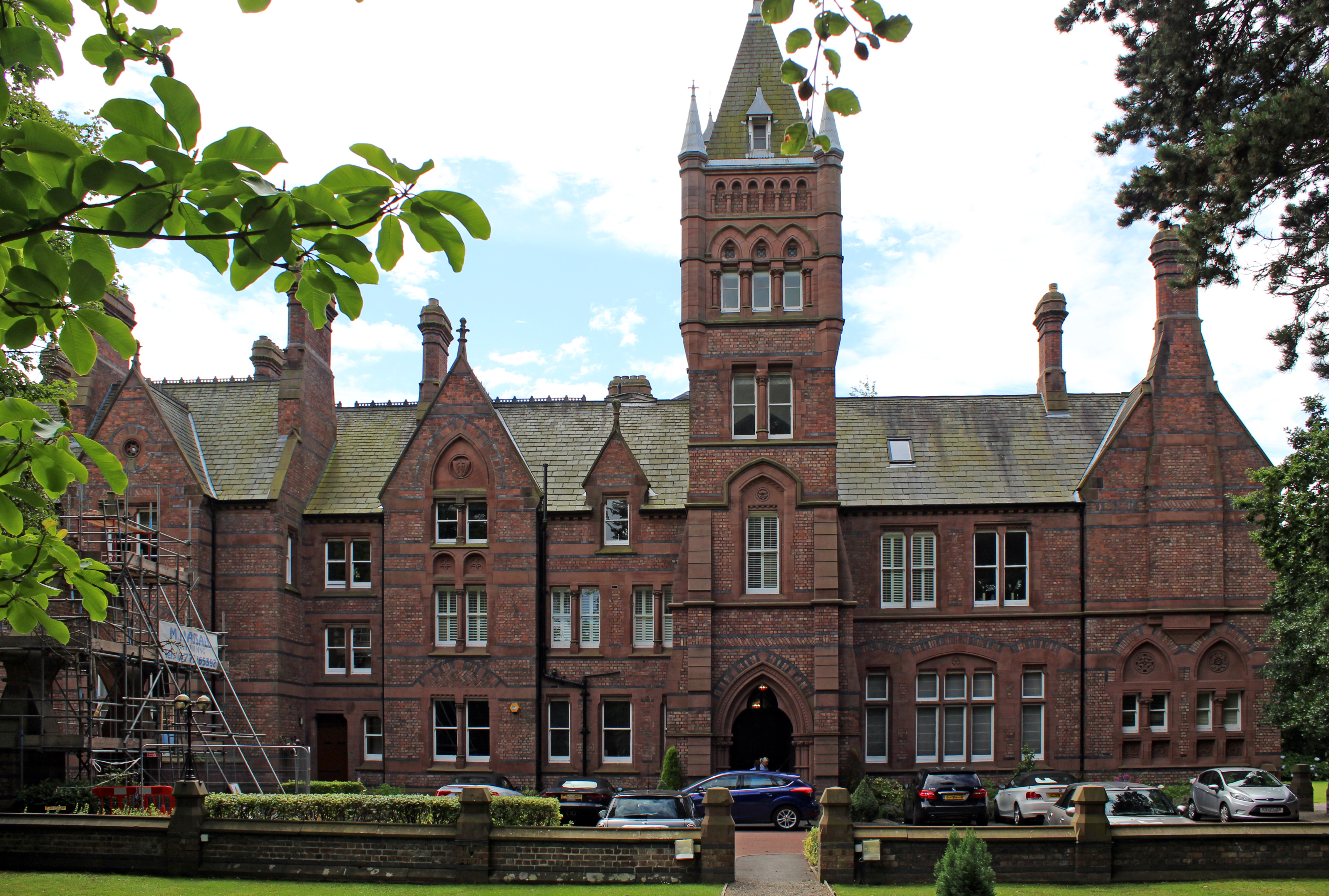
Allerton Priory
Allerton Priory, Liverpool, England, is a Grade II* listed building designed by Alfred Waterhouse.A house originally known as Allerton Lodge, but later...
Clarke's Gardens
Clarke's Gardens is a public park in the Allerton district of south Liverpool, England. It is close to Springwood Cemetery and situated between Woolton...
Related Videos

National Walking Day 🌲👣🌳 Netwalking 🌲👣🌳
National Walking Day Netwalking Green Time between Screen Time Nature Connection MOVE Netwalking ...

Netwalking 🥾🥾 Business Networking and Walking in Liverpool with MOVE Community #Netwalking #Shorts 👣
Netwalking Business Networking and Walking in Liverpool with MOVE Community #Netwalking #Liverpool #Networking ...

Sefton Park Liverpool, Merseyside, United Kingdom / #walking #parksandgardens #park #familytime
Sefton Park Liverpool, Merseyside, United Kingdom / #walking #parksandgardens #park #familytime #vlog #spring #familyfun ...

Netwalking 🥾🥾 Business Networking and Walking in Liverpool with MOVE Community
Netwalking Business Networking and Walking in Liverpool with MOVE Community #Netwalking #Liverpool #Networking ...
Nearby Amenities
Located within 500m of 53.369,-2.899Have you been to 20 Forthlin Road, Allerton?
Leave your review of 20 Forthlin Road, Allerton below (or comments, questions and feedback).