Wyndbrook

Settlement in Worcestershire Forest of Dean

England

Wyndbrook

M50 looking west near Pendock
M50 looking west near Pendock Credit: Colin Pyle

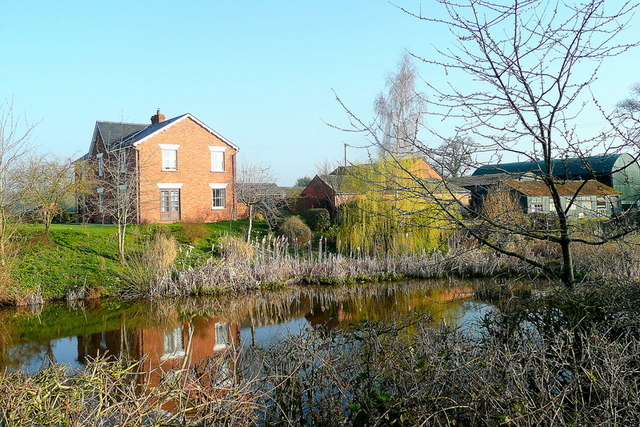
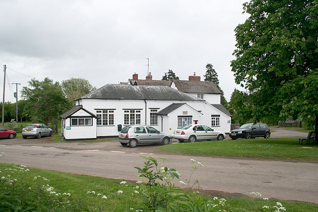
Wyndbrook is a small village located in the county of Worcestershire, England. Situated in the heart of the countryside, it is surrounded by rolling hills and picturesque landscapes. The village is known for its serene and tranquil atmosphere, making it an ideal destination for those seeking a peaceful retreat.

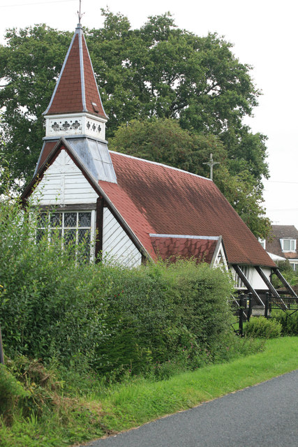
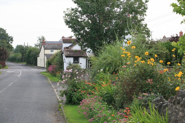
One of the defining features of Wyndbrook is its charming architecture, with many traditional cottages and stone houses lining the streets. The village center is home to a few local amenities, including a small convenience store and a quaint pub, where residents and visitors can gather and socialize.

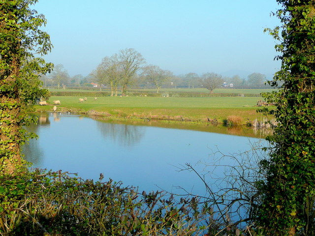
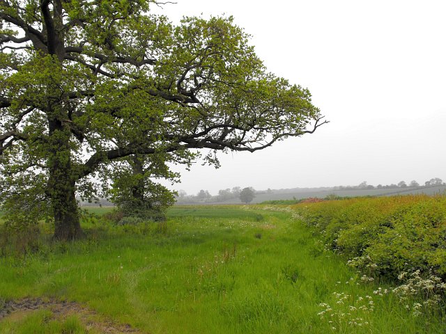
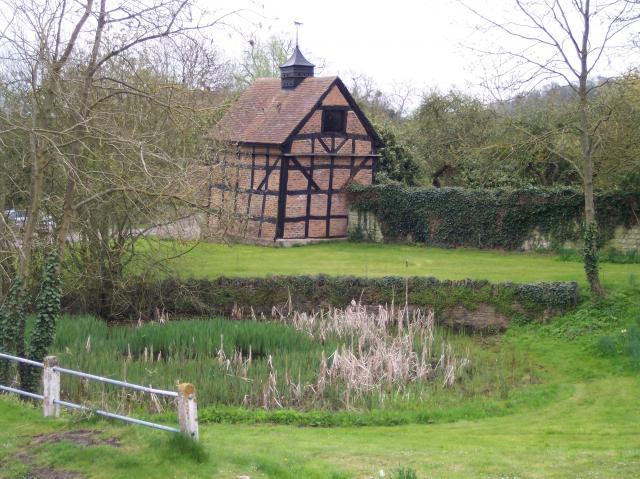
Nature enthusiasts will find Wyndbrook to be a paradise, as it is surrounded by an abundance of scenic walking trails and nature reserves. The nearby Wyndbrook Woods are particularly popular, offering a haven for wildlife and a perfect location for hiking, bird watching, and nature photography.

The community of Wyndbrook is close-knit and friendly, with residents often organizing events and activities to bring people together. The village hosts an annual summer fair, attracting visitors from nearby towns and villages.

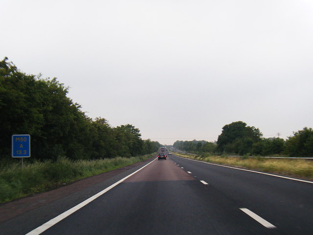
Despite its rural setting, Wyndbrook benefits from good transportation links. The village is connected to the wider region by a network of well-maintained roads, making it easily accessible by car. Additionally, there are regular bus services that connect Wyndbrook to neighboring towns and cities.

Overall, Wyndbrook offers a peaceful and picturesque escape from the hustle and bustle of city life. With its charming architecture, natural beauty, and friendly community, it is an idyllic place to call home or visit for a relaxing getaway.

If you have any feedback on the listing, please let us know in the comments section below.
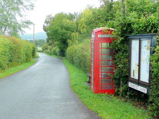
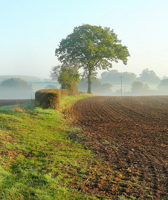
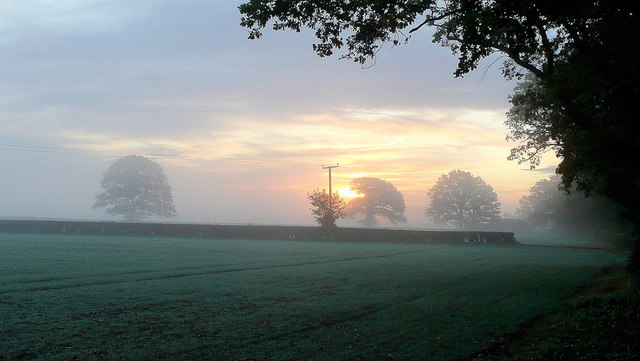
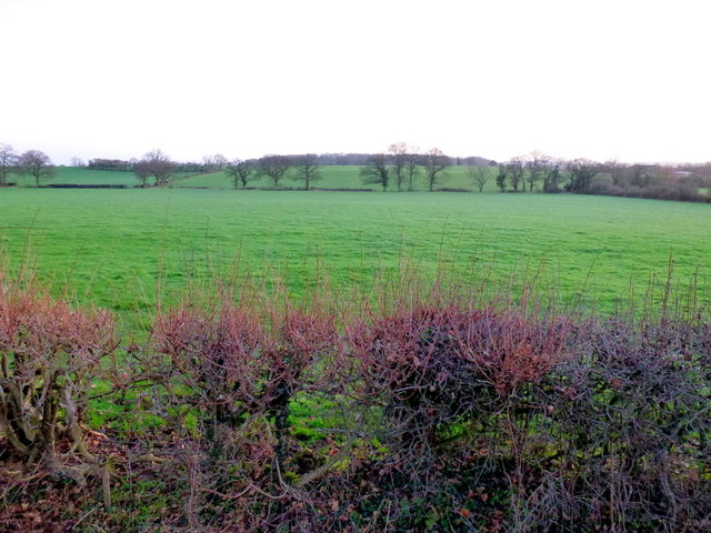
Wyndbrook Images

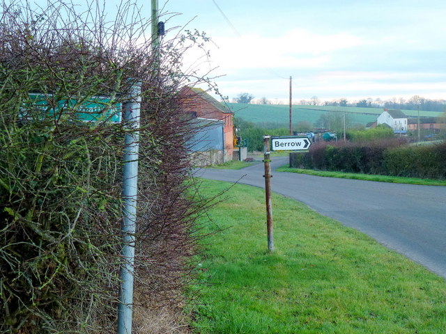
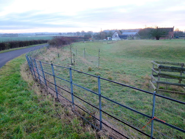
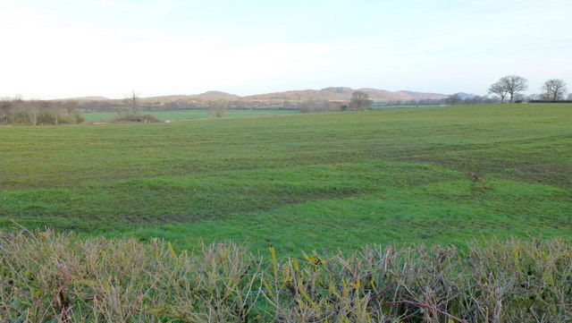
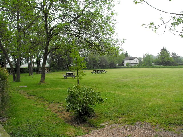
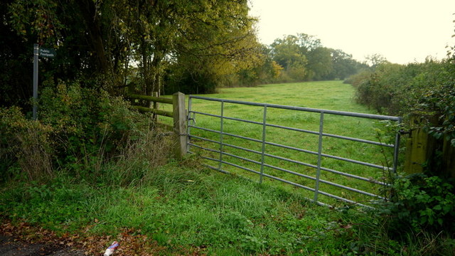
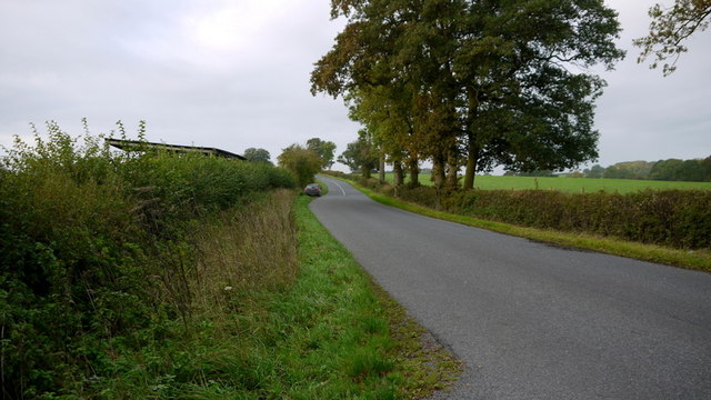
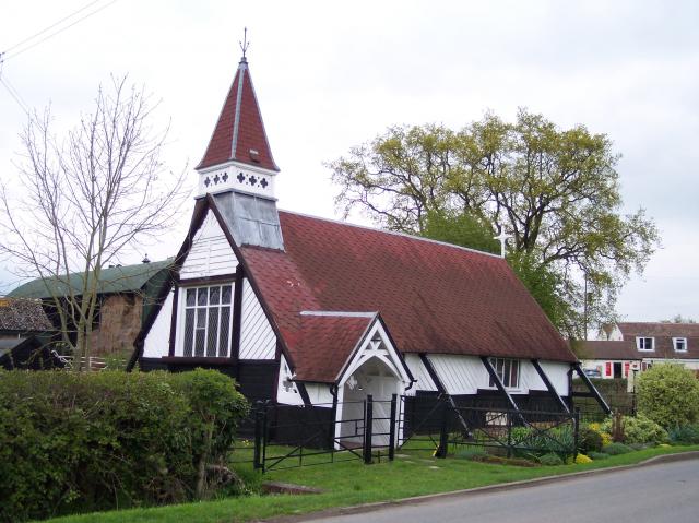
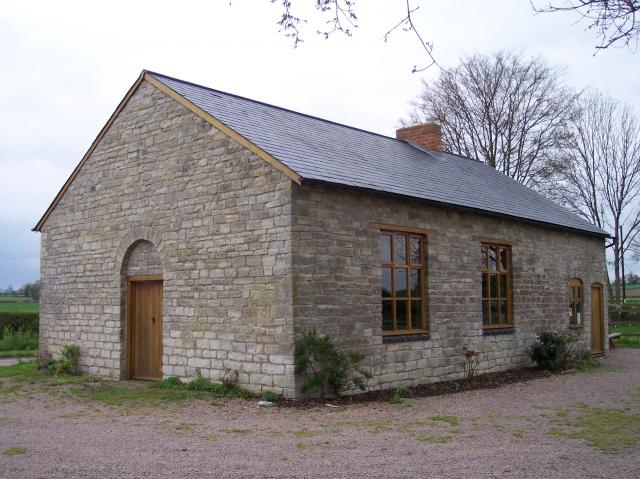
Images are sourced within 2km of 51.991968/-2.3215015 or Grid Reference SO7832. Thanks to Geograph Open Source API. All images are credited.

M50 looking west near Pendock
M50 westbound
M50 westbound
Cromer Pit Pond, Pendock In bright March sunshine.
Cromer Pit Pond, Pendock
In bright March sunshine.
Cromer Pit Pond, Pendock Looking across the pond on a March morning and hearing the M50 traffic, just visible, beyond.
Cromer Pit Pond, Pendock
Looking across the pond on a March morning and hearing the M50 traffic, just visible, beyond.
Chartist Lane, Lowbands Phone box, notice board and bench within this rural community.
Chartist Lane, Lowbands
Phone box, notice board and bench within this rural community.
Autumn edge The morning mist in the shallow Glynch valley is burning off on this fine September day.
Autumn edge
The morning mist in the shallow Glynch valley is burning off on this fine September day.
Autumnal dawn The line of the public path from Pound House to Parkgate.
Autumnal dawn
The line of the public path from Pound House to Parkgate.
View towards Berrow Wood Shot at dawn; the pastoral landscape is typical of South Worcestershire.
View towards Berrow Wood
Shot at dawn; the pastoral landscape is typical of South Worcestershire.
Path and road junction The view is east towards Whiting-ash and Lower Whiting Farm.
Path and road junction
The view is east towards Whiting-ash and Lower Whiting Farm.
Pasture near Holiday's Farm Pre-sunrise hence the blue overtones.
Pasture near Holiday's Farm
Pre-sunrise hence the blue overtones.
View to the Malvern Hills The rising sun is lighting the hills. The foreground pasture has recently had a fragrant application of manure.
View to the Malvern Hills
The rising sun is lighting the hills. The foreground pasture has recently had a fragrant application of manure.
Picnic and camping field beside Gadfield Elm Chapel The chapel <a title="https://www.geograph.org.uk/photo/3613" href="https://www.geograph.org.uk/photo/3613">Link</a> was built in 1836 by the United Brethren, a small break-off group from the Primitive Methodists. They had purchased the land for £25.
Picnic and camping field beside Gadfield Elm Chapel
The chapel Link was built in 1836 by the United Brethren, a small break-off group from the Primitive Methodists. They had purchased the land for £25.
Field adjacent to Gadfield Elm Chapel The two large oak trees in this corner make cultivation difficult. I think the crop beyond is wheat.
Field adjacent to Gadfield Elm Chapel
The two large oak trees in this corner make cultivation difficult. I think the crop beyond is wheat.
Pendock Cross Church By the Crossroads a church of different design.
Pendock Cross Church
By the Crossroads a church of different design.
Pendock village nice flowers
M50 westbound near Grafton Farm
Footpath along the Gloucestershire border The Wynd Brook hidden to the left forms part of the county boundary with Worcestershire.
This path heads east and stays within Gloucestershire until it approaches Carpenter's Farm in about half a mile.
Footpath along the Gloucestershire border
The Wynd Brook hidden to the left forms part of the county boundary with Worcestershire. This path heads east and stays within Gloucestershire until it approaches Carpenter's Farm in about half a mile.
Road to Gloucester Looking south-west from the footpath junction in <a href="https://www.geograph.org.uk/photo/3721594">SO7734 : Footpath along the Gloucestershire border</a>.
Road to Gloucester
Looking south-west from the footpath junction in SO7734 : Footpath along the Gloucestershire border.
Show me another place!

Wyndbrook is located at Grid Ref: SO7832 (Lat: 51.991968, Lng: -2.3215015)

Administrative County: Gloucestershire

District: Forest of Dean

Police Authority: Gloucestershire

What 3 Words

///deflect.prospered.musician. Near Corse, Gloucestershire

Related Wikis

Pendock

Pendock is a village and civil parish in the Malvern Hills district in the county of Worcestershire, England, situated about halfway between the towns...

Gadfield Elm Chapel

The Gadfield Elm Chapel near the village of Pendock in Worcestershire, England, is the oldest extant chapel of the Church of Jesus Christ of Latter-day...

Berrow, Worcestershire

Berrow is a village and civil parish in the Malvern Hills district of Worcestershire, England, about seven miles east of Ledbury. According to the 2021...

Eldersfield

Eldersfield is a village and civil parish in the Malvern Hills district of Worcestershire, England. It had a population of 584 in 2021.It stands exactly...

Nearby Amenities

Located within 500m of 51.991968,-2.3215015
Pendock
Place: village
Wikidata: Q3267422
Lat/Long: 51.9930493/-2.3157651
Bus Stop
Pendock Post Office
Naptan AtcoCode: 2000G017303
Naptan Bearing: SE
Naptan CommonName: Pendock Post Office
Naptan Indicator: adj
Naptan Landmark: Post Office
Naptan NaptanCode: wocdjmdm
Naptan Street: Crossroads
Naptan Verified: no
Source: naptan_import
Lat/Long: 51.9932684/-2.3154878
Pendock Post Office
Naptan AtcoCode: 2000G717303
Naptan Bearing: NW
Naptan BusStopType: CUS
Naptan CommonName: Pendock Post Office
Naptan Indicator: opp
Naptan Landmark: Post Office
Naptan NaptanCode: wocdwatw
Naptan Street: Crossroads
Naptan Verified: no
Source: naptan_import
Lat/Long: 51.9931774/-2.3156232
Barrier: stile
Foot: yes
Lat/Long: 51.9876104/-2.3200485
Post Office
Lower Pendock Post Office
Addr City: Gloucester
Addr Postcode: GL19 3PG
Addr Village: Pendock
Opening Hours: Mo,Tu,Fr 09:00-13:00; Th 09:00-13:00,14:00-16:00
Ref Pol Id: 6952
Lat/Long: 51.9936639/-2.3155491
Phone
Emergency: phone
Source: survey;Bing
Lat/Long: 51.995451/-2.3222357
Phone
Emergency: phone
Source: survey;Bing
Lat/Long: 51.9952084/-2.3222232
Barrier: stile
Foot: yes
Lat/Long: 51.9876583/-2.3200957
Power: pole
Lat/Long: 51.9907291/-2.3211079
Wynd Brook Lane Cottage
Power: pole
Transformer: distribution
Voltage Primary: 11000
Lat/Long: 51.9956583/-2.3234743
Power: pole
Lat/Long: 51.994778/-2.3228064
Wynd Brook Lane
Power: pole
Transformer: distribution
Voltage Primary: 11000
Lat/Long: 51.9939118/-2.3221318
Power: pole
Lat/Long: 51.993048/-2.3214827
Wynd Brook
Power: pole
Transformer: distribution
Voltage Primary: 11000
Lat/Long: 51.9921826/-2.3211783
Power: pole
Lat/Long: 51.9918217/-2.320894
Power: pole
Lat/Long: 51.9913955/-2.3205721
Line Attachment: .
Power: pole
Lat/Long: 51.990938/-2.3202167
Power: pole
Lat/Long: 51.9913221/-2.3188528
Power: pole
Lat/Long: 51.9916796/-2.3175211
Cromer Pit
Power: pole
Transformer: distribution
Voltage Primary: 11000
Lat/Long: 51.9924617/-2.3167916
Power: pole
Lat/Long: 51.9920335/-2.3162028
Power: pole
Lat/Long: 51.9924047/-2.3153821
Pendock
Power: pole
Transformer: distribution
Voltage Primary: 11000
Lat/Long: 51.9939927/-2.3156758
Power: pole
Lat/Long: 51.99383/-2.3148899
Wynd Brook West
Power: pole
Transformer: distribution
Voltage Primary: 11000
Lat/Long: 51.9903674/-2.3257401
Power: pole
Lat/Long: 51.989807/-2.3255865
Power: pole
Lat/Long: 51.9892095/-2.3254189
Power: pole
Lat/Long: 51.9886033/-2.3252694
Power: pole
Lat/Long: 51.9881355/-2.3249871
Power: pole
Lat/Long: 51.9886793/-2.3251319
Power: pole
Lat/Long: 51.9892645/-2.3239678
Power: pole
Lat/Long: 51.9898929/-2.3227394
Power: pole
Lat/Long: 51.9903048/-2.3219283
The data included in this document is from www.openstreetmap.org. The data is made available under ODbL.

Have you been to Wyndbrook?

Leave your review of Wyndbrook below (or comments, questions and feedback).